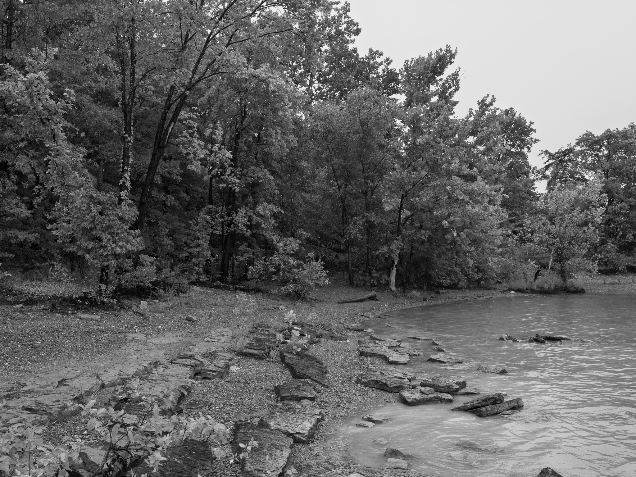
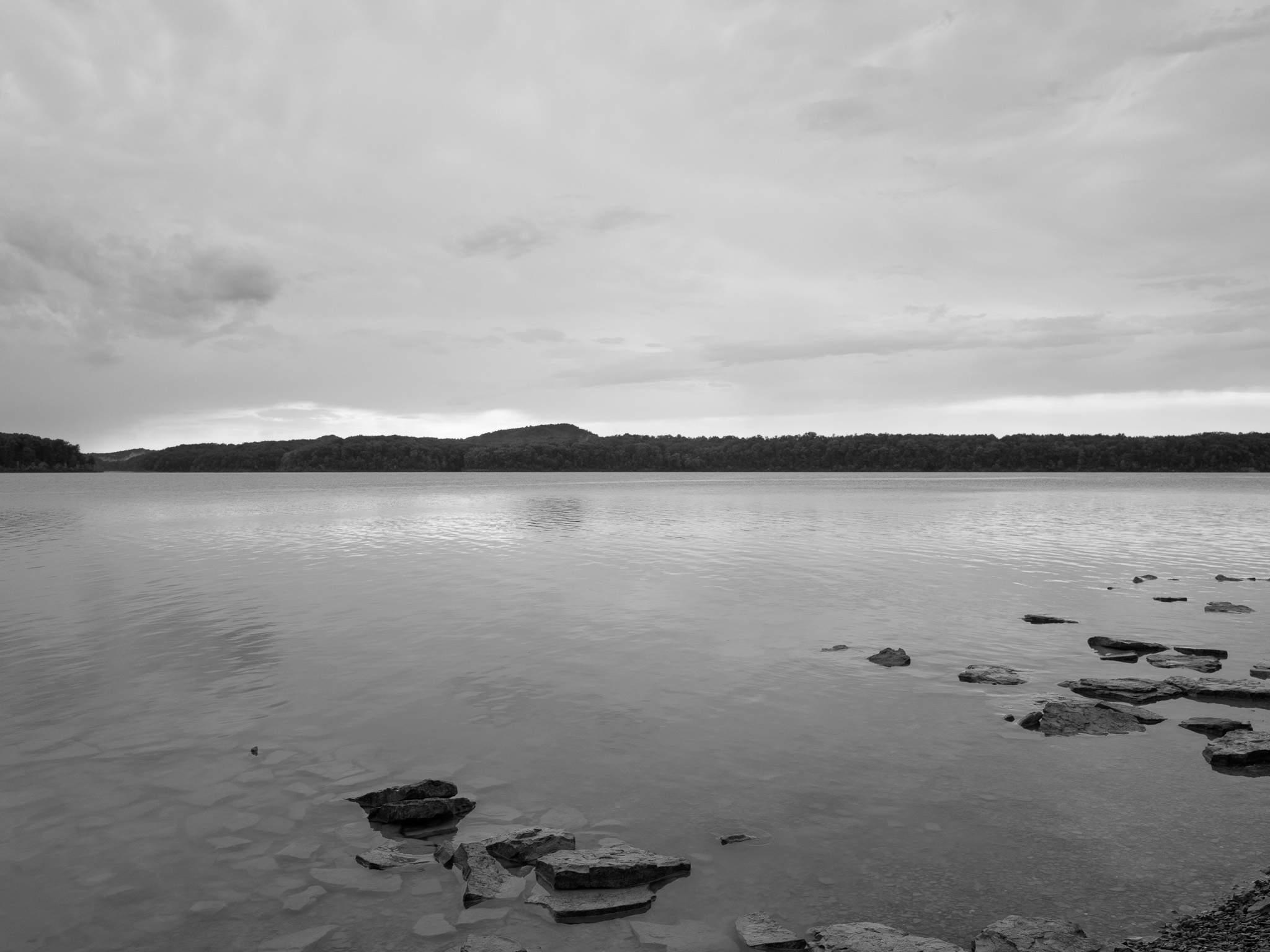
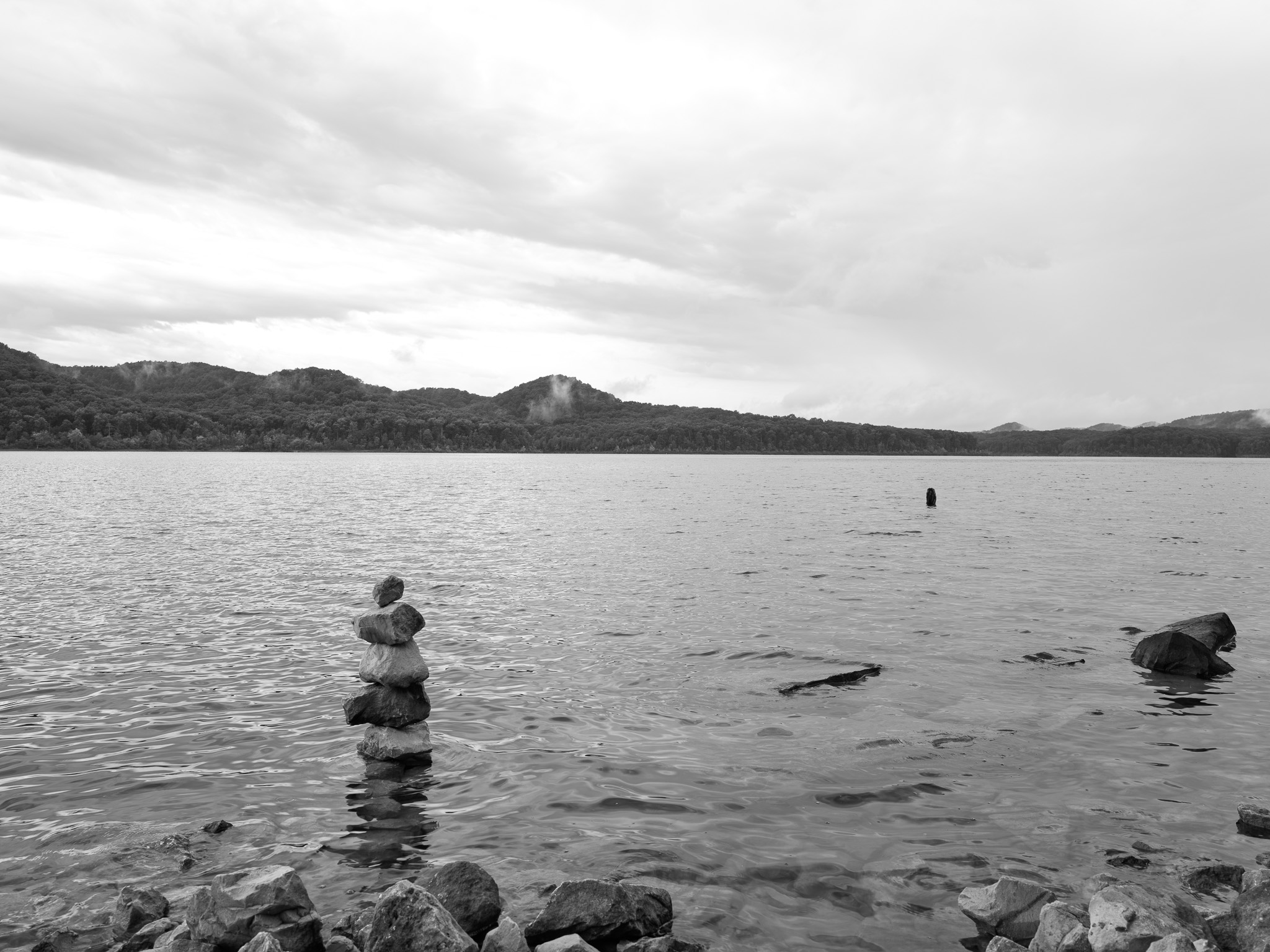
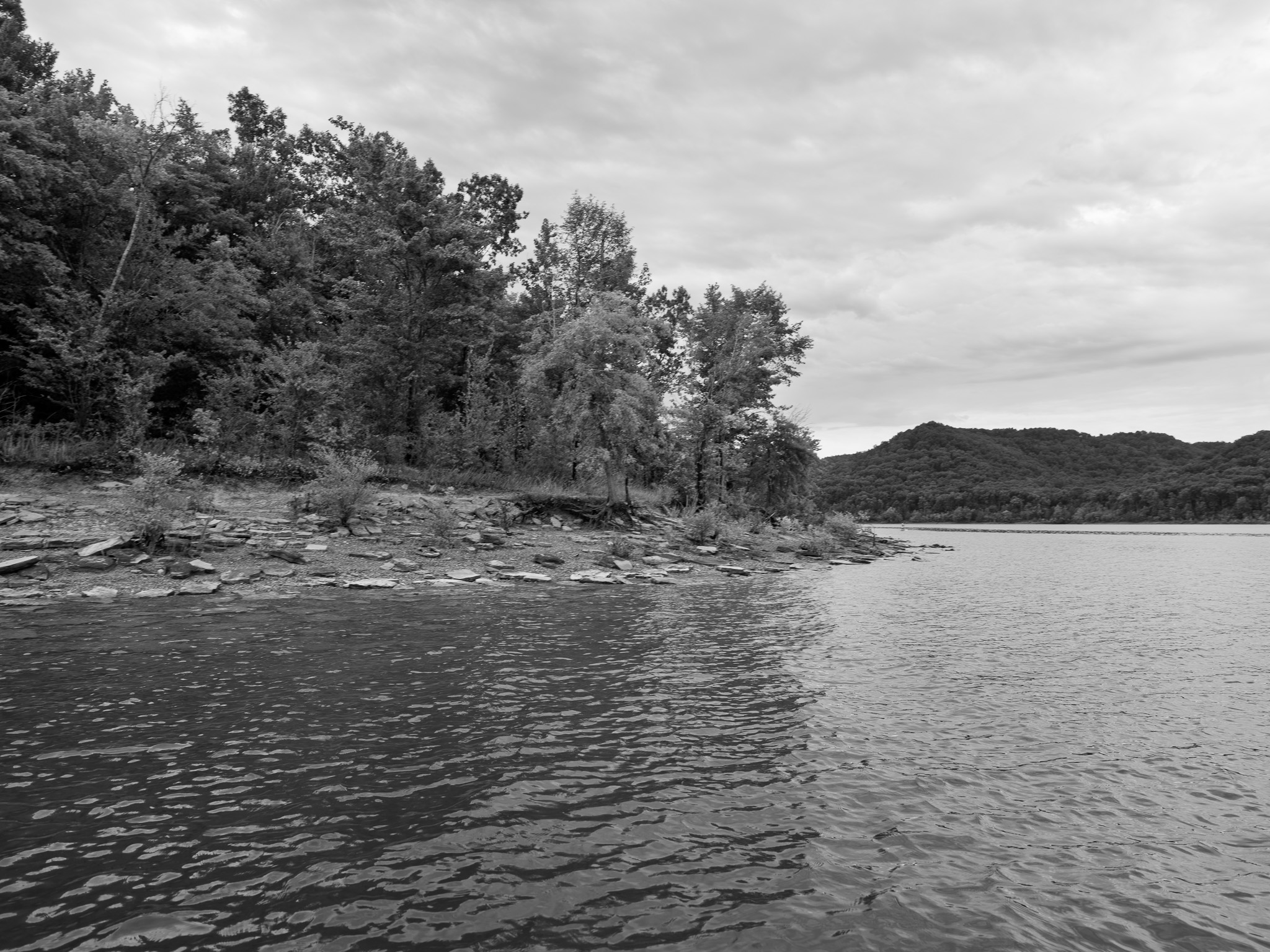
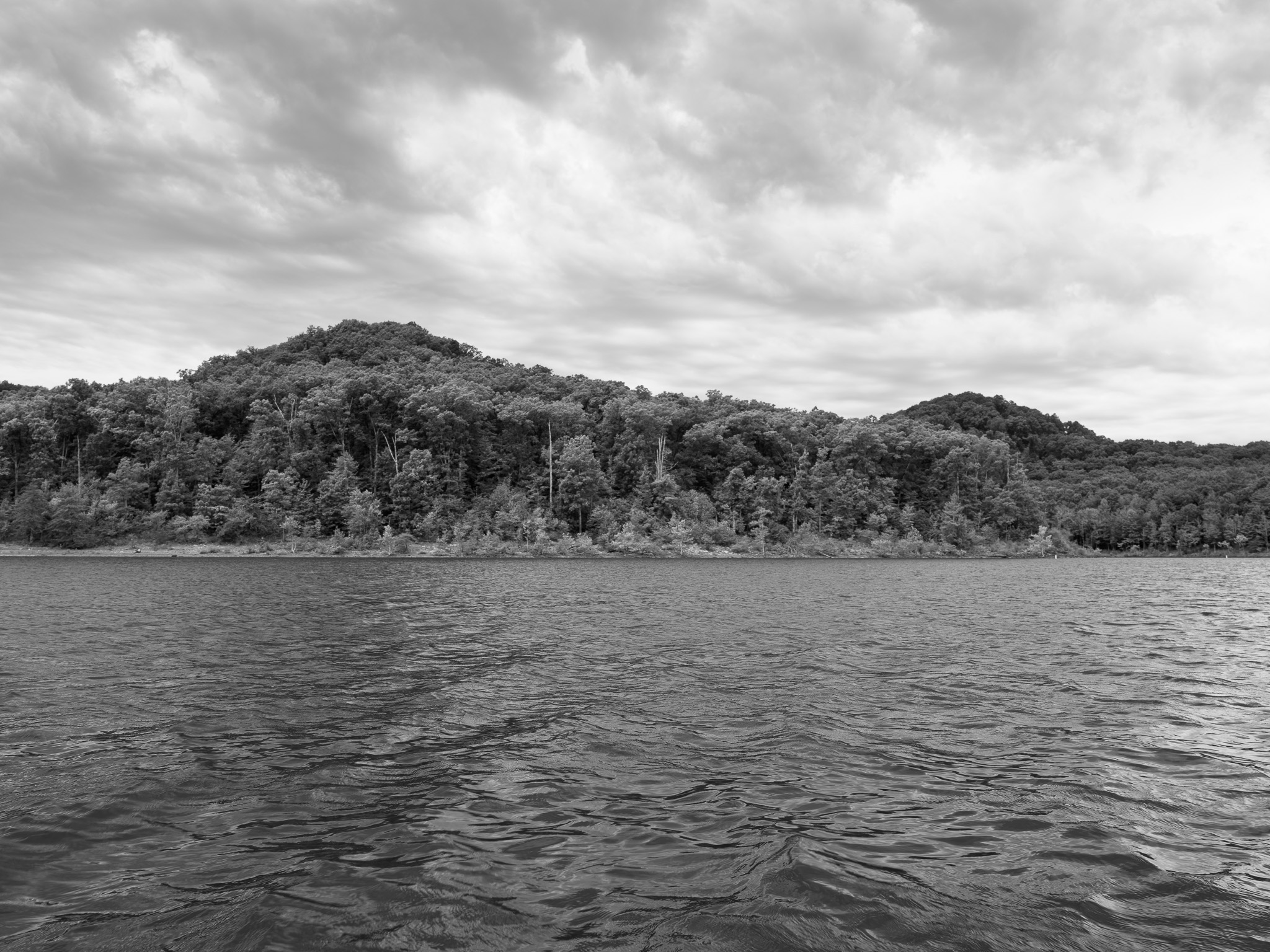
~345 Mya Mississippian Borden Formation (Early Osagean siltstone, shale, and marine ammonoid-bearing beds) exposed in the valley floors, capped on the Pottsville Escarpment ridgetops by resistant Early Pennsylvanian Lee Formation quartz sandstone (~320 Mya); the Licking River here cuts the escarpment margin where the Cumberland Plateau meets the Outer Bluegrass.
Epoch
Early Mississippian (Osagean) to Early Pennsylvanian (Morrowan).
Paleoindian and Archaic hunters ranged the Licking River corridor from roughly 12,000 years ago; Adena and later Woodland peoples occupied the upper Ohio Valley through the mound-building period, with Fort Ancient culture developing across eastern Kentucky. In the historic period Kentucky was contested hunting territory rather than the permanent homeland of any single nation: Shawandasse Tula (Shawanwaki/Shawnee) ranged central and eastern Kentucky as a shared hunting corridor, while the Tsalagi (Cherokee) claimed the same eastern Kentucky ground and forced Shawnee bands out of the region in the early eighteenth century; the Licking River served as a major buffalo trace and warrior's path between the Ohio and the interior Bluegrass. Cherokee claims to eastern Kentucky were ceded to the British Crown by the Treaty of Hard Labor (1768) and the Treaty of Lochaber (1770); Shawnee territorial claims were extinguished only after sustained resistance, through the Treaty of Greene Ville (August 3, 1795).
Displacement & Tenure
Eastern Kentucky lies outside the federal-domain Royce cession system; no federal Royce cession applies. Cherokee ceded their eastern Kentucky claim through the Treaty of Hard Labor (October 1768) and the Treaty of Lochaber (October 18, 1770); Henderson's Transylvania Purchase at Sycamore Shoals (March 17, 1775) asserted private Cherokee title that Virginia voided in 1778; Virginia organized Kentucky County in 1776, opened the region to land warrants under the Virginia Land Act (1779), and Kentucky reached statehood in 1792. Daniel Boone National Forest lands were assembled by the U.S. Forest Service by purchase under the Weeks Act beginning 1916, and a second, twentieth-century dispossession followed when the Army Corps of Engineers condemned and purchased thousands of acres of Licking River bottomland farms and homesteads in the 1960s for the reservoir pool, closing the gates in 1973.
Shadow History
Cave Run Lake is an engineered inundation. Following the Flood Control Act of 1936 and decades of surveys, the Corps of Engineers selected the Farmers valley site west of Morehead in the early 1960s, began construction of the earth-and-rockfill dam in June 1965, and filled the reservoir by 1974. To create the 8,270-acre pool the Corps acquired thousands of acres of Licking River bottomland, timberland, and homesteads that had been held in the same families for generations; farmers who sold their bottomland watched neighbors move to higher ground or into town, and the backroads, hollows, and bottomland fields of the valley were drowned beneath the permanent and flood pools. The muskellunge fishery that later made the lake famous is not native persistence but a state-stocked creation layered over the flooded ground.
Ecology
Mixed mesophytic and oak-hickory-pine forest of the Cumberland Plateau escarpment rings the reservoir within Daniel Boone National Forest; the impoundment itself is a warmwater fishery best known for stocked muskellunge (Esox masquinongy), which give the lake its billing as the Muskie Capital of the South, alongside largemouth and smallmouth bass, crappie, and panfish. The surrounding forest and its limestone caves support black bear, Indiana bat (Myotis sodalis), and the Virginia big-eared bat (Corynorhinus townsendii virginianus).
Hydrology
Impounds the Licking River, an Ohio River tributary draining roughly 3,600 square miles of northeastern Kentucky north to the Ohio at Covington; at summer pool (elevation 730 feet) the lake covers 8,270 acres with about 50 miles of main channel and 160 miles of shoreline, storing some 614,100 acre-feet for flood control, water supply, and downstream water-quality releases. The Licking River basin below the dam holds one of the most diverse freshwater mussel assemblages in Kentucky, with 55 native mussel species documented downstream.