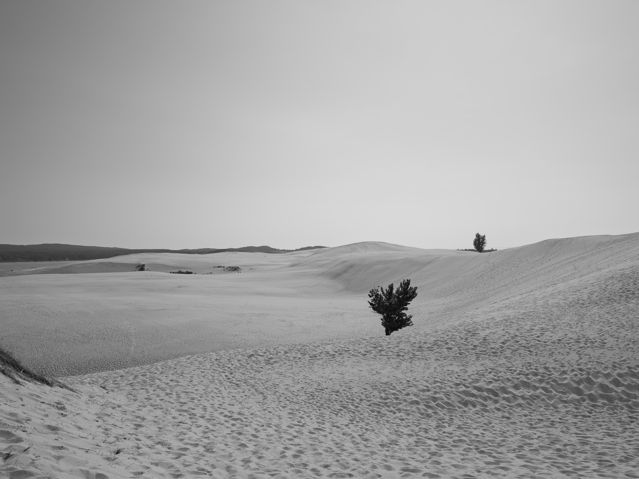
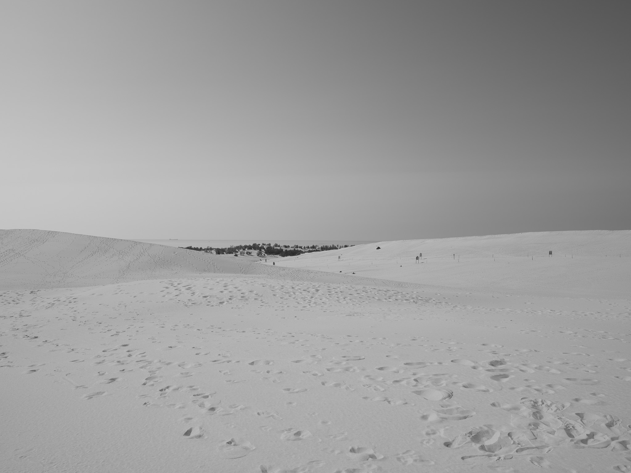
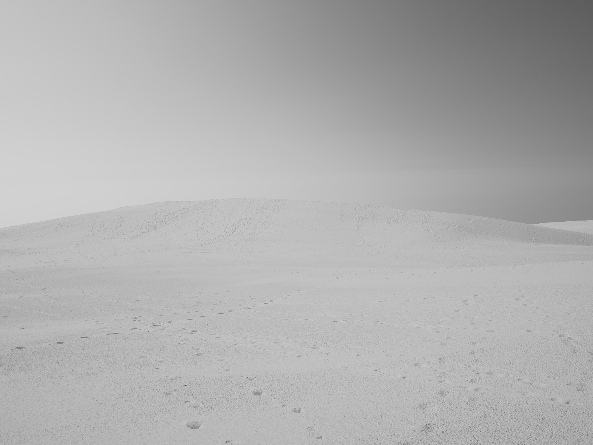
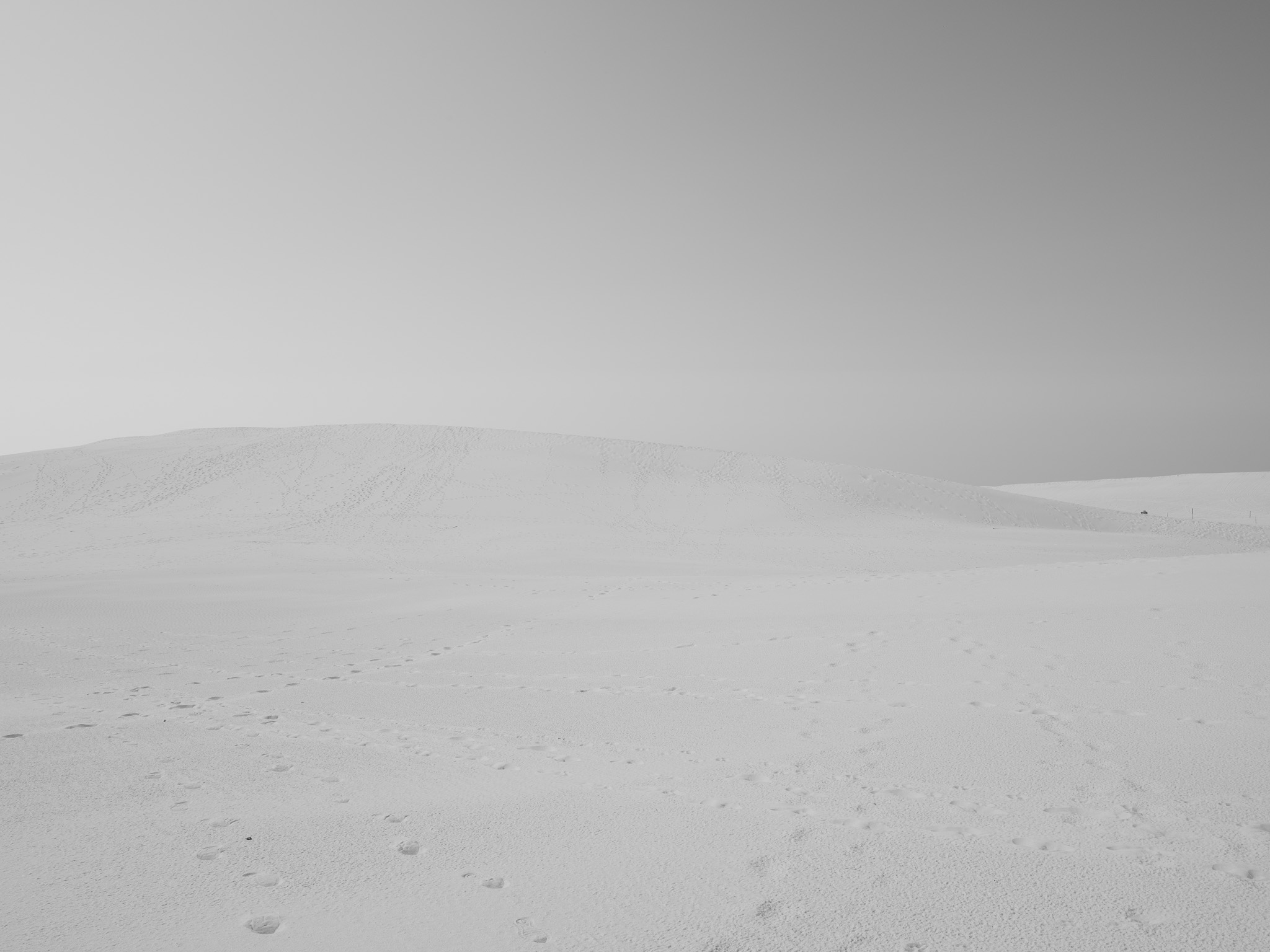
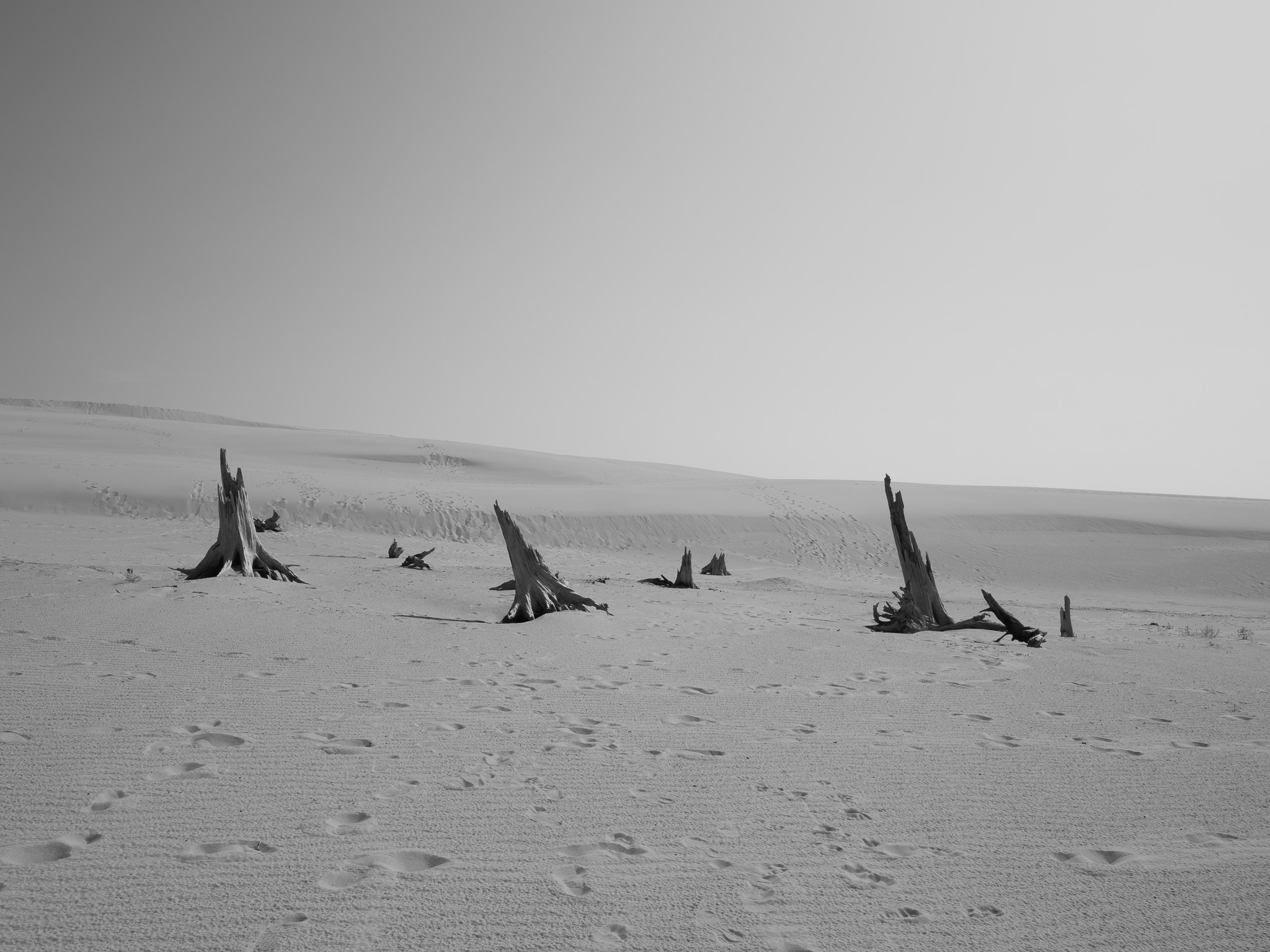
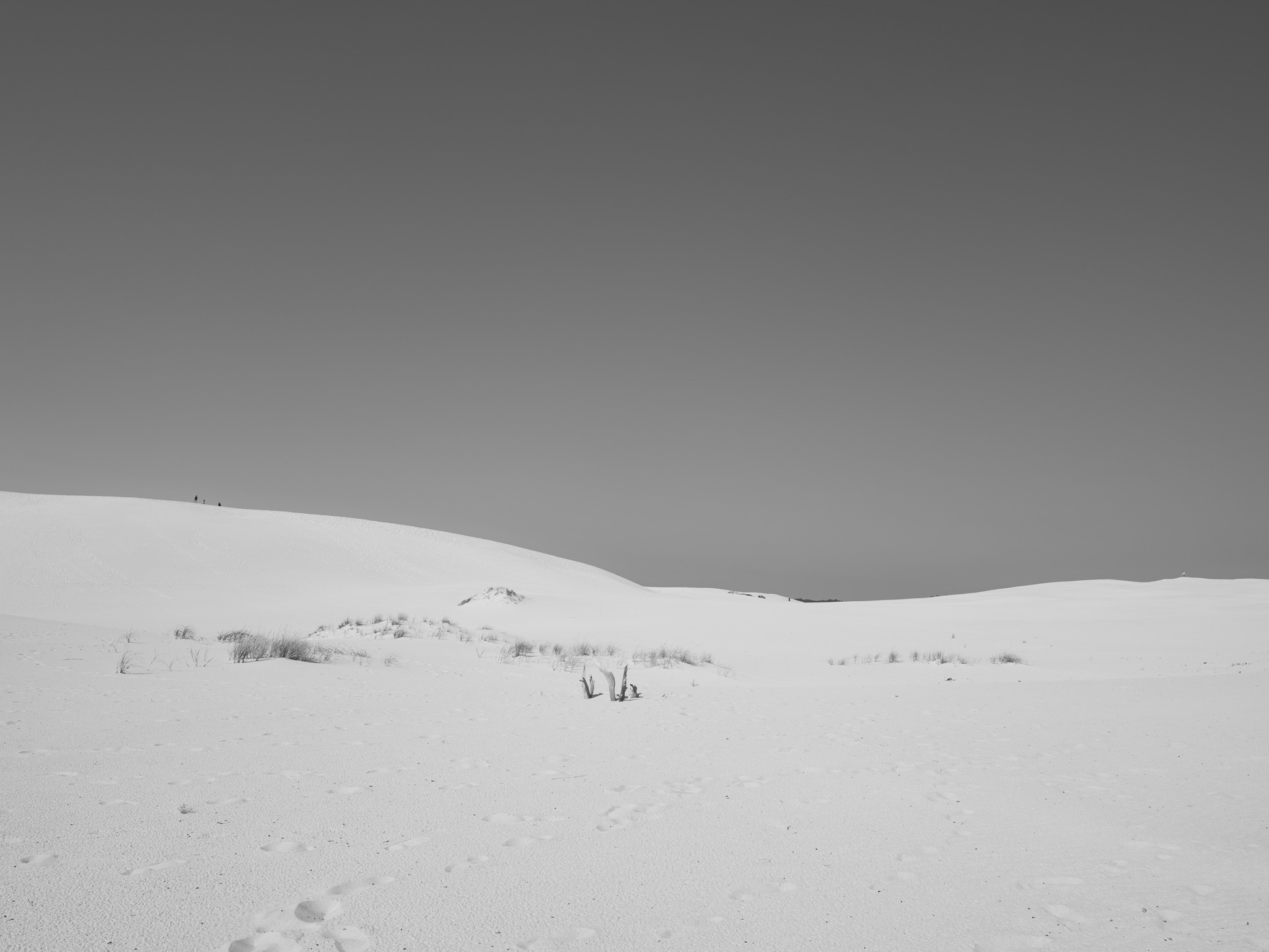
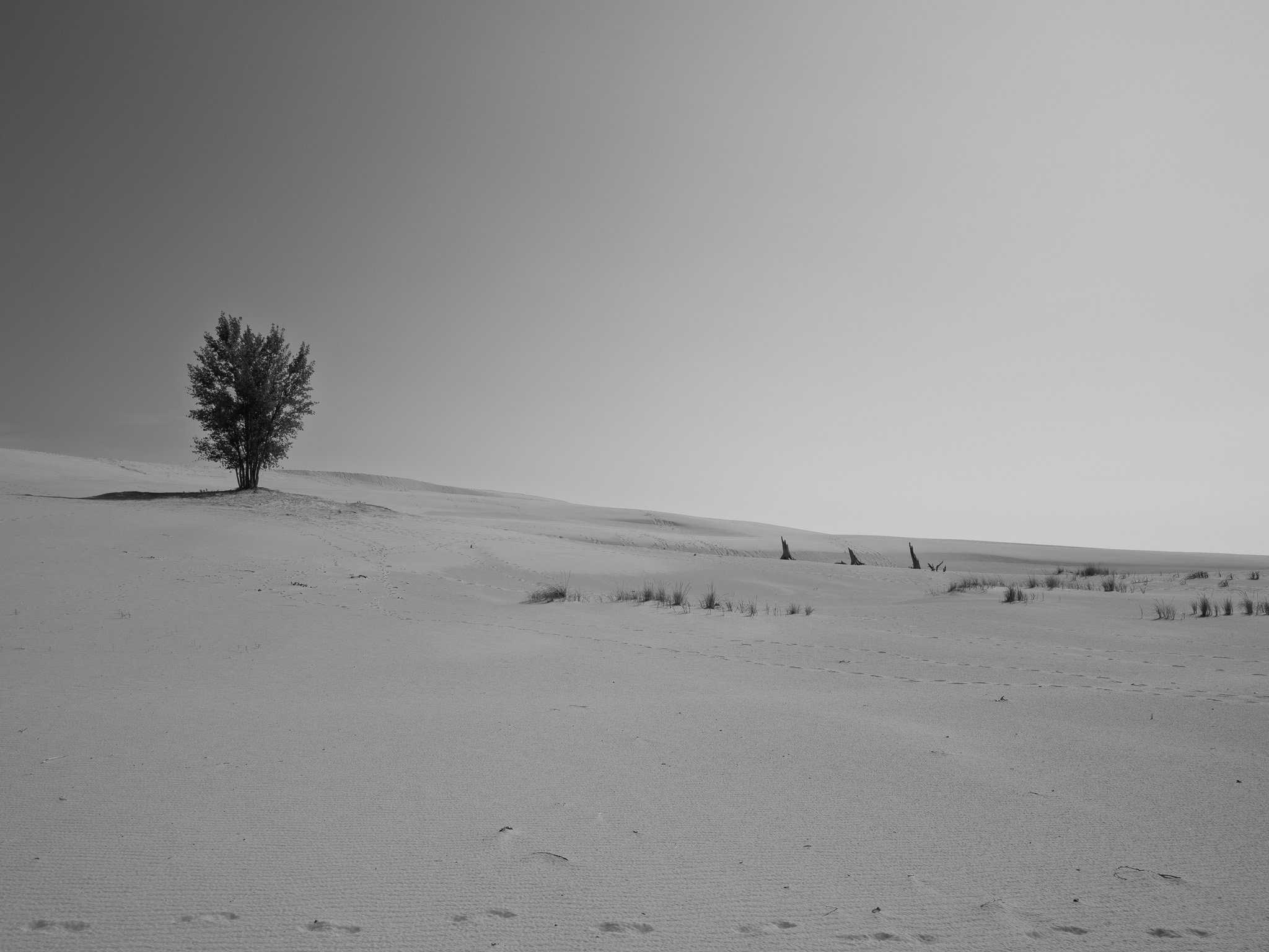
Holocene aeolian dune sand (dune building began about 5,500 calibrated years ago at the Nipissing high stand, roughly 75 percent of it between about 4,000 and 2,500 years ago) over Late Pleistocene glacial and glaciolacustrine sand deposited in the Lake Michigan basin (~14,000 years)
Epoch
Holocene (dune sand) over Late Pleistocene (Wisconsin glaciation)
Odawa (Ottawa) of the Grand River bands, with Ojibwe (Chippewa) and Bodéwadmi (Potawatomi) of the Council of Three Fires (Anishinaabe); Oceana County became a relocation ground rather than an ancestral homeland when the 1855 Treaty of Detroit set aside townships here for the Grand River Odawa, and Chief Cobmoosa led roughly 1,300 people from the lower Grand River valley to the Elbridge reservation east of these dunes by 1858; their descendants include the state-recognized Grand River Bands of Ottawa Indians and the federally recognized Little River Band of Ottawa Indians.
Displacement & Tenure
Cession 205: Treaty of Washington (March 28, 1836), by which the Ottawa and Chippewa ceded roughly 13.8 million acres of the northwestern Lower Peninsula and eastern Upper Peninsula, about a third of present Michigan, including the Oceana County lakeshore; the Treaty of Detroit (July 31, 1855) then set aside reservation townships in Oceana County for the Grand River bands and dissolved the collective Ottawa and Chippewa relationship into individual allotments, converting a promised communal land base into severable parcels.
Shadow History
Oceana County was where the federal government resettled the displaced Grand River Odawa and then presided over their second dispossession: the individual allotments created by the 1855 Treaty of Detroit passed out of Odawa ownership within a generation through tax forfeiture and sale to lumber interests, so that fewer than a handful of the county's more than 1,500 allotments were still held by tribal members by 1934. The same lumber economy that absorbed those lands built the fortune of Charles Mears, whose daughter Carrie donated the first parcel of the future state park in 1920.
Ecology
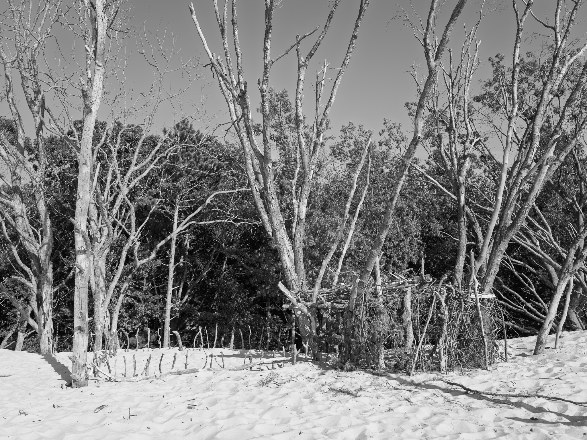
A transgressive Lake Michigan dune complex holding nearly 2,000 acres of open, wind-active sand, among the largest freshwater dune fields east of the Mississippi, with foredunes stabilized by marram grass, sand cherry, and dune willow grading inland to jack pine, red oak, and mixed hardwood on the fixed dunes and interdunal wetland swales between; federally threatened Pitcher's thistle (Cirsium pitcheri), a Great Lakes dune endemic, grows on the open dunes, and federally endangered piping plover (Charadrius melodus) nest on the Lake Michigan beach.
Hydrology
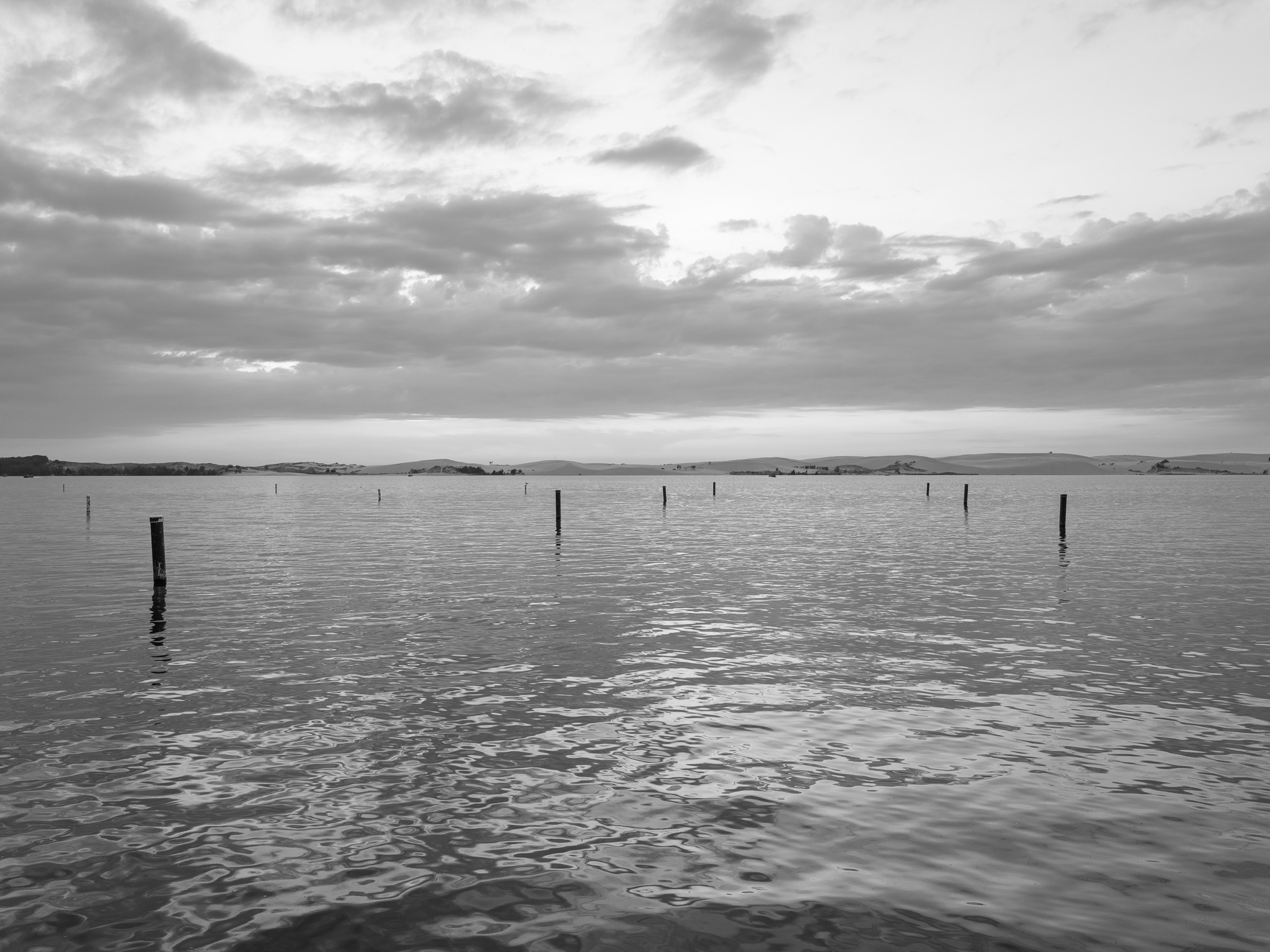
Borders Lake Michigan (Great Lakes and St. Lawrence basin) along nearly three miles of shoreline and wraps the west shore of Silver Lake, a roughly 690-acre interdunal lake dammed behind the migrating dunes about a mile inland; Silver Lake drains to Lake Michigan and lies within the 13,700-acre Silver Creek watershed, fed by Au Sable (Golden) Creek and Hunter Creek, entirely within Oceana County.