~450 Mya Upper Ordovician (Cincinnatian) Kope Formation, calcareous shale interbedded with thin fossiliferous limestone lenses bearing brachiopods, bryozoans, and trilobites from the shallow tropical sea that covered the region, exposed in the bluffs above the Ohio and Kentucky rivers; the park's ridgetops rise to about 705 feet over the buried preglacial Old Kentucky River channel, whose northeastward course past Carrollton was diverted to the present Ohio River valley by Pleistocene glaciation.
Epoch
Late Ordovician (Cincinnatian)
Kentucky was contested hunting territory rather than the permanent homeland of any single nation. Shawnee (Shawandasse Tula / Shawanwaki) ranged the Ohio Valley and guarded the Kentucky interior as a shared hunting ground, with their last Kentucky town, Eskippakithiki, abandoned by 1754; Myaamia (Miami) and Lenape (Delaware) villages sat just north across the Ohio and hunted south into this country, while Tsalagi (Cherokee) claimed the same central-Kentucky hunting grounds from the south. The mouth of the Kentucky River on the Ohio lay along the buffalo traces that Indigenous hunters and herds had cut across the region. Cherokee claims were ceded to the British Crown through the Treaty of Hard Labor (1768) and the Treaty of Lochaber (1770), the Haudenosaunee (Iroquois) surrendered their claim south of the Ohio at Fort Stanwix (1768), and Shawnee resistance was extinguished only after sustained war, through the Treaty of Greene Ville (August 3, 1795).
Displacement & Tenure
North-central Kentucky lies outside the federal-domain Royce cession system; no federal Royce cession applies. The Haudenosaunee (Iroquois) ceded their claim south of the Ohio at the Treaty of Fort Stanwix (November 1768); Cherokee ceded their Kentucky hunting claim through the Treaties of Hard Labor (1768) and Lochaber (1770); Henderson's Transylvania Purchase at Sycamore Shoals (March 1775) asserted a private Cherokee title that Virginia voided in 1778; Virginia opened the region to land warrants under the Virginia Land Act (1779). Revolutionary War veteran Percival Butler settled the ground now within the park in 1796, building a log house on land the family held and farmed; Carroll County was organized in 1838, and the state assembled the park in 1931 from part of the old William O. Butler family farm.
Shadow History
The resort park is laid over a slaveholding plantation whose enslaved dead lie unnamed on the grounds. The Butler family, whose Revolutionary and military prominence gave the park its name, worked the farm with enslaved labor across three generations; the 1859 Greek Revival Butler-Turpin house is preserved and toured as a state historic site, while an estimated three generations of enslaved men, women, and children are buried in a separate slave cemetery a short walk from the family cemetery, their names unrecorded. William O. Butler, the park's namesake, was himself a slaveholder. A century later the park's grounds, roads, stone overlook above the two rivers, and the dam impounding Butler Lake were built in the 1930s by Civilian Conservation Corps labor.
Ecology
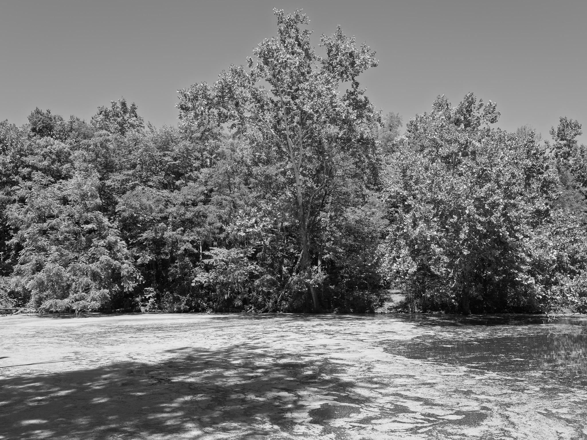
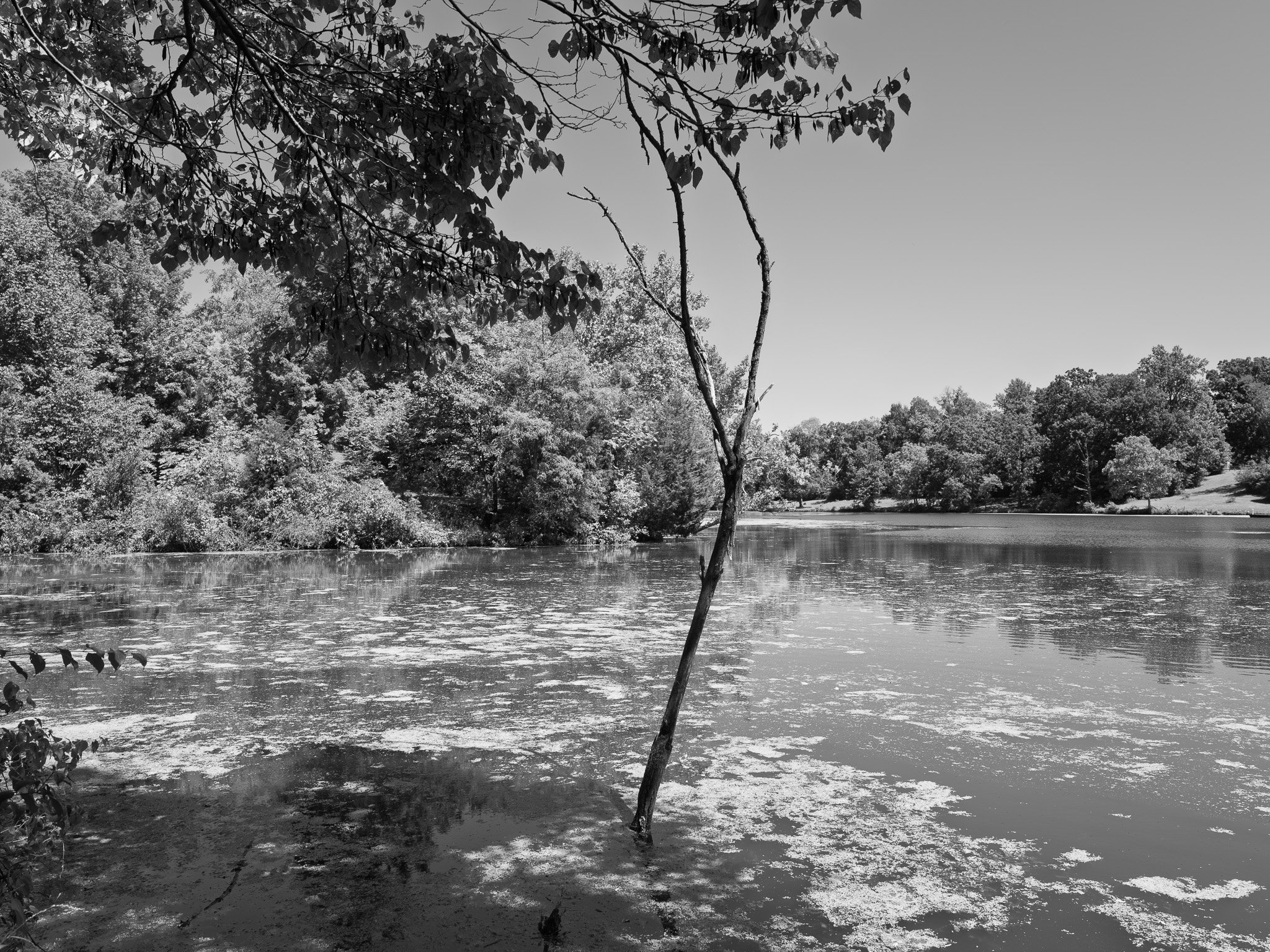
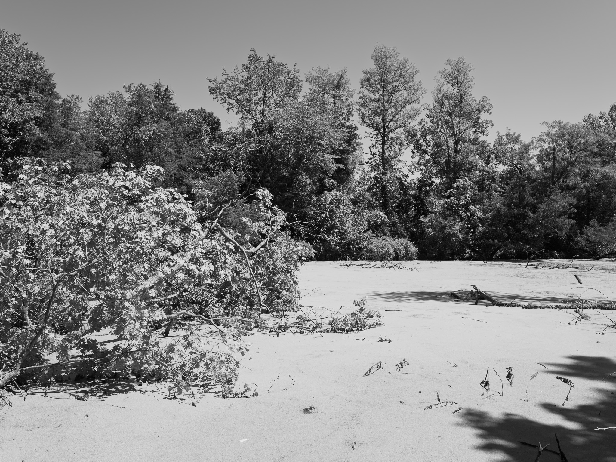
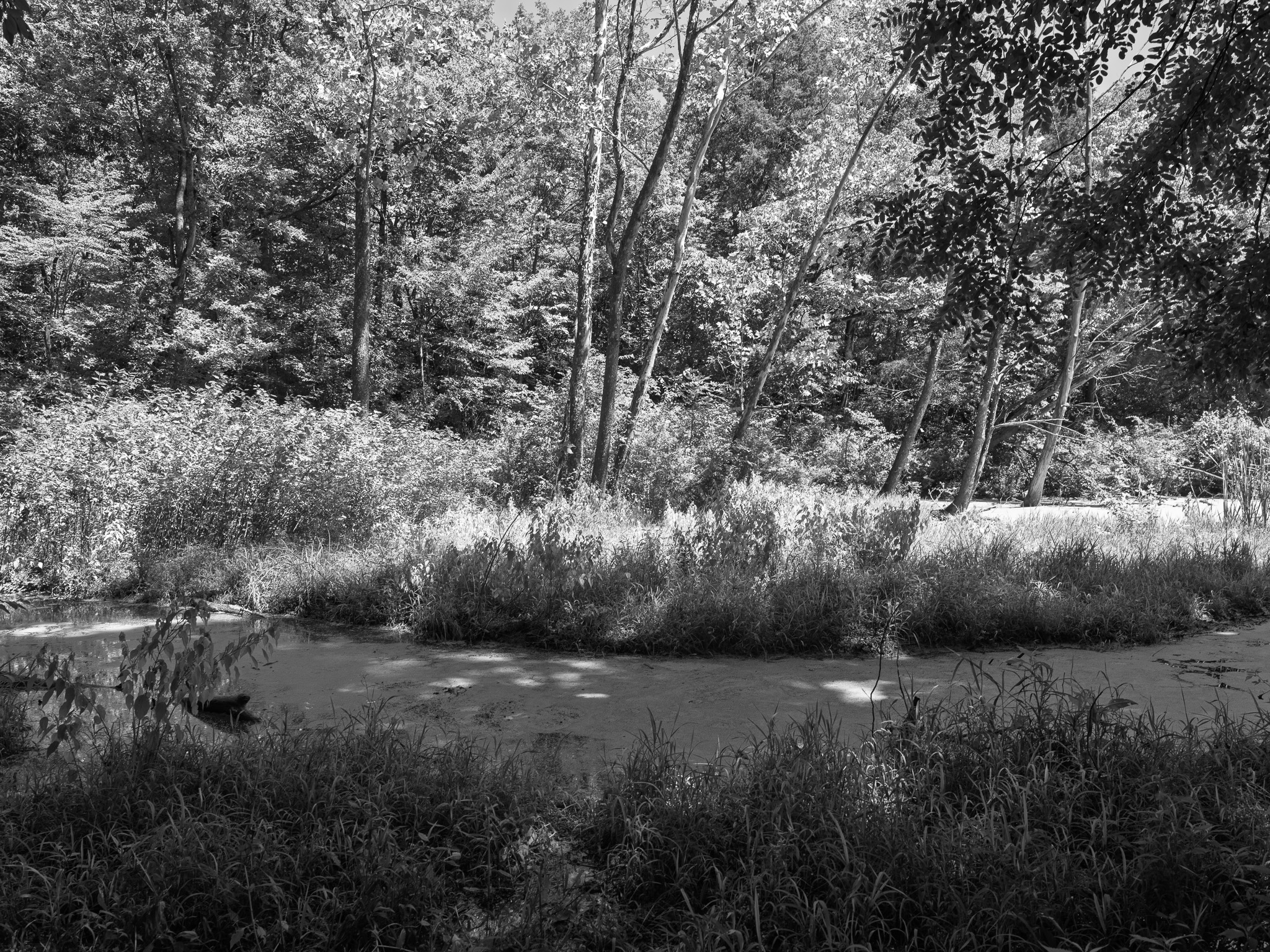
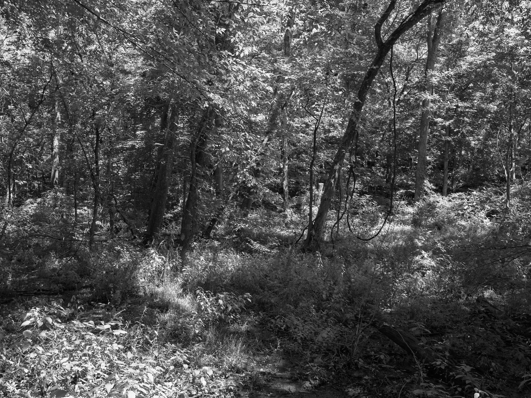
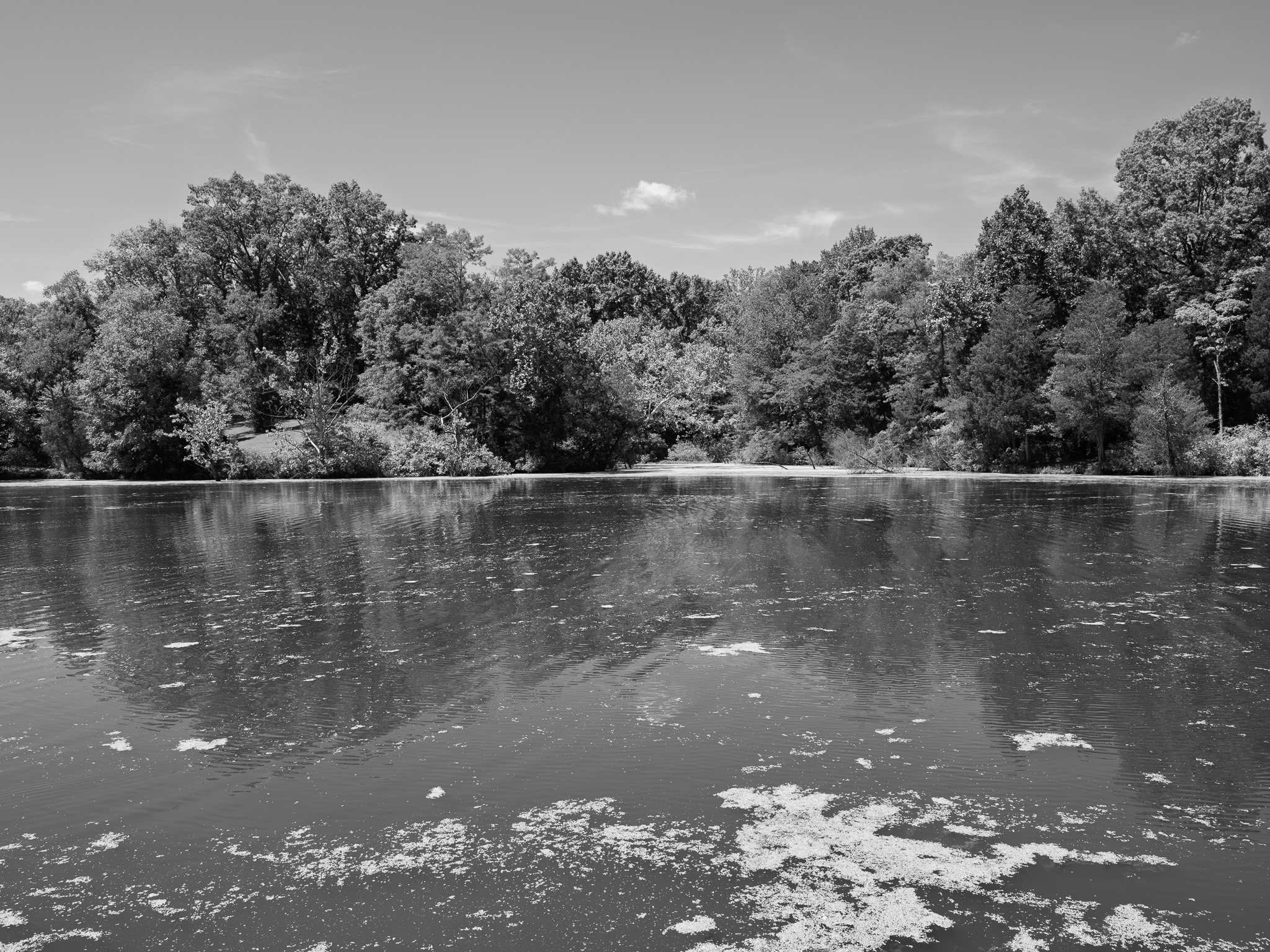
Upland mixed-mesophytic and oak-hickory forest over the dissected Ohio River bluffs, with large tulip poplar, hickory, and birch on the wooded slopes and wildflower meadows on the uplands; the 30-acre Butler Lake supports a warmwater fishery of largemouth bass, crappie, bluegill, and channel catfish, and the woods and shoreline hold great blue heron, northern mockingbird, tufted titmouse, American goldfinch, and other resident and migrant birds.
Hydrology
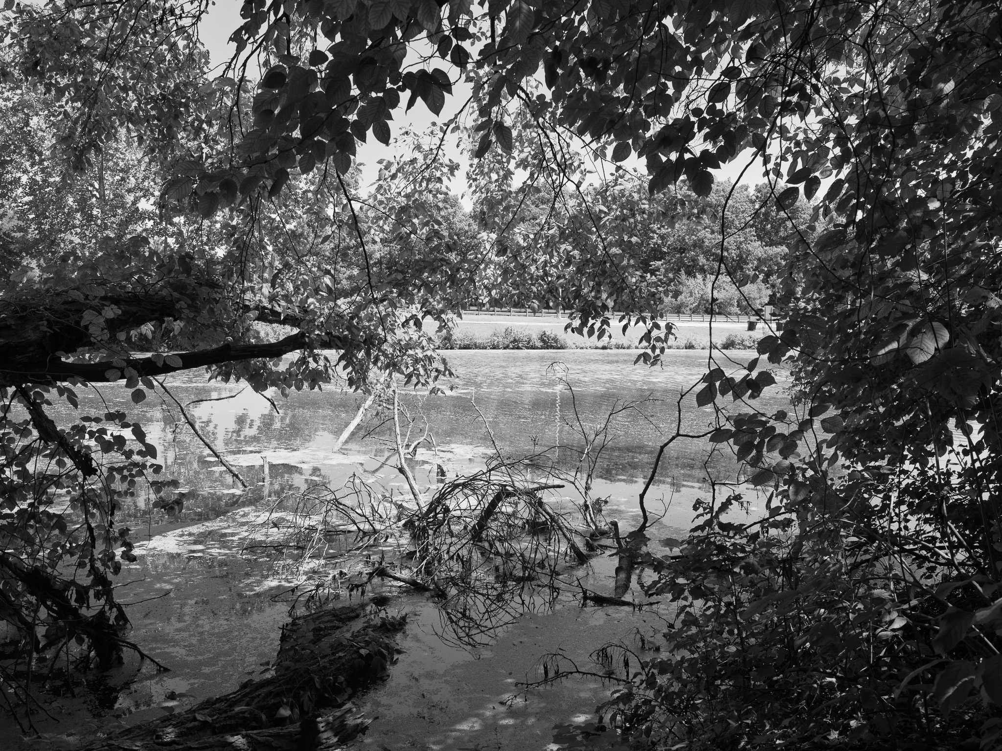
Occupies the bluffs at the confluence of the Kentucky River and the Ohio River, the only point in Kentucky offering a view of the two rivers' meeting; drains to the Ohio (Mississippi basin) through short ravine streams and holds the 30-acre Butler Lake, impounded within the park by a Civilian Conservation Corps dam in the 1930s.