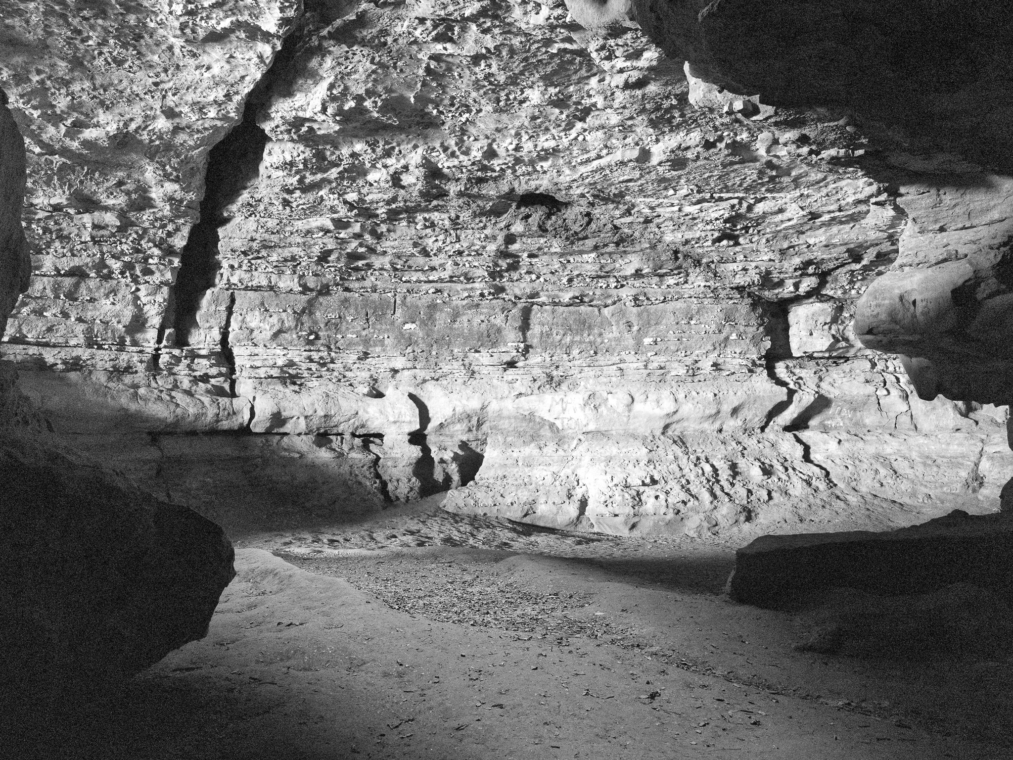
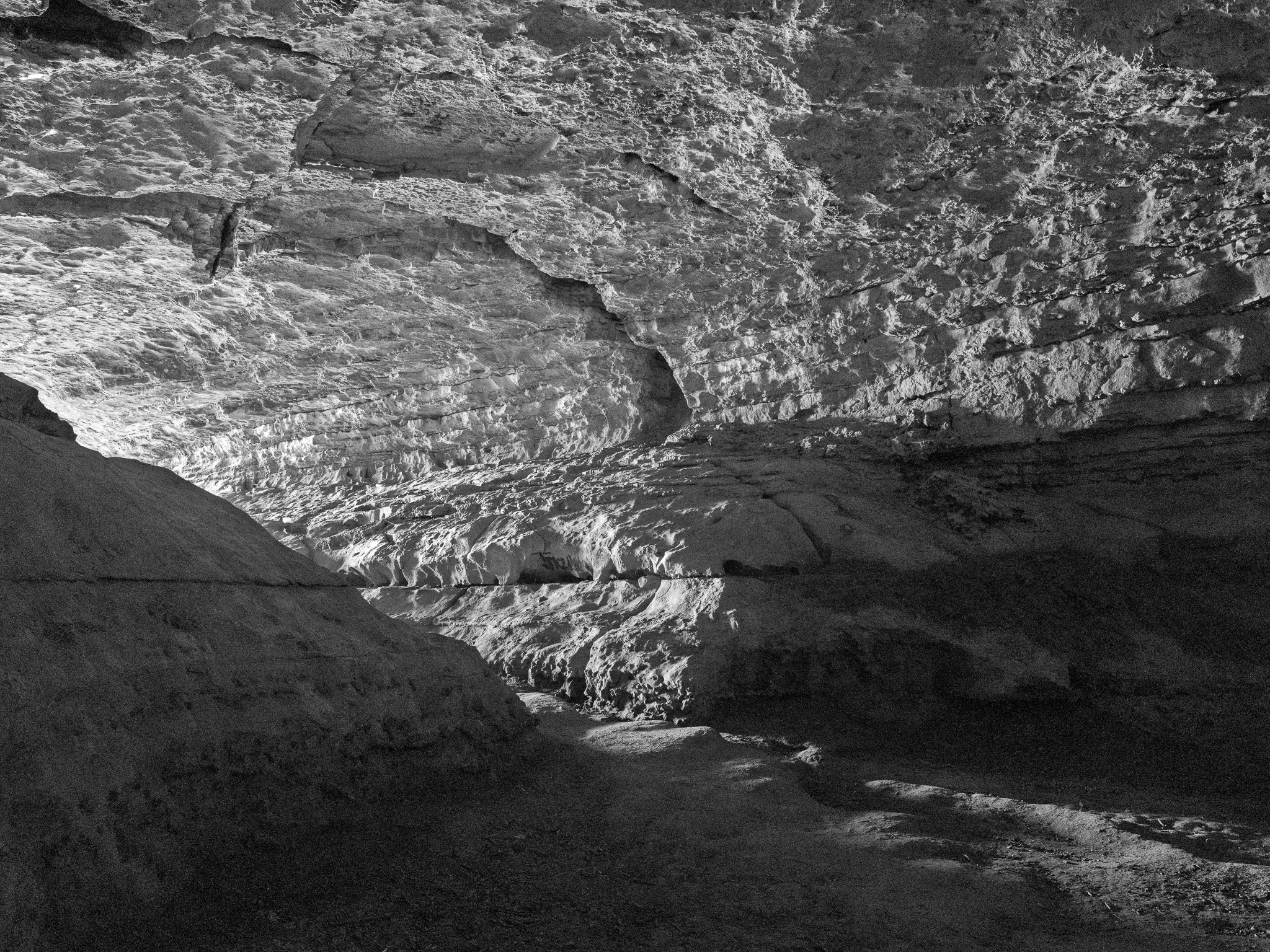
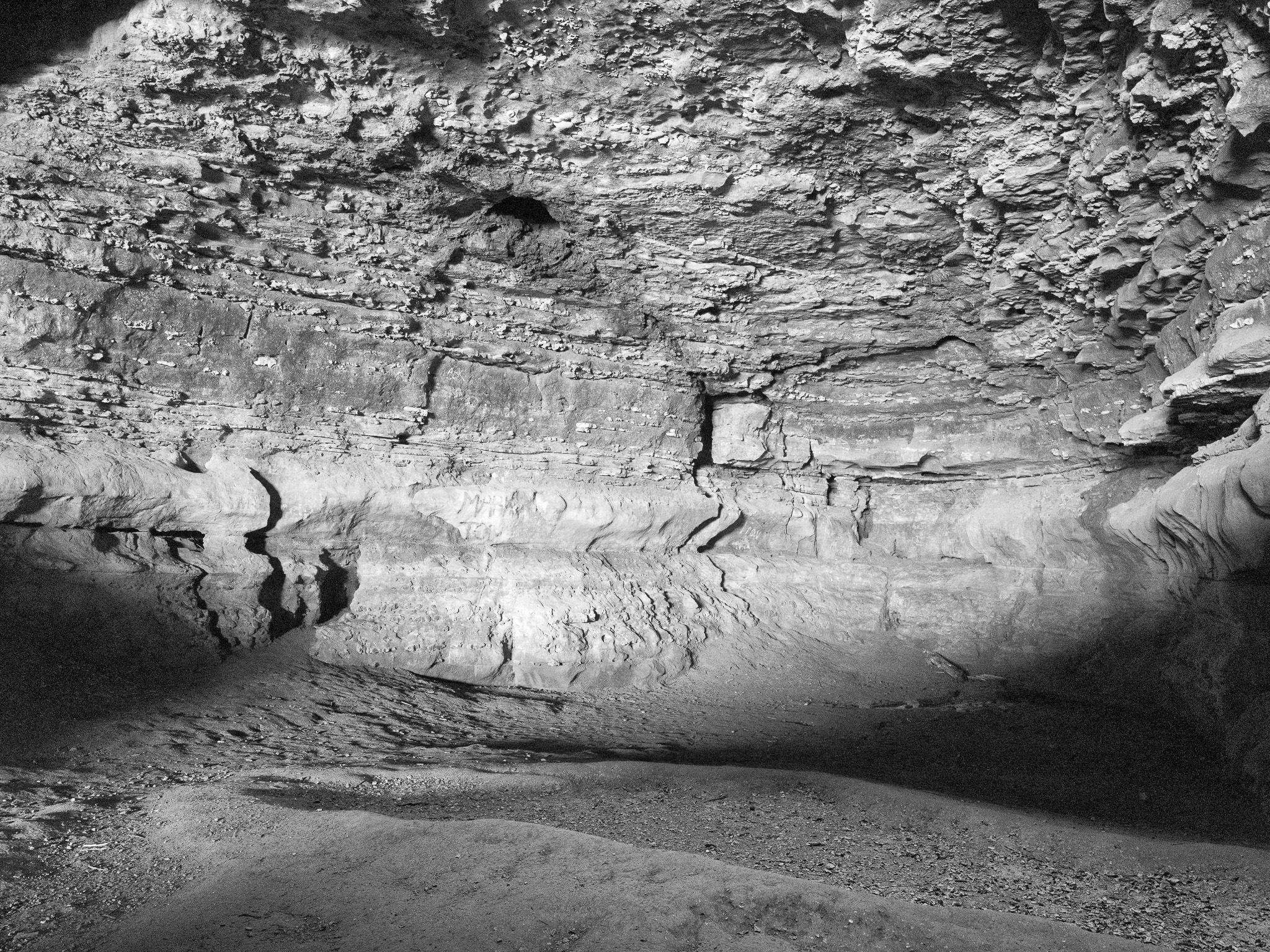
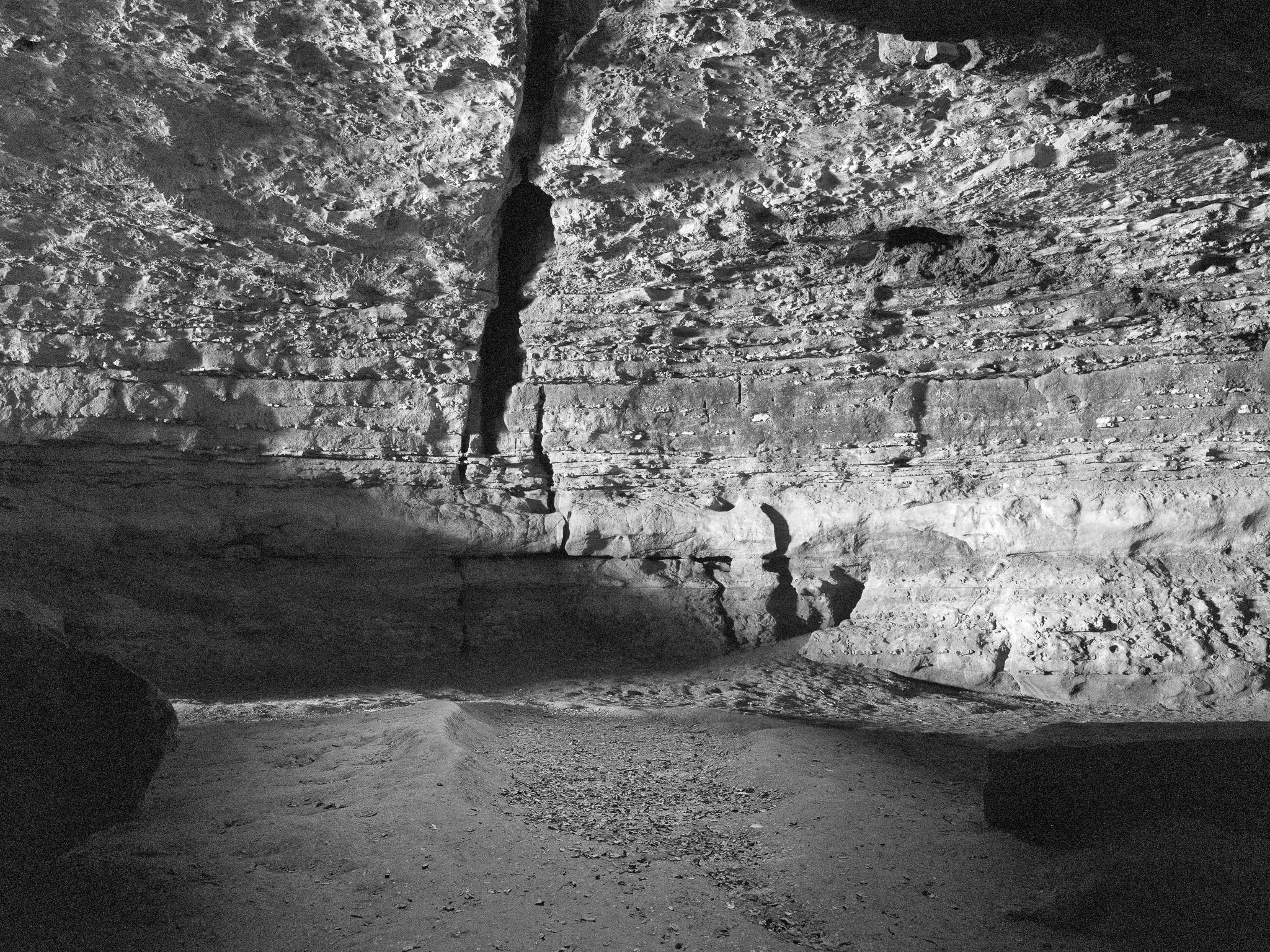
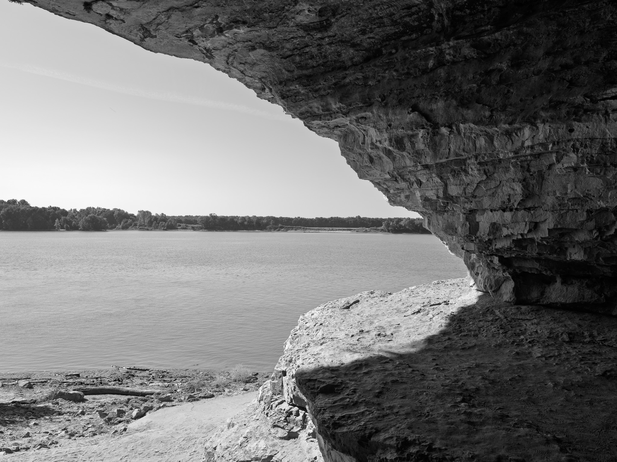
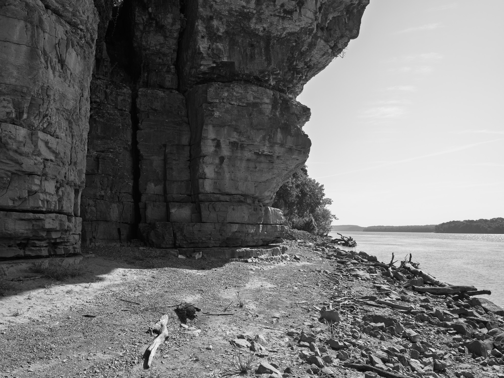
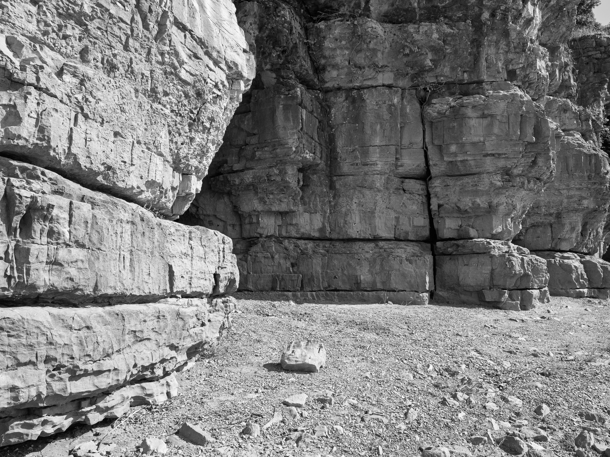
~335 Mya Mississippian (Meramecian) St. Louis Limestone, the cavern itself dissolved from the formation in the Ohio River bluff.
Epoch
Mississippian (Meramecian)
Kaskaskia (Illinois Confederacy) · Shawnee (Shawanwaki) · Kiikaapoi (Kickapoo); the Ohio River corridor a recognized travel and hunting landscape for Illinois Confederacy peoples, with a Shawnee village established near Shawneetown, 35 miles upriver, positioned by French traders to help control river traffic; Kaskaskia ceded the entire southeastern Illinois tract including this stretch of the Ohio via the Treaty of Vincennes 1803, with the confederated Illinois nations (Peoria, Kaskaskia, Michigamea, Tamaroa, Cahokia) ceding further territory by treaty in 1818; Shawnee removed from the region following the War of 1812.
Displacement & Tenure
Cession 48: Treaty with the Kaskaskia at Vincennes (1803); the Kaskaskia ceded the entire Ohio River frontage from the Ohio-Mississippi confluence upriver to the mouth of the Saline Creek, encompassing all of present Hardin County. Cession 96a: Treaty with the confederated Peoria, Kaskaskia, Michigamea, Tamaroa, and Cahokia (1818) ceded further Illinois Nation territory in the same region. Most Kaskaskia removed west of the Mississippi to Missouri and Arkansas during the War of 1812 era; the remaining Illinois remnant formally united with the Peoria by treaty on October 27 1832, receiving land on the Osage Reserve in Miami County, Kansas, and the merged Confederated Peoria, Kaskaskia, Wea, and Piankeshaw were later relocated to the Quapaw Agency in present Ottawa County, Oklahoma.
Shadow History
Cave-in-Rock was a station on the network historians call the Reverse Underground Railroad. James Ford, who ran Ford's Ferry on the Kentucky shore three miles upriver from 1823 until his death in 1833, led a gang based around the cave and worked with John Hart Crenshaw, the Equality, Illinois salt-works operator whose mansion, the Old Slave House, is documented to have held and sold kidnapped free Black Illinoisans into slavery in the South via this crossing. The area's popular reputation as a long-term hideout for outlaws Samuel Mason and the Harpe brothers is not supported by the historical record beyond brief stopovers, per the park's own official interpretation.
Ecology
Well-wooded bluffs and hills up to 60 feet above the Ohio River, characteristic of the dry-mesic upland oak-hickory forest of the Shawnee Hills bluff region.
Hydrology
Borders and is defined by the Ohio River, which formed the cave and the bluffs the park occupies.