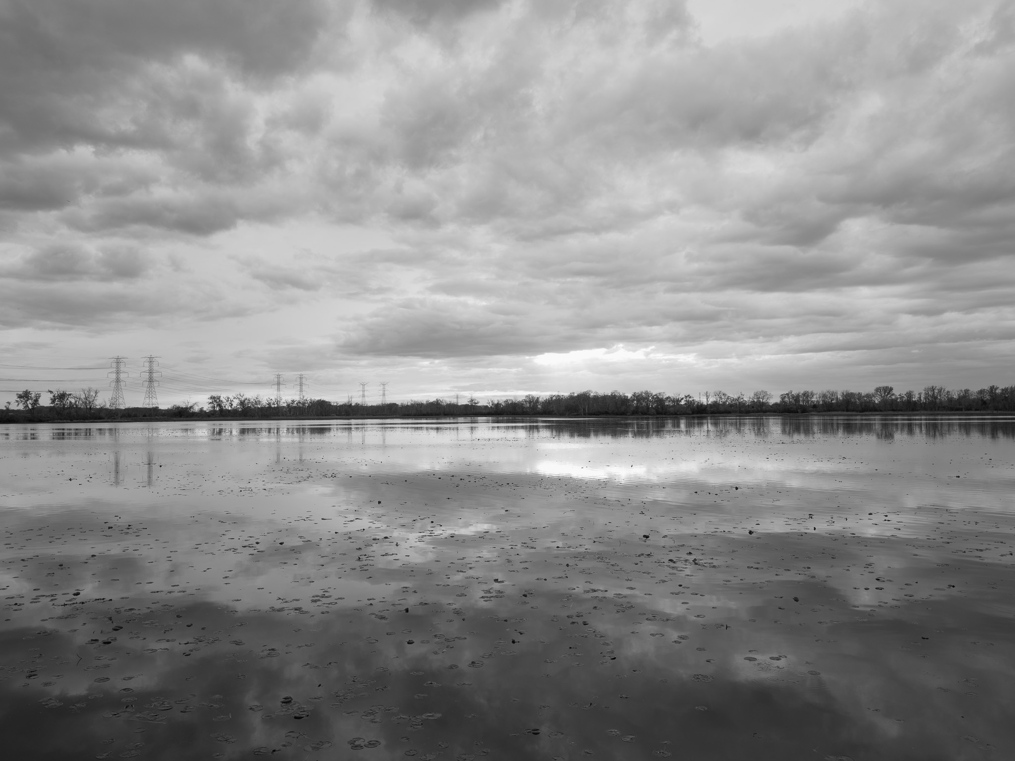
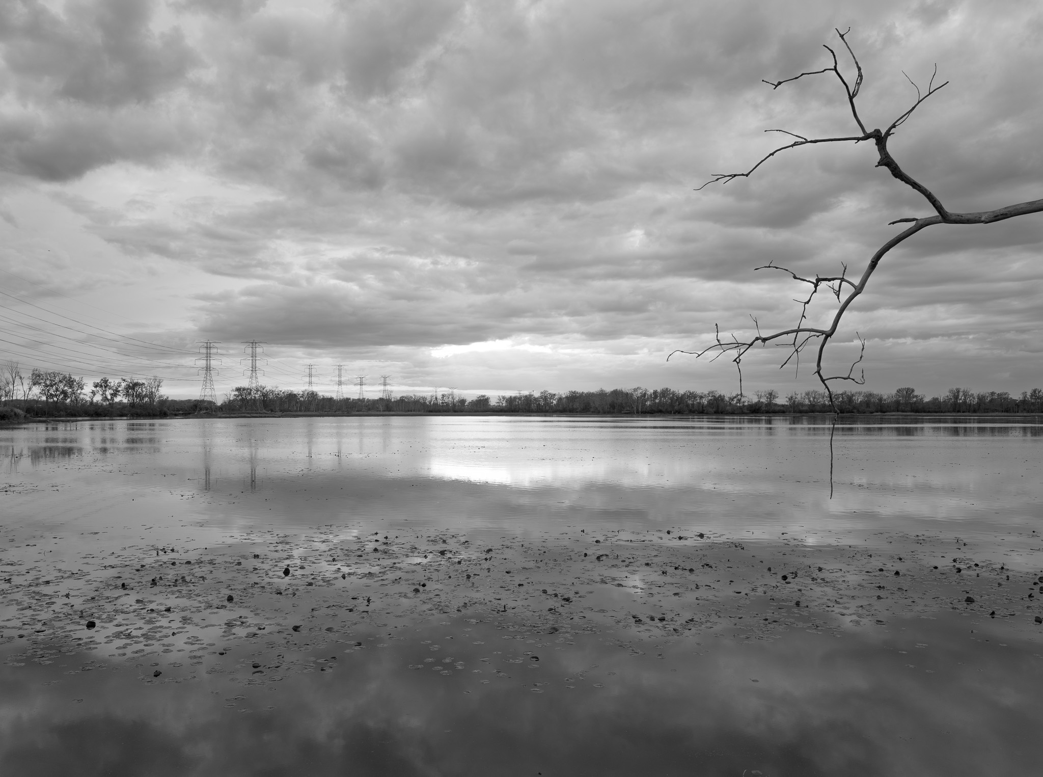
~385 Mya Middle Devonian dolomite and limestone (Detroit River Group); bedrock overlain by Pleistocene Wisconsin glacial clay, silt, and sand deposits.
Epoch
Middle Devonian (Eifelian).
Ottawa (Odawa/Anishinaabek), Potawatomi (Bodéwadmik), Wyandot (Wendat/Huron), and Ojibwe (Anishinaabek); Sandy Creek mouth and Lake Erie shore a key corridor in the Great Lakes Anishinaabe territory; Treaty of Detroit (November 17, 1807) ceded approximately 5.6 million acres of southeastern Michigan including Monroe County to the United States, signed by Ottawa, Chippewa, Wyandot, and Potawatomi; Potawatomi received $400 annual annuity and separate payments for communities on the River Raisin and Lake Erie tributaries; Odawa forced removal to Iowa then Kansas 1830s-1840s, more than 300 of approximately 600 Odawa dying within two years of resettlement; Wyandot removed to Kansas via treaty 1842-1843.
Displacement & Tenure
Ceded via Treaty of Detroit (November 17, 1807); Monroe County organized 1817; land entered private agricultural ownership through 19th century; park proposed by Monroe citizens and dedicated as Sterling State Park in 1934 as a 115-acre preserve north of the River Raisin mouth, named for William C. Sterling (d. 1924), Monroe County civic leader; expanded over decades to current 1,300 acres; incorporated as southern anchor of Detroit River International Wildlife Refuge (USFWS) in 2001, enabling a $12 million federal-state restoration partnership.
Shadow History
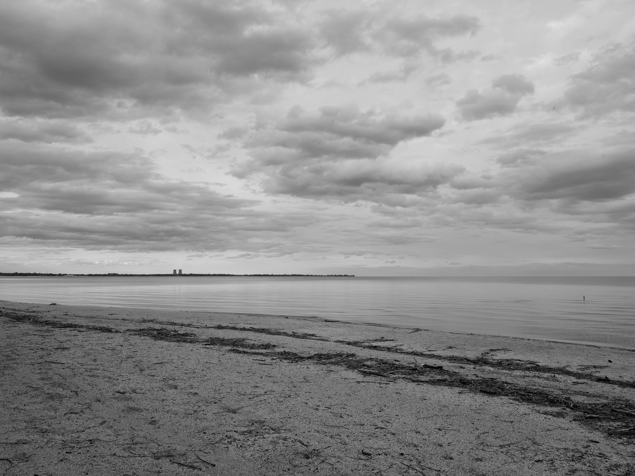
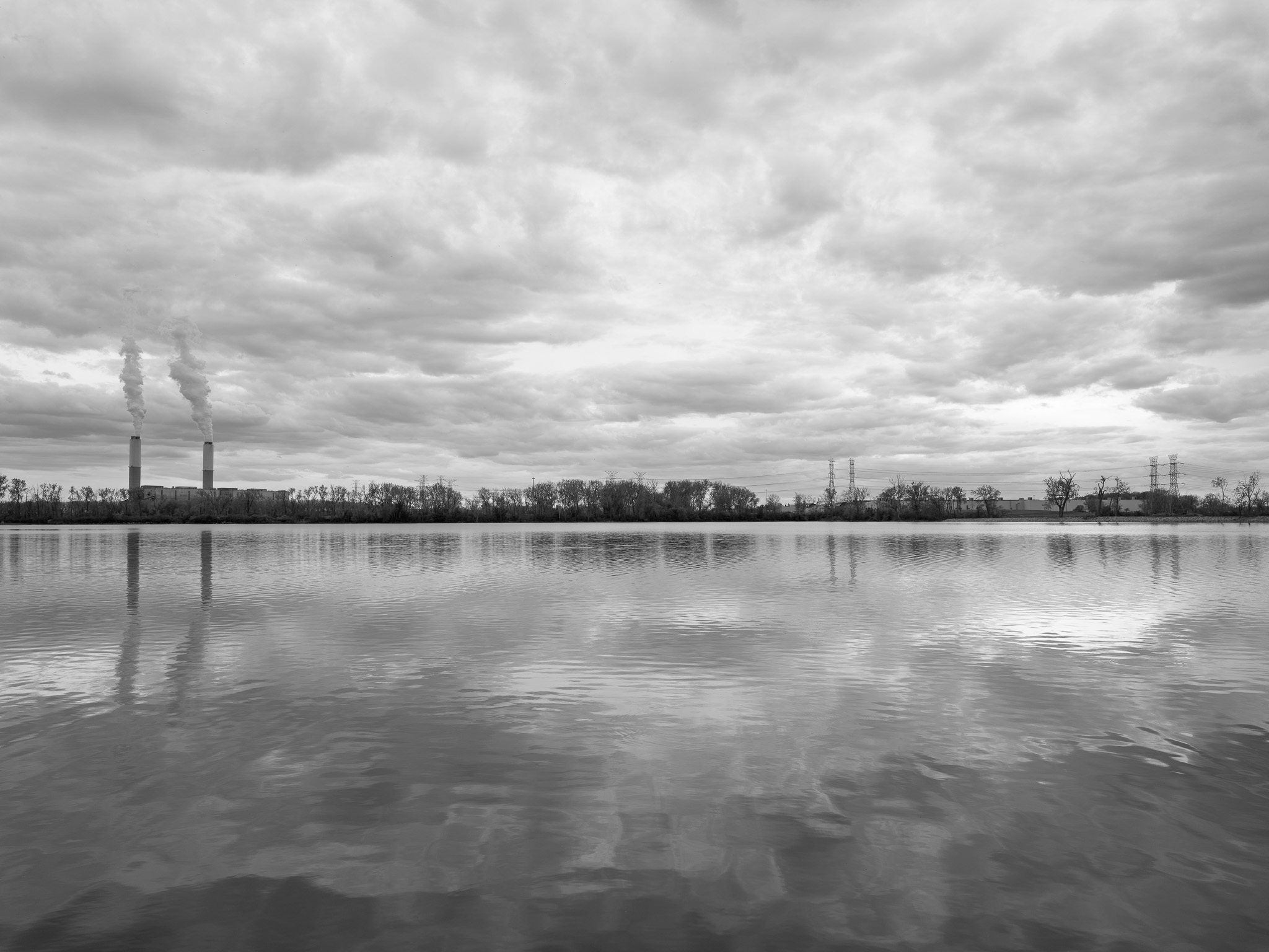
Monroe Power Plant (DTE Energy, commissioned 1970-1974, four coal-fired units, ~3,300 MW), located approximately 2 miles south of the park on Lake Erie, withdraws approximately 600 million gallons per day via once-through cooling causing large-scale fish larval entrainment and impingement; produces more than 800,000 tons per year of coal combustion residuals containing arsenic, mercury, lead, and selenium; 2025 data identified Monroe as the highest-discharging U.S. power plant for arsenic; EPA issued Notice of Violation June 2010; DOJ filed civil enforcement action 2013 over unpermitted Unit 2 modifications; River Raisin designated a TMDL-impaired waterbody due to agricultural runoff, failing Home Sewage Treatment Systems, and elevated E. coli concentrations; piping plover breeding absent from Lake Erie from 1977 until 2017 re-colonization, in part due to regional shoreline disturbance; 106,000 cubic yards of PCB-contaminated sediment dredged from the River Raisin mouth (2012-2013) permanently disposed in a Confined Disposal Facility within park boundaries.
Ecology
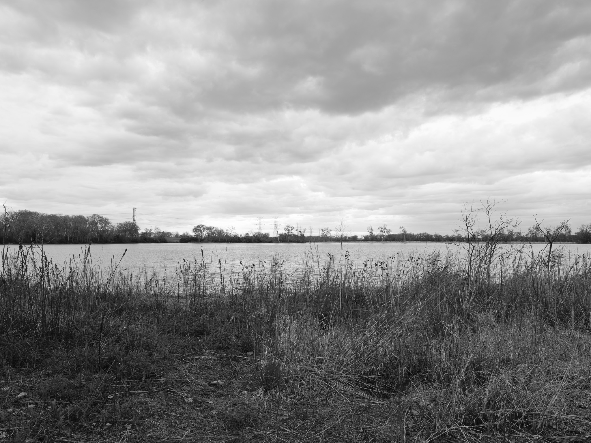
Great Lakes emergent and submergent marsh, restored lake plain prairie, and Lake Erie sandy beach habitat; dominant vegetation includes narrow-leaved cattail (Typha angustifolia), arrowhead (Sagittaria latifolia), and pondweeds in four managed lagoons; restored prairie community established on former agricultural land; American lotus (Nelumbo lutea) found in selected Lake Erie embayments; common reed (Phragmites australis) actively managed as invasive species; only Michigan state park on Lake Erie.
Hydrology
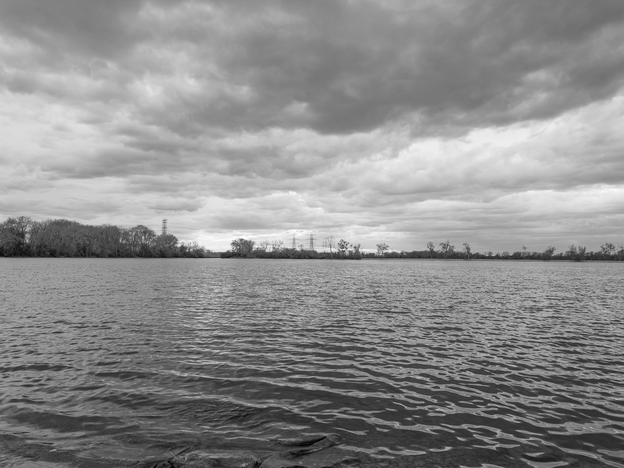
Lake Erie shoreline (southeastern Michigan); Sandy Creek (18.5-mile Lake Erie tributary, rises London Township, Monroe County, drains to Lake Erie at park entrance in Frenchtown Charter Township); River Raisin (135-mile Lake Erie tributary, 1,072 sq mi drainage basin) enters Lake Erie approximately 3 miles north at Monroe; four man-made lagoons within park provide sheltered aquatic habitat.