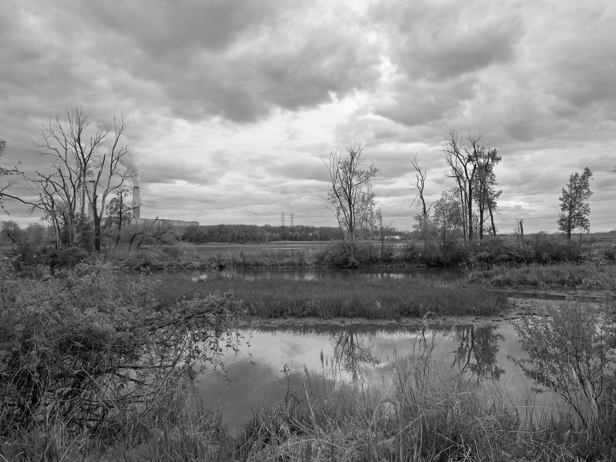
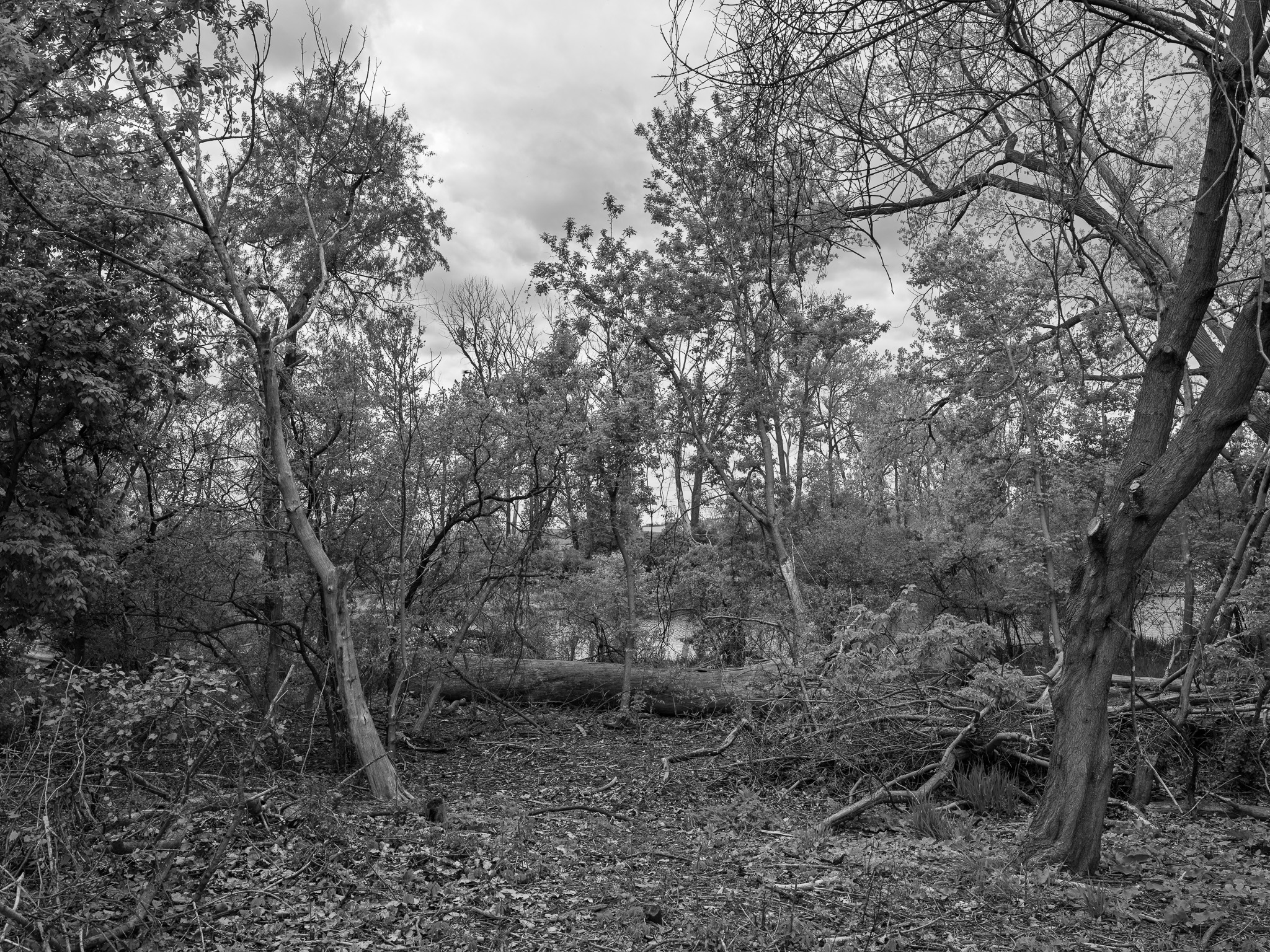
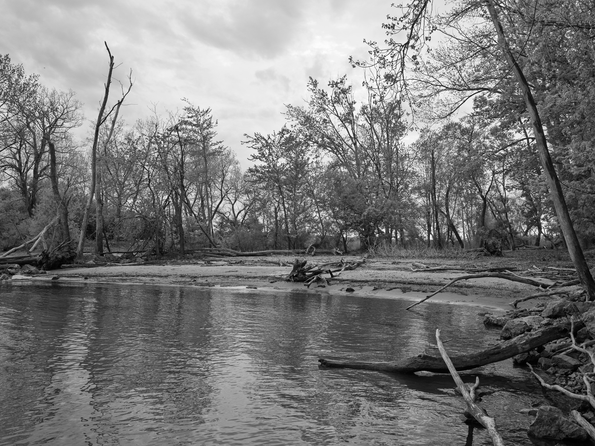
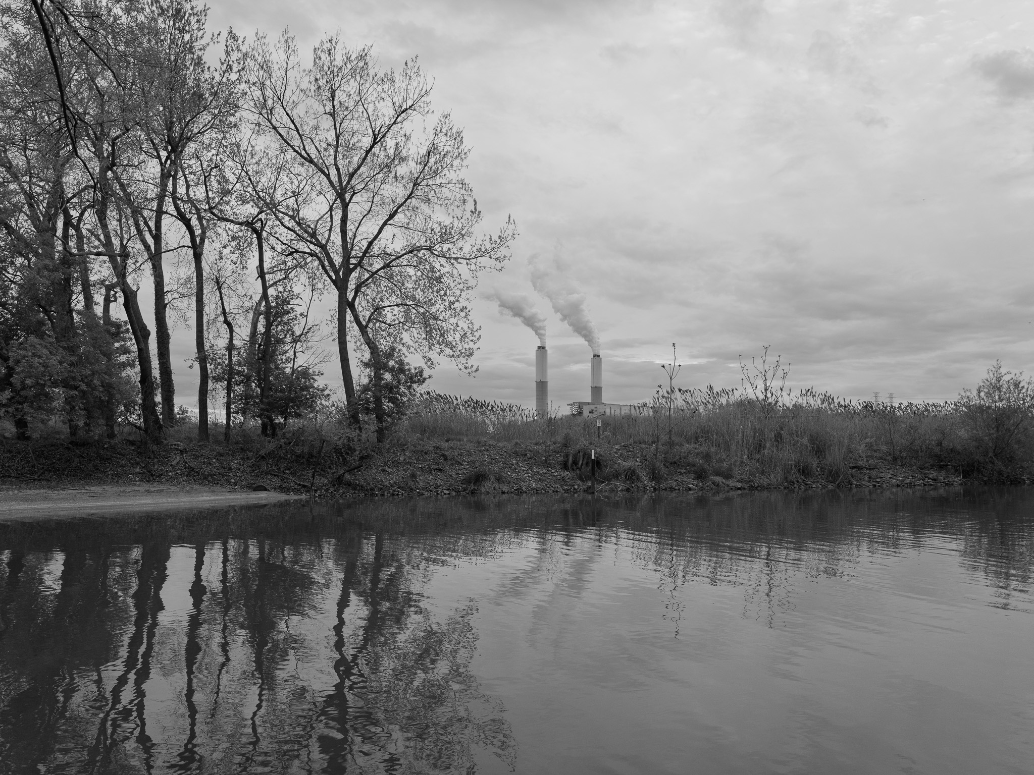
~385 Mya Middle Devonian dolomite and limestone (Detroit River Group); bedrock overlain by Pleistocene Wisconsin glacial clay, silt, and lacustrine deposits; site occupies the western Lake Erie lake plain at the mouth of the River Raisin.
Epoch
Middle Devonian (Eifelian).
Ottawa (Odawa/Anishinaabek), Potawatomi (Bodéwadmik), Wyandot (Wendat/Huron), and Ojibwe (Anishinaabek); River Raisin mouth and western Lake Erie shore a principal corridor in the Great Lakes Anishinaabe territory; Potawatomi established trade relations with French settlers at Frenchtown c. 1780; Potawatomi warriors allied with British and Canadian forces at the Battle of Frenchtown (January 1813); Treaty of Detroit (November 17, 1807) ceded ~5.6 million acres of southeastern Michigan including Monroe County, signed by Ottawa, Chippewa, Wyandot, and Potawatomi; Potawatomi removed via Treaty of Chicago (1833) and forced relocation 1838-1840 (Potawatomi Trail of Death); Wyandot ceded remaining Michigan lands via treaty 1842, removed to Kansas 1843.
Displacement & Tenure
Ceded via Treaty of Detroit (November 17, 1807); Frenchtown established c. 1780 at the River Raisin mouth by French Canadian settlers under ribbon farm land grants; following U.S. re-occupation of Michigan Territory after the War of 1812, French land claims regularized under U.S. land law; Monroe County organized 1817; 19th-century industrial development included paper mills, foundries, and automotive parts manufacturing along the lower River Raisin; Ford River Raisin Warehouse site (3200 East Elm Avenue) operated successively as the Newton Steel plant from the 1920s, an ALCOA WWII munitions facility (1943-1947), Kelsey-Hayes automotive wheel plant, and Ford Motor Company property (acquired 1949); Ford and Automotive Components Holdings LLC (ACH) managed adjacent coastal wetland under cooperative agreement with USFWS from 2005; Ford and ACH donated 242-acre Ford Marsh Unit to USFWS Detroit River International Wildlife Refuge in 2010; Eagle Island Marsh Unit (243 acres) brought under DRIWR cooperative management 2005.
Shadow History
The River Raisin mouth and adjacent wetland corridor is the site of the Battle of Frenchtown (January 18 and 22, 1813), the worst American defeat of the War of 1812; of approximately 934 American soldiers engaged in the Second Battle of Frenchtown, only 33 escaped; following the January 22 battle, between 30 and 100 wounded American prisoners unable to travel were killed by Native warriors while under British guard in an event known as the River Raisin Massacre; the political aftermath was weaponized to justify Indian Removal, accelerating the forced relocation of Potawatomi, Wyandot, Ottawa, and Ojibwe from the Great Lakes; River Raisin National Battlefield Park (NPS) preserves the primary battle site approximately 1.5 miles north; River Raisin designated a Great Lakes Area of Concern (AOC) by U.S. EPA and IJC due to PCB contamination from a century of industrial discharges from paper mills, foundries, and automotive manufacturing; 2012-2013 Great Lakes Legacy Act remediation project removed 106,000 cubic yards of PCB-contaminated sediment from the river mouth and turning basin in a $44.2 million cost-shared project between EPA, Michigan EGLE, and Ford Motor Company; contaminated dredge material permanently disposed in a Confined Disposal Facility within Sterling State Park; Ford River Raisin Warehouse (3200 East Elm Avenue, Monroe), immediately adjacent to the river, operated as the Newton Steel plant from the 1920s, an ALCOA WWII munitions facility (1943-1947), and a Kelsey-Hayes wheel plant before Ford acquisition in 1949; PFAS contamination discovered in monitoring wells at the Ford warehouse site in February 2019, linked to historical chrome plating operations, with Michigan PFAS Action Response Team (MPART) managing ongoing migration risk to the River Raisin; Monroe Power Plant (DTE Energy, less than a mile south across the River Raisin mouth) releases more arsenic into Lake Erie than any other U.S. coal-fired plant and produced more than half of Michigan's coal combustion residuals; Ford Motor Company's 2010 wetland donation borders the contaminated Ford warehouse site; River Raisin watershed is 92% agricultural land use with 3,000 miles of man-made drainage infrastructure, having lost the vast majority of historic wetland cover to 19th-century ditching.
Ecology
Coastal Great Lakes emergent and submergent marsh at the River Raisin mouth; American lotus (Nelumbo lutea, Michigan state-threatened, Michigan's official clean waterways symbol) prominent in open water; swamp rose-mallow (Hibiscus moscheutos) in marsh margins; habitat supports bald eagle, osprey, peregrine falcon, and diverse waterfowl; lake sturgeon (Acipenser fulvescens), walleye, and burrowing mayfly documented as water quality improves following AOC remediation; 300+ bird species recorded across the DRIWR corridor.
Hydrology
River Raisin (135-mile Lake Erie tributary, 1,072 sq mi drainage basin, 92% agricultural land use) enters Lake Erie at the western boundary of the site; Clearwater Drain runs between Ford Marsh Unit and Sterling State Park; Sandy Creek (18.5-mile Lake Erie tributary) enters the lake approximately 2 miles south; western Lake Erie basin (shallowest, warmest, most productive of the Great Lakes).