~425 Mya Silurian dolomite
Epoch
Late Silurian (Wenlock-Ludlow)
Ho-Chunk (Hochungra) and Sauk (Ozaakiiwaki) held the Mississippi-Rock River corridor of northwestern Illinois; Meskwaki (Meshkwahkihaki) allied with the Sauk and claimed the eastern Iowa and western Illinois strip from roughly 1722; Woodland and Hopewell cultures documented in rock shelters and burial mounds throughout Carroll County; Apple River Fort, 15 miles from the park, was attacked by Black Hawk (Ma-ka-tai-me-she-kia-kiak) and approximately 200 warriors on June 24, 1832, during the Black Hawk War; Ho-Chunk ceded their northwestern Illinois lands by Treaty with the Winnebago (September 15, 1832, Fort Armstrong) and were removed to Iowa; Sauk and Meskwaki ceded all lands east of the Mississippi by Treaty with the Sauk and Foxes (September 21, 1832, Fort Armstrong) following their defeat in the Black Hawk War; both nations relocated to Iowa under federal removal policy
Displacement & Tenure
Treaty with the Winnebago (September 15, 1832): Ho-Chunk ceded northwestern Illinois lands and were removed to Iowa; Treaty with the Sauk and Foxes (September 21, 1832): Sauk and Meskwaki ceded all Illinois lands east of the Mississippi following the Black Hawk War (this Illinois east-bank tract falls within Royce Cession 50, the immense 1804 Treaty of St. Louis cession spanning northwestern Illinois, southwestern Wisconsin, and northeastern Missouri, re-confirmed under duress after the War of 1812; Cession 175 refers instead to the Iowa west-bank Black Hawk Purchase strip); Carroll County lands entered the federal public domain in the mid-1830s under the Public Land Survey System; Illinois acquired park lands progressively through the 20th century
Shadow History
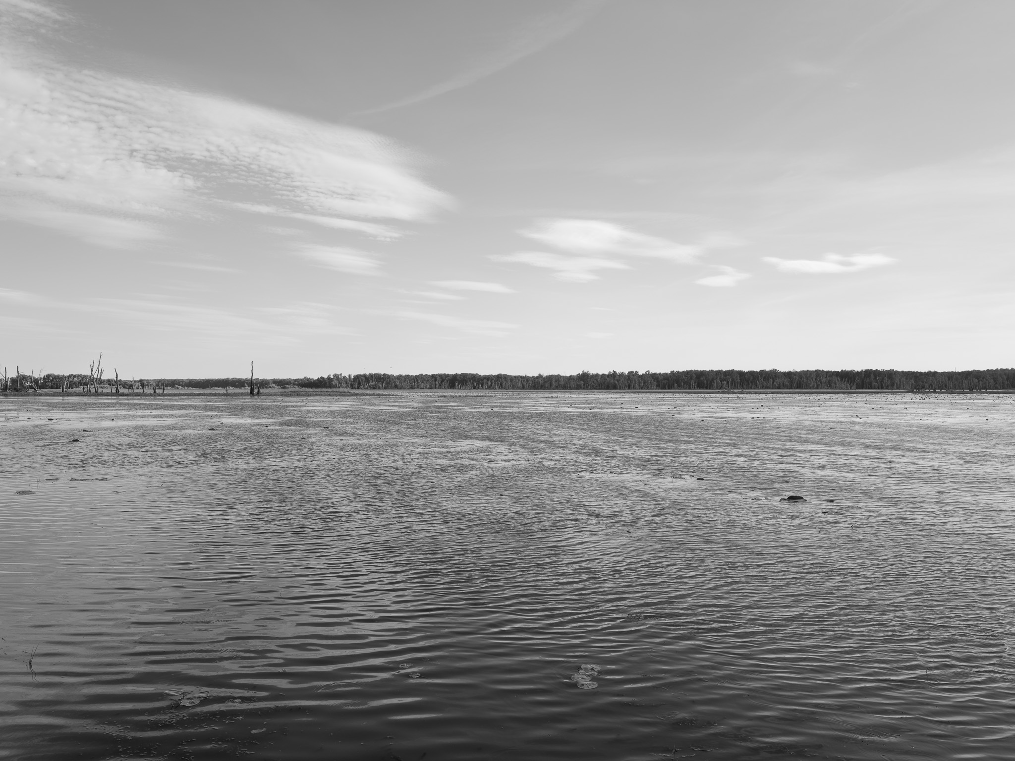
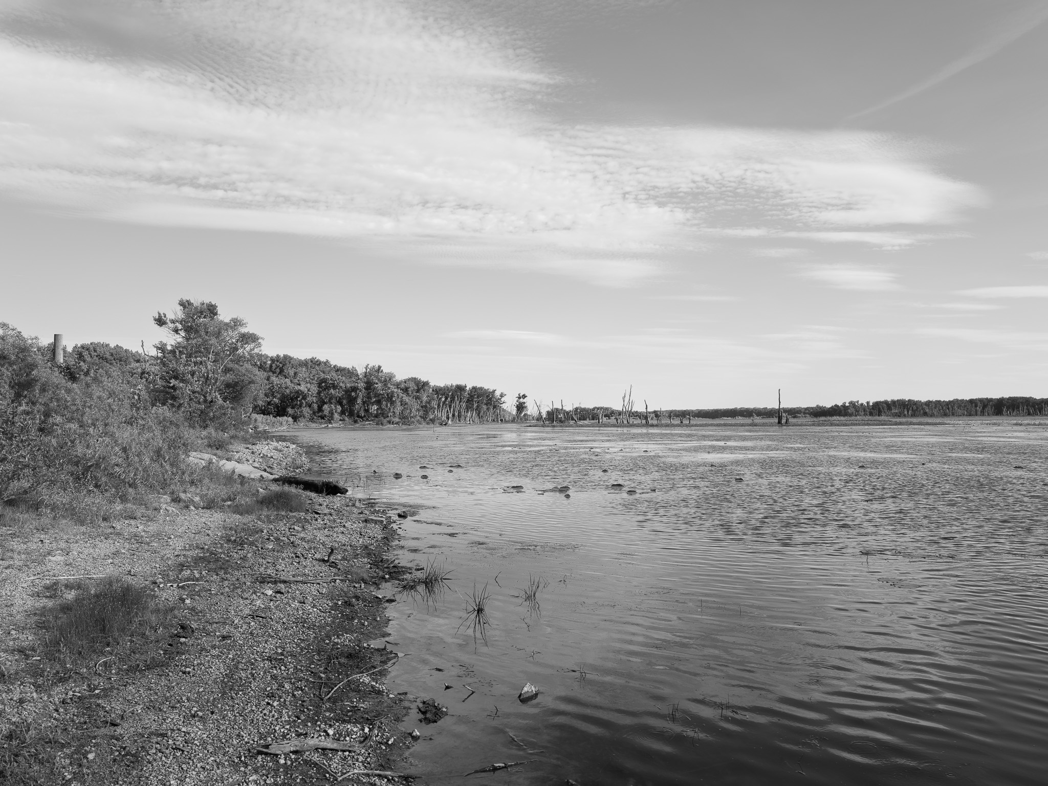
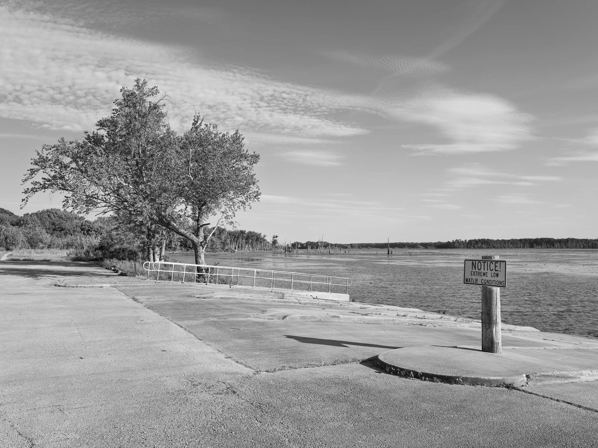
The Savanna Army Depot Activity (EPA Superfund ID 0501174) operated 7 miles north of the park from 1917 to 1995, with its southern boundary at the Apple River, which flows through the park and into the Mississippi at the park's western edge; the depot's abandoned landfill on the Apple River bank is documented by EPA as leaching TNT residues, PCBs, lead (soil concentrations up to 110,000 mg/kg), DDT, TCE, and mustard agent demilitarization residues into the Apple River and adjacent Mississippi River; the site was listed on the National Priorities List in 1989 and closed under BRAC in 2000; 9,404 acres were transferred to become the Lost Mound Unit of the Upper Mississippi River National Wildlife and Fish Refuge, immediately adjacent to the park; contamination monitoring at multiple on-depot sites is required through 2066
Ecology
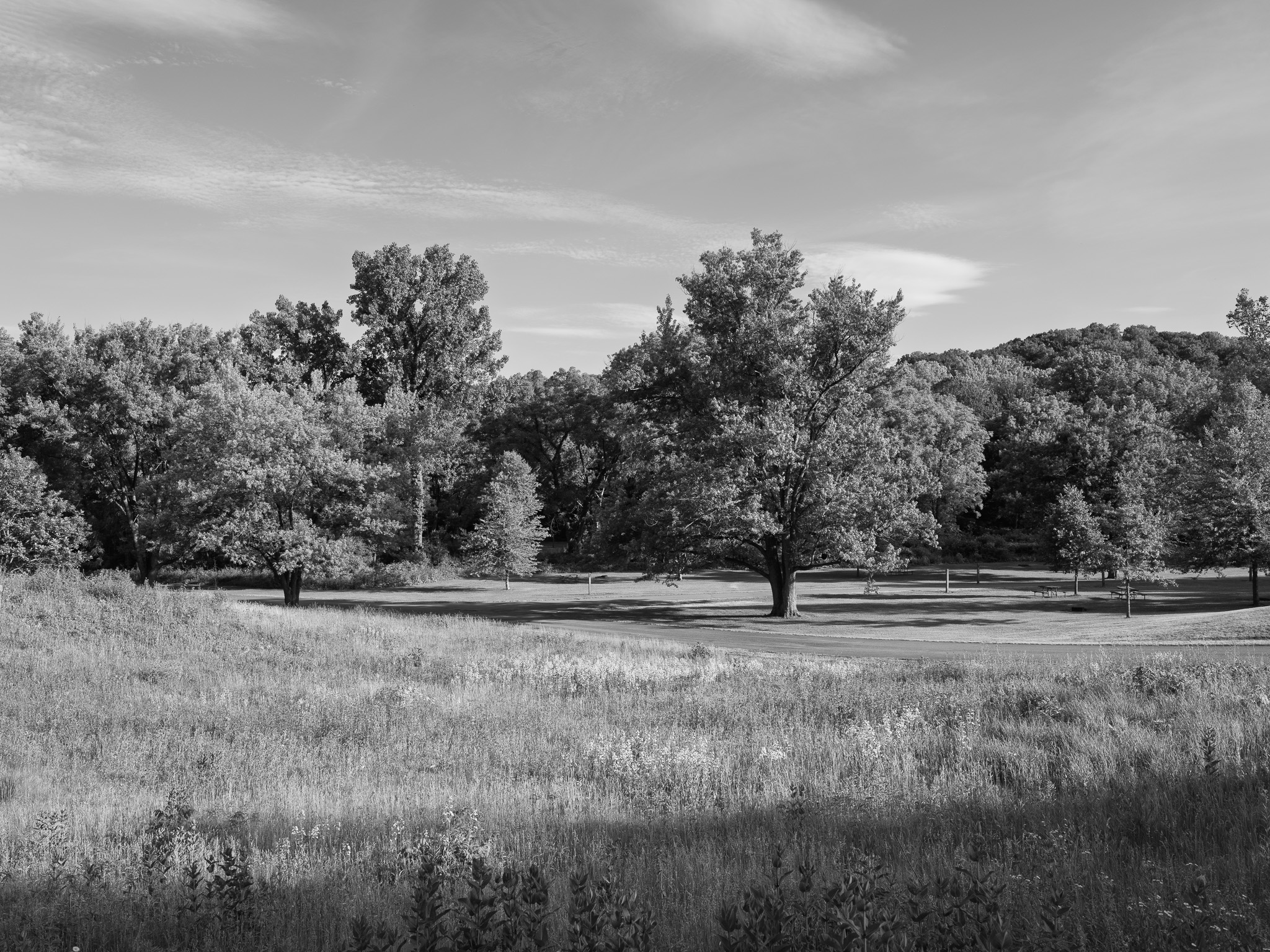
Oak-hickory forest dominates the uplands of this unglaciated Driftless Area landscape, transitioning to sugar maple and basswood in moist north-facing ravines; dolomite bluff faces and karst sinkholes support relict fern communities and calciphilic wildflowers including yellow lady's slipper orchid, Virginia bluebells, bloodroot, and wild ginger.
Hydrology
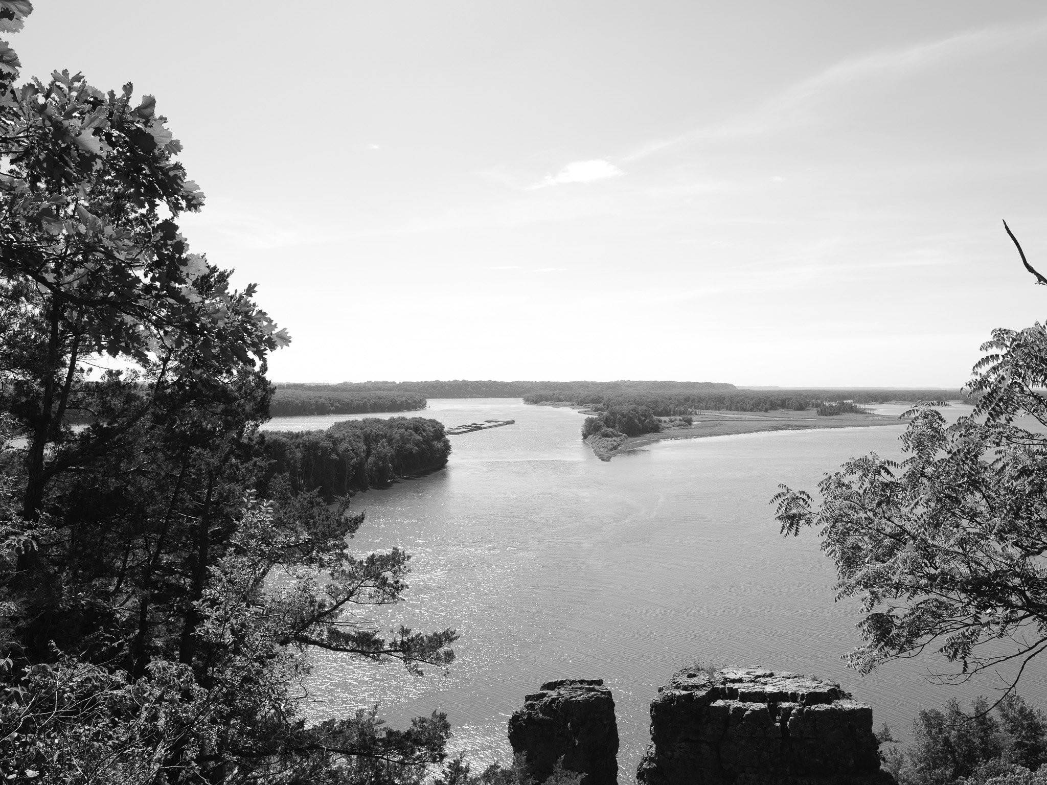
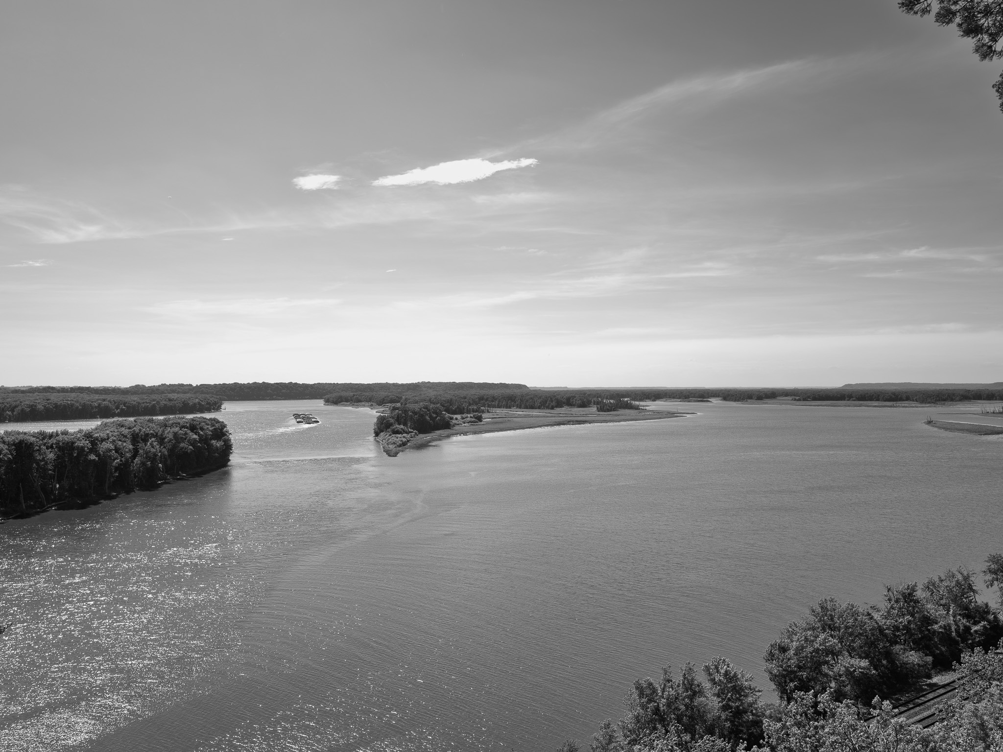
Located at the confluence of the Apple River and the Mississippi River in the Upper Mississippi watershed; ravines drain west to the Mississippi; karst topography produces sinkholes and vertical caves within the park.