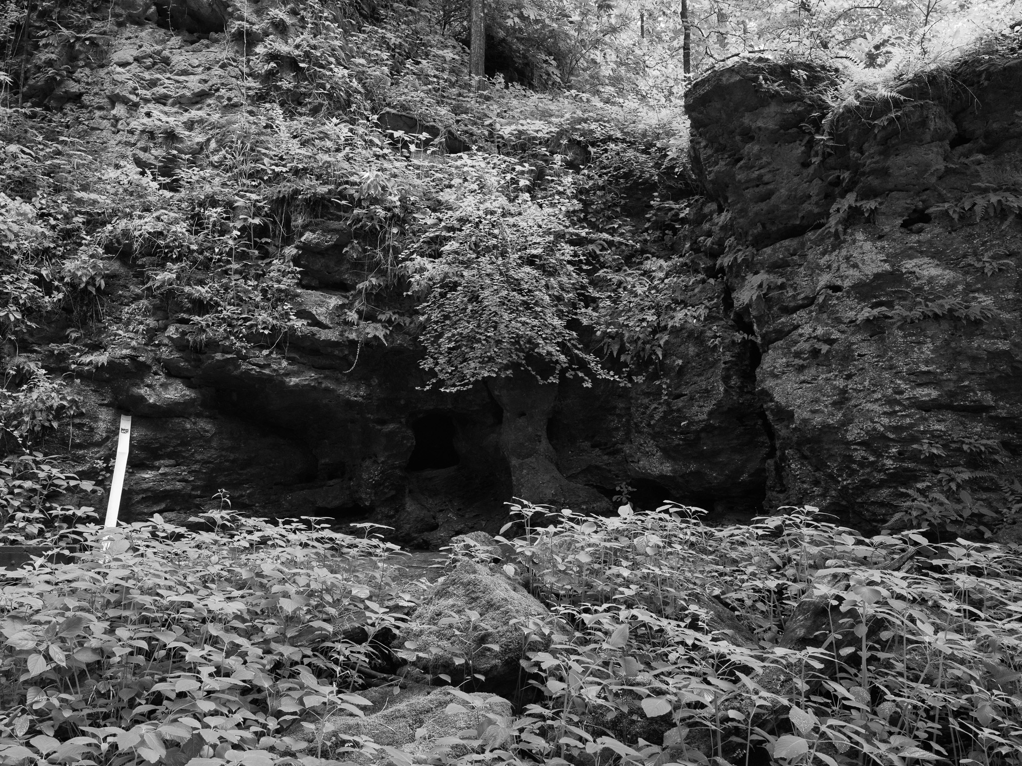
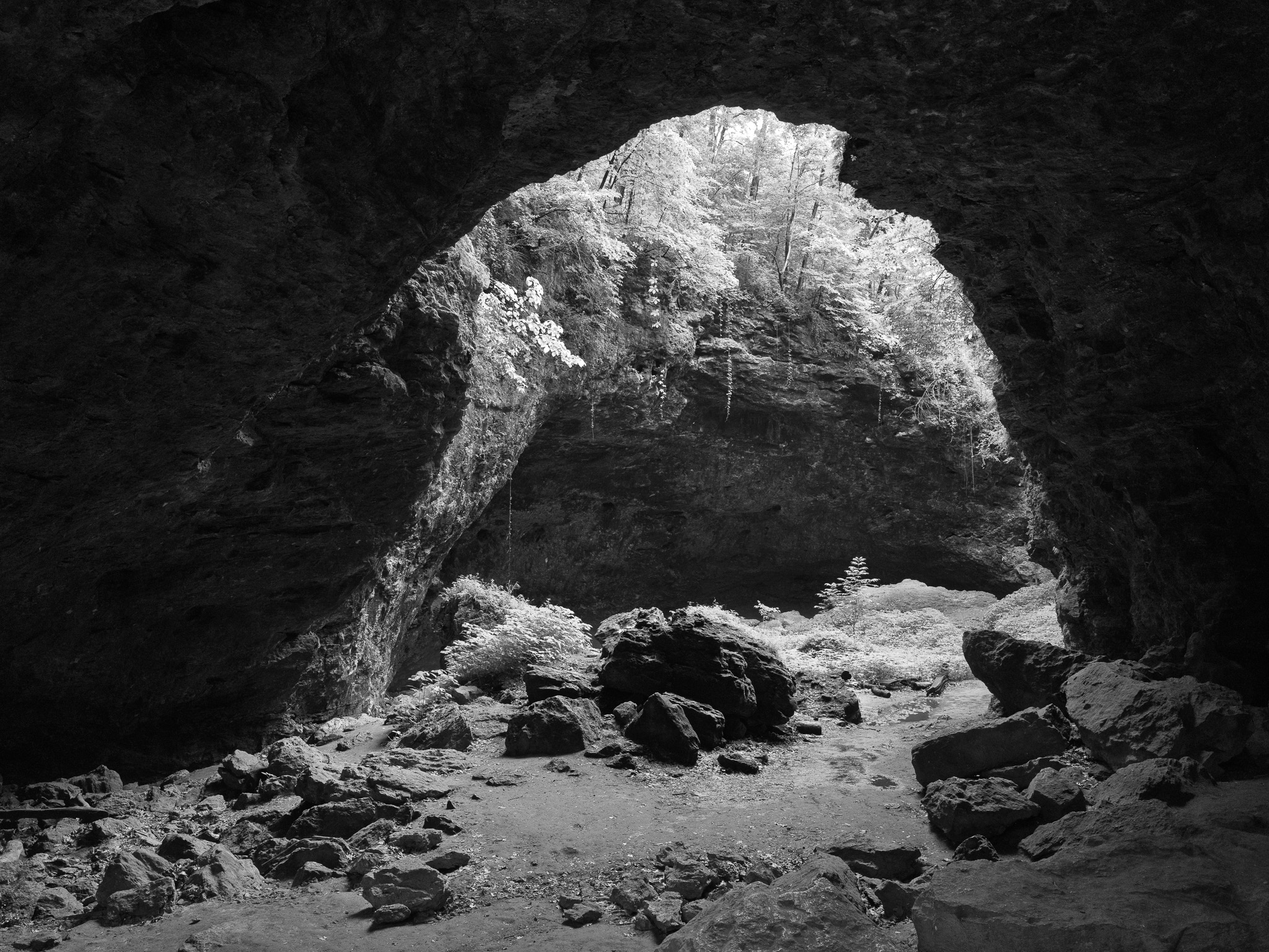
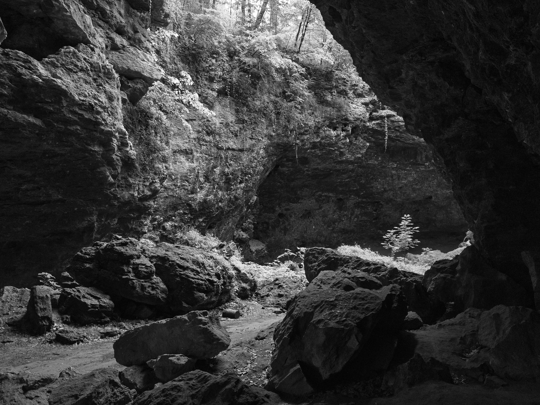
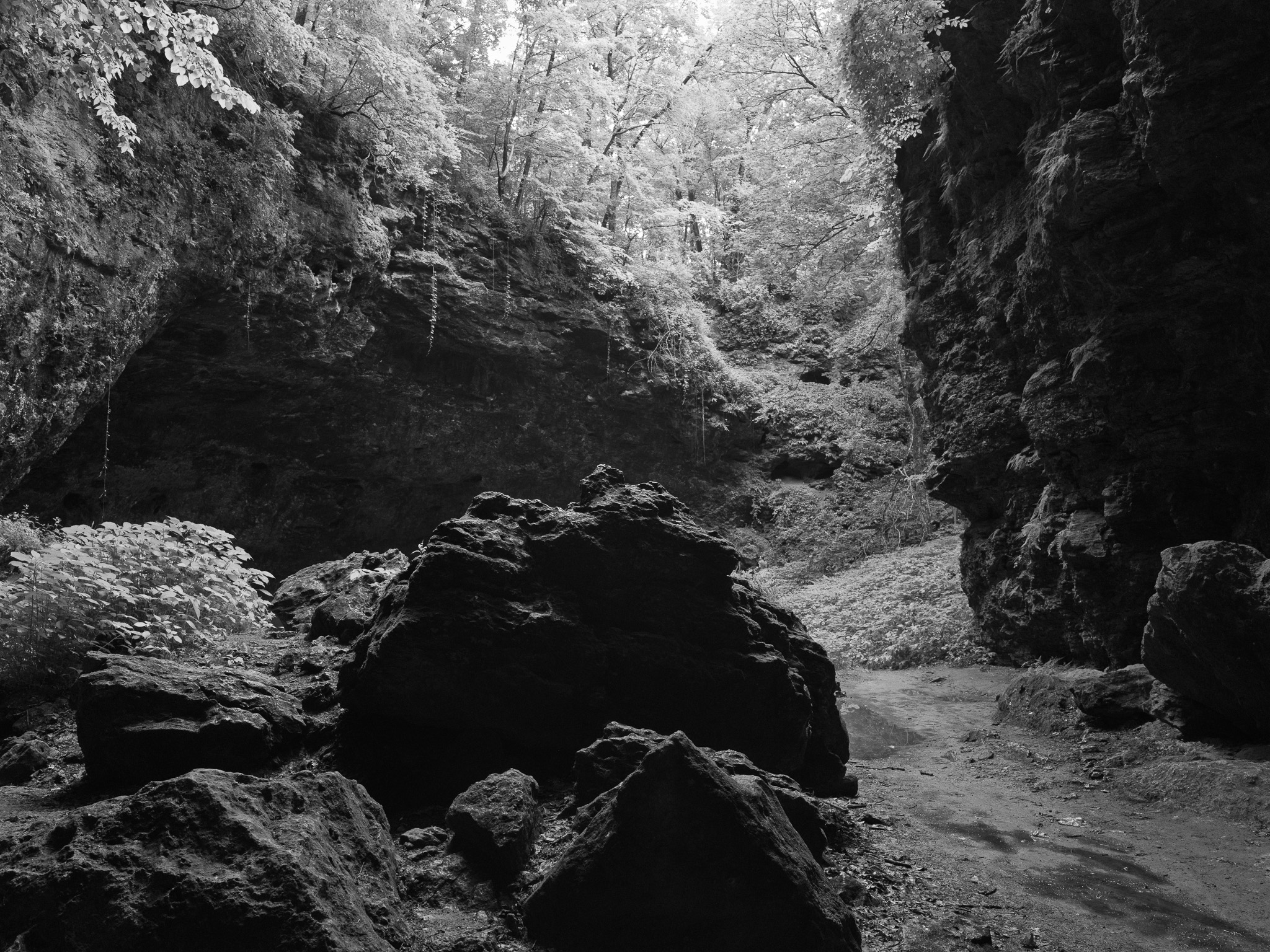
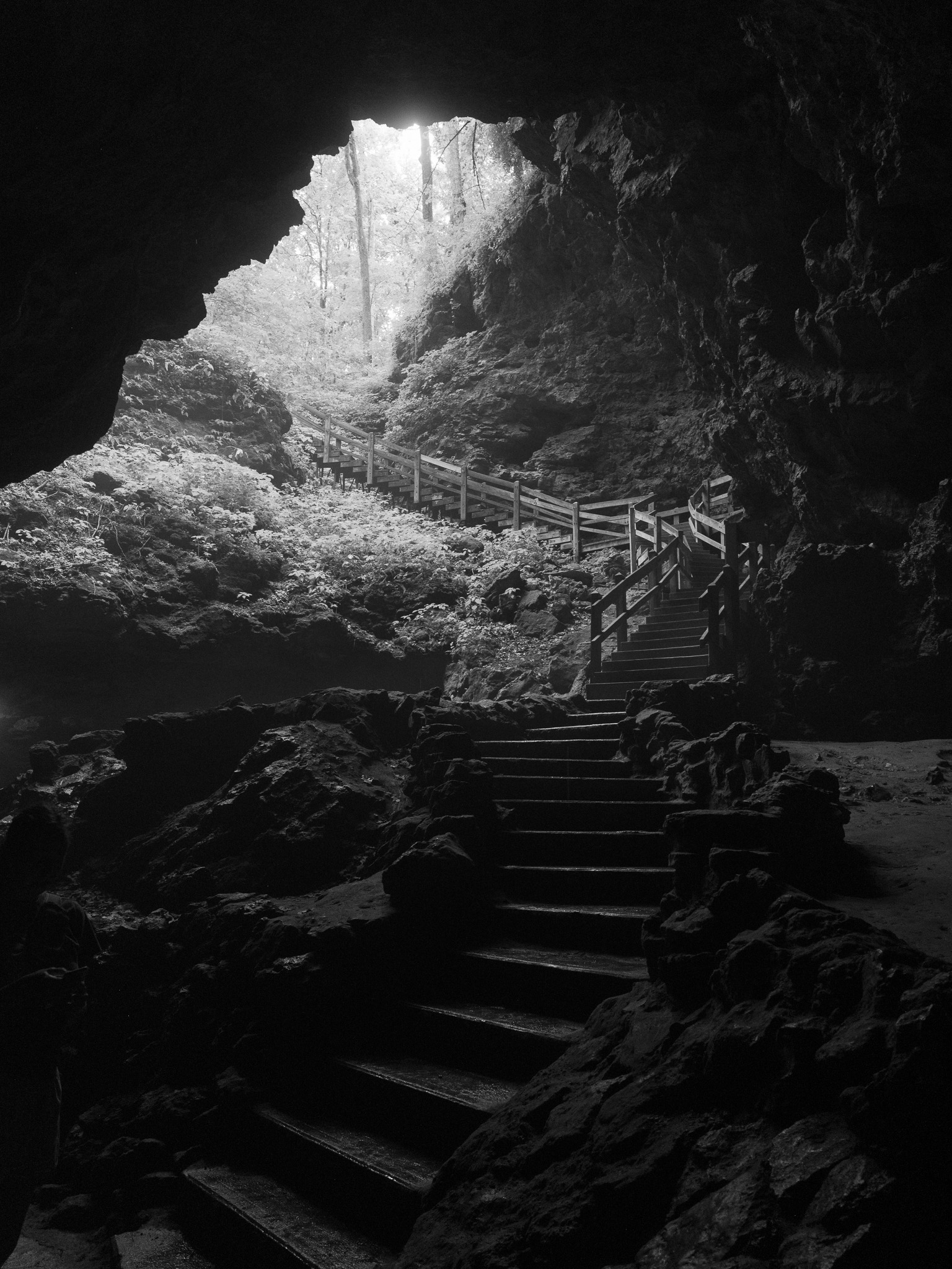
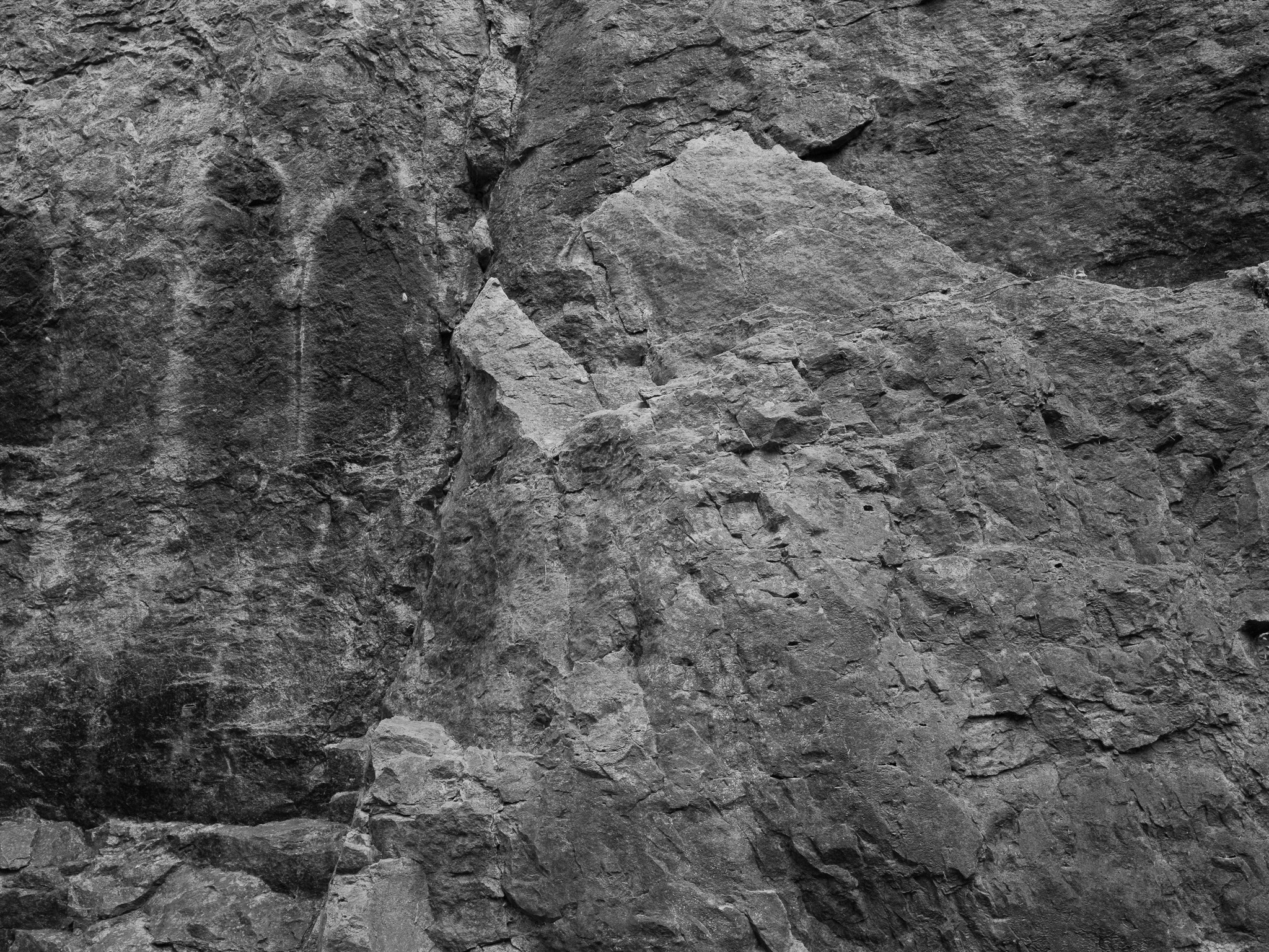
~430 Mya Silurian dolomite (Hopkinton and Scotch Grove formations) overlying Late Ordovician Maquoketa Formation limestone and shale
Epoch
Early Silurian (Llandovery-Wenlock); Late Ordovician strata below
Báxoje (Ioway, "grey snow people") held the Mississippi River corridor and Iowa River drainage as core territory; Sauk (Ozaakiiwaki) and Meskwaki (Meshkwahkihaki, "Red-Earths people") moved into eastern Iowa during the 18th century after conflicts with French colonists and by 1800 claimed the eastern Iowa strip including the Maquoketa River valley; the river name derives from the Meskwaki Maquaw-Autaw, meaning "Bear River"; Ho-Chunk (Hochungra) were placed in the Neutral Ground of northeast Iowa after 1832 as a buffer between Sauk-Meskwaki and Dakota peoples; Woodland-period peoples used the caves as winter shelter, leaving pottery, stone tools, and projectile points; Sauk and Meskwaki ceded the eastern Iowa strip under the Black Hawk Purchase, Treaty with the Sauk and Foxes (September 21, 1832, Royce Cession 175), with Black Hawk held prisoner during signing; remaining Iowa claims were extinguished by treaties in 1836, 1837, and 1842, with final removal west of the Missouri River completed by 1846; a Meskwaki band purchased land and returned to Iowa in 1856, remaining at the Meskwaki Settlement in Tama County
Displacement & Tenure
Royce Cession 175: Treaty with the Sauk and Foxes (September 21, 1832) -- the Black Hawk Purchase -- ceded a strip approximately 50 miles wide along the west bank of the Mississippi River from the Missouri state line north to the Upper Iowa River, encompassing the Maquoketa Caves area in Jackson County; cession covered roughly 6 million acres and was extracted as a punitive condition of Black Hawk's defeat, with Black Hawk held prisoner during signing; second Black Hawk Purchase (October 21, 1837) ceded 1.25 million acres immediately west; Treaty with the Sauk and Foxes (October 11, 1842) extinguished all remaining Sauk and Meskwaki Iowa claims; forced removal west of the Missouri River completed by 1846; Iowa Federation of Women's Clubs purchased approximately 17 acres including the main caves in 1921; the 111-acre core was dedicated as a state park in 1933
Shadow History
Woodland-period pottery, stone tools, and projectile points recovered from the caves are held in collections, though no NAGPRA compliance documentation is available in public records for these materials
Ecology
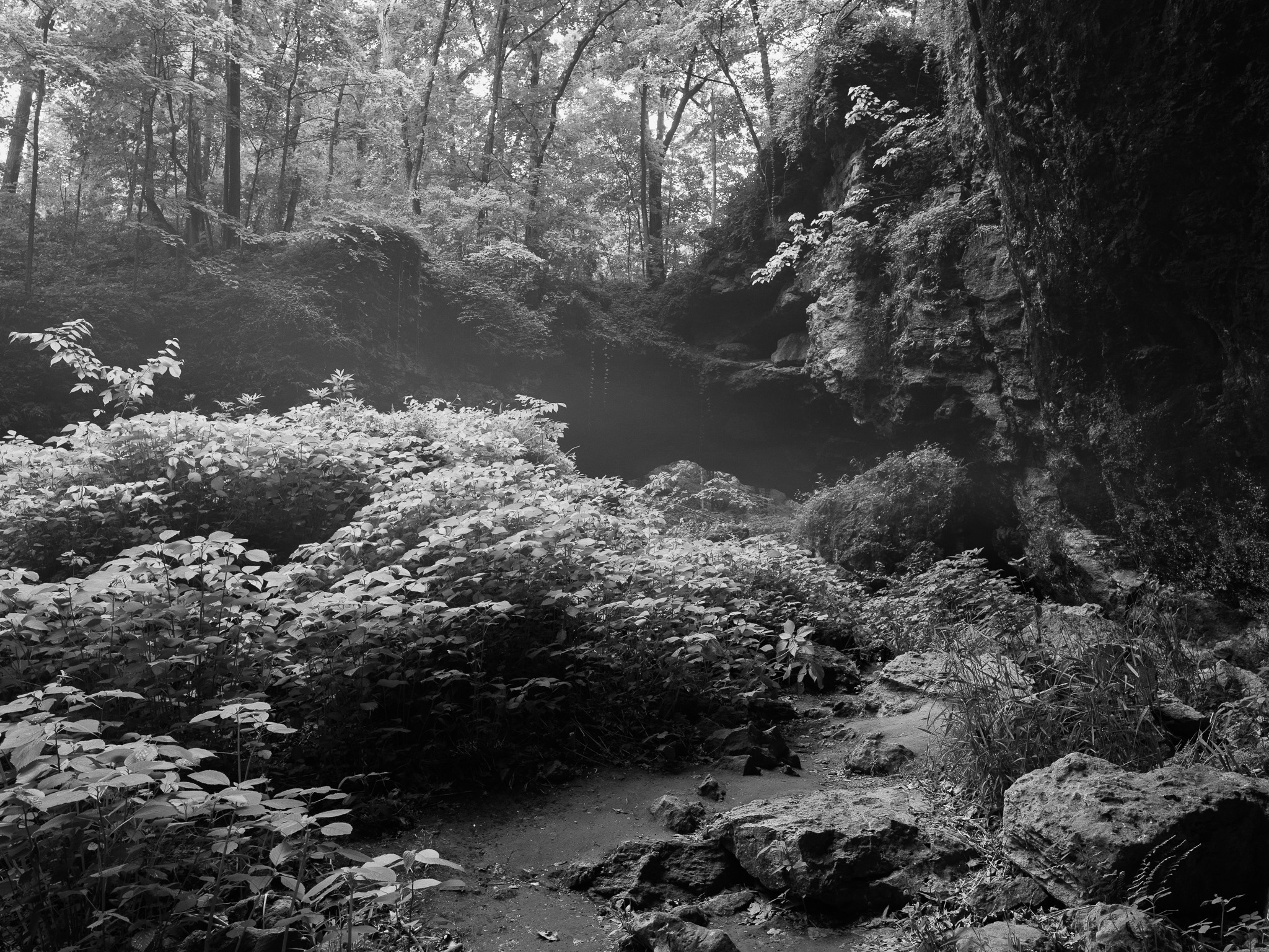
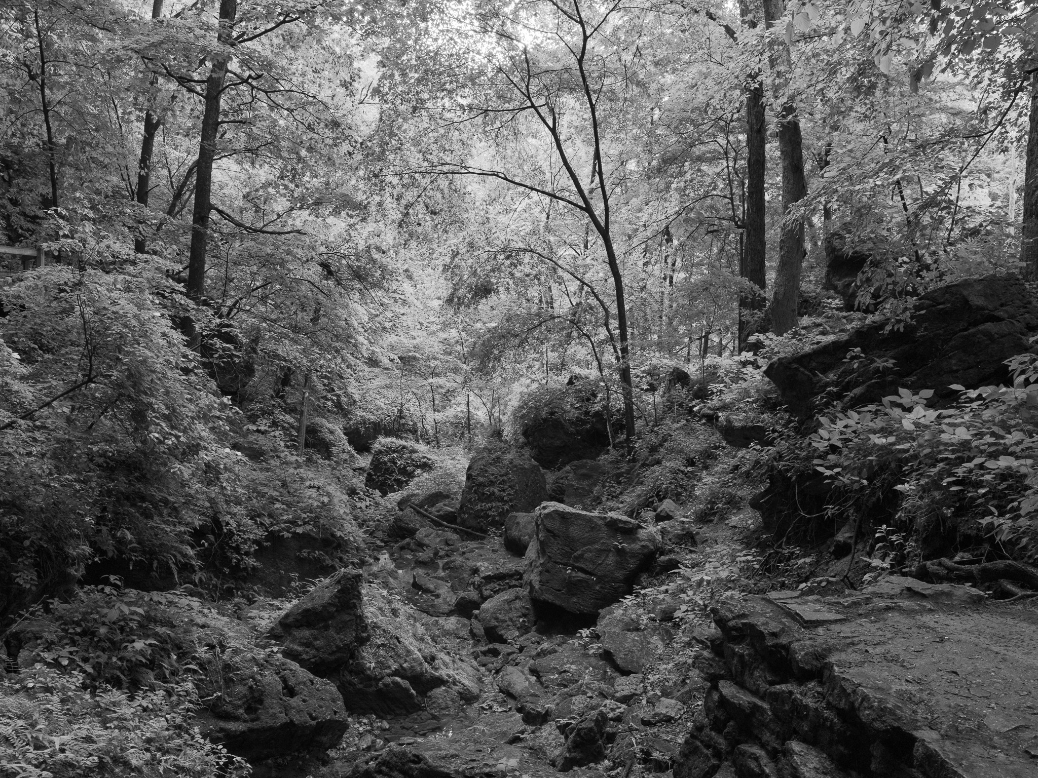
Mixed hardwood forest of upland white oak, red oak, and sugar maple on ridgetops and slopes; shaded ravines and dolomite bluff faces support rare species including yellow lady's slipper orchid, leatherwood, and gromwell; the park sits in the Driftless Area, unglaciated during the Pleistocene, and contains more caves than any other Iowa state park.
Hydrology
Drains to the North Fork Maquoketa River, a tributary of the Maquoketa River (approximately 150 miles long), which flows southeast to the Mississippi; within the Maquoketa River HUC 07060006 watershed (~1,895 sq mi); classic karst hydrology with sinkholes, underground streams, and natural bridges formed by groundwater dissolution of Silurian dolomite over an estimated 500,000 years.