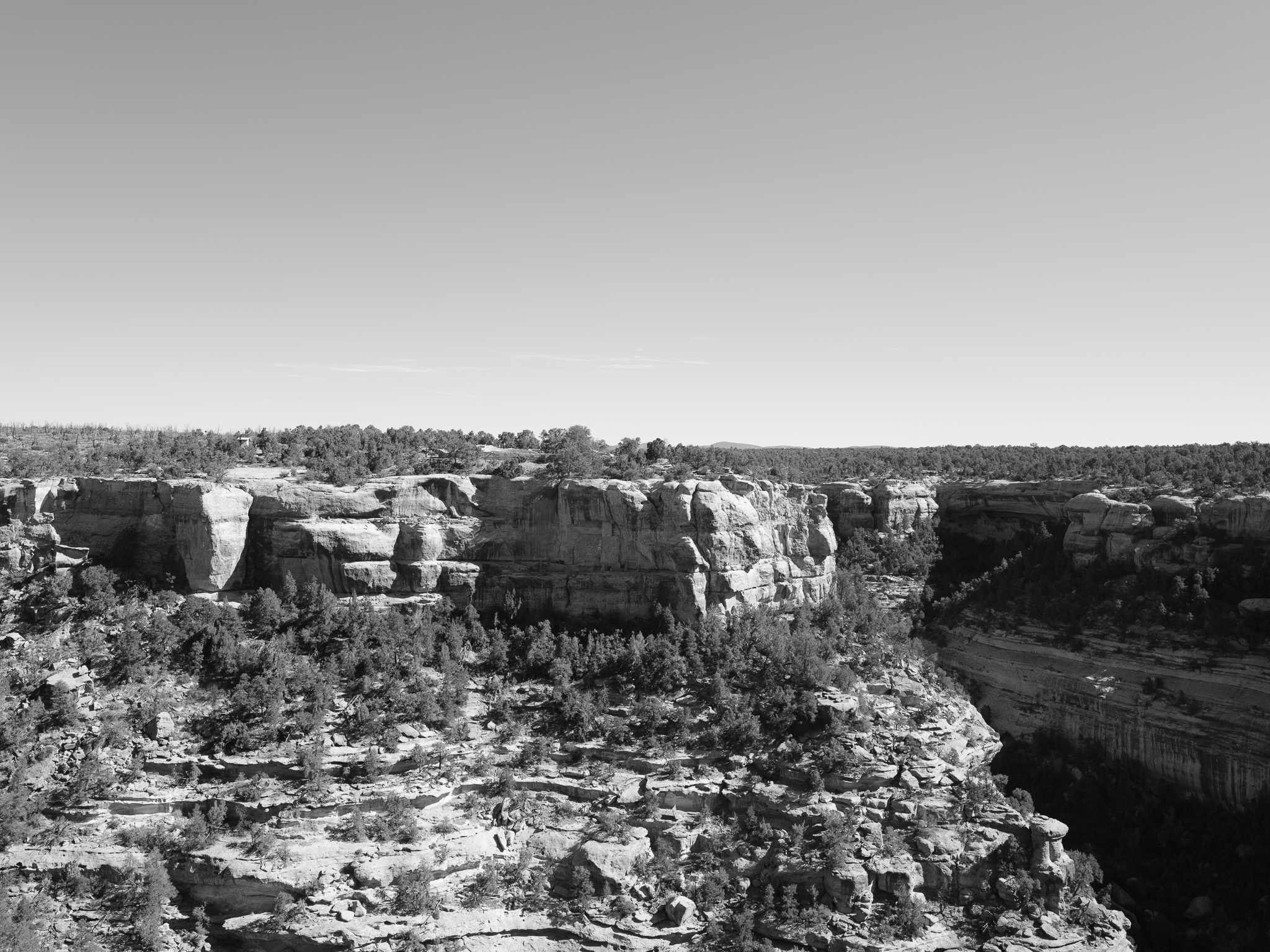
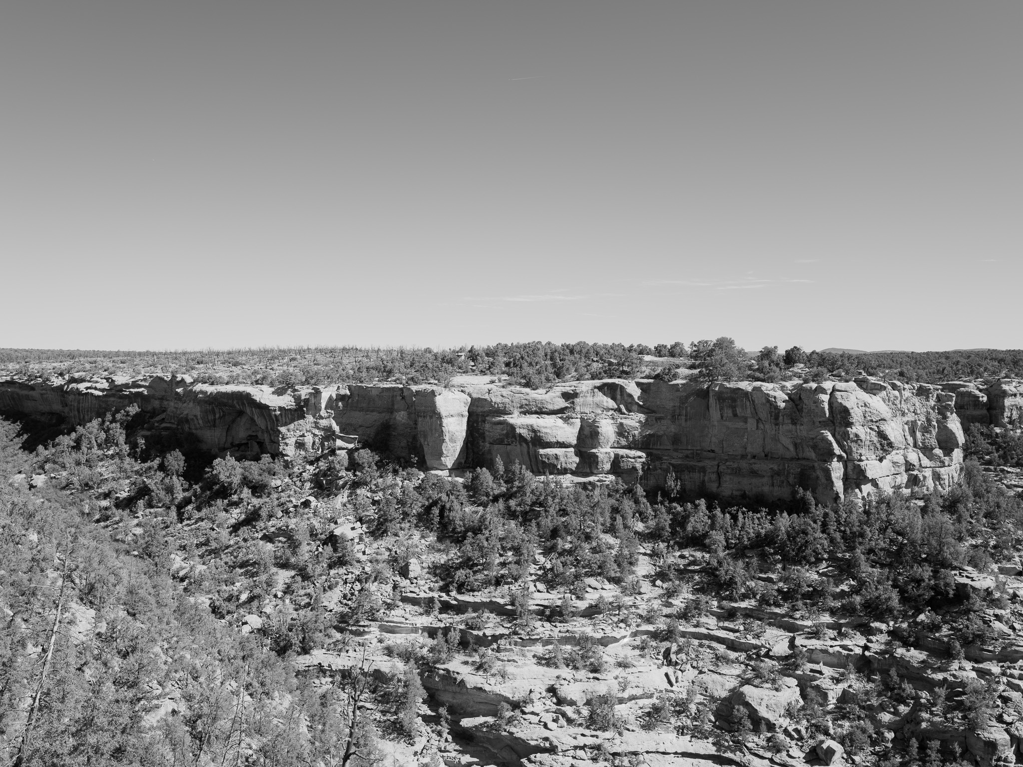
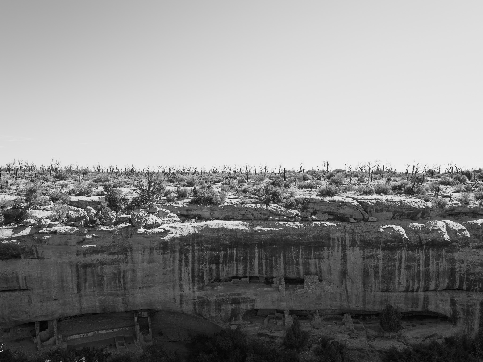
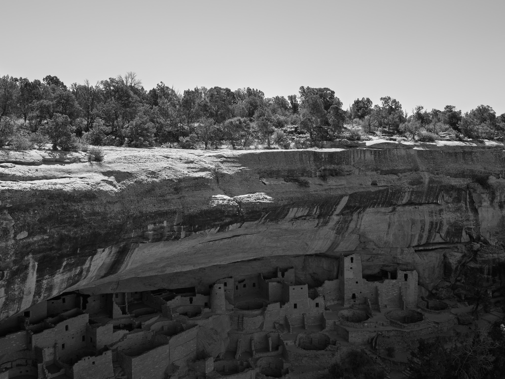
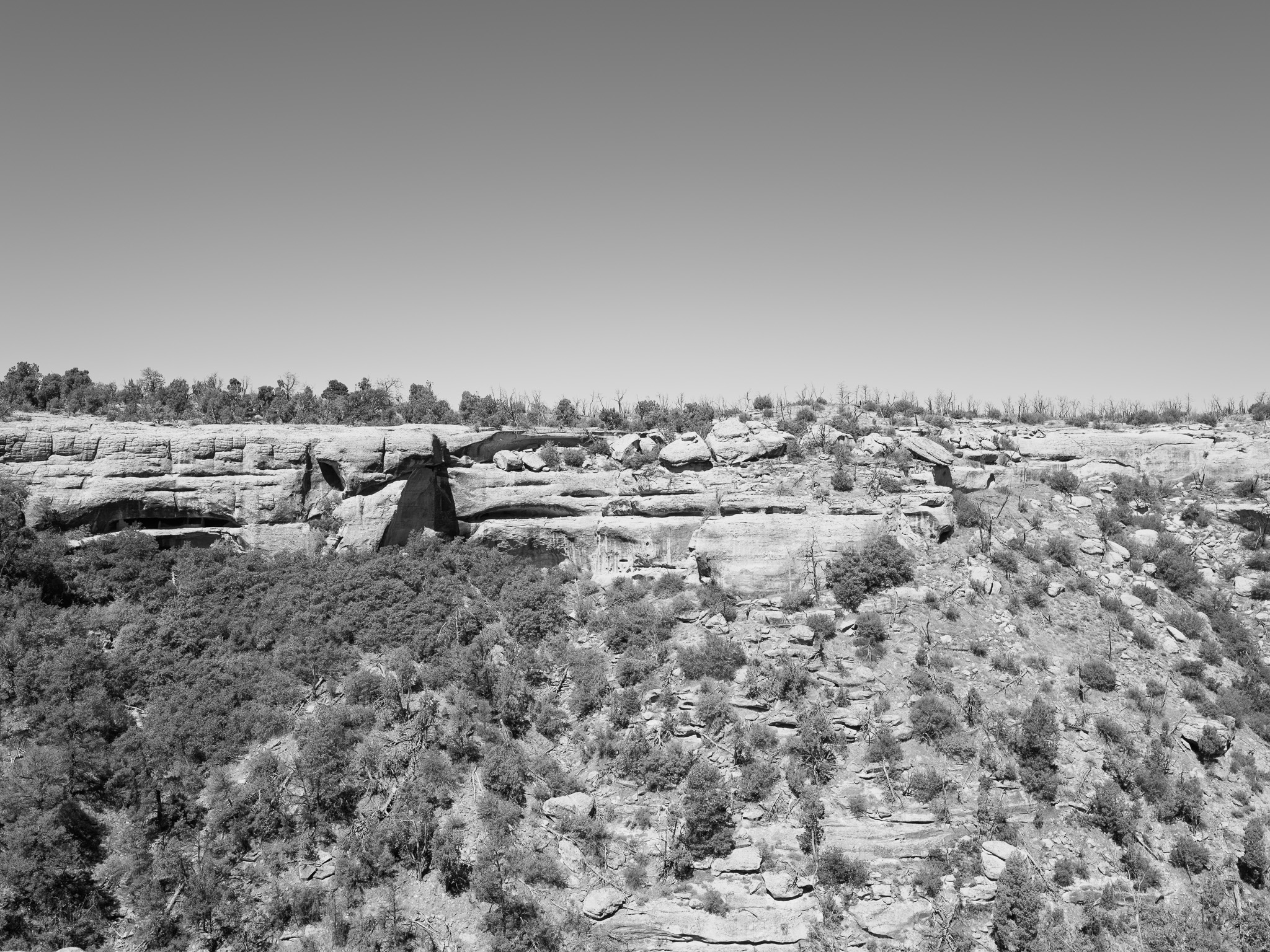
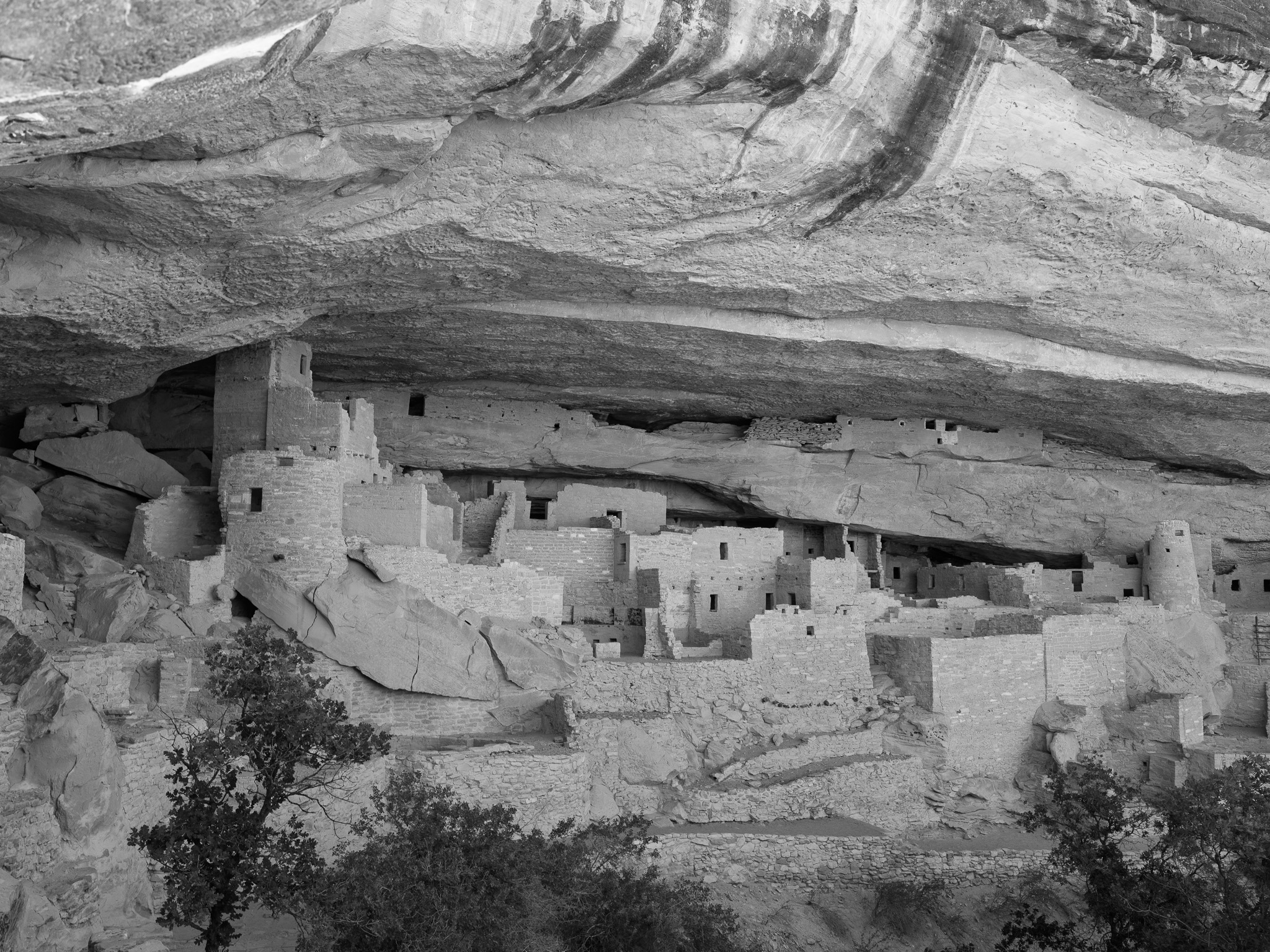
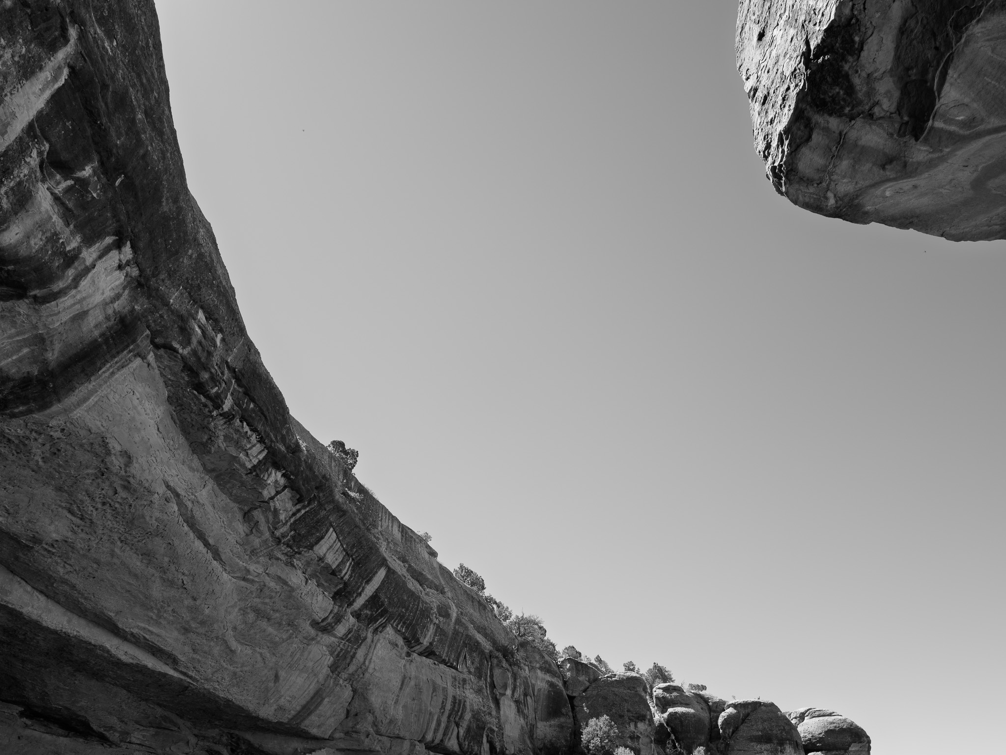
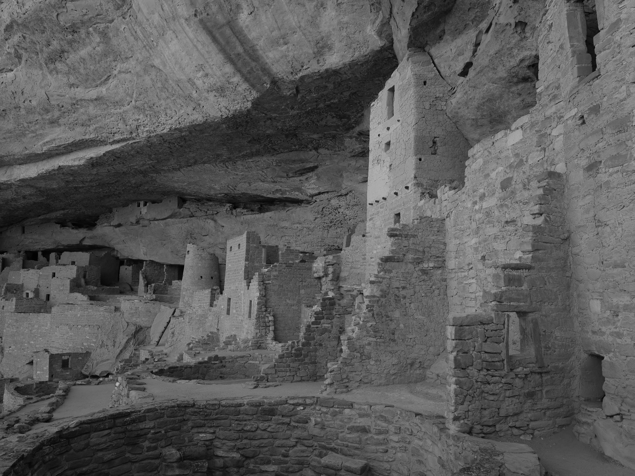
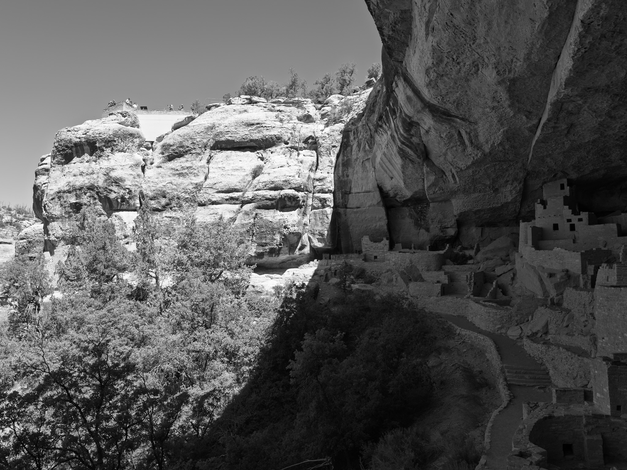
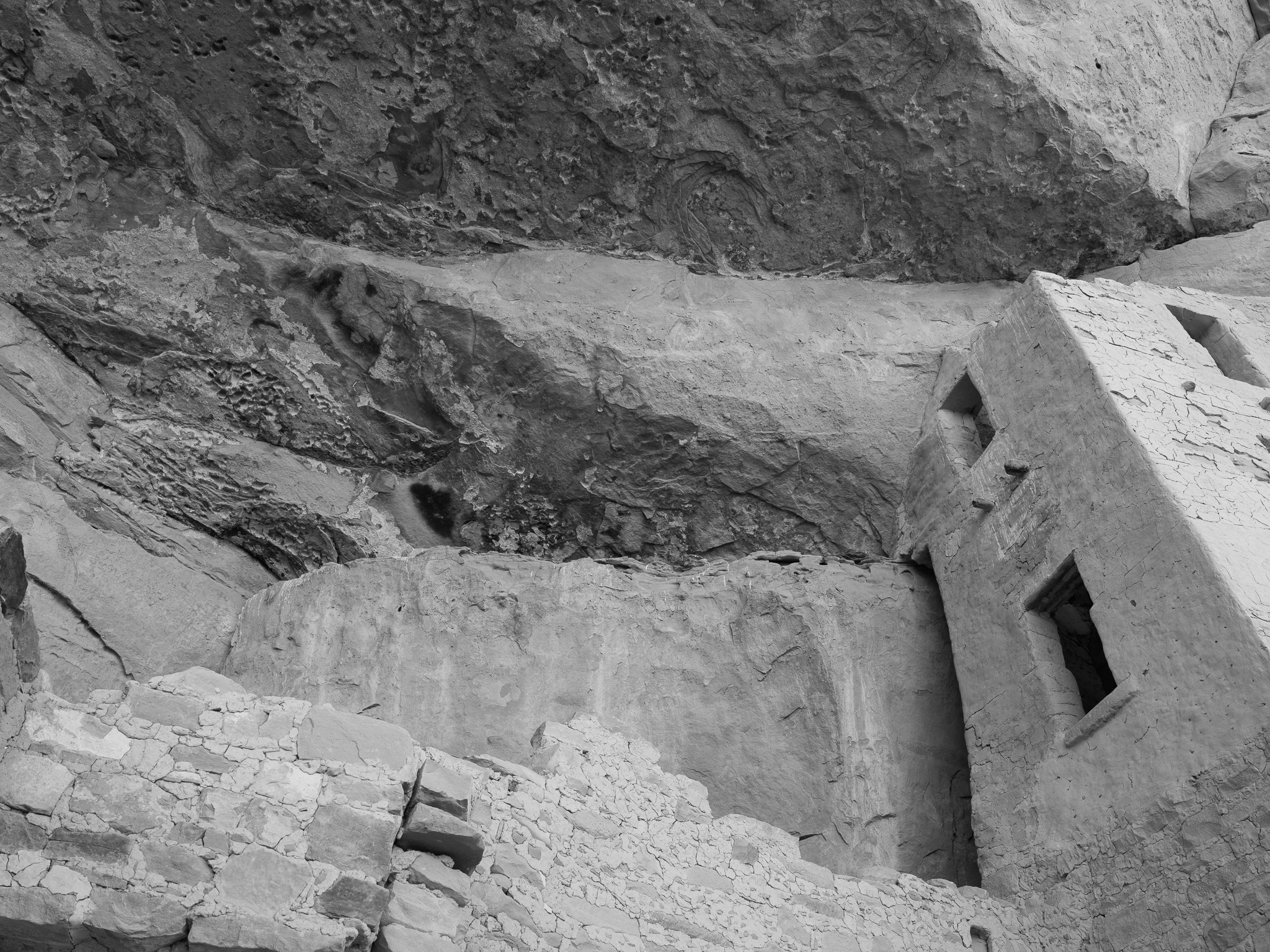
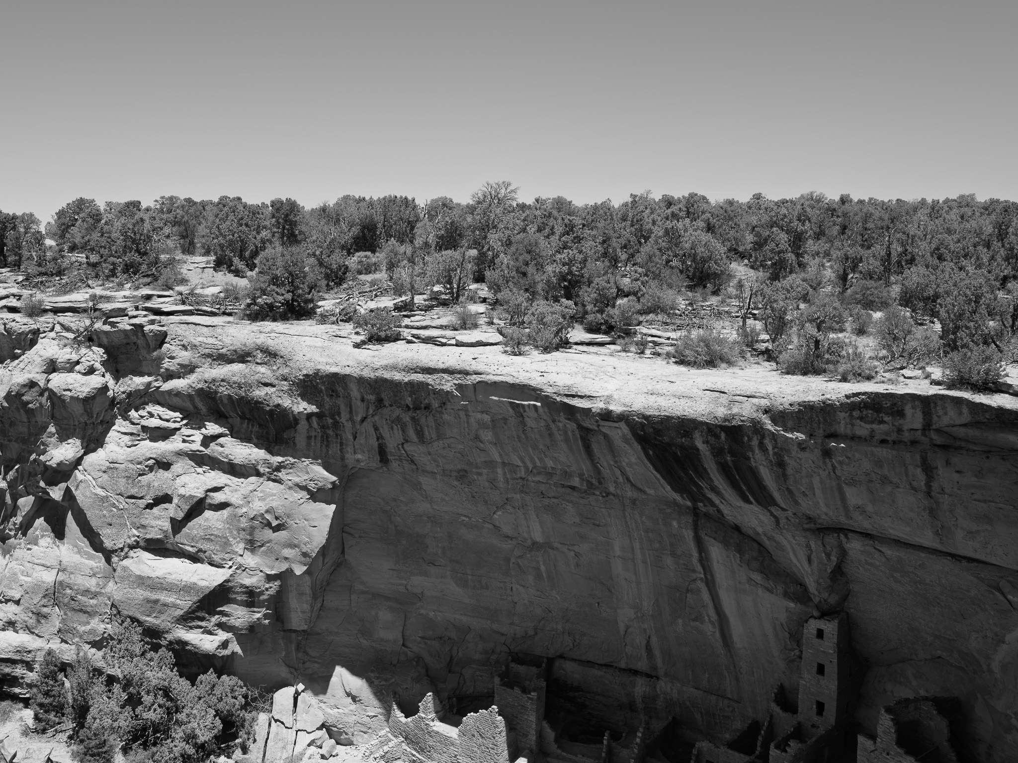
~80-75 Mya Late Cretaceous Cliff House Sandstone (Mesaverde Group), a pale yellow-orange, cliff-forming, cross-bedded marine sandstone roughly 400 feet thick, deposited in a shallow near-shore sea during a northward transgression; it caps the softer Menefee Formation and the underlying Mancos Shale, and where the massive sandstone overlies the erodible shale it weathers into the deep alcoves that shelter the cliff dwellings
Epoch
Late Cretaceous (Campanian)
Ancestral Pueblo homeland, built and farmed from about AD 550 until roughly AD 1280, when a generation of severe drought drove the people south to the Rio Grande, the Little Colorado, and the Hopi mesas; Mesa Verde recognizes 26 affiliated tribes, among them the Hopi (Hopisinom), the Zuni (A:shiwi), the nineteen Rio Grande, Acoma, and Laguna Pueblos of New Mexico, and Ysleta del Sur, who hold the Ancestral Pueblo as direct ancestors; the mesa later lay within the range of the Weeminuche band of the Ute (Núu-agha-tʉvʉ-pʉ̱), whose descendants in the neighboring Ute Mountain Ute Tribe hold the adjoining Ute Mountain Tribal Park along the Mancos; Navajo (Diné) and Jicarilla Apache are also associated. The cliff dwellings, among them the roughly 150-room Cliff Palace, were occupied into the late 1200s and left by about AD 1300.
Displacement & Tenure
Mesa Verde lies within country reserved to the Ute by the Treaty of 1868, which set aside roughly the western third of Colorado, then stripped away piece by piece: the Brunot Agreement of 1873 took some 3.7 million acres of the San Juan mountains for silver mining, and after the 1879 Meeker incident the Ute Removal Agreement of 1880 expelled most of Colorado's Utes to Utah, sparing only the Muache, Capote, and Weeminuche, who were confined to a narrow strip along the New Mexico line. The Hunter Act of 1895 forced allotment on this Southern Ute Reservation; only the Weeminuche, under Ignacio, refused, moving west to the foot of Sleeping Ute Mountain to hold land in common as what became the Ute Mountain Ute. Congress carved Mesa Verde National Park (about 52,485 acres) from this landscape on June 29, 1906, the same year as the Antiquities Act; surveys soon showed that many of the finest dwellings lay just outside the park on Ute Mountain Ute land, and a 1911 land exchange traded reservation acreage into the park for federal land elsewhere, redrawing the boundary toward McElmo Creek.
Shadow History
The park's founding narrative of scientific discovery rests on a history of grave excavation and the removal of the dead. In 1891 the young Swedish scientist Gustaf Nordenskiöld, guided by the Wetherill ranching family who had been collecting from the cliff dwellings, excavated some twenty graves at Mesa Verde and shipped roughly 600 objects, together with the human remains of Ancestral Pueblo people, to Scandinavia and ultimately to the National Museum of Finland in Helsinki; he was briefly arrested in Durango but released when no law was found to have been broken. The publicity helped drive the regional artifact rush and the passage of the 1906 Antiquities Act, even as the same collecting impulse emptied burials across the Four Corners. Only in 2019 and 2020 did Finland agree to repatriate the human remains and associated funerary objects to the affiliated tribes, more than a century after their taking.
Ecology
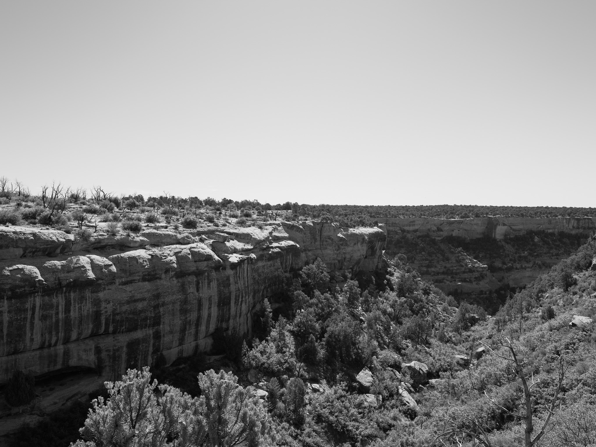
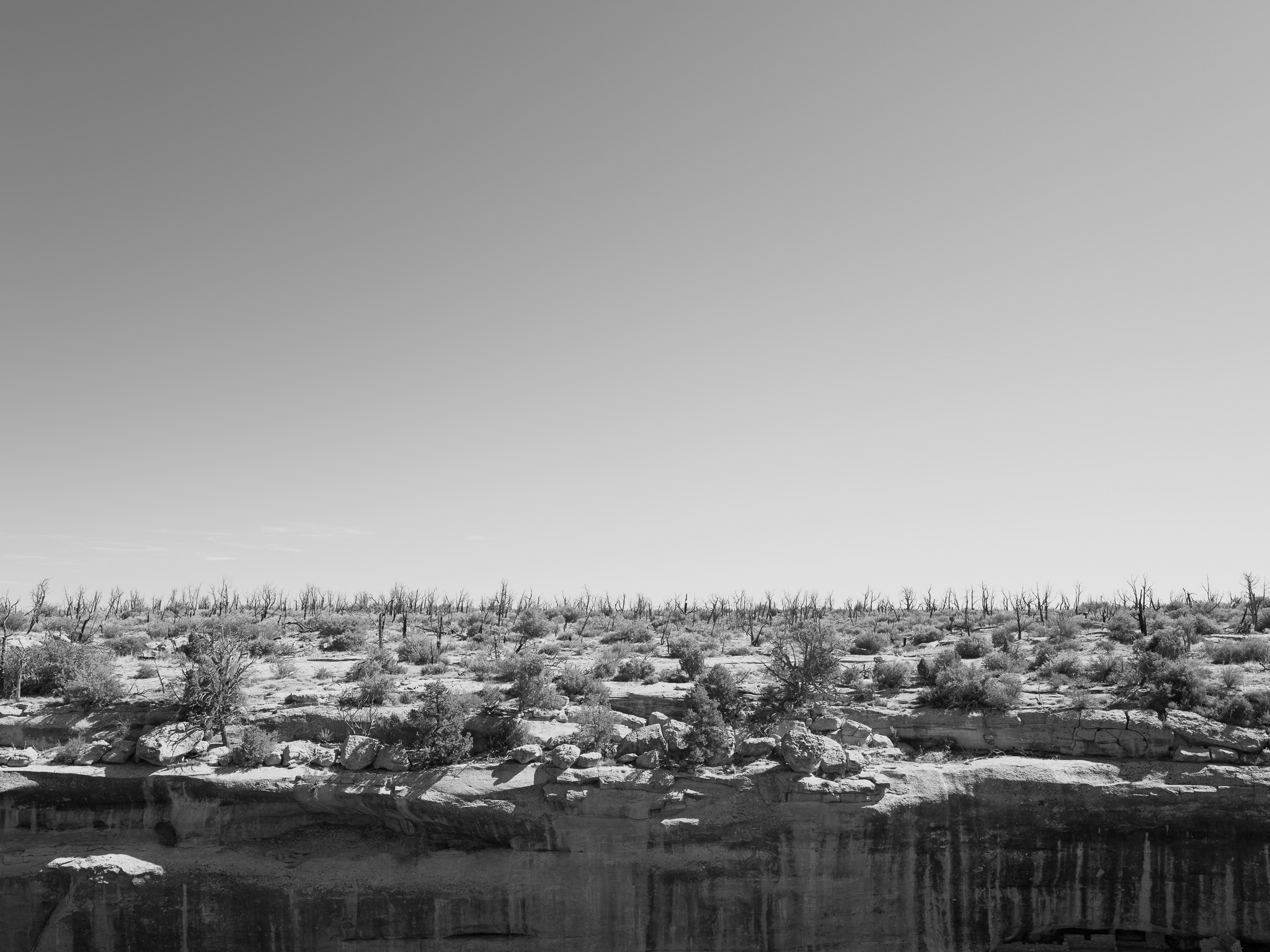
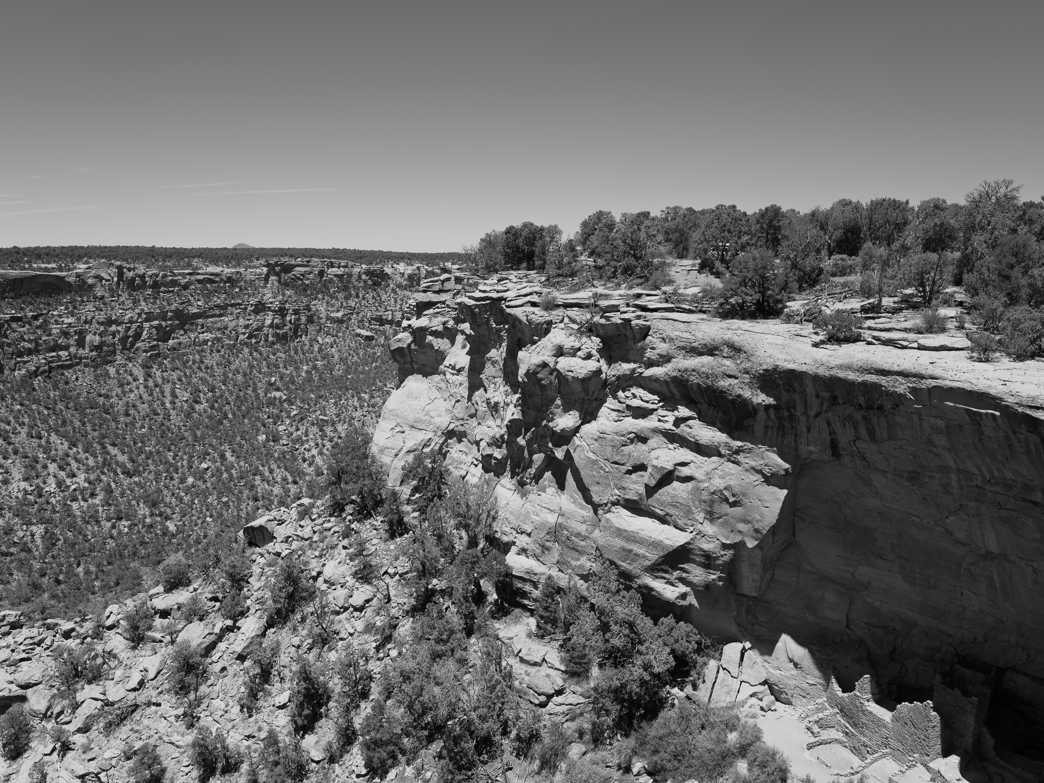
A compact landscape of unusual biodiversity spanning several life zones with elevation: sagebrush shrub-steppe and mountain shrub at lower elevations give way to extensive pinyon-juniper woodland of two-needle pinyon (Pinus edulis) and Utah juniper (Juniperus osteosperma), with remnant old-growth stands 300 to 500 years old, and Douglas fir and ponderosa pine on the highest, coolest north-facing slopes and canyon heads. Fourteen rare plants of conservation concern grow here, among them the endemic Cliff Palace milkvetch and Chapin Mesa milkvetch; wildlife includes mule deer, elk, black bear, mountain lion, and wild turkey, with peregrine falcon and Mexican spotted owl in the cliffs.
Hydrology
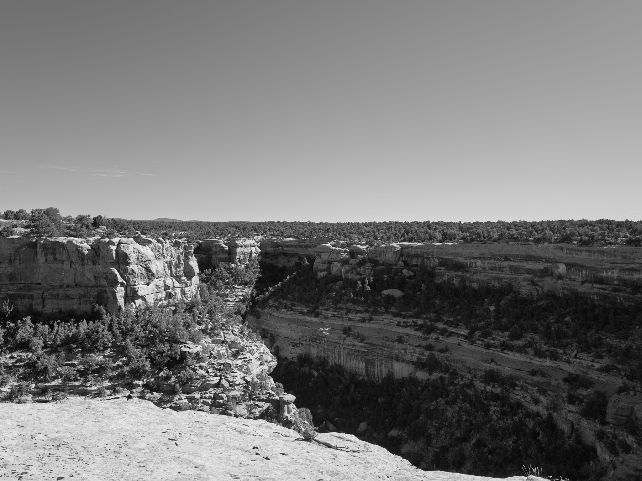
Drains to the Mancos River, a tributary of the San Juan and ultimately the Colorado, which runs about five miles along the park's southern edge and is its only perennial stream; the cuesta tilts gently south, so the canyons that dissect the mesa shed runoff toward the Mancos. Permanent surface water is otherwise limited to seeps, springs, potholes, and historic wells, the same alcove seeps in the Cliff House Sandstone that supplied the cliff dwellings; recent monitoring records a declining flow trend as the basin warms and dries.