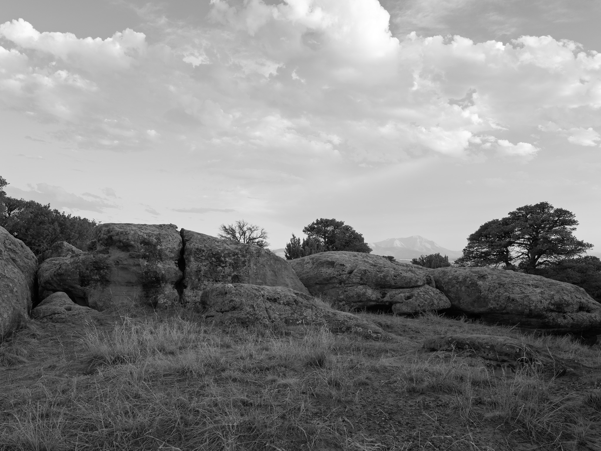
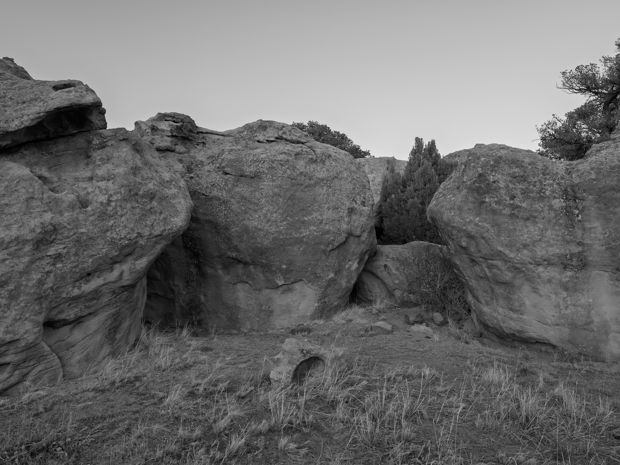
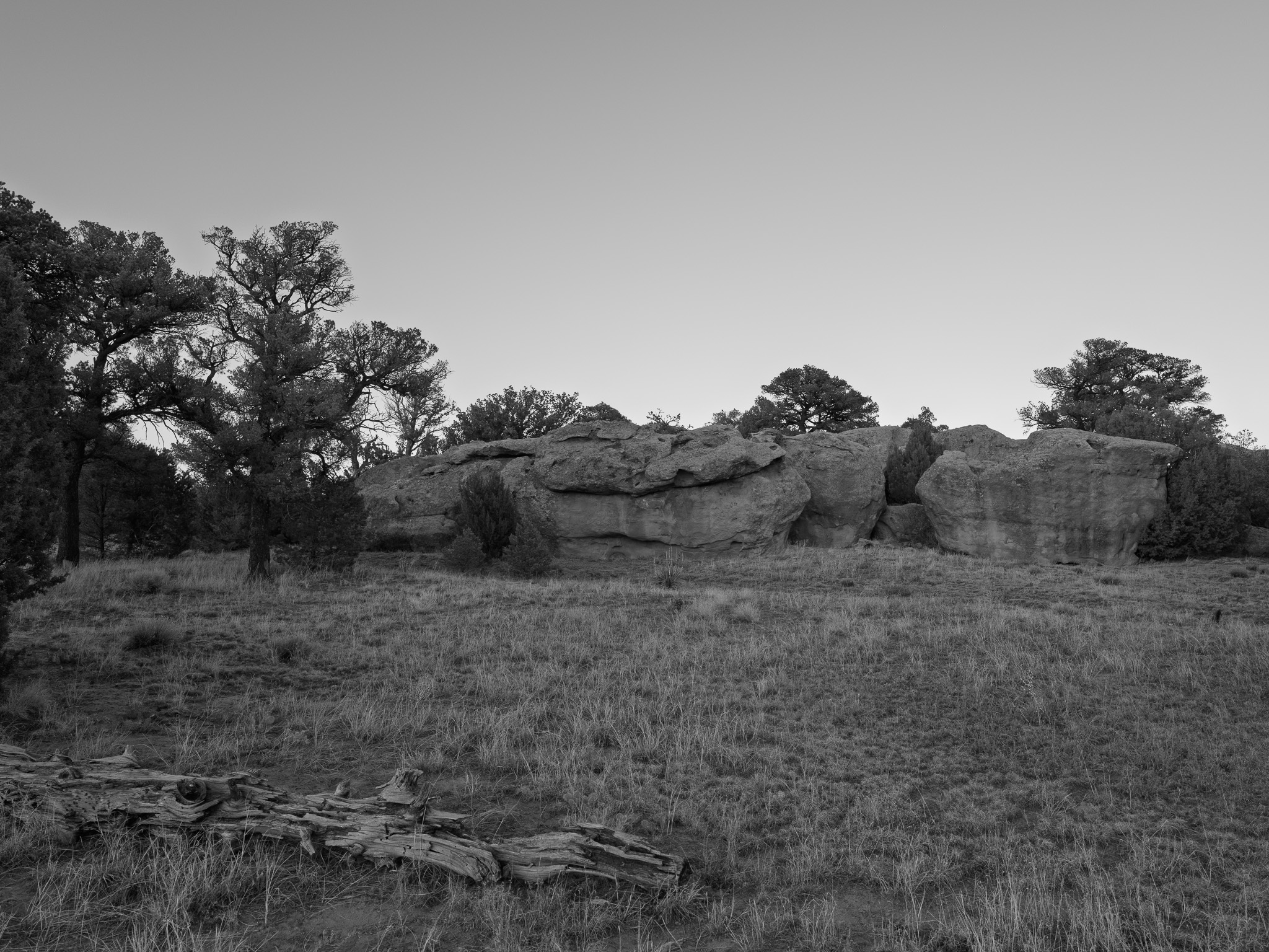
~24 to 23 Mya Late Oligocene igneous intrusions of the Spanish Peaks system, whose two shallow stocks (West Spanish Peak quartz syenite, about 24.6 Ma; East Spanish Peak granodiorite, about 23.4 Ma) cracked the surrounding crust into a radial swarm of more than 400 dikes reaching 25 miles outward; one of these, the Walsen Ridge dike, forms a hard volcanic wall along the park's northern boundary, left standing where erosion stripped the softer Eocene Cuchara Formation sandstones it cut through
Epoch
Late Oligocene (Spanish Peaks intrusions) / Eocene (Cuchara Formation country rock)
Mouache (Muache) band of the Ute (Núuchi-u), whose range ran along the eastern foothills of the Rockies from the Denver area south to Las Vegas, New Mexico, taking in the Wet Mountain Valley and the Spanish Peaks country; Jicarilla Apache (Tinde) hunted the adjoining plains, and Comanche (Nʉmʉnʉʉ), Kiowa (Cáuigù), Cheyenne, and Arapaho came to the Cucharas River bottoms each autumn when the wild plums and grapes ripened; the Taos Trail through the valley linked the New Mexico pueblos to these northern nations; the Tabeguache Ute under Ouray ceded the central Colorado mountains and San Luis Valley in the 1863 Treaty of Conejos, the 1868 Ute treaty followed, and after the 1879 Meeker conflict most Colorado Utes were removed to Utah in 1880 to 1881, the Mouache spared and confined to the Southern Ute Reservation at Ignacio
Displacement & Tenure
The Cucharas valley fell within the original bounds of the Vigil and St. Vrain (Las Animas) grant, a Mexican land grant of more than four million acres made to Cornelio Vigil and Ceran St. Vrain on December 8, 1843, that claimed the Greenhorn, Huerfano, Cucharas, Apishapa, and Purgatoire valleys south of the Arkansas. Mexican sovereignty passed to the United States under the Treaty of Guadalupe Hidalgo in 1848; Congress confirmed the grant in 1860 but cut it to about 97,390 acres (eleven square leagues to each grantee), so the Walsenburg country reverted to federal public domain, with litigation over the remainder reaching the Supreme Court in 1900. Native title was extinguished separately, the Tabeguache Ute ceding the mountains east of the Continental Divide in the 1863 Treaty of Conejos, followed by the 1868 treaty and the 1880 removal. Hispano settlers from New Mexico built the plaza communities along the Cucharas and Huerfano in the 1860s, and the land became Lathrop State Park, Colorado's first, in 1962.
Shadow History
Lathrop's signature landform carries the coalfield's name: the Walsen Ridge dike along the park's northern boundary is named for Fred Walsen, who opened Huerfano County's first commercial coal mine just west of Walsenburg in 1876 and gave the town its name. The park sits in the middle of a field from which roughly 500 million tons of coal were dug over the next century, worked under the company-town system of the Rockefeller-owned Colorado Fuel and Iron, which by 1913 ran the Walsen, Robinson, Pictou, and Cameron mines across the county on scrip wages behind armed guards. When the United Mine Workers struck in September 1913, evicted families built tent colonies from Walsenburg to Ludlow; after the Colorado National Guard burned the Ludlow colony and killed 21 people on April 20, 1914, the fighting reached Walsenburg itself in the street battle of April 28 and 29, two miles east of the present park.
Ecology
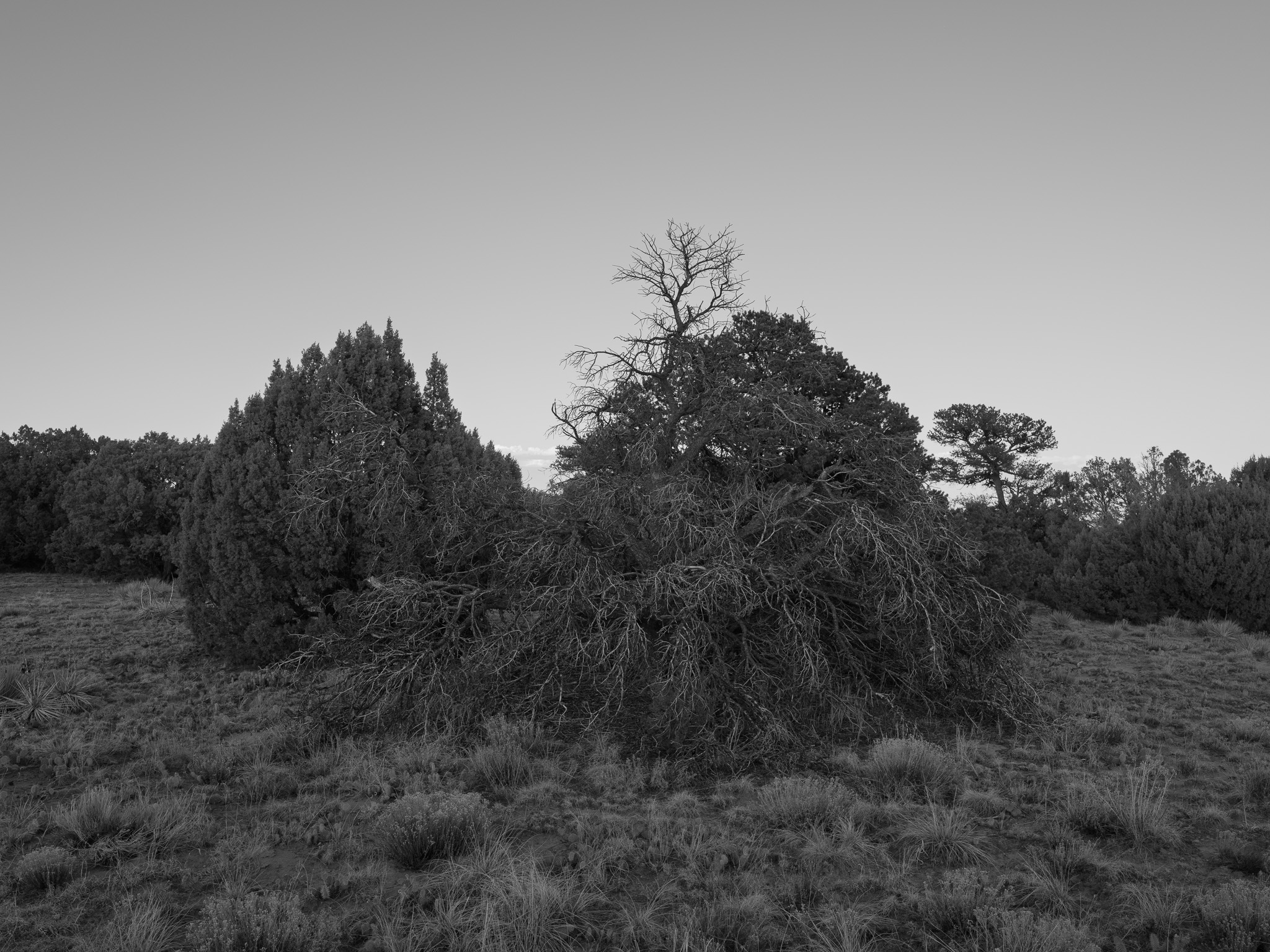
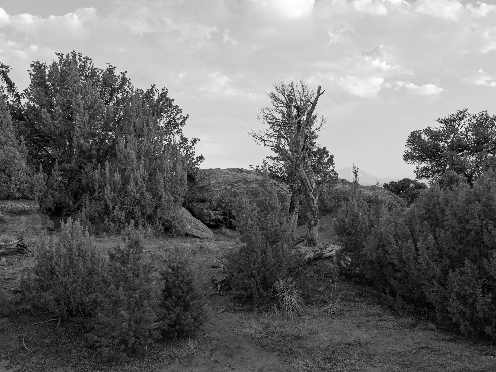
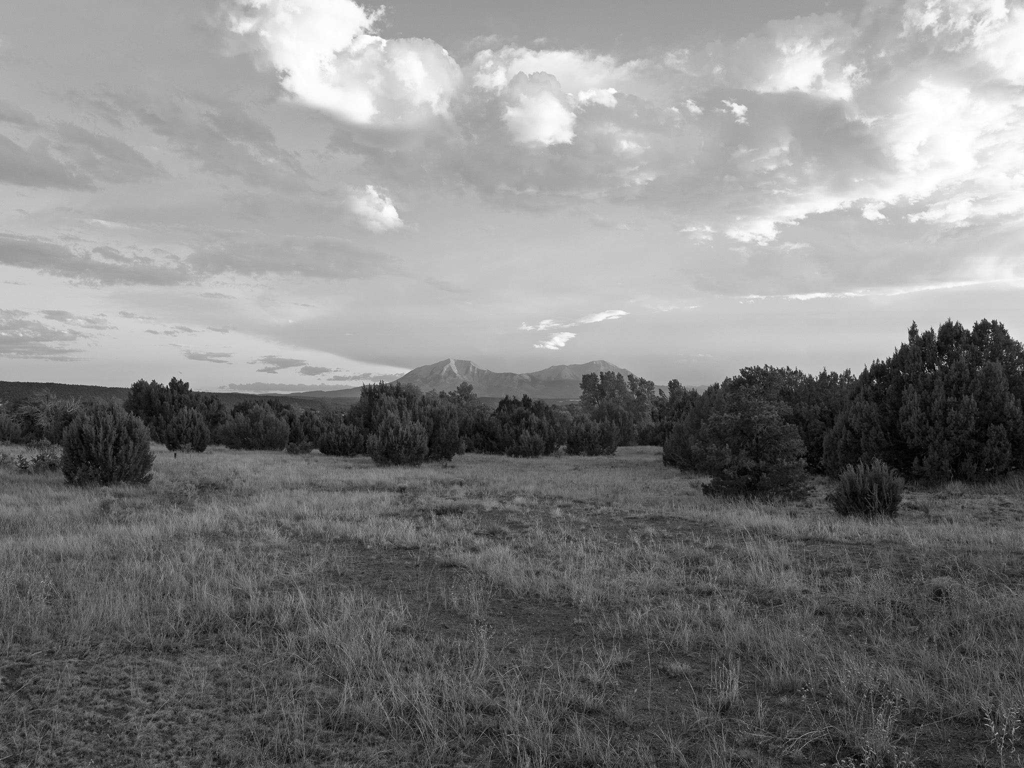
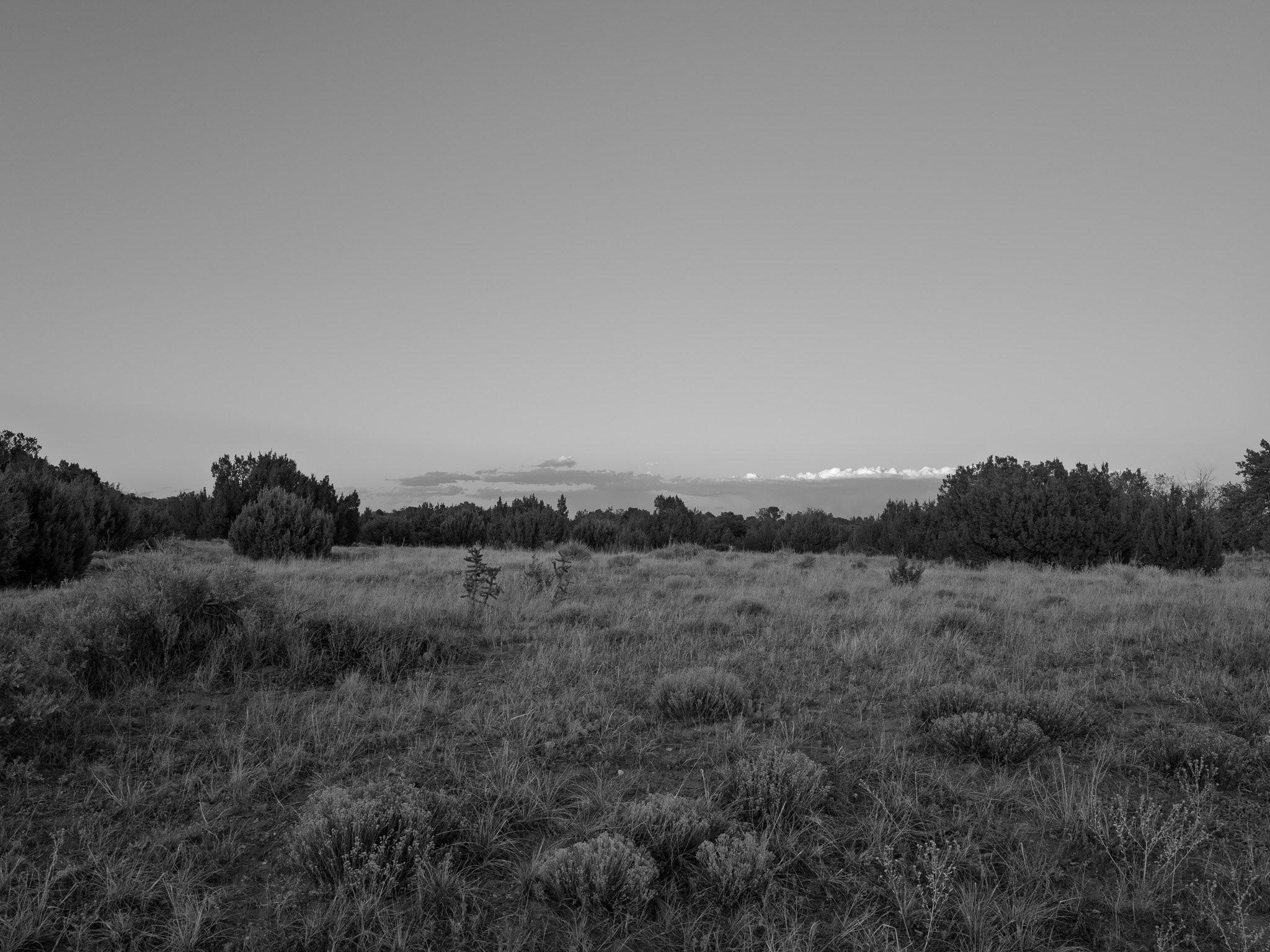
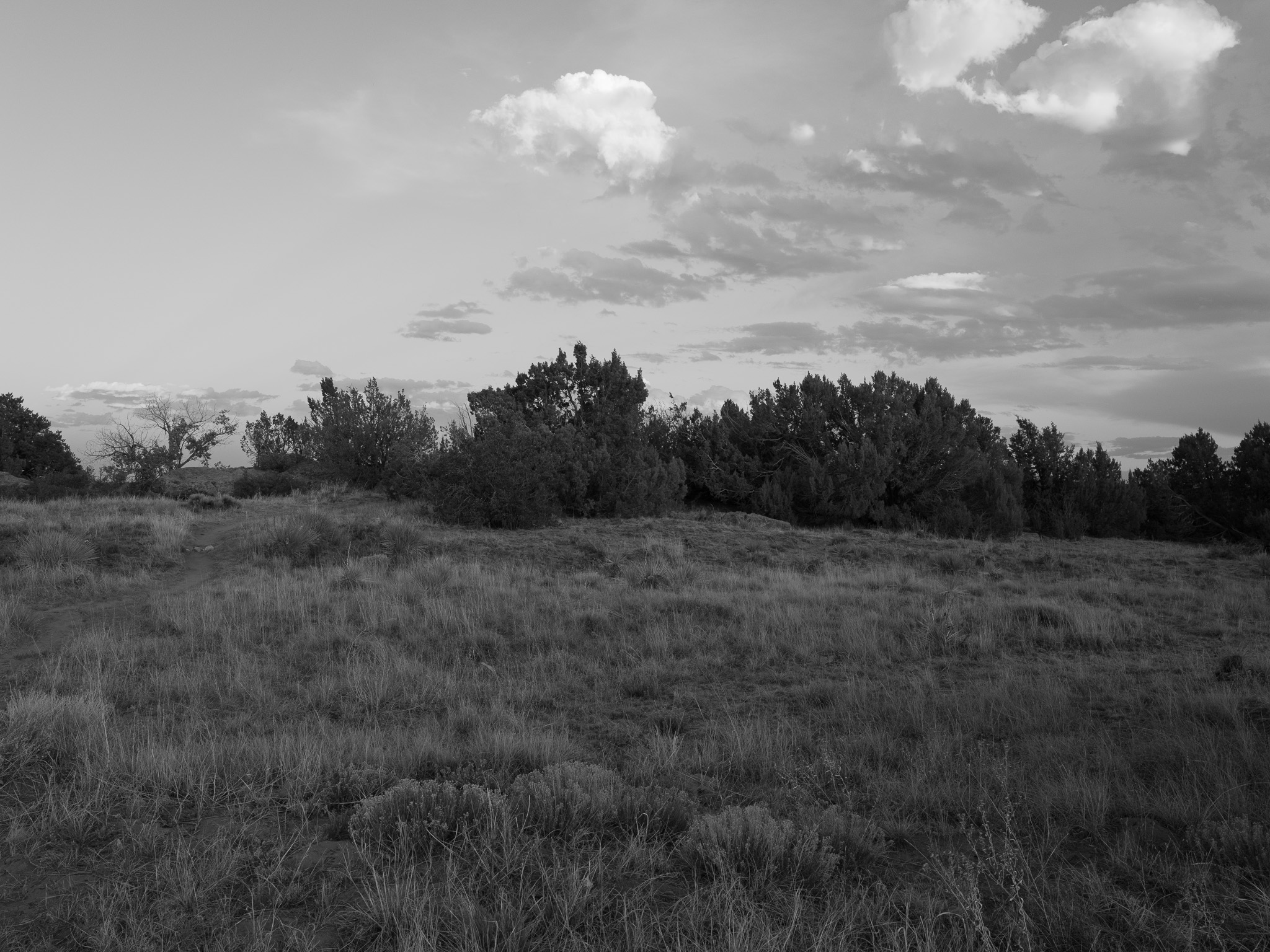
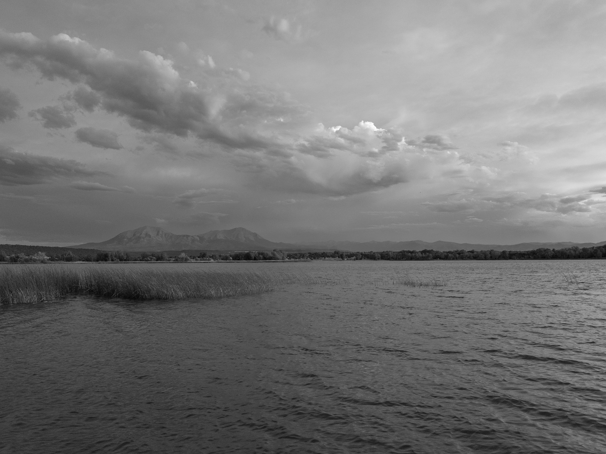
A semi-arid transition zone where short-statured Colorado pinyon (Pinus edulis) and one-seed juniper (Juniperus monosperma) woodland on the buttes and slopes meets shortgrass prairie of blue grama, western wheatgrass, purple threeawn, and sand dropseed; the shores of Martin and Horseshoe lakes add riparian and wetland habitat. Wildlife includes mule deer, pinyon jay and scrub jay, great blue heron, ruddy duck, and migrating raptors and waterfowl, with a warmwater fishery of walleye, bass, channel catfish, and bluegill alongside stocked trout.
Hydrology
Lies in the Cucharas River watershed; the two park reservoirs, Martin Lake (about 180 acres) and Horseshoe Lake, together roughly 320 acres of water, are fed by the Cucharas River flowing out of the Spanish Peaks. The Cucharas is a tributary of the Huerfano River, which joins the Arkansas and ultimately the Mississippi; the lakes hold irrigation storage and attenuate flood peaks on this semi-arid plain.