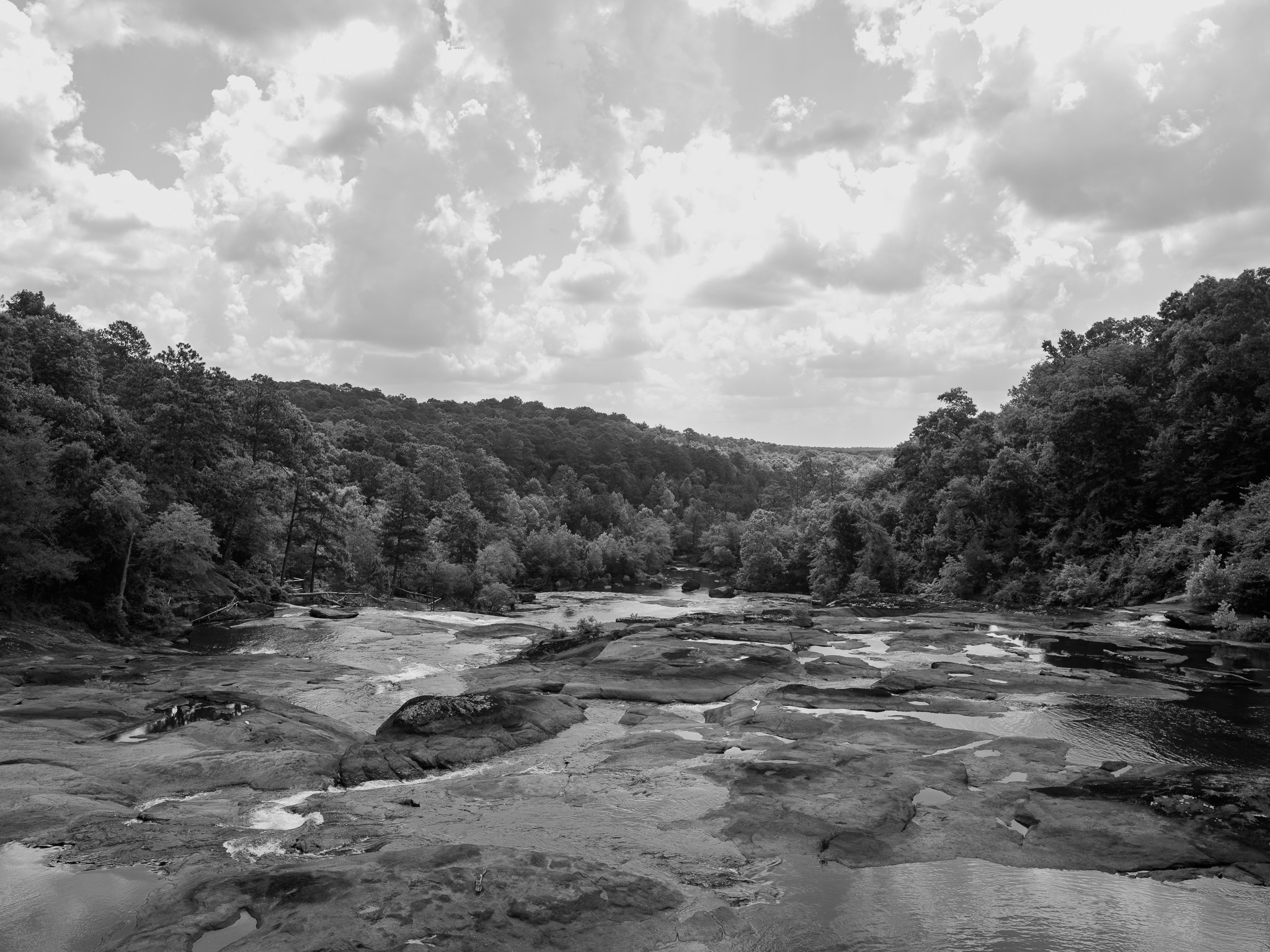
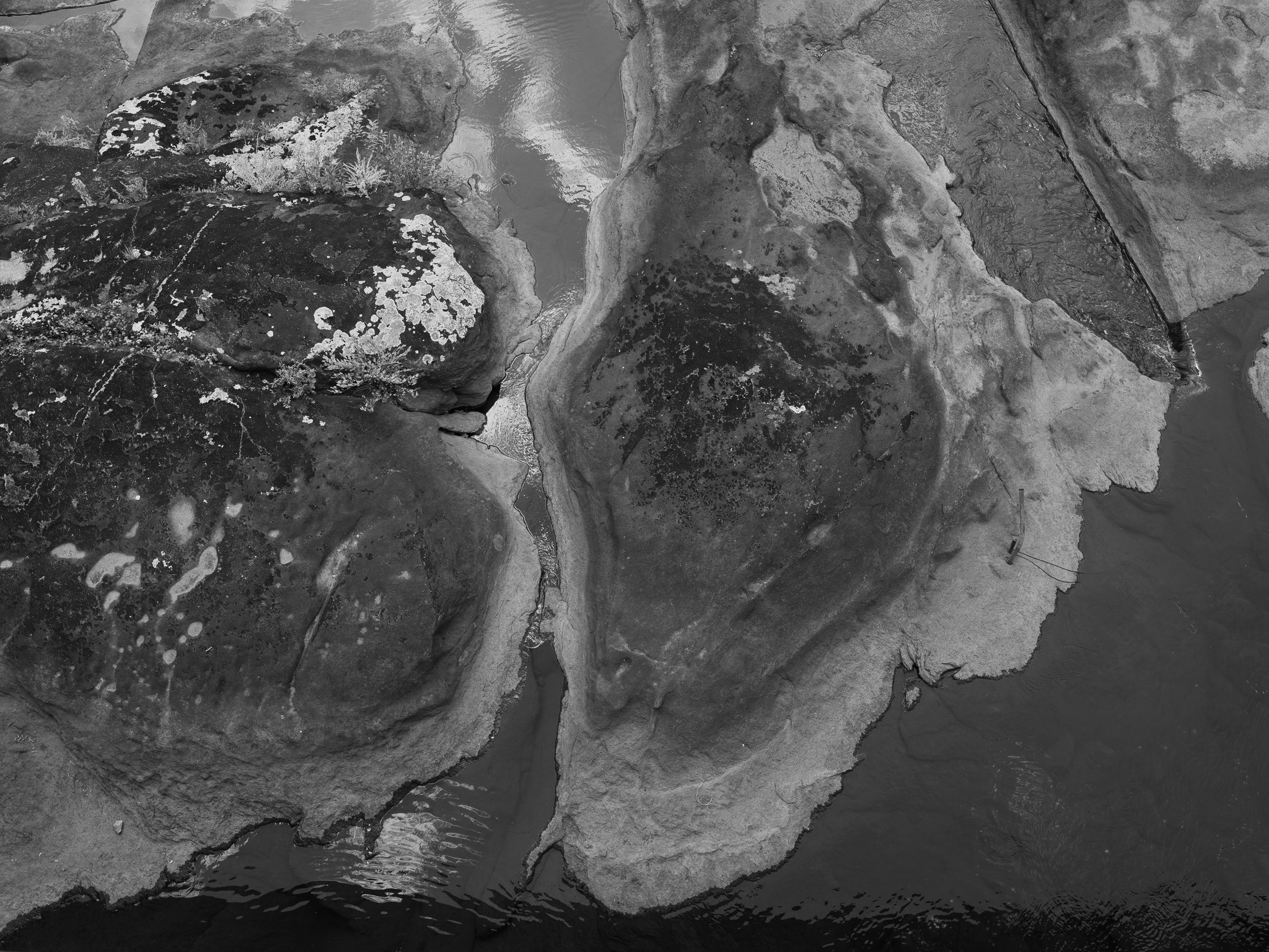
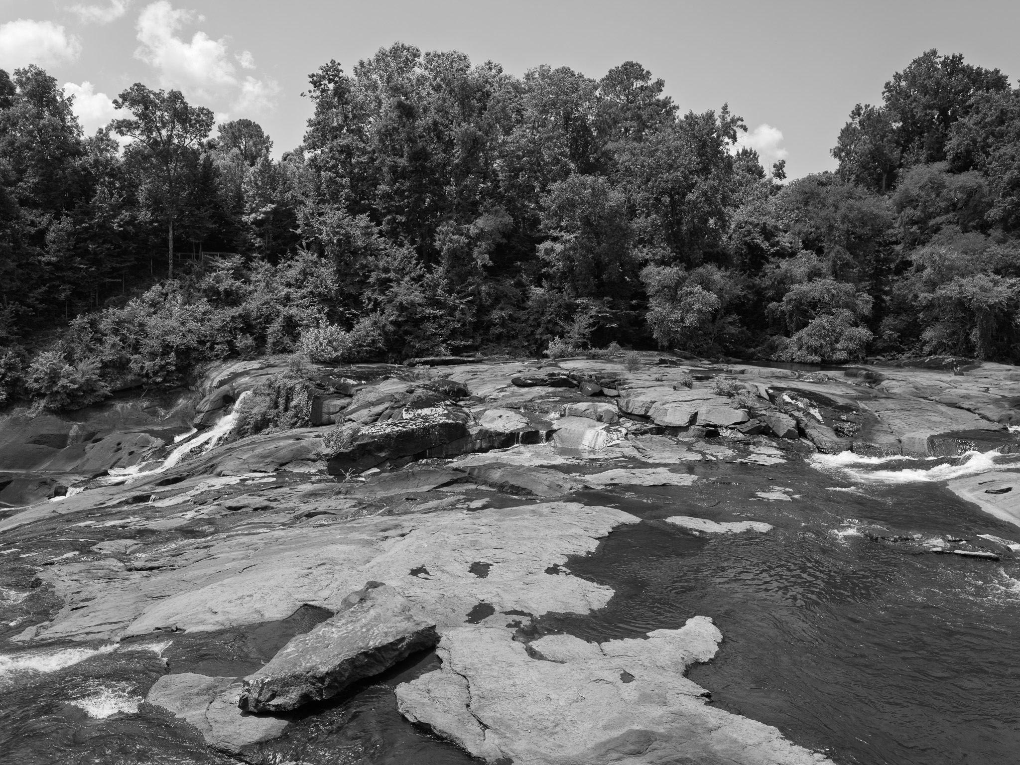
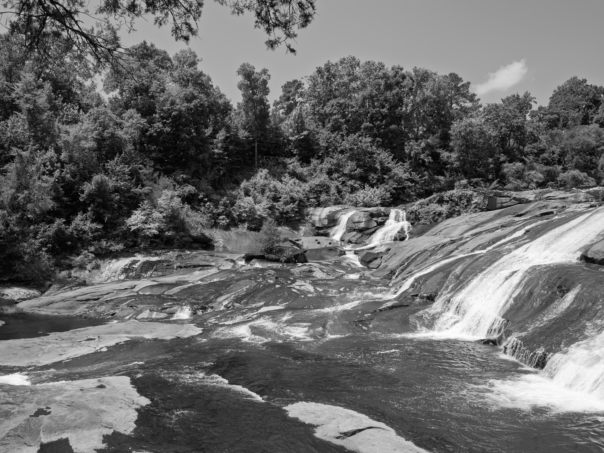
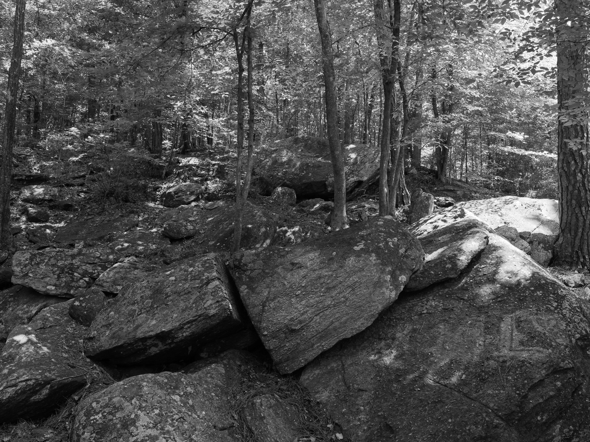
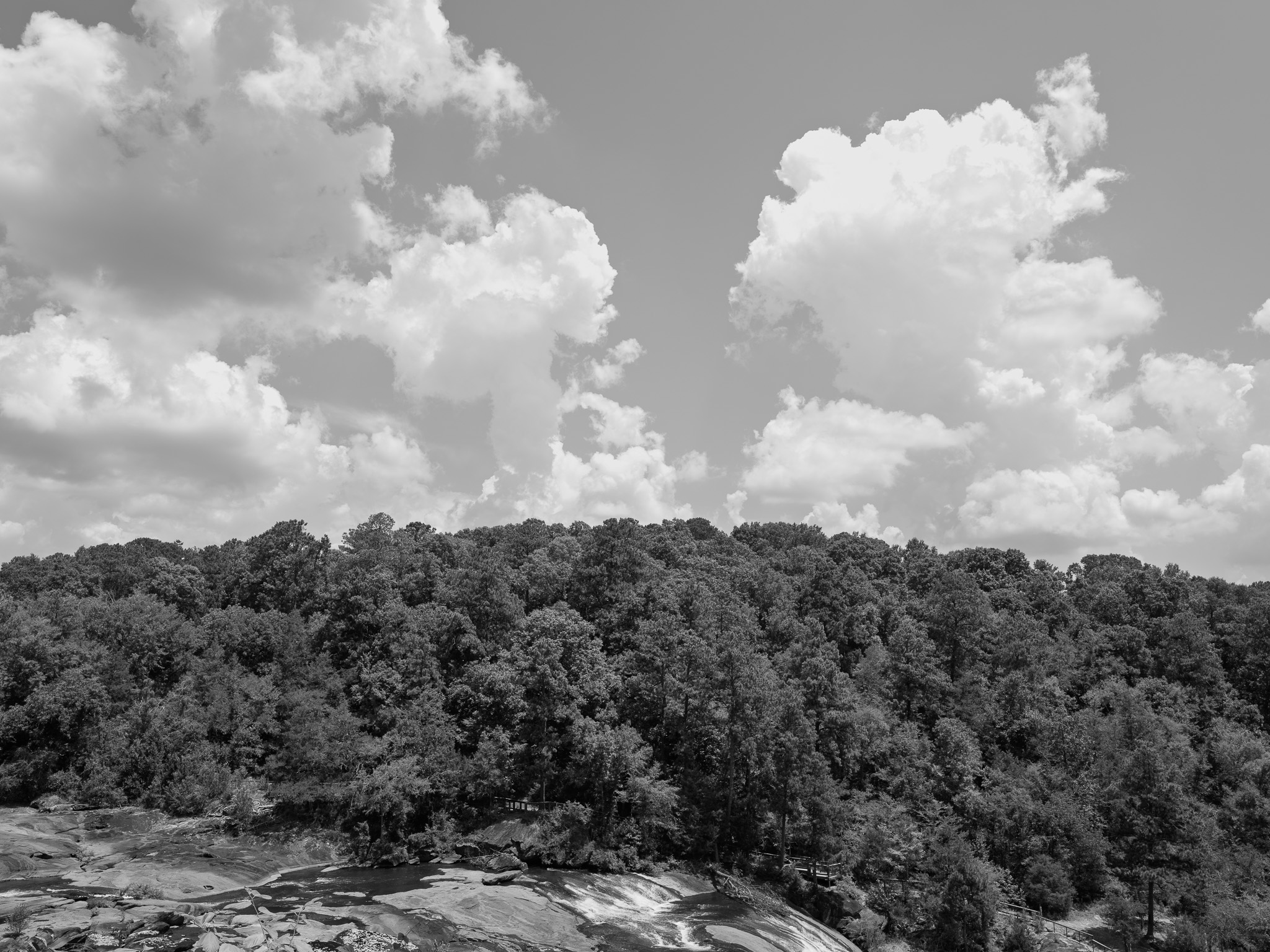
~300 Mya Pennsylvanian igneous intrusion (High Falls Granite, Cedar Rock Complex), Piedmont crystalline rock exposed at the fall line
Epoch
Pennsylvanian (Alleghanian orogeny)
Muscogee (Mvskoke) confederacy; Hitchiti-speaking Okmulgee towns historically situated between the Towaliga River and Walnut Creek; the river name Towaliga derives from the Itsate-Creek "towalika," a hewn wooden bench; Ocmulgee River corridor was Muscogee heartland until the Yamasee War of 1715 destroyed Okmulgee Town; ceded via Treaty of Indian Springs (1821, lands east of the Flint River) and the second Treaty of Indian Springs (1825), the latter signed by Muscogee leader William McIntosh, who was executed by his own nation months later for the unauthorized cession
Displacement & Tenure
Cession: Treaty of Indian Springs (1821), ceding Creek lands including the future Monroe County (organized May 15, 1821 directly from this cession); reinforced by the second Treaty of Indian Springs (1825), ceding virtually all remaining Muscogee land in Georgia. Site tenure: a gristmill built in 1827 grew under T.S.M. Bloodworth into a mill village with sawmills, cotton gins, and other industry; Confederate forces burned the mill in November 1864, and Bloodworth rebuilt it, but the Panic of 1873 ruined him financially and the village was abandoned. Captain Seaton Grantland's Towaliga Falls Power Company built a hydroelectric dam here, completed in 1904; the property passed to Georgia Hydroelectric Company in 1925, then to Georgia Power Company in 1930, which operated it until 1958. Hiwassee Land Company, a subsidiary of Bowaters Paper Corporation, acquired the property in 1961, timbered it, auctioned off the old gristmill, and donated the lake and surrounding land to the Georgia Game and Fish Commission on July 19, 1961; the commission ran it as an experimental park before transferring it to the State Parks Division, which formally established High Falls State Park in 1966.
Shadow History
The mill village the park interprets as industrial heritage stood inside a slave economy: in 1860 more than 10,000 enslaved people lived in Monroe County, close to two thirds of the county's total population, and the cotton they raised is what the High Falls gins and mills processed. Confederate cavalry under Wheeler burned the Bloodworth mill in November 1864 as Kilpatrick's Union column moved through on Sherman's March to the Sea, destroying roughly $2,000 worth of stored corn, wheat, meal, and flour and killing seventy hogs on the spot. No roster naming the enslaved people who worked the High Falls mills has been located in accessible public records. Georgia's state park system was still racially segregated when the Game and Fish Commission received this property in 1961, the state running separate Black-only parks including Yam Grande near Swainsboro; High Falls was not formally established as a state park until 1966, after the system opened.
Ecology
Piedmont hardwood forest with boulder-strewn riverine bluffs along the Towaliga River gorge; mixed hardwoods and understory wildflowers and fungi typical of the fall-line Piedmont.
Hydrology
Towaliga River (52.3 mi tributary of the Ocmulgee River), Upper Ocmulgee and Altamaha basin; the falls drop about 135 feet over exposed granite and gneiss at the fall line; a dam (completed 1904) impounds the 650-acre High Falls Lake.