Public Lands Institute
Map
Images
Archive
About
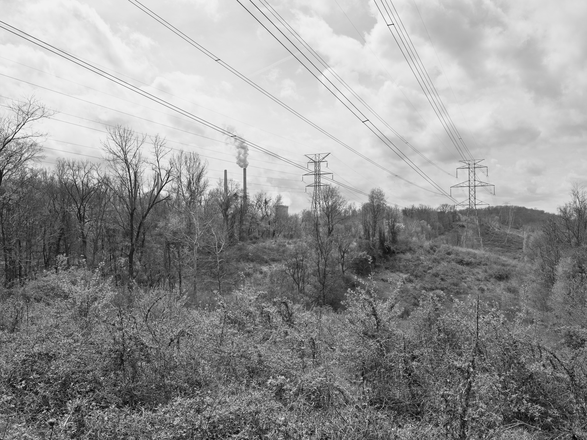
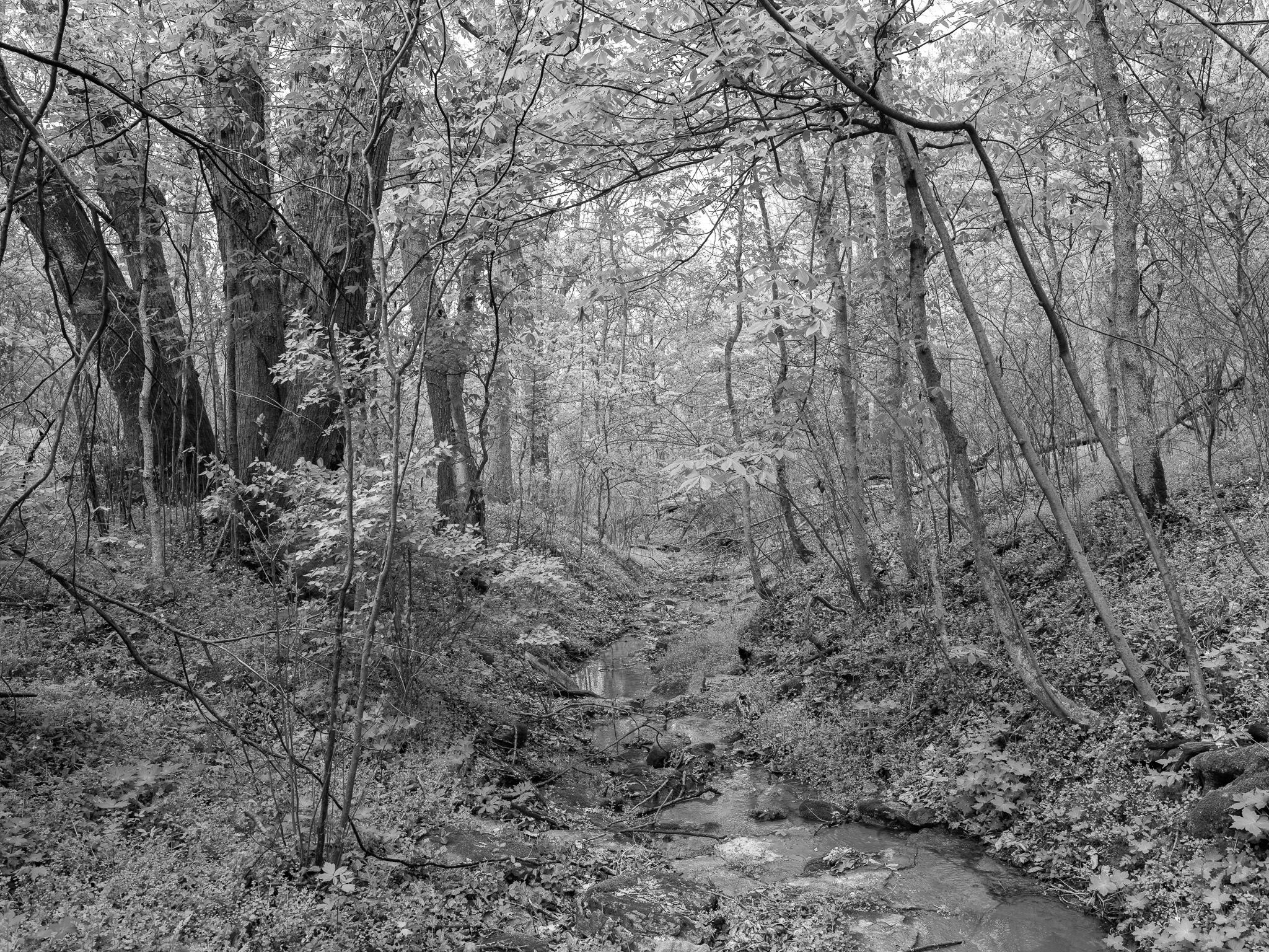
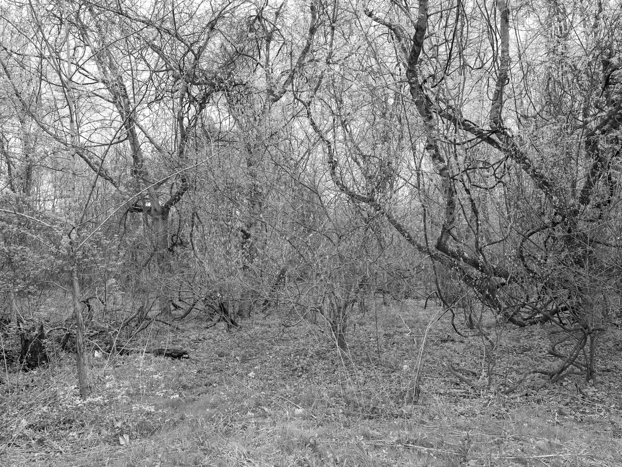
Shawnee Lookout
OH
Shawnee Lookout 1 · 2026-04-03
_DSF1168.jpg
Shawnee Lookout 2 · 2026-04-03
_DSF1174.jpg
Shawnee Lookout 3 · 2026-04-03
_DSF1193.jpg
Shawnee Lookout 4 · 2026-04-03
_DSF1195.jpg
Shawnee Lookout 5 · 2026-04-03
_DSF1201.jpg
View all 5 images →
← Caesar Creek State Park
Fernald Preserve →