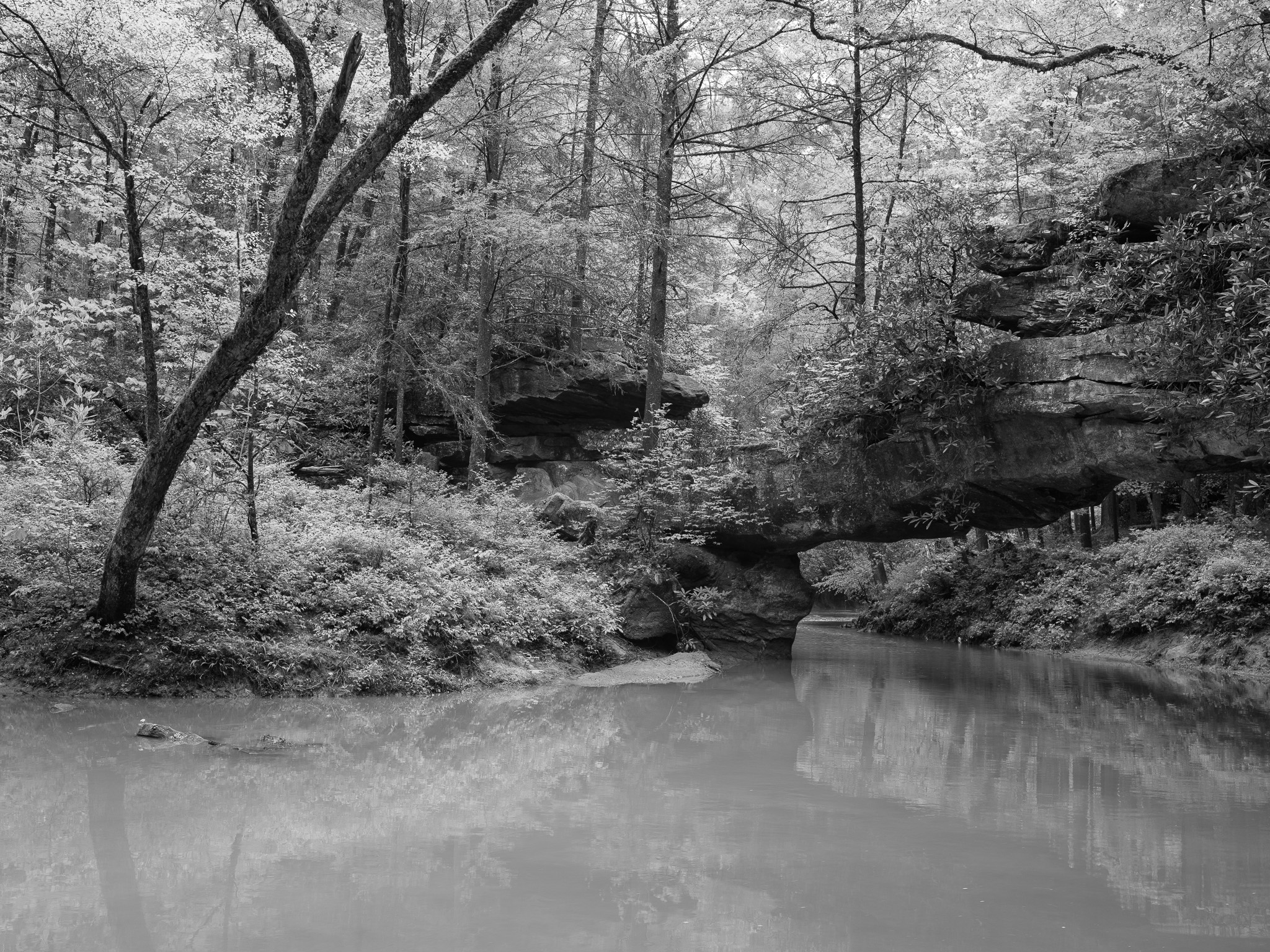
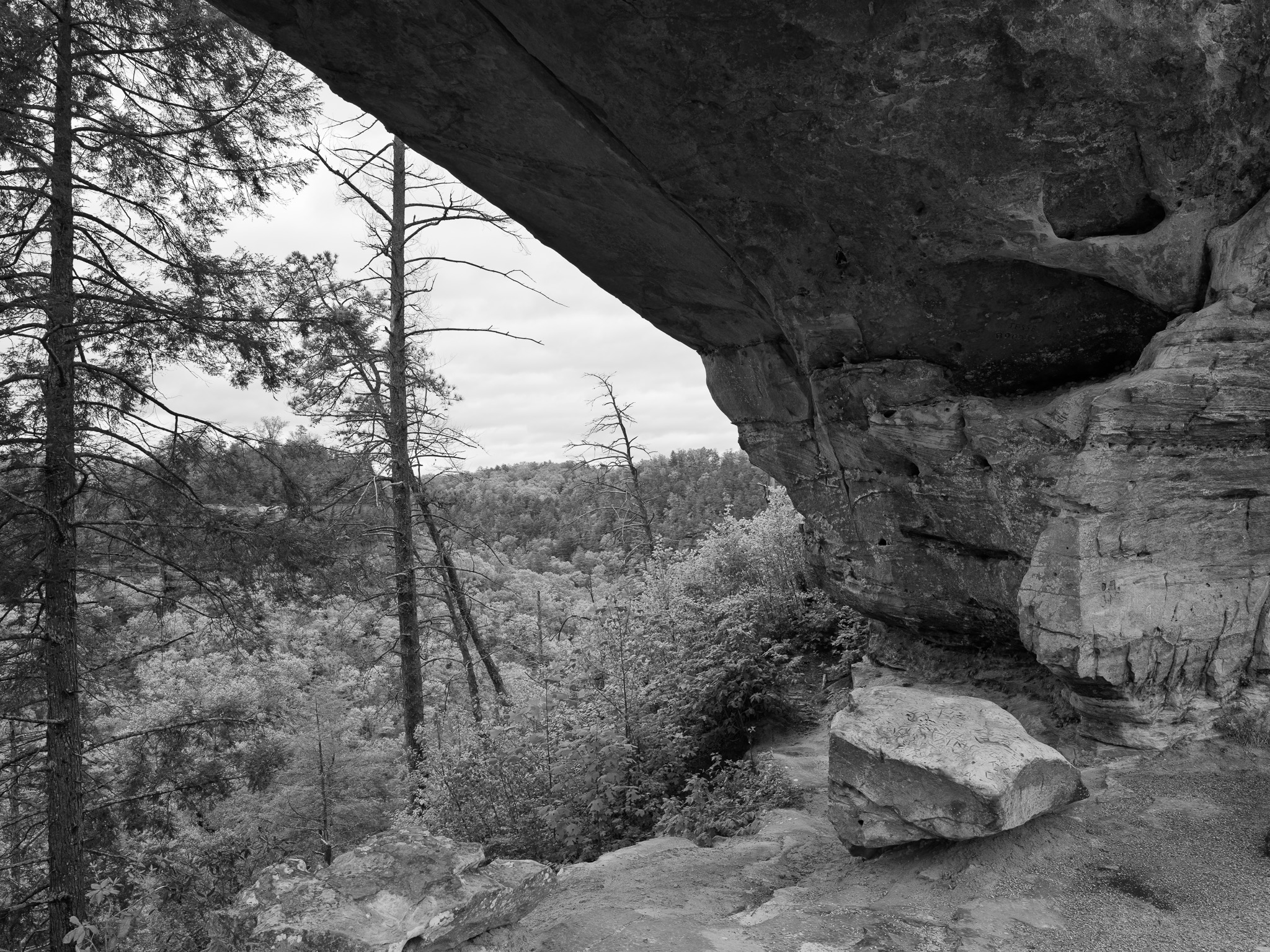
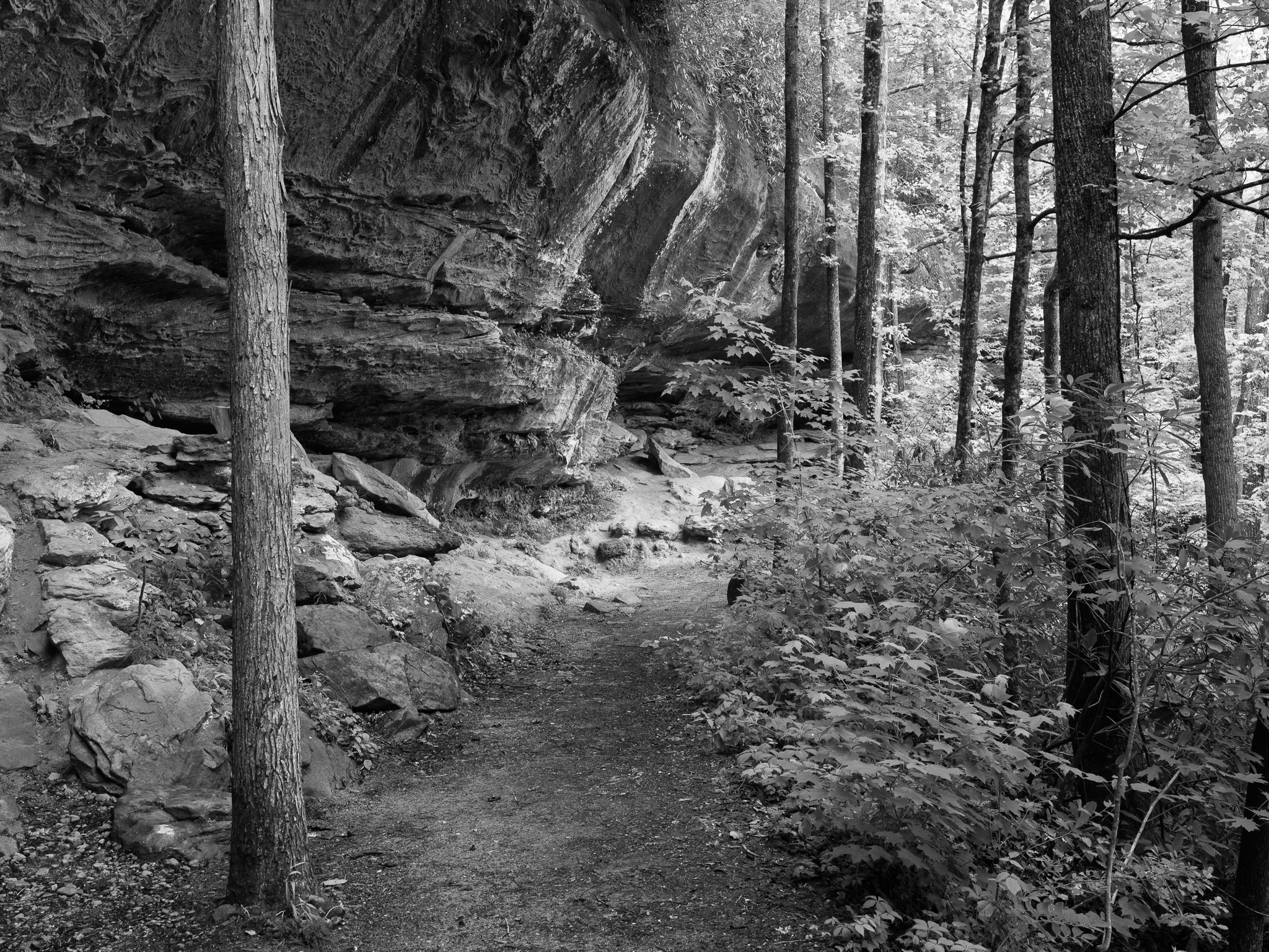
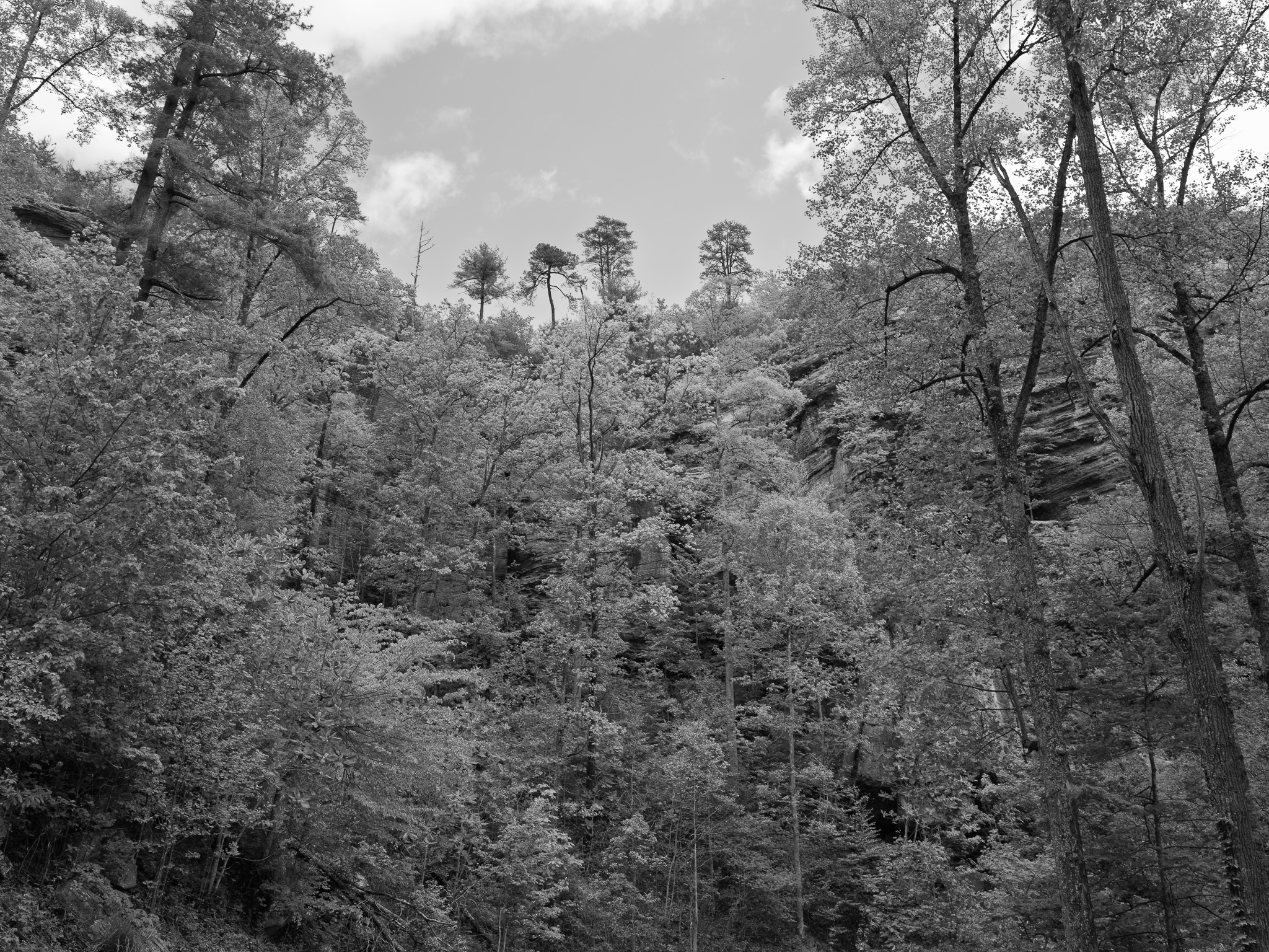
Geological age ~310 Mya Pennsylvanian Corbin Sandstone (Grundy Formation, Pottsville Escarpment); deposited in marine and deltaic river delta environments beginning ~340 Mya; prominent iron-oxide Liesegang banding; over 100 natural sandstone arches, highest concentration east of the Mississippi River.
Epoch Early Pennsylvanian (Morrowan).
Native lands Paleoindian peoples first documented in gorge rock shelters c. 10,000 BC; continuous occupation through Archaic and Woodland periods (~12,000 years total); 664 known prehistoric and historic sites including some of the earliest evidence of plant domestication in eastern North America; Tsalagi (Cherokee) held eastern Kentucky as territorial range in the historic period; Shawandasse Tula (Shawanwaki/Shawnee) ranged throughout central Kentucky as a shared hunting corridor; Kentucky was contested hunting ground, not permanently settled by any single nation in the historic period; Cherokee ceded eastern Kentucky via Treaty of Hard Labor (October 1768) and Treaty of Lochaber (October 18, 1770); Shawnee resistance continued through the 1790s, with territorial claims extinguished via Treaty of Greene Ville (August 3, 1795).
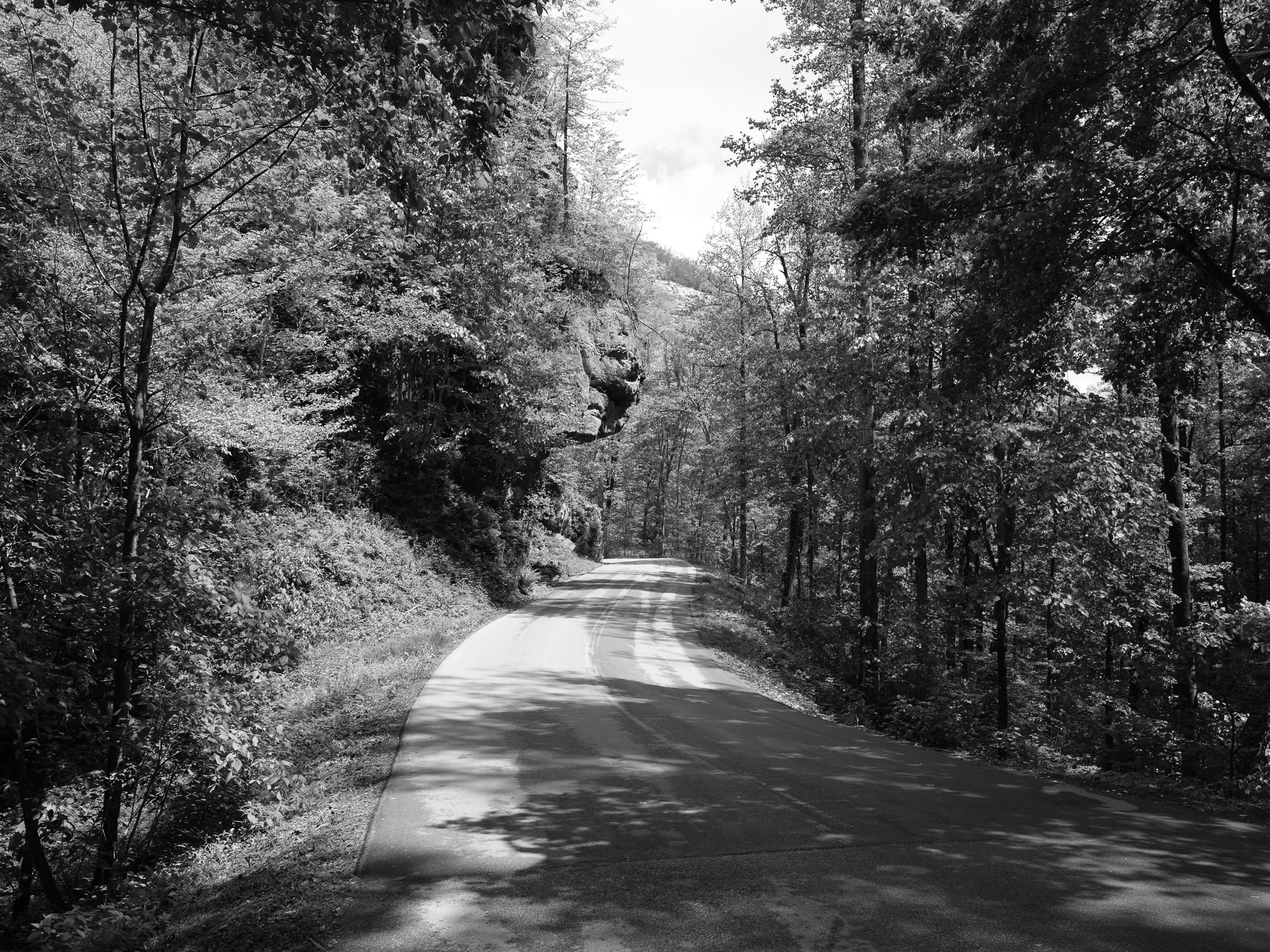
Displacement & Tenure Eastern Kentucky is outside the federal-domain Royce cession system. Cherokee ceded eastern Kentucky via Treaty of Hard Labor (October 1768) and Treaty of Lochaber (October 18, 1770), extending the colonial boundary to the Kentucky River; Henderson's Transylvania Purchase (March 17, 1775) from Overhill Cherokee chiefs at Sycamore Shoals asserted private title but was voided by Virginia (1778) and North Carolina; Virginia created Kentucky County 1776 and enacted the Virginia Land Act 1779, opening eastern Kentucky to land warrants and grants; Kentucky statehood 1792; Daniel Boone National Forest lands assembled by USFS via purchase under the Weeks Act beginning 1916; Red River Gorge Geological Area designated by the USFS 1974.
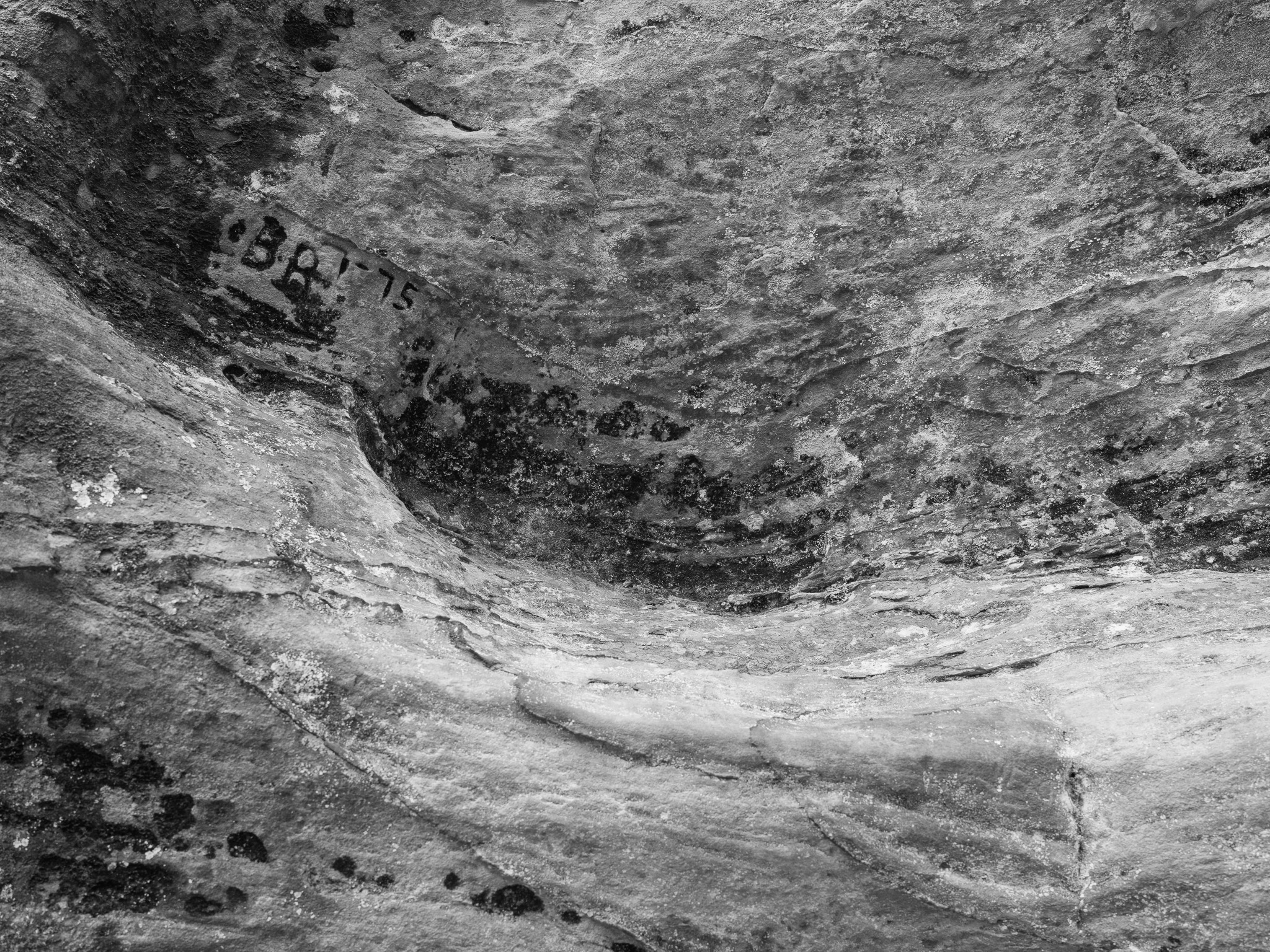
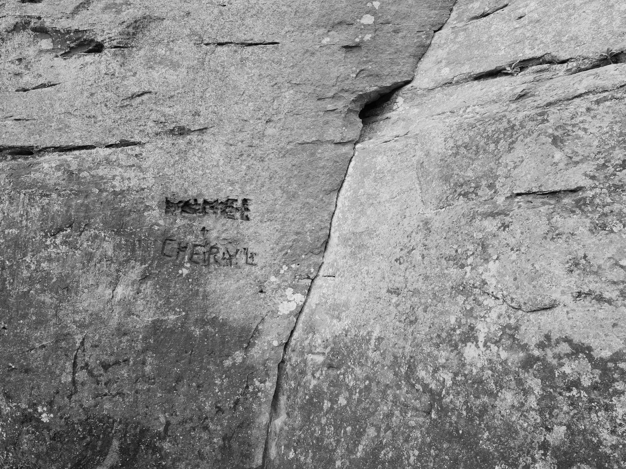
Shadow History Congress authorized an Army Corps of Engineers dam project on the Red River in 1962 following that year's Great Flood of Clay City; the proposed dam would have flooded 2,100 acres, covering two-thirds of the gorge and destroying more than half of its plant and animal life; Sierra Club-organized opposition mounted a November 18, 1967 Dam Protest Hike through Clifty Wilderness led by Supreme Court Justice William O. Douglas with over 600 participants that drew national press coverage; two separate dam sites were proposed over the following decades; archaeological looting of rock shelters throughout the 20th century destroyed stratigraphic context at sites containing some of the earliest evidence of plant domestication in eastern North America; by 1990 all rock shelters in the gorge containing both white-haired goldenrod and Indian artifacts had been pillaged by looters; Solidago albopilosa was federally listed as threatened in part because looting-related disturbance uprooted the plant's stolons and seeds; the logging-era Nada Tunnel (1910-1912), a 900-foot passage blasted through sandstone for a narrow-gauge railroad, killed at least one worker during construction; the dam controversy concluded December 3, 1993 when President Clinton signed the Red River into the National Wild and Scenic River system.
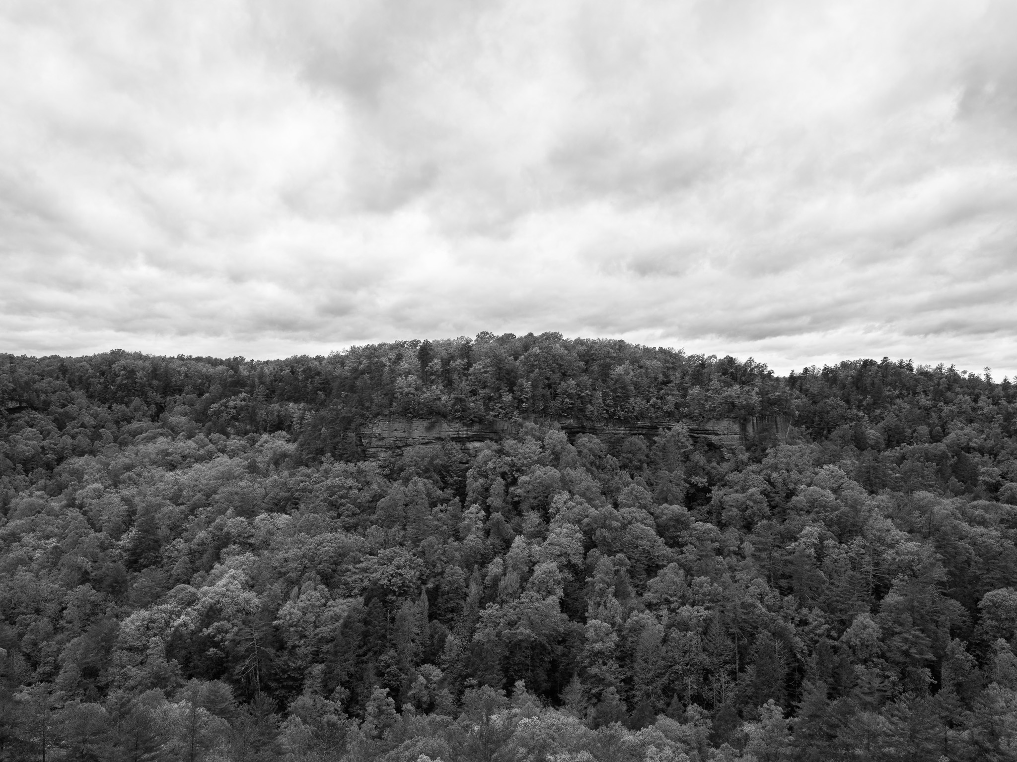
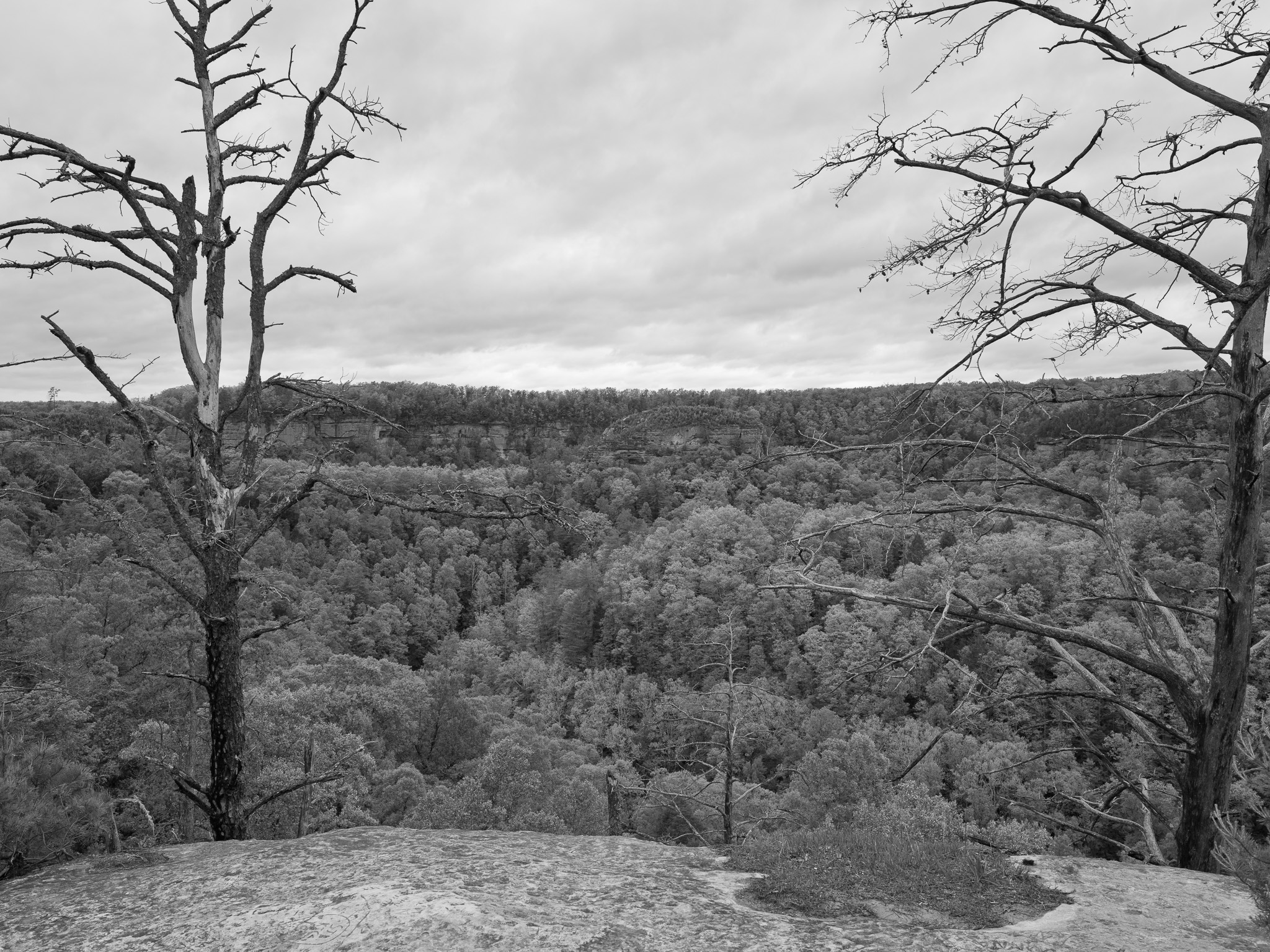
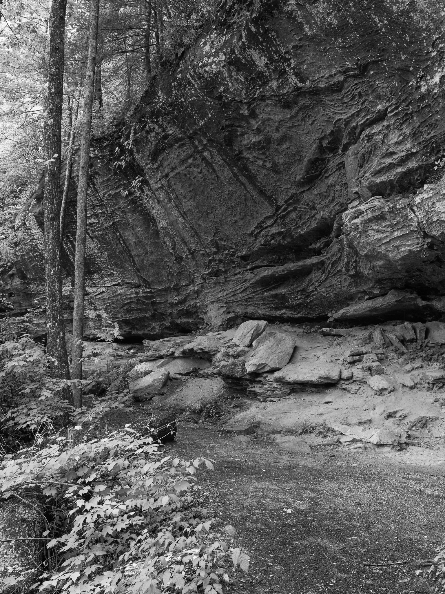
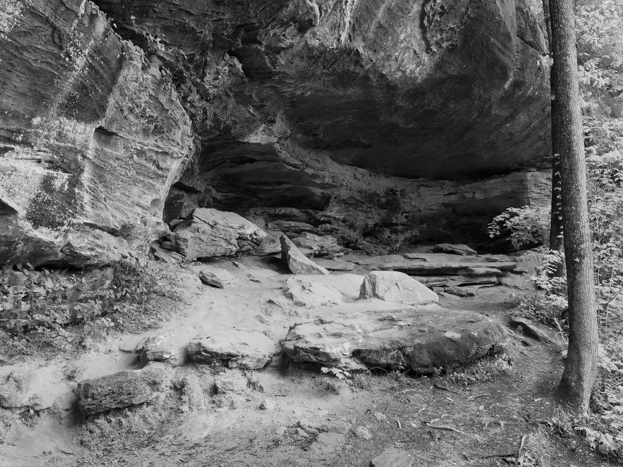
Ecology Mixed mesophytic forest on Pennsylvanian sandstone with diverse rock shelter microhabitats; Solidago albopilosa (white-haired goldenrod), an endemic found nowhere else on Earth, grows exclusively on sandstone ledges and rock shelter floors within the gorge; Canadian-origin relict flora in sheltered canyons includes purple fringed orchid (Platanthera grandiflora), Canada yew (Taxus canadensis), and Canada lily (Lilium canadense); black bear, timber rattlesnake (Crotalus horridus), and copperhead documented.
Hydrology Red River drains the gorge through Powell, Wolfe, and Menifee counties before joining the Kentucky River; 19.4-mile section designated National Wild and Scenic River (December 3, 1993) and Kentucky Wild River; Swift Camp Creek and unnamed tributaries upstream of the gorge listed as impaired by Kentucky Division of Water due to sedimentation and loss of riparian vegetation.
Acreage 29,000
GPS 37.8339° N, 83.6078° W
Red River Gorge Geological Area I · 2026-04-28
_DSF1505.jpg
View all 11 images
← St. Anne's Woods and Wetlands
Seip Earthworks →
Public Lands Institute — ongoing project
CC0 Public Domain