Geology
~130,000 to 80,000 years ago Late Pleistocene barrier and back-barrier sands of the Wando Formation (equivalent to the Princess Anne and Pamlico terraces), laid down as fluctuating interglacial sea levels built and reworked the string of sea islands around Port Royal Sound
Epoch
Late Pleistocene (Wando Formation, Princess Anne/Pamlico terraces)
Native lands
Escamacu, a town of the Cusabo confederation (a coastal alliance of Kussoe, Edisto, Kiawah, and Etiwan towns along the Ashley, Edisto, Combahee, and Coosawhatchie rivers), held the barrier islands around Port Royal Sound including Hilton Head and Pinckney Island at English contact in 1670; Spanish missions and slave raids had already thinned the Cusabo through the 1600s, and the Yamasee (Yemassee), refugees from the Guale and Mocama missions who resettled along the Combahee and Savannah under English sponsorship, occupied the vacated Port Royal district as Carolina's trading and hunting partners until the Yamasee War of 1715 to 1717 drove them and the remaining Cusabo south into Spanish Florida
Displacement & Tenure
No Royce cession applies; South Carolina's Lowcountry was never ceded by federal treaty. Title passed instead through the 1663 Carolina Charter, in which Charles II granted the Lords Proprietors all land between 31 and 36 degrees north latitude without regard to Cusabo or Yamasee occupancy; the Yamasee War of 1715 to 1717 was the operative act of dispossession, clearing the sea islands for unrestricted English land grants. Charles Pinckney acquired the islands in 1736, and the property passed to his son, General Charles Cotesworth Pinckney, who by 1818 held roughly 200 enslaved people producing Sea Island cotton across the Crescent, Old Place, and Point plantations; the enslaved population grew to about 300 by 1840. Union occupation freed the plantation's enslaved population in 1861 to 1862. Rather than passing to formerly enslaved families under Reconstruction land redistribution, as happened at nearby Mitchelville on Hilton Head, the depressed postwar plantation stayed under Pinckney family and heir ownership until 1937, when it was sold outright to Ellen and James Bruce of New York as a private hunting preserve; Edward Starr and James Madison Barker continued that exclusive use after purchasing the islands in 1954. The Starr and Barker interests donated the property to the U.S. Fish and Wildlife Service on December 4, 1975, and it opened to public access in 1985.
Shadow History
A Confederate raid on August 21, 1862 hit the camp of Company H, Third New Hampshire Volunteers on Pinckney Island, killing four Union soldiers; five headstones of United States Colored Troops in a cemetery on the island's northwest side mark soldiers the Army recruited from the plantation's newly freed population, men fighting for the Union on the same ground where they had been held in bondage. Just across Skull Creek on Hilton Head, over 10,000 people freed by the Union occupation built Mitchelville, the first self-governed town of formerly enslaved people in the United States, in 1862. Pinckney Island saw no equivalent: the plantation and its cotton fields remained under Pinckney family and heir title through the postwar decades, then passed in 1937 not to descendants of the people who had worked it but to a New York banking family as a private hunting preserve, and again in 1954 to two more private owners, keeping the island closed to public or descendant access until its donation to the U.S. Fish and Wildlife Service in 1975.
Ecology
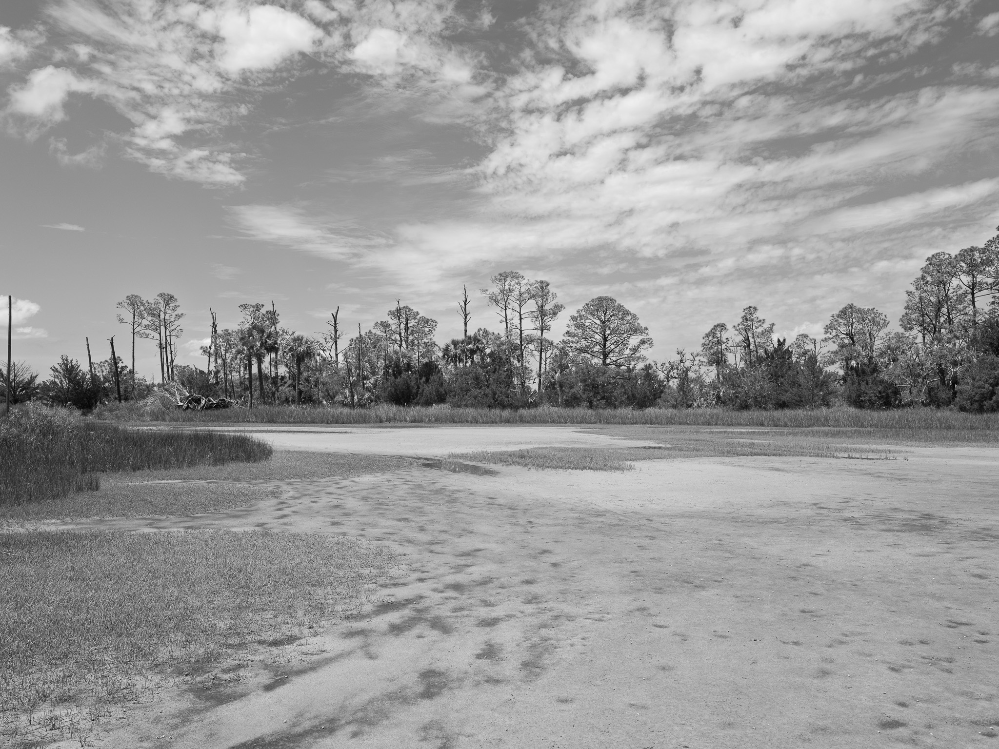
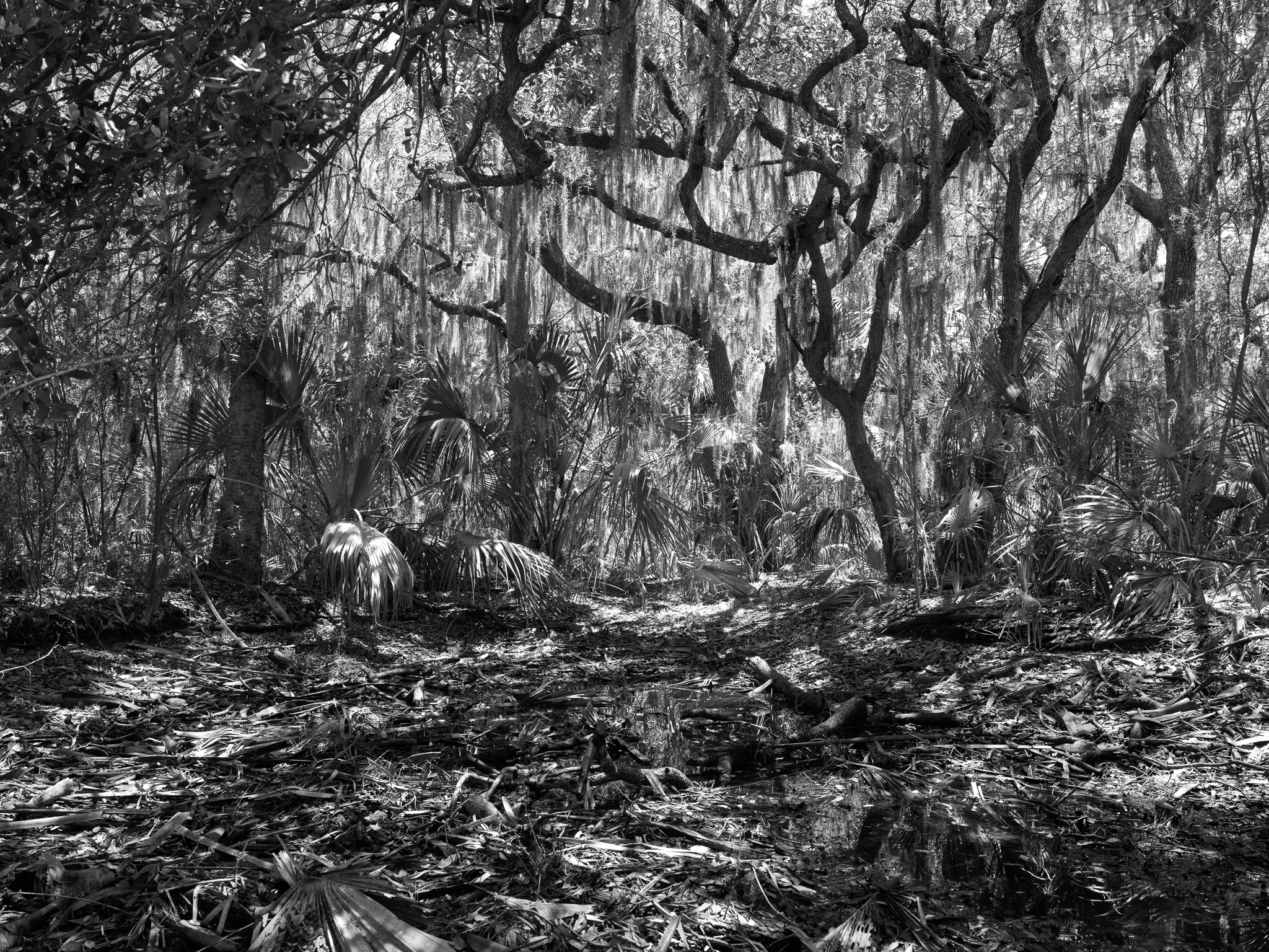
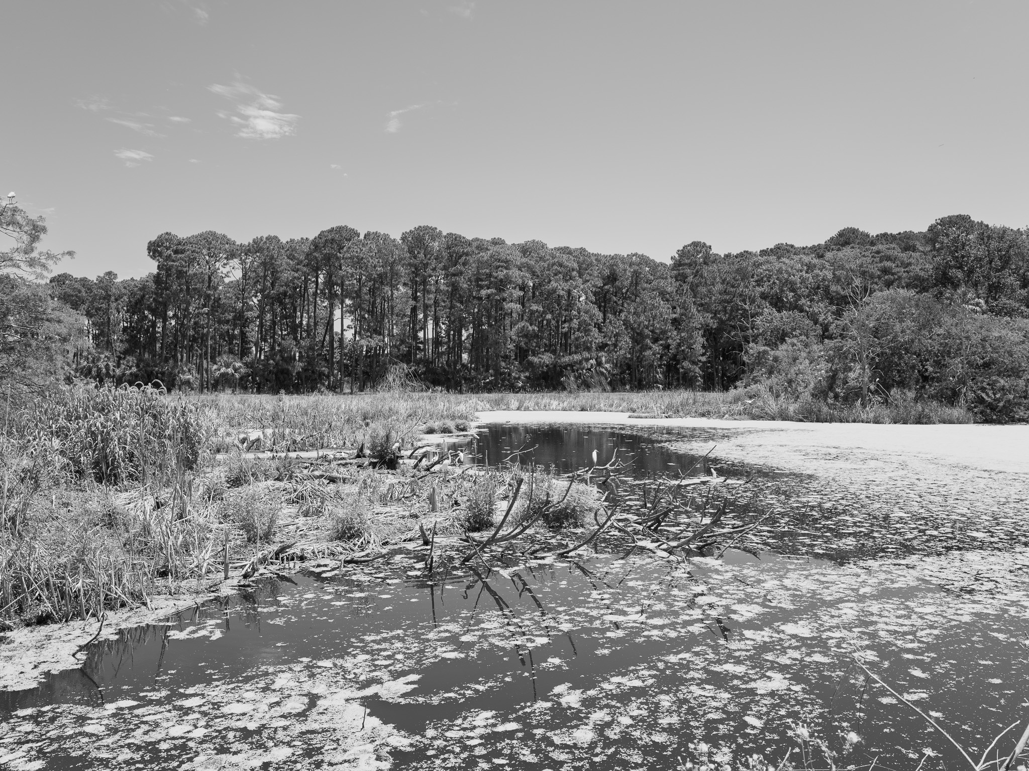
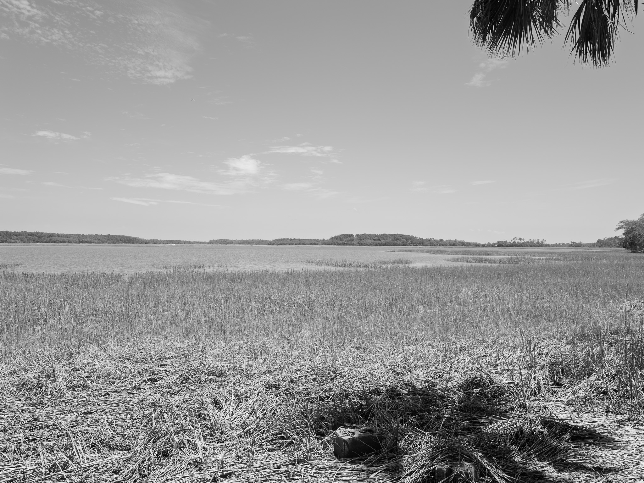
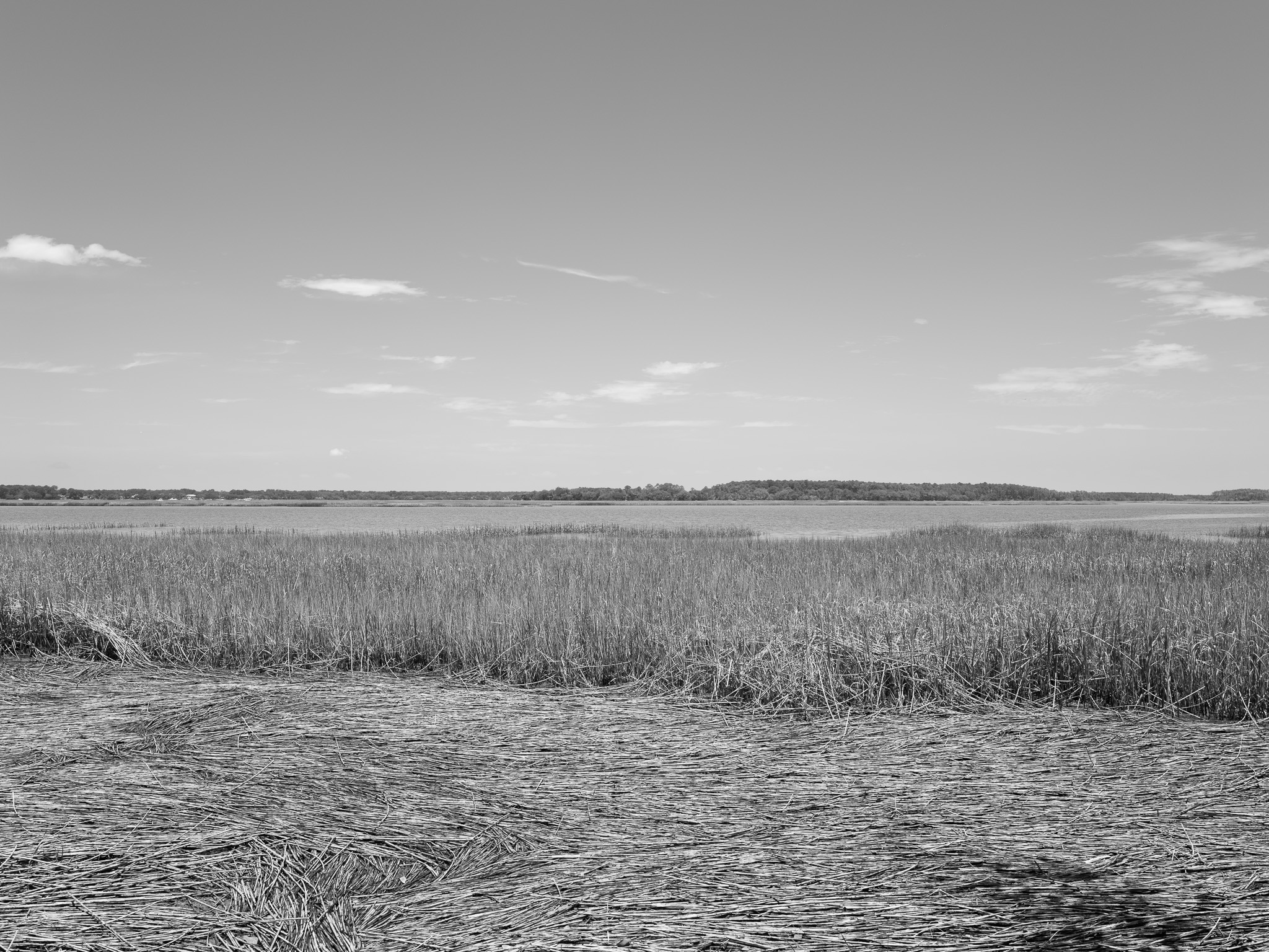
Maritime forest of live oak, cabbage palmetto, and yaupon holly on the uplands; salt marsh and tidal creeks cover nearly two-thirds of the refuge, and fallow fields and freshwater ponds built by the mid-20th-century hunting preserve draw large nesting colonies of white ibis, herons, and egrets. Painted bunting, wood stork, bald eagle, American alligator, and white-tailed deer are also present.
Hydrology
Bounded by Skull Creek (part of the Atlantic Intracoastal Waterway) to the east and Mackay Creek to the west, with its northern tip facing Port Royal Sound; the refuge sits within this tidal estuarine system rather than a freshwater watershed, supplemented by constructed freshwater ponds from its hunting-preserve era.