Oceti Sakowin (Great Sioux Nation, Seven Council Fires); the Big Sioux River and Split Rock Creek corridor lay along the boundary between Sisseton-Wahpeton Dakota territory to the east and Yankton Dakota territory to the south and west; Sisseton and Wahpeton Dakota ceded lands extending west to the Big Sioux River under the Treaty of Traverse des Sioux (1851), while Yankton Dakota retained competing claims to portions of this country until the Yankton Treaty of 1858 established the Yankton Sioux Reservation and extinguished Yankton title to the ceded lands to its east
Displacement & Tenure
Cession 289: Treaty of Traverse des Sioux (1851); Sisseton and Wahpeton Dakota ceded lands reaching west to the Big Sioux River, encompassing the Split Rock Creek country near present-day Garretson; Yankton Dakota's competing claims to portions of this region were not resolved until the Yankton Treaty (1858), which established the Yankton Sioux Reservation and formally extinguished Yankton title to lands ceded east of the reservation
Shadow History
A quartzite quarry opened near Garretson in the early 1890s, drawing on the same Sioux quartzite formation sacred to Dakota quarrying traditions at Pipestone, and supplied stone for the town's banks, opera house, and stores; Split Rock Park, the predecessor to Palisades State Park, began as a Works Progress Administration project in the 1930s, when laborers built a dam, bathhouse, and bridge from quarried quartzite that remain in the park today; a brief 1886 silver rush drew nearly 300 mining claims before collapsing when the ore proved low grade
Hydrology
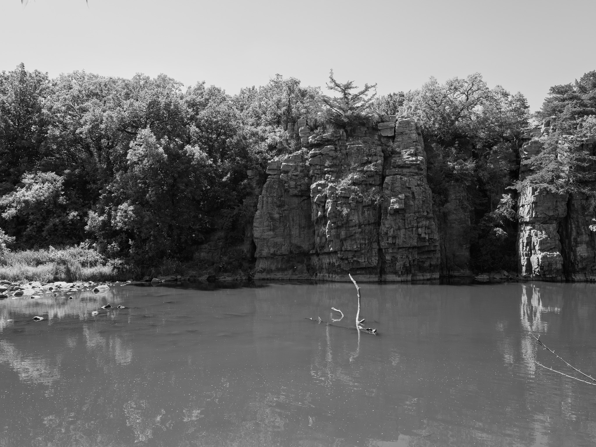
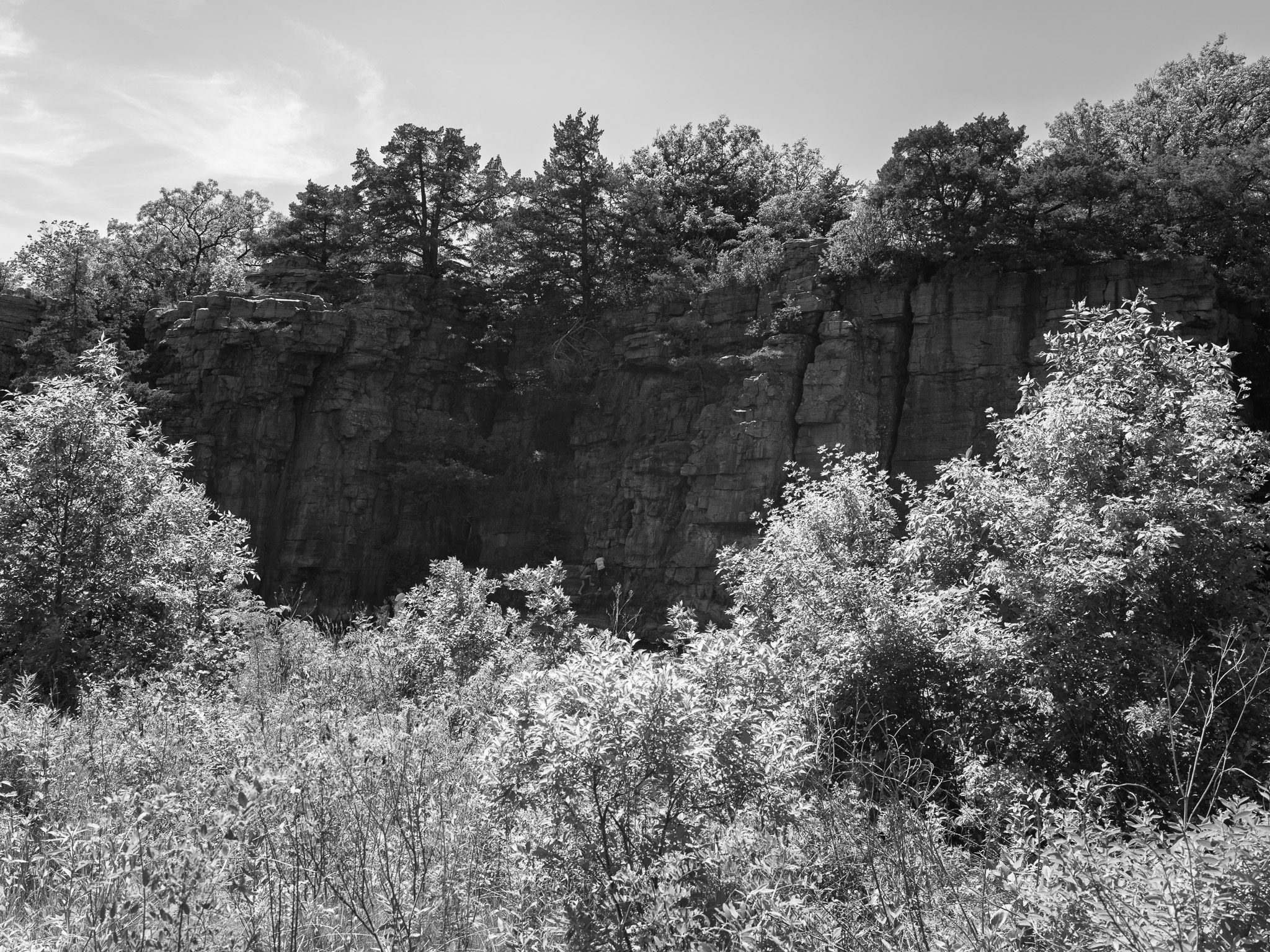
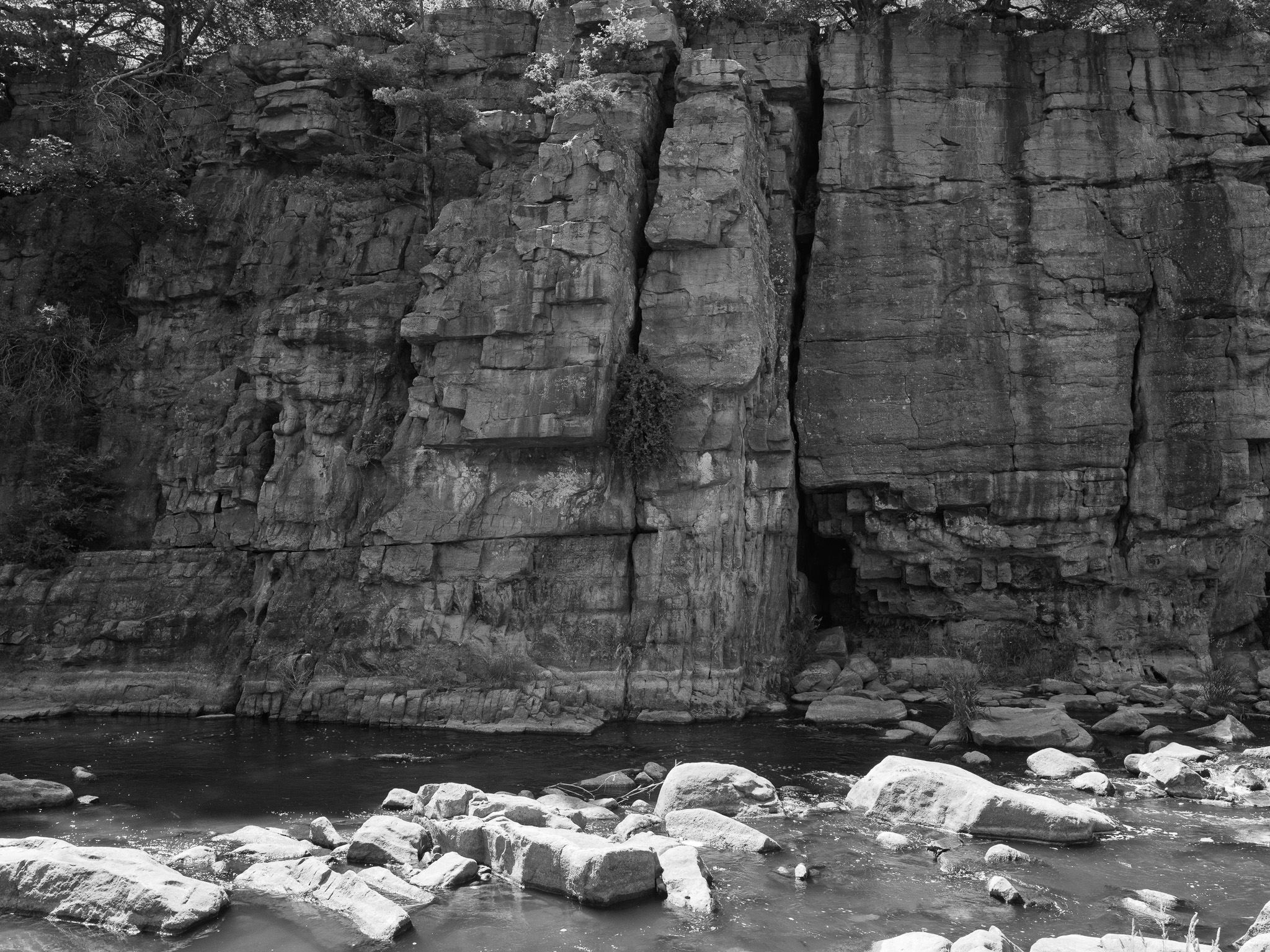
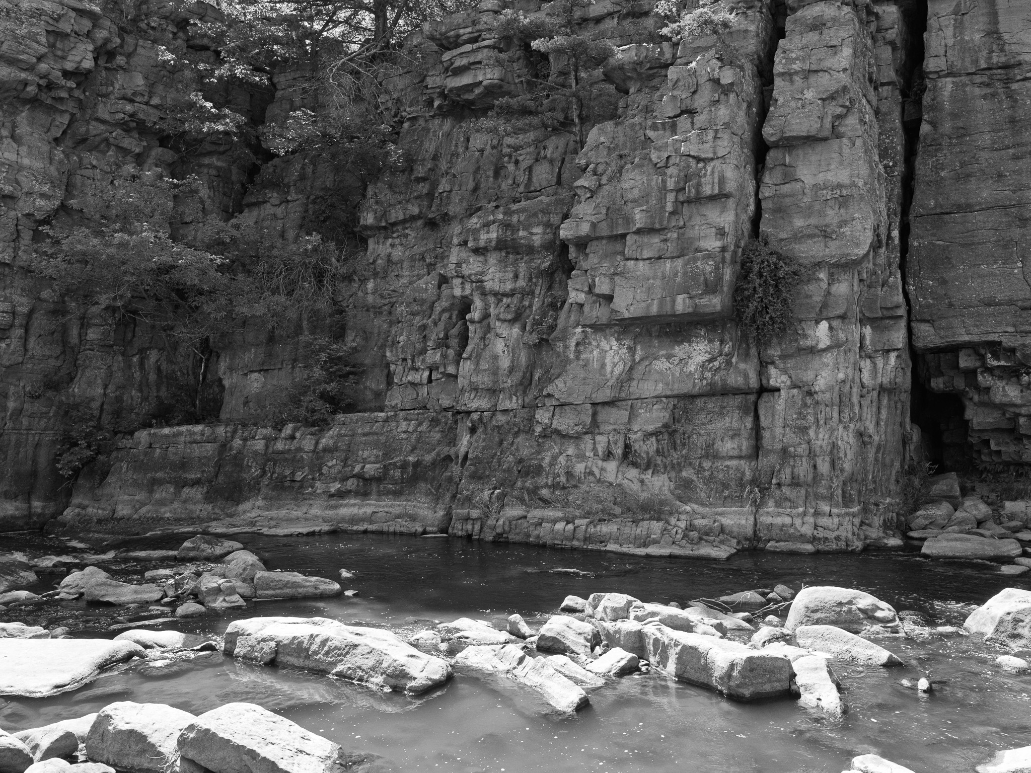
Split Rock Creek, part of the Big Sioux River watershed, runs through a gorge cut into Sioux quartzite, forming palisades and shelf cliffs up to 50 feet tall.