~800-700 Mya Neoproterozoic metasedimentary rock (Ocoee Supergroup: Snowbird, Great Smoky, and Walden Creek Groups)
Cherokee (Aniyvwiya); the Smokies lay at the center of Cherokee territory before Euro-American settlement; the Oconaluftee River corridor, its name Cherokee-derived, held a community permitted to remain after the 1838 removal under the protection of William Holland Thomas, a white man adopted into the tribe; Tsali, a Cherokee man who fled into these mountains with his family rather than be removed, was executed by the U.S. Army after surrendering; the Army's agreement to end its pursuit in exchange for his surrender let other hidden Cherokee families remain, seeding what became the Eastern Band of Cherokee Indians on the adjacent Qualla Boundary.
Displacement & Tenure
Cession: Treaty of Washington (February 27, 1819, the "Calhoun Treaty") ceded Cherokee land between the Hiwassee, Little Tennessee, and Tennessee Rivers, opening the Cades Cove area to settlement; Cession: Treaty of New Echota (December 29, 1835), signed by the unauthorized Treaty Party without the sanction of Principal Chief John Ross, ceded all remaining Cherokee territory in the region, enforced by federal troops in the 1838 Trail of Tears. Separately, and distinct from the treaty-era cession: North Carolina and Tennessee assembled the park between 1926 and 1934 through purchase and eminent-domain condemnation of more than 1,100 tracts, including thousands of small family farms and logging-company holdings, funded in part by a $5 million pledge from John D. Rockefeller Jr. and $1,550,000 in federal CCC funds secured in 1933; published sources vary on the exact number of residents displaced (estimates range from several hundred to roughly 1,200 families), so no single disputed figure is asserted here.
Shadow History
Industrial logging preceded and enabled the park's creation: the Little River Lumber Company logged the Little River watershed from 1901 to 1939, laying some 150 miles of railroad and cutting an estimated 560 million board feet, clear-cutting roughly two-thirds of what became the park; the Champion Fibre Company logged the Oconaluftee watershed until its holdings were acquired by condemnation and negotiation by 1931. Park establishment displaced residents of long-settled mountain communities: in Cataloochee Valley, home to roughly 1,250 people at its 1900 peak, families were told in 1928 their land fell within the new boundary, and most had left by the early 1940s; in Cades Cove, John W. Oliver, among the last residents, departed on Christmas Day 1937; at Elkmont, a former logging camp turned resort community, the state condemned residents' cabins but many families negotiated to keep them under lifetime and later renewable 20-year leases, not renewed after 1992. Roughly 22 CCC camps built park infrastructure between 1933 and 1942 with as many as 4,300 men; in 1935, Superintendent J.R. Eakin persuaded Fourth Corps CCC officials to exclude African American companies from the park entirely, writing that "local peace officers could not be expected to protect the colored companies," and in 1941 advocated for segregated campground and picnic areas in Cades Cove, though NPS states there is no evidence that plan was ever built; segregated restrooms did exist at the Newfound Gap comfort station and Forney Ridge Overlook.
Ecology
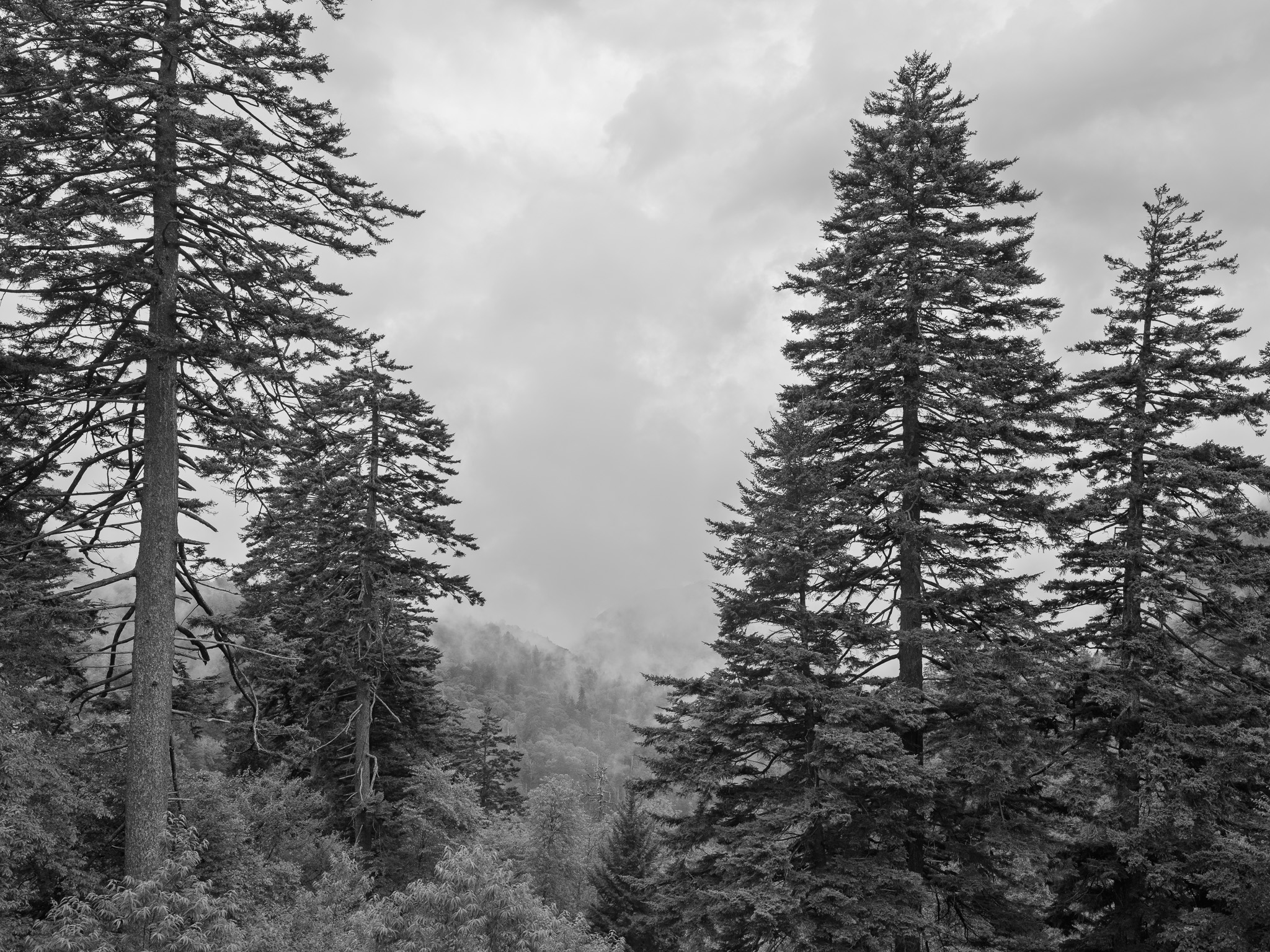
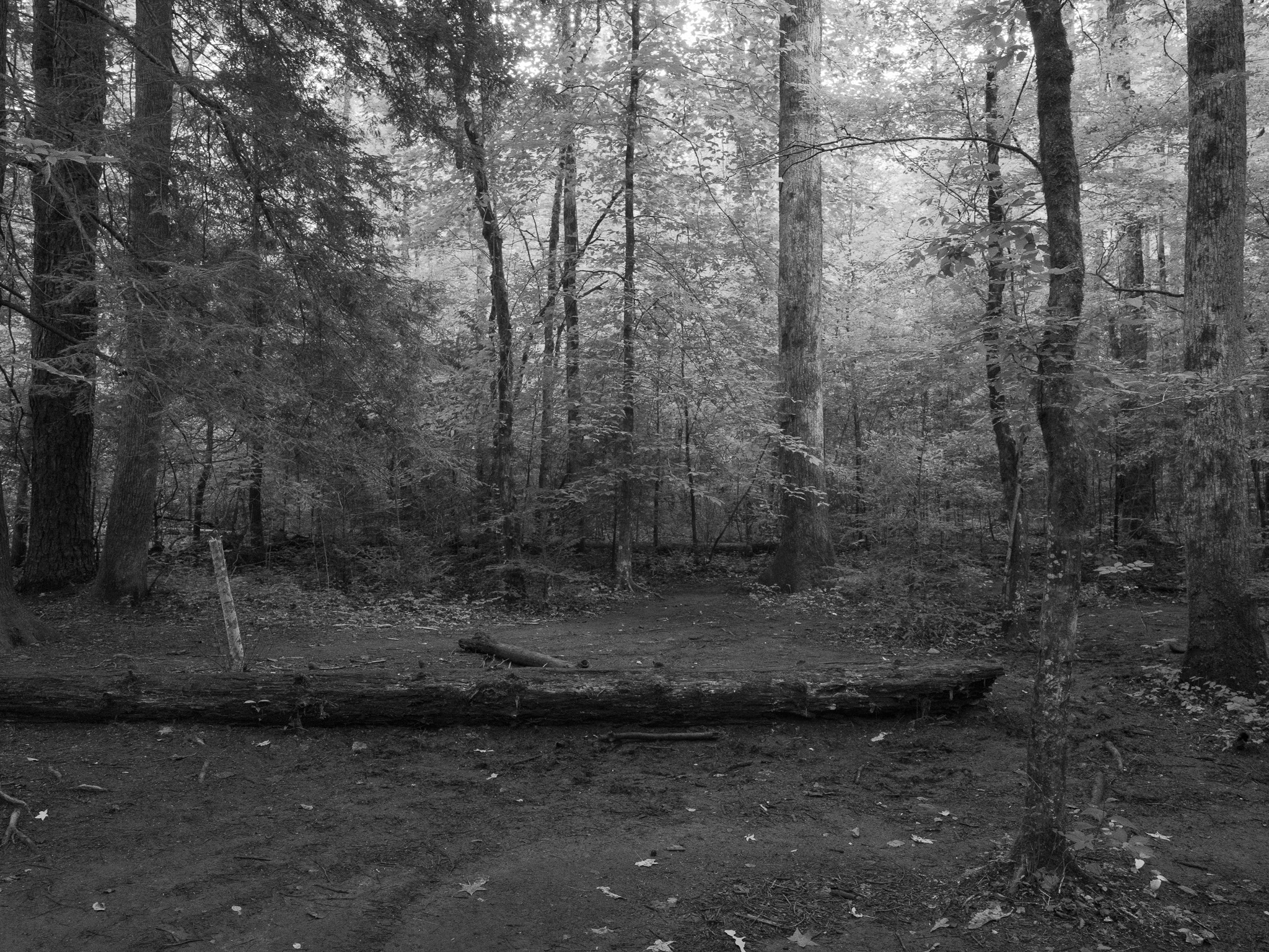
Roughly 95% forested, including some 25% old-growth, with over 100 native tree species, more than any other North American national park, spanning cove hardwood forest at low and mid elevation up to spruce-fir at the highest peaks; the park holds exceptional salamander diversity among its more than 19,000 documented species.
Hydrology
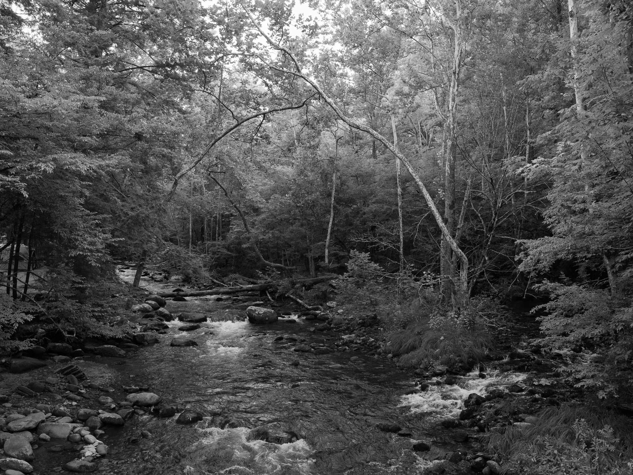
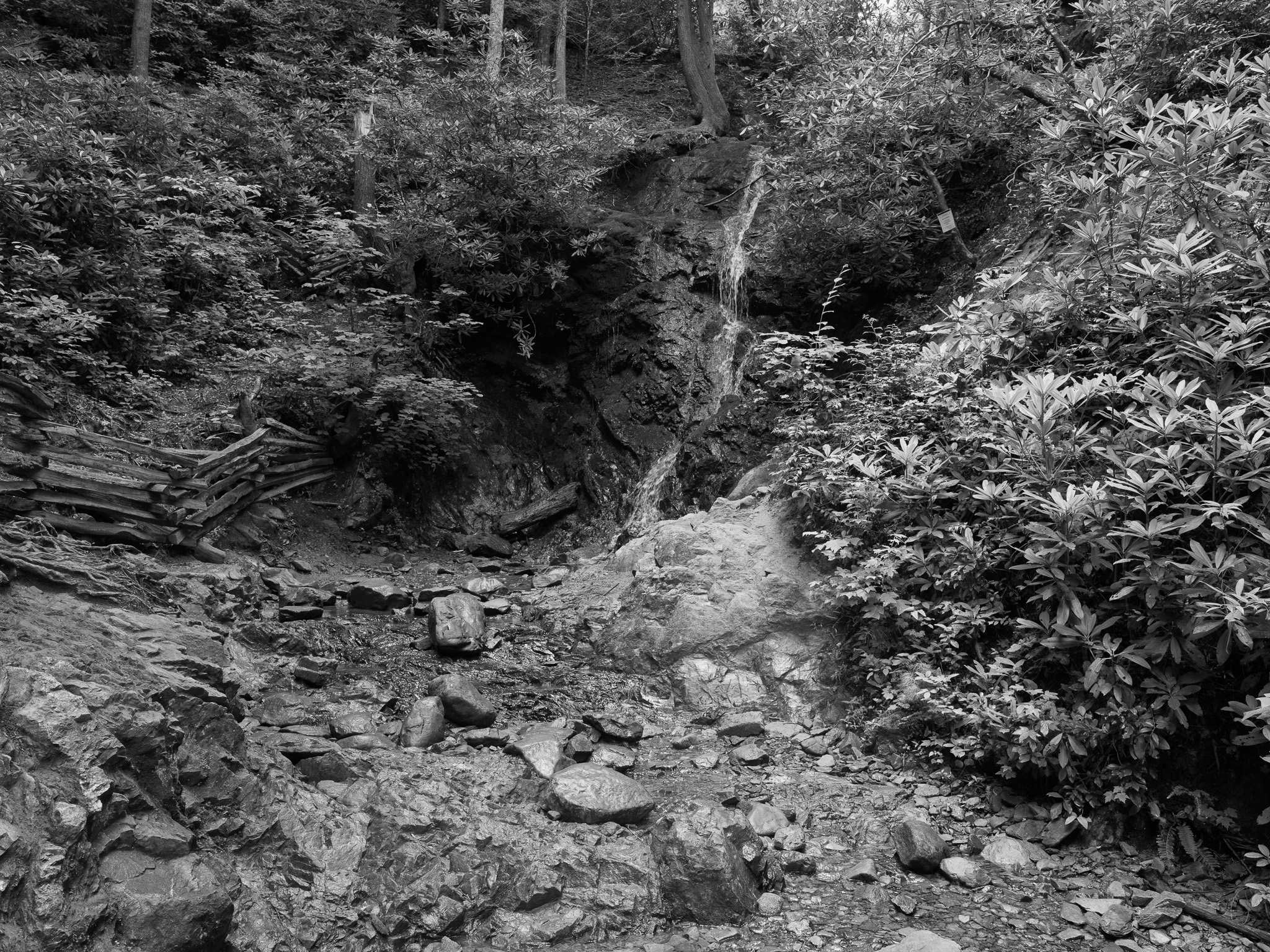
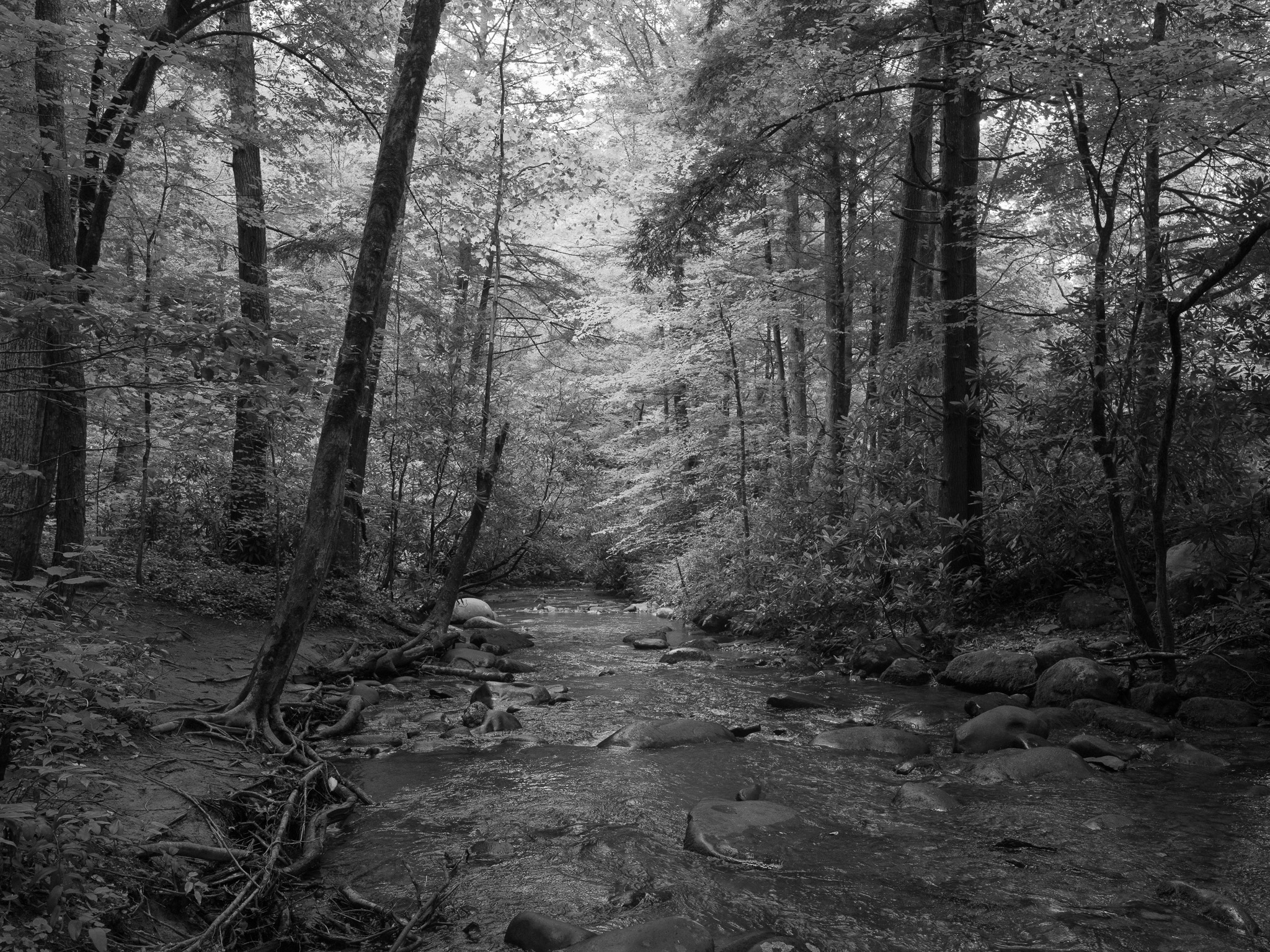
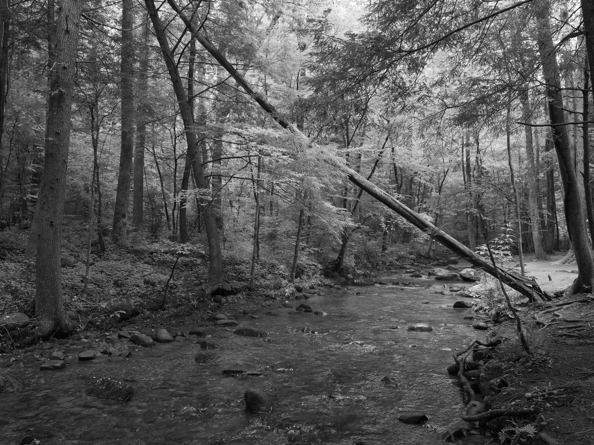
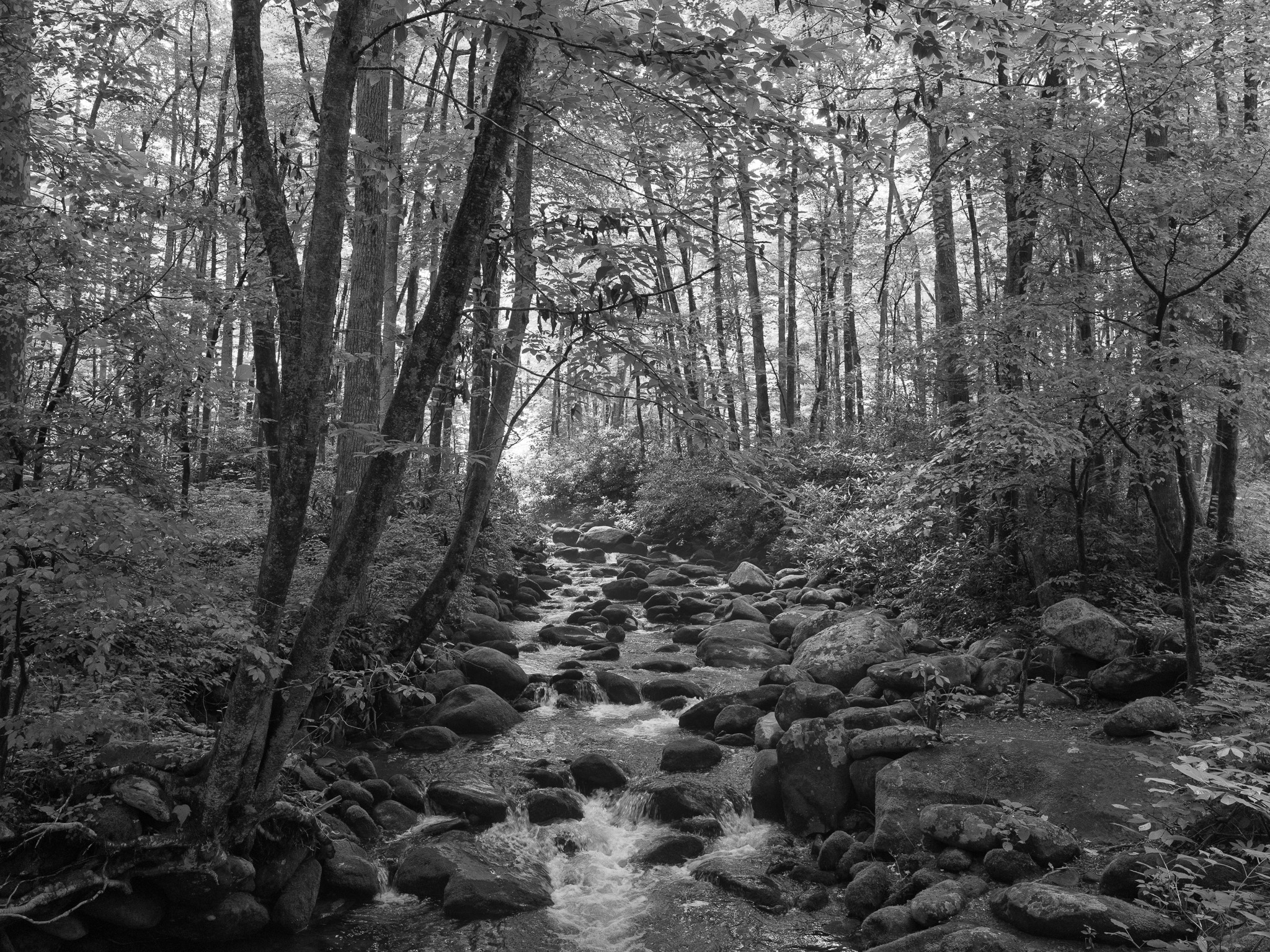
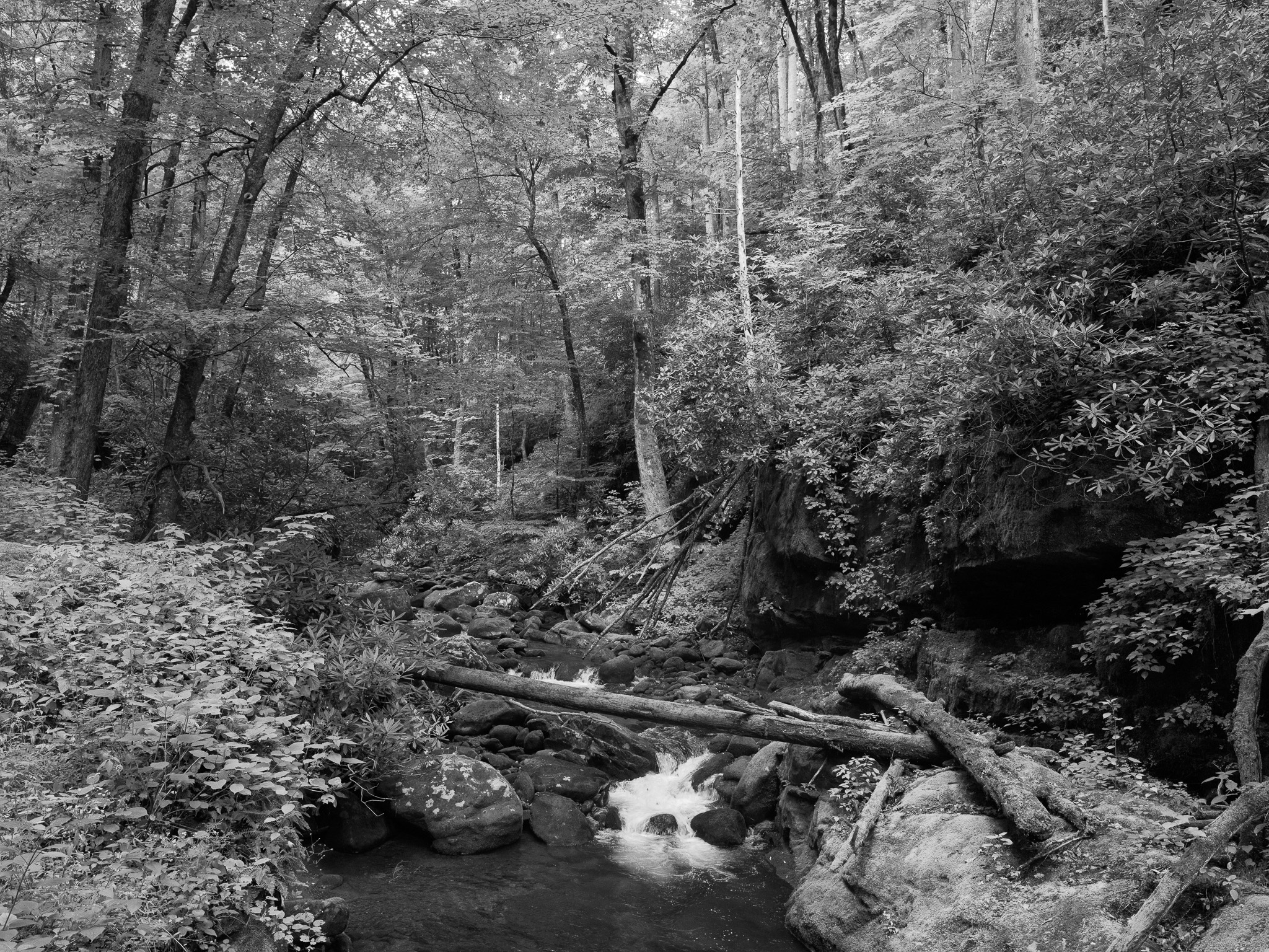
Entirely within the Tennessee River watershed; roughly 2,900 miles of streams. Named waterways with headwaters in the park include the Little Pigeon River, Little River, Oconaluftee River, and Abrams Creek, the largest stream entirely within the park, rising in Cades Cove and emptying into Chilhowee Lake on the Little Tennessee River.