~443-323 Mya Silurian through Mississippian dolomite, shale, and sandstone; Peebles Dolomite (Silurian Wenlockian-Ludlovian) forms the plateau upland; Ohio Shale and Berea Sandstone exposed in gorge section; site on unglaciated Allegheny Plateau with natural bridge.
Epoch
Wenlockian to Mississippian.
Hopewell (Middle Woodland, ~100 BC-AD 500) built the 1.5-mile hilltop ceremonial enclosure and a village and ceremonial buildings in the Brush Creek valley; Adena culture (c. 500 BC-100 AD) antecedent; obsidian from Yellowstone-area sources and mica recovered from the site reflect Hopewell Interaction Sphere trade networks; Shawnee (Shawanwaki) held Paint Creek and Scioto watershed territories through the 18th century; Shawnee chiefs Blue Jacket and Black Hoof signed the Treaty of Greenville (August 3, 1795) following the Battle of Fallen Timbers (August 20, 1794), ceding Ohio territory south of the treaty line; final Ohio Shawnee removal to Kansas under Treaty with the Shawnee (1831).
Displacement & Tenure
Hopewell decline approximately AD 400-500; Shawnee (Shawanwaki) Paint Creek territory; Battle of Fallen Timbers August 20, 1794; Treaty of Greenville August 3, 1795 ceded Ohio south of treaty line with Wyandot, Delaware, Shawnee, Ottawa, Chippewa, Potawatomi, Miami, and allied nations as signatories; Treaty of Fort Meigs (Miami Rapids) September 29, 1817 extinguished remaining northwestern Ohio reservations; Treaty with the Shawnee (1831) removed Ohio Shawnee to Kansas; listed on the National Register of Historic Places 1970; designated a National Natural Landmark 1974; managed by Ohio History Connection.
Shadow History
Amateur antiquarians Ephraim George Squier, a journalist and later diplomat, and Edwin Hamilton Davis, a physician, excavated Fort Hill in 1846 for the Smithsonian, surveying the enclosure and removing artifacts; their survey was published in Ancient Monuments of the Mississippi Valley (1848), the first Smithsonian publication, with no artifact-provenience recording by modern standards; Ohio Historical Society archaeologist Raymond Baby re-excavated the circular enclosure in 1952, discovering a 174-foot-diameter double post ring before tribal consultation standards existed; CCC Company 1505 (Sinking Spring, 1934) constructed site infrastructure under the New Deal labor program.
Ecology
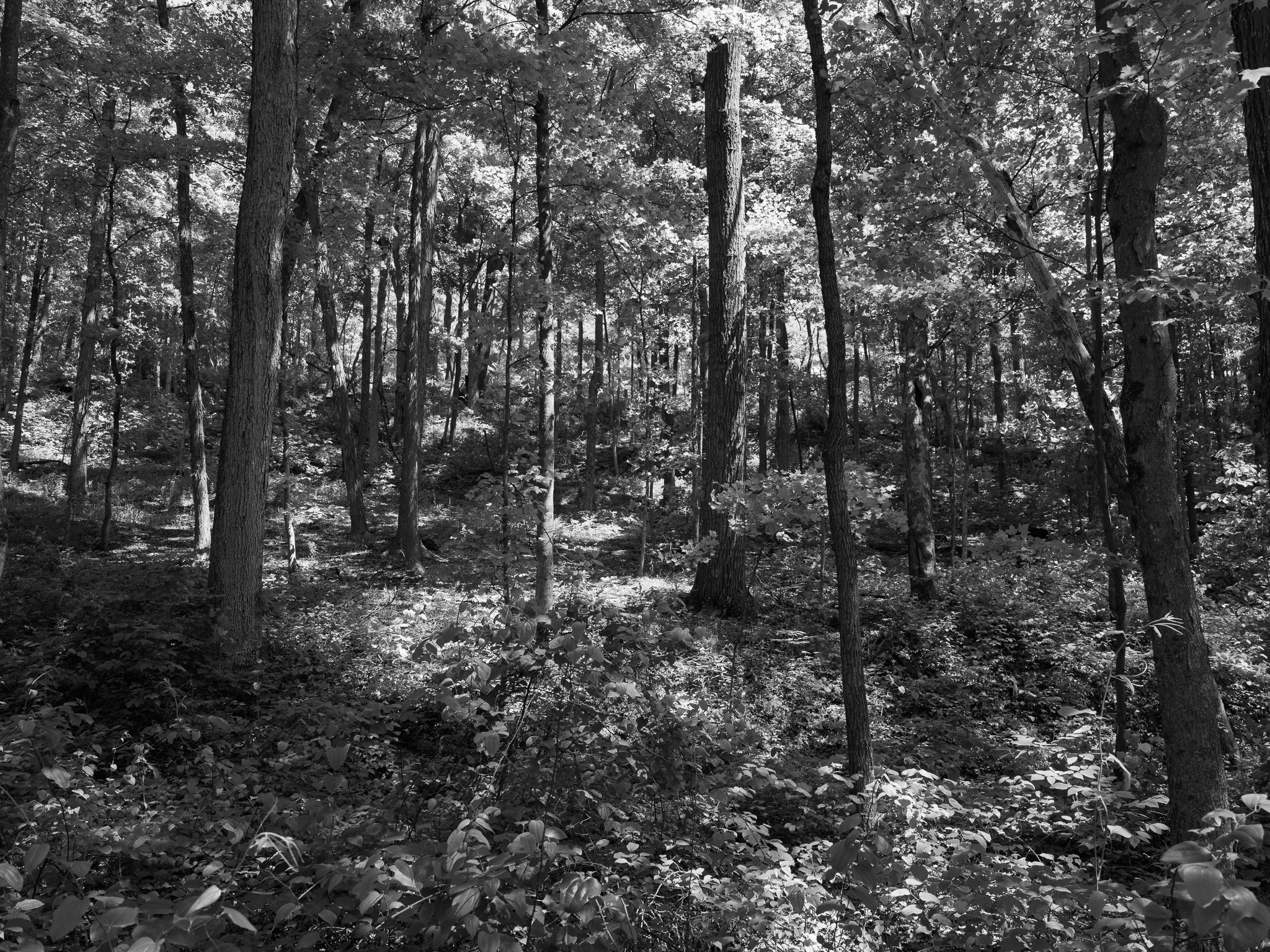
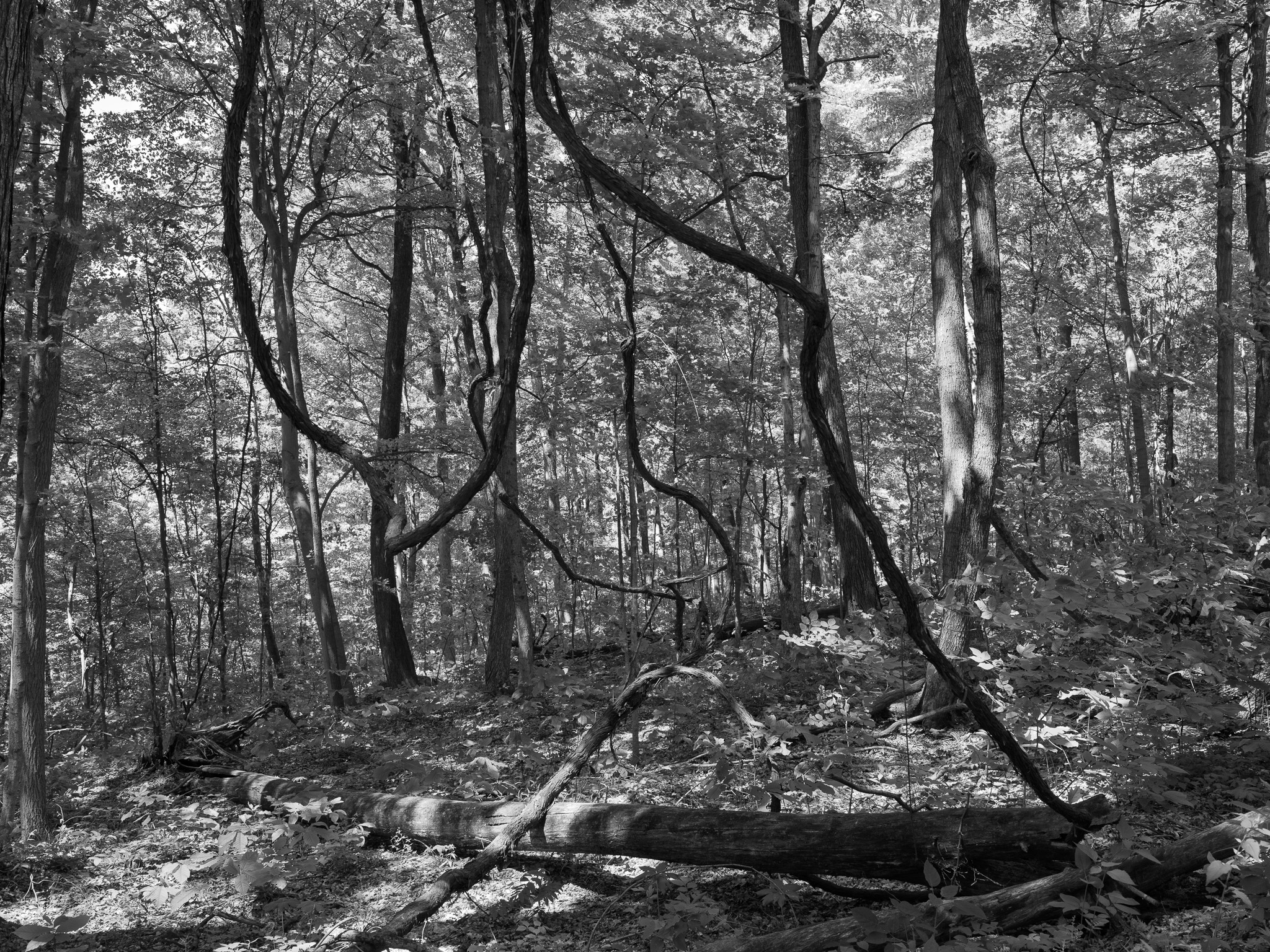
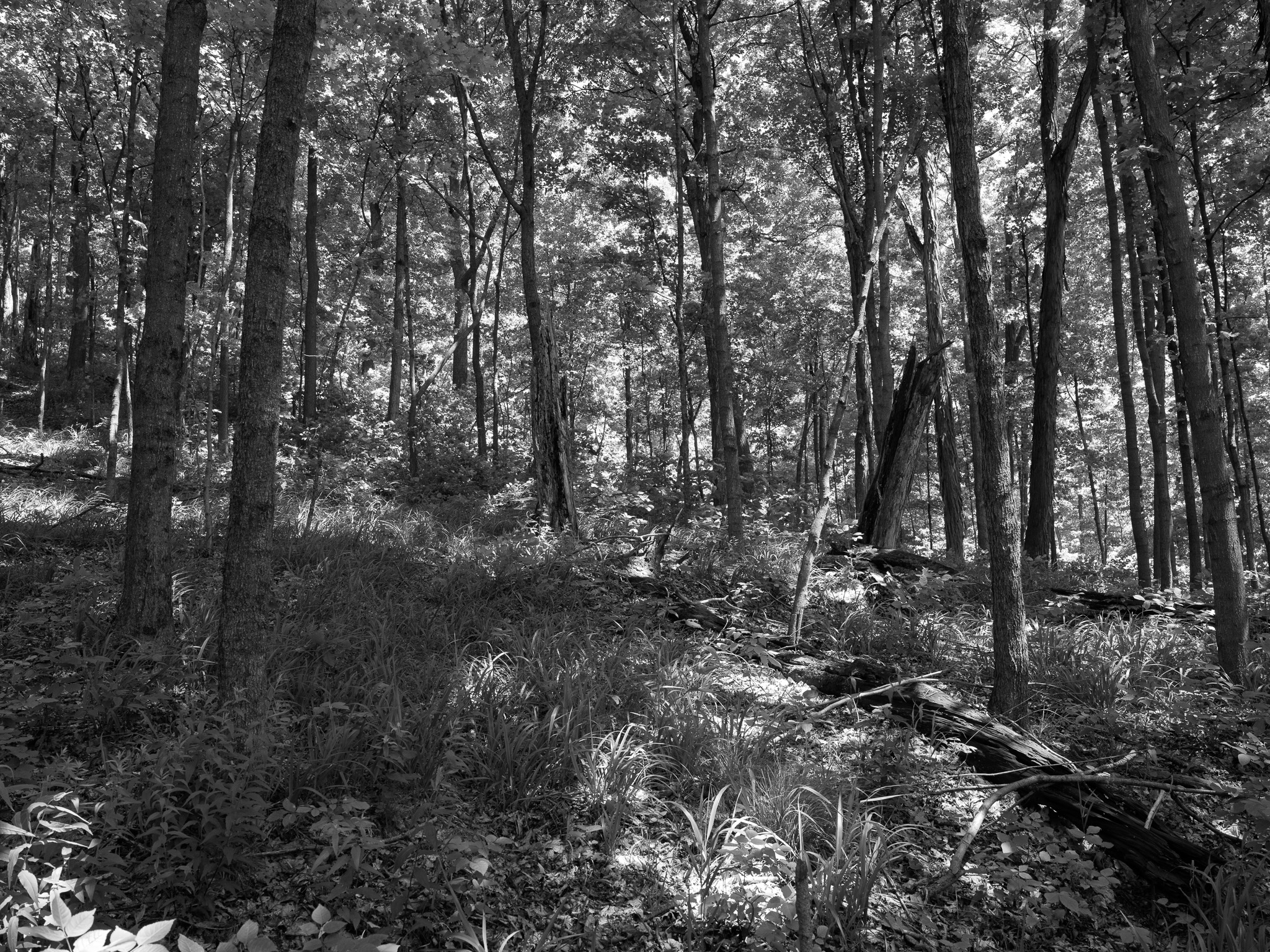
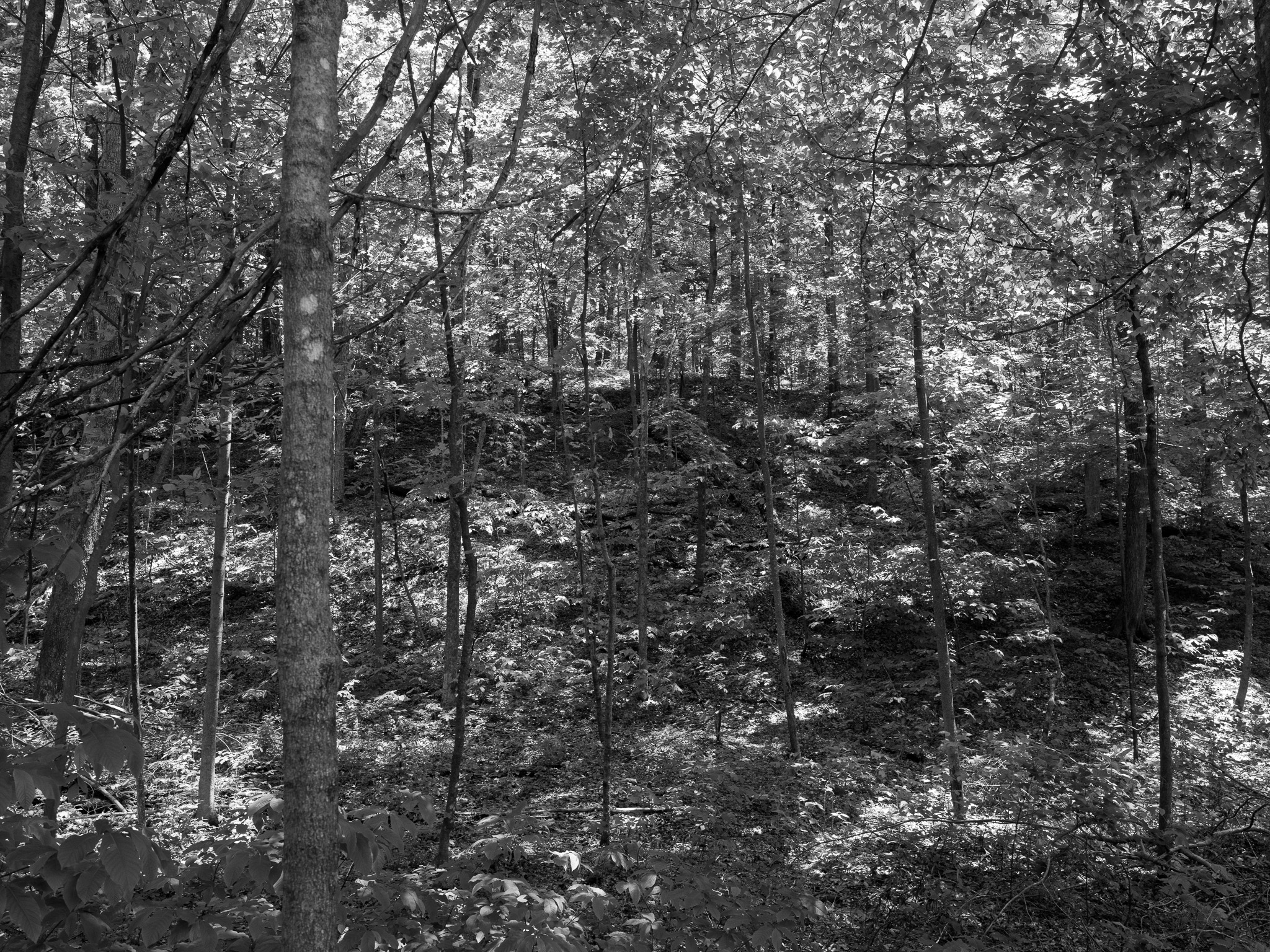
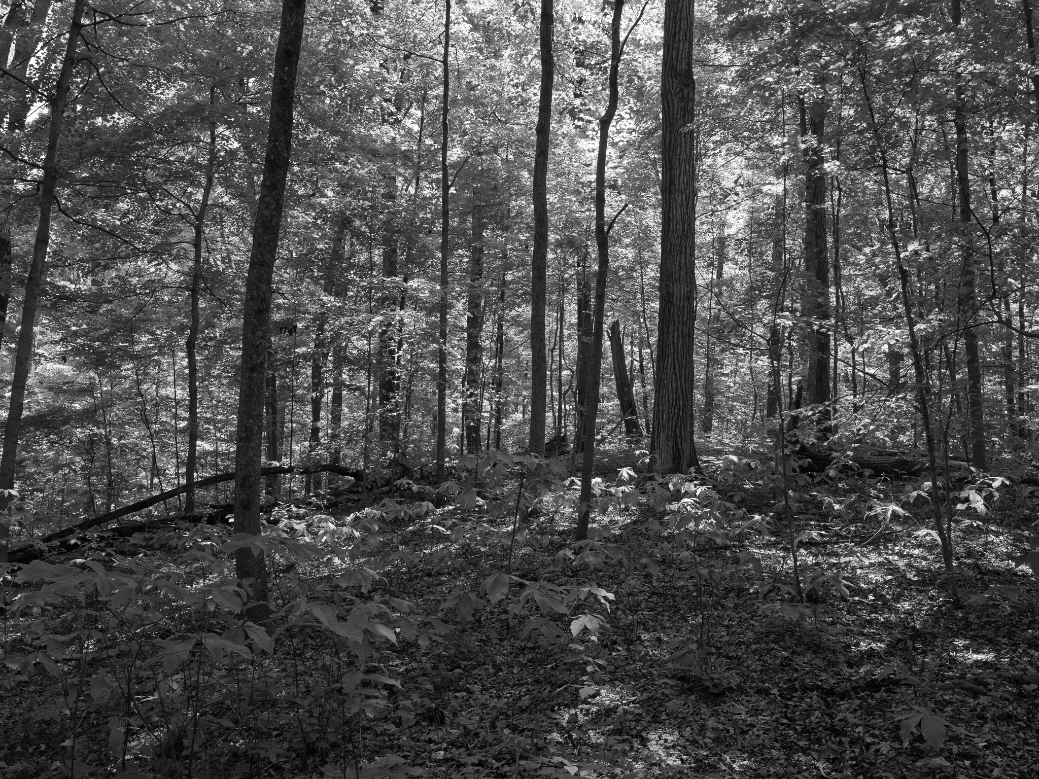
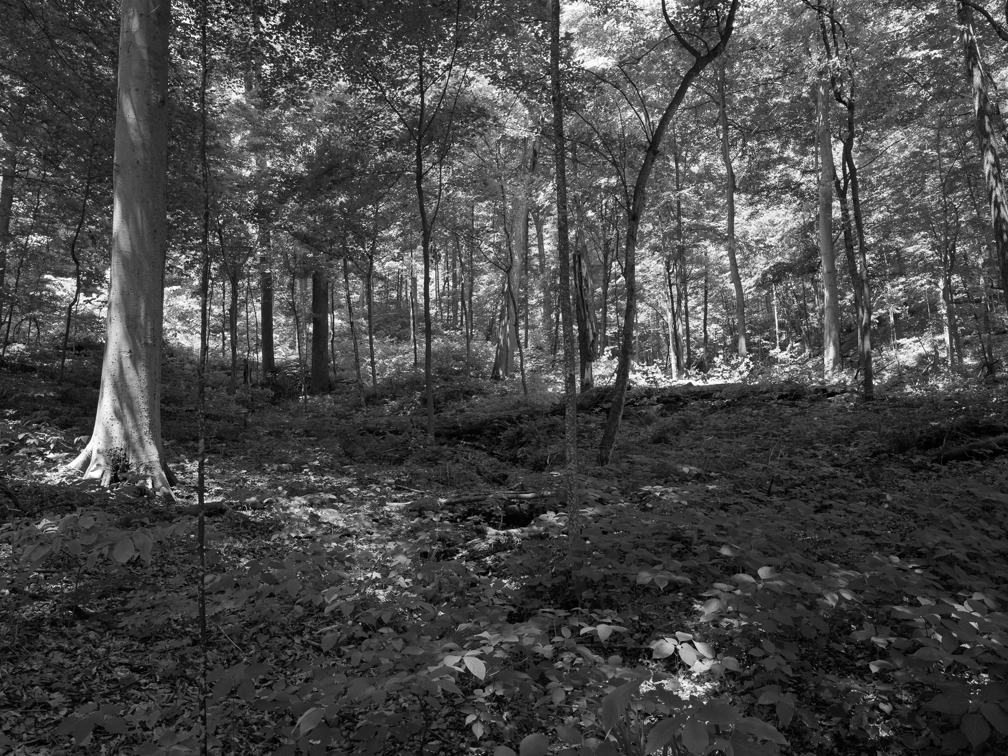
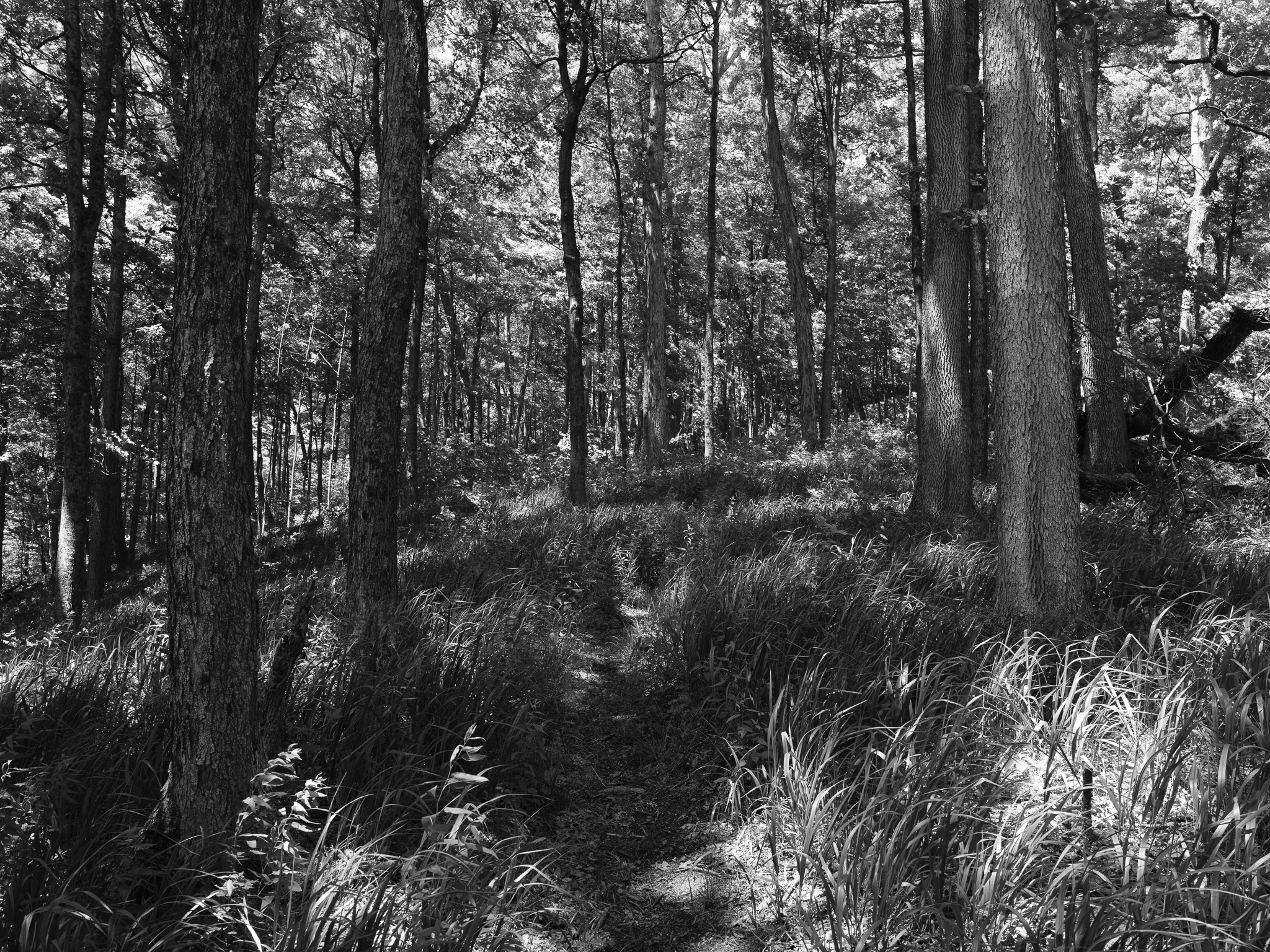
Mixed mesophytic old-growth forest among the highest tree-diversity forest types in temperate North America, with oak-hickory, beech-maple, and riverine communities; over 800 vascular plant species documented, including state-threatened Wherry's catchfly (Silene caroliniana var. wherryi); cerulean and worm-eating warblers nest in the contiguous forest block.
Hydrology
Headwaters of Middle Fork Ohio Brush Creek and Paint Creek on the unglaciated Allegheny Plateau; Baker Fork borders the limestone gorge; Ohio Brush Creek flows 59.9 miles to the Ohio River; hilltop stands approximately 500 feet above creek level; natural bridge feature on Gorge Trail.