Public Lands Institute
Map
Images
Archive
About
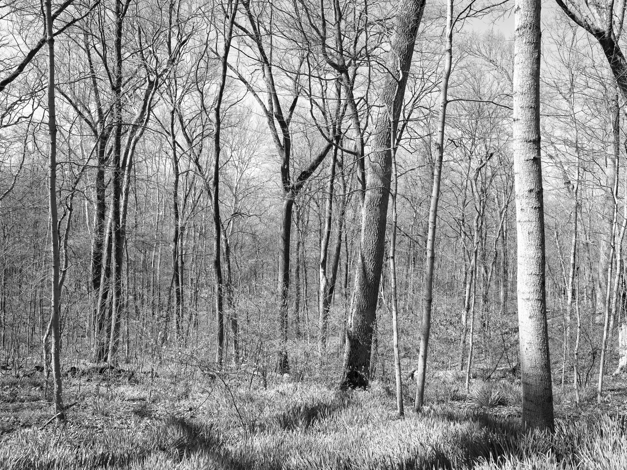
Dinsmore Woods State Nature Preserve
KY
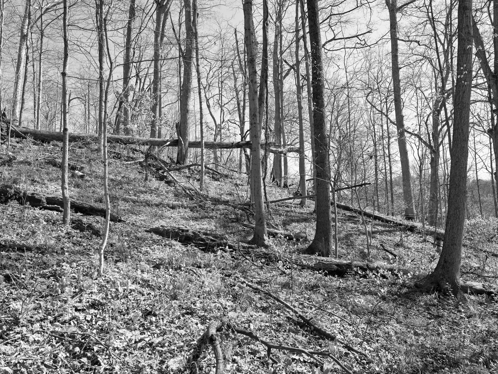
Dinsmore Woods State Nature Preserve 1 · 2026-04-08
_DSF1233.jpg
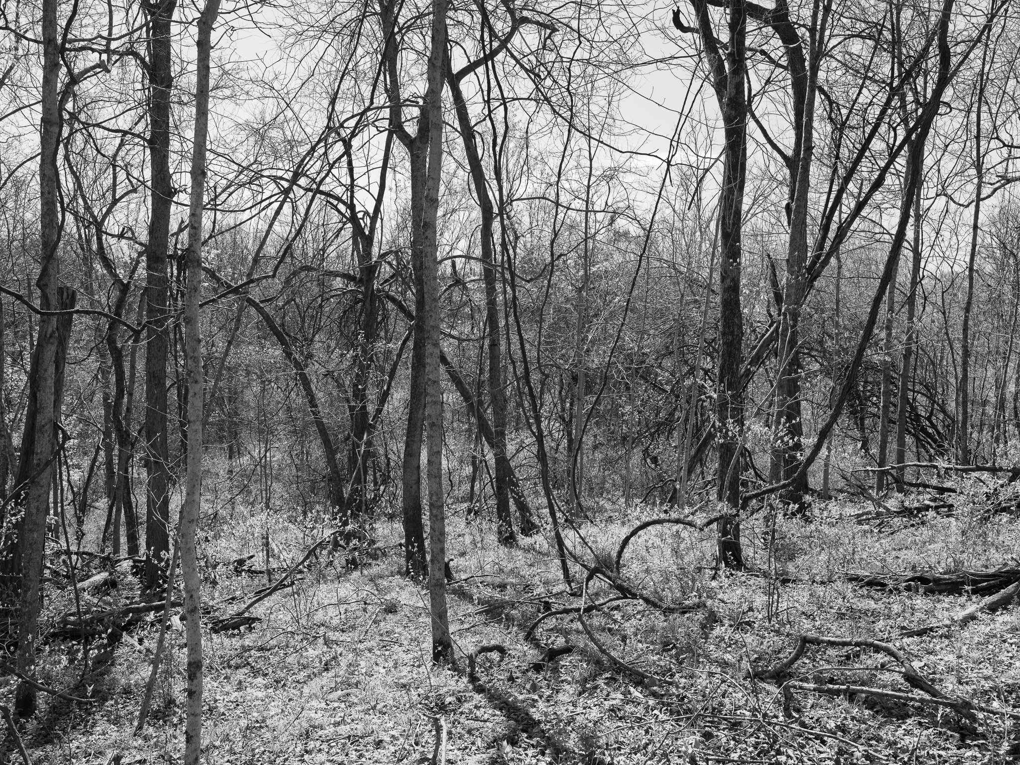
Dinsmore Woods State Nature Preserve 2 · 2026-04-08
_DSF1235.jpg
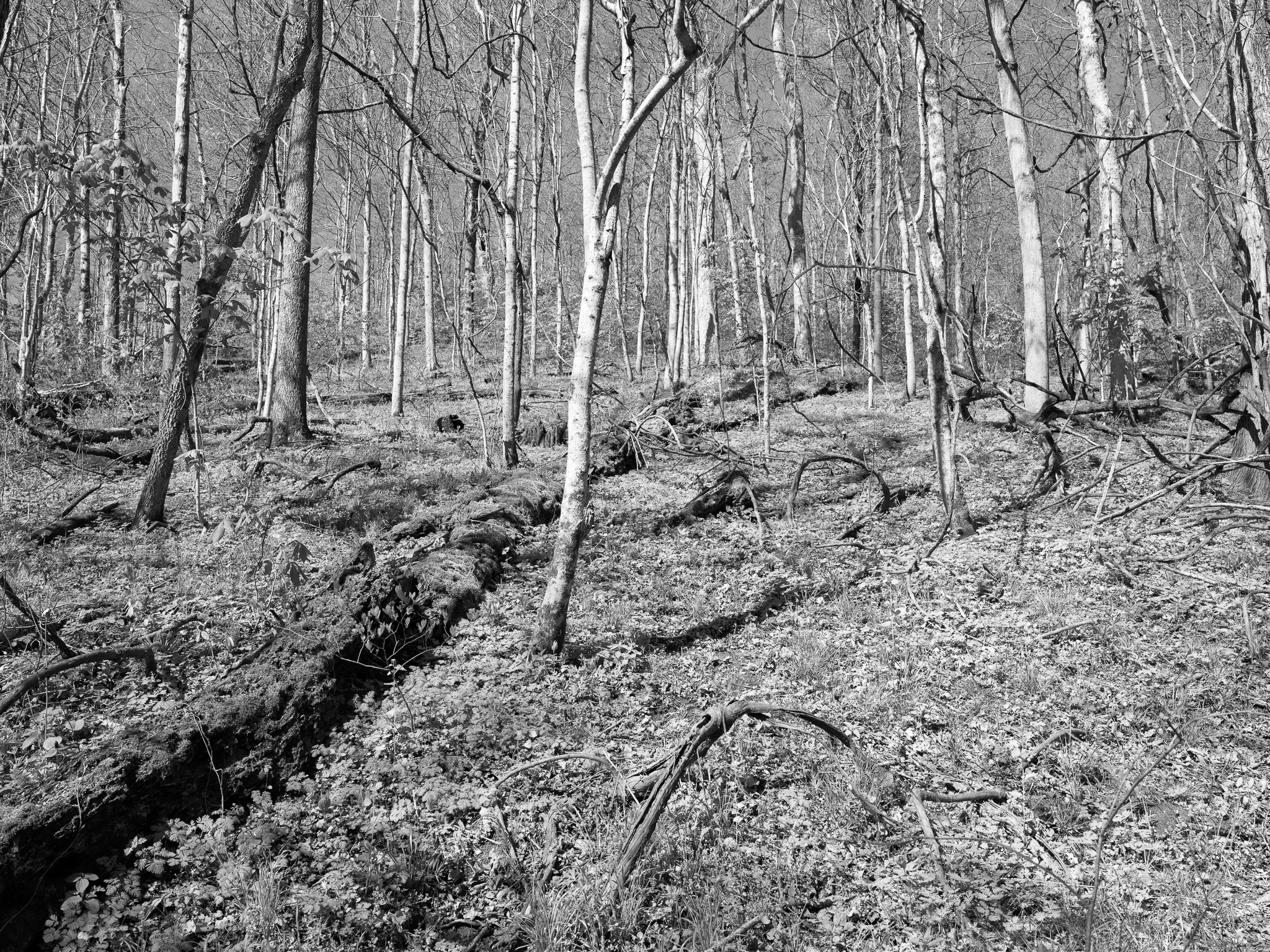
Dinsmore Woods State Nature Preserve 3 · 2026-04-08
_DSF1236.jpg
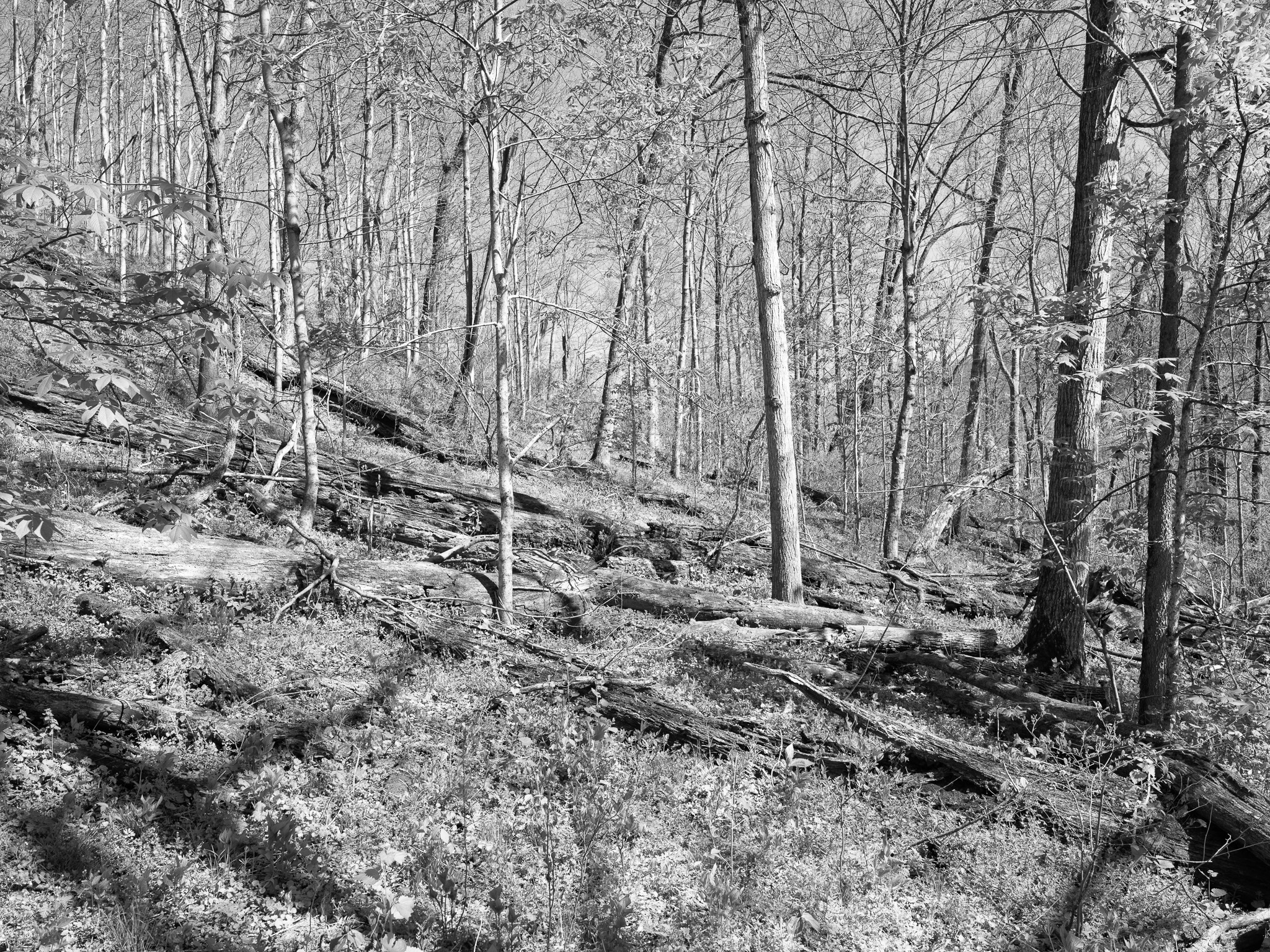
Dinsmore Woods State Nature Preserve 4 · 2026-04-08
_DSF1243.jpg
Dinsmore Woods State Nature Preserve 5 · 2026-04-08
_DSF1255.jpg
View all 5 images →
← Big Bone Lick State Historic Site
Caesar Creek State Park →