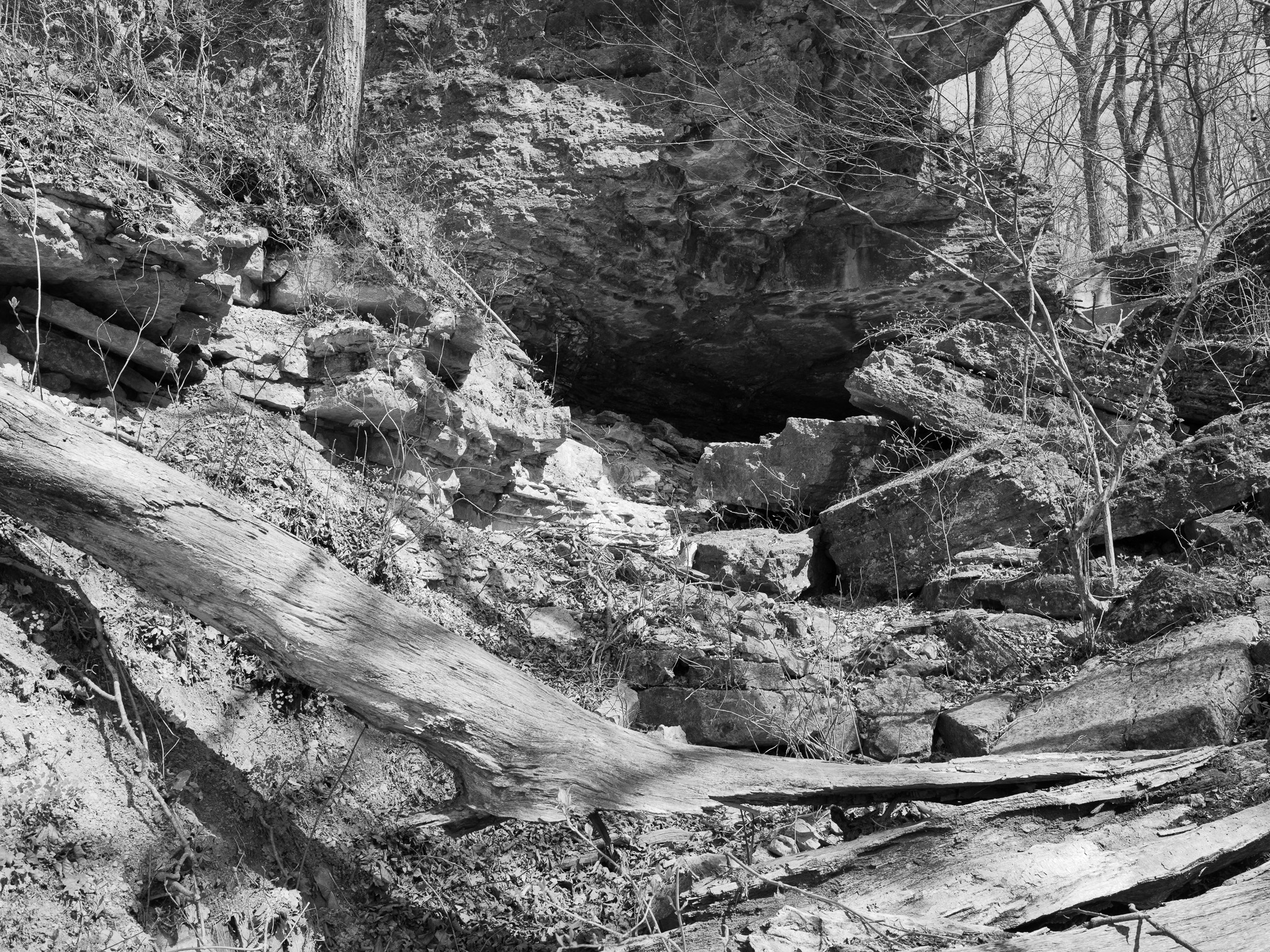
~445 Mya Ordovician limestone and shale.
Epoch
Late Ordovician; Dillsboro Formation (shale and limestone) on lower canyon slopes; Saluda Formation (limestone and dolomite) capping waterfall crests and upper cliffs.
Shawandasse Tula (Shawnee) · Myaamia (Miami); Ohio River valley ancestral Shawnee homeland; Shawnee displaced from the Ohio valley following the American Revolution; Treaty of Greenville 1795 ceded southeastern Indiana to the United States; Shawnee, Miami, and allied nations removed from Indiana under the Indian Removal Act 1830.
Displacement & Tenure
Cession 56: Treaty with the Delawares, Pottawatimies, Miames, Eel River, and Weas (1805); 570-acre core acquired October 27, 1920 via joint purchase by Jefferson County citizens and the State of Indiana, initiated by state parks director Richard Lieber; Madison State Hospital transferred adjacent farm fields to the park in 1965, expanding total acreage to approximately 1,416 acres.
Shadow History
Madison State Hospital (opened 1910 as Southeastern Indiana Hospital for the Insane) operated the adjacent farm fields under a patient-labor model in which psychiatric patients grew food, ran a dairy, and built roads without compensation; the Indiana legislature determined in the 1960s that this constituted indentured servitude, leading the hospital to discontinue farming rather than pay patients; the farm fields transferred to the park in 1965 were worked under this system for at least four decades; an institutional cemetery on hospital grounds holds an estimated 300 to 400 burials, the majority marked only with metal crosses bearing patient numbers rather than names.
Ecology
Mixed deciduous forest with chestnut oak, post oak, and black oak on dry canyon rim slopes; beech and sycamore in canyon bottoms; Clifty Canyon State Nature Preserve protects one of Indiana's finest gorge ecosystems.
Hydrology
Clifty Creek drains through a 300-foot-deep canyon to the Ohio River; four major waterfalls including Tunnel Falls (83 ft) and Hoffman Falls (78 ft); drainage pattern established during Pleistocene glaciation when streams were redirected southward to the newly formed Ohio River valley.