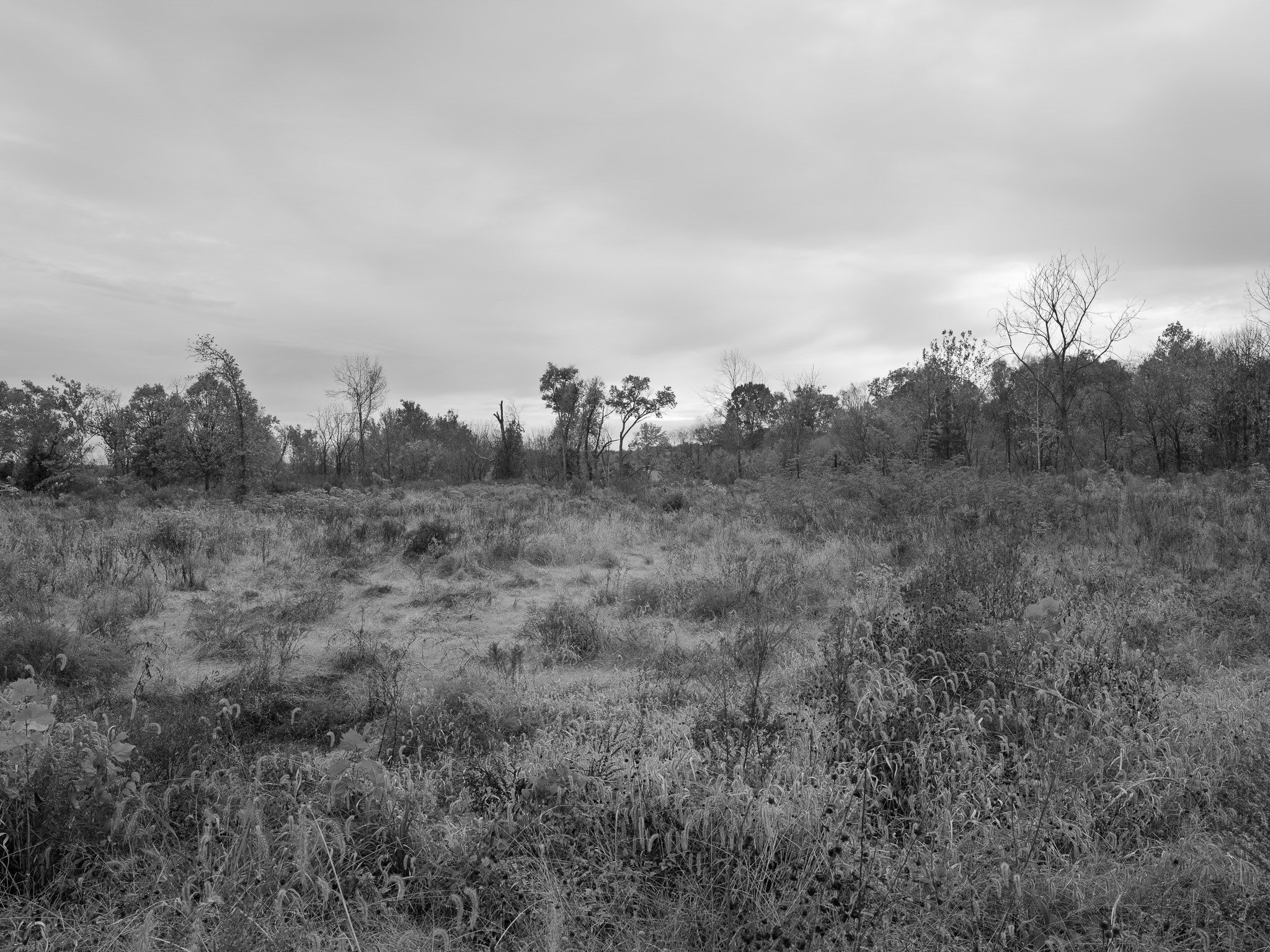
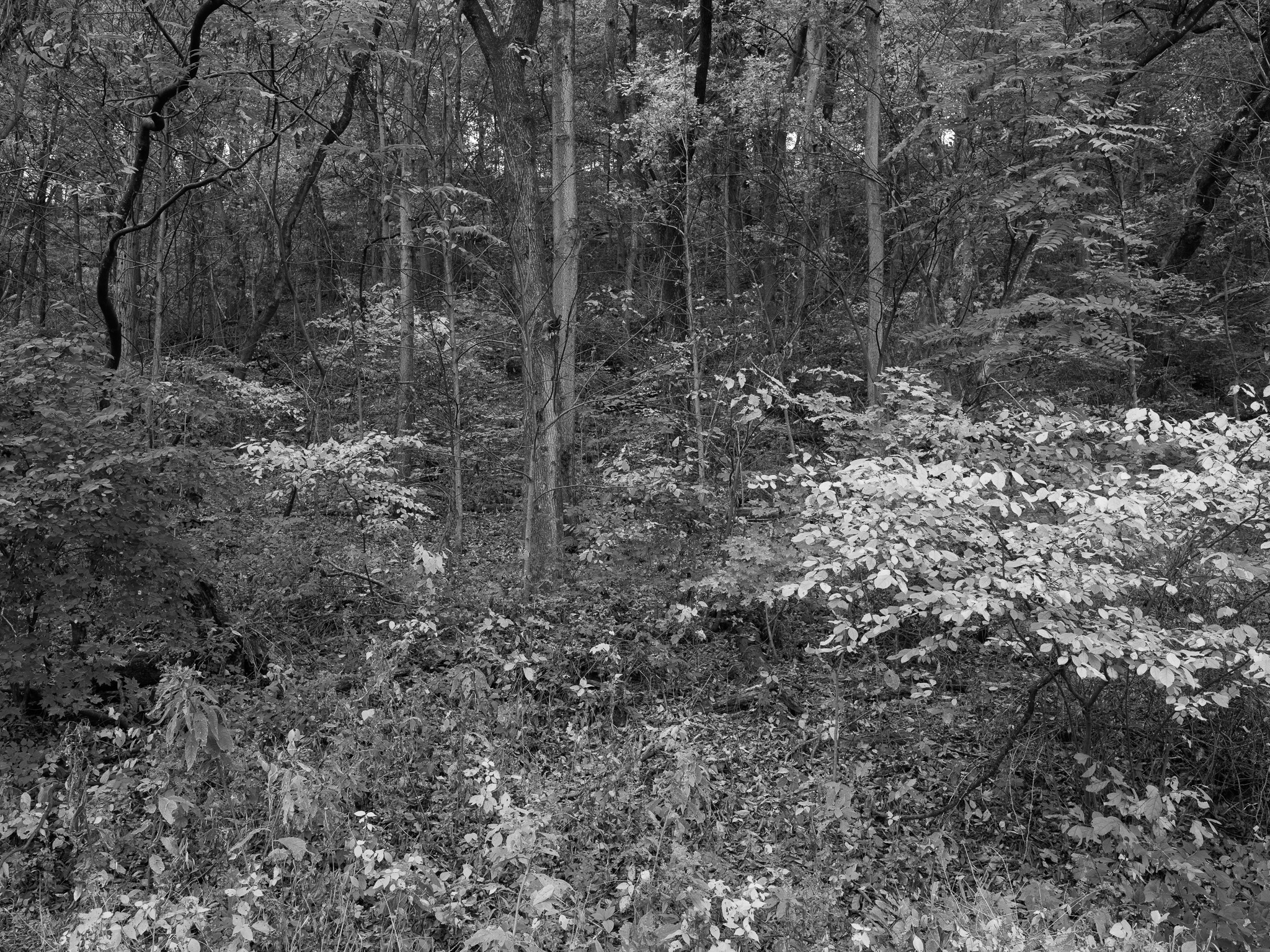
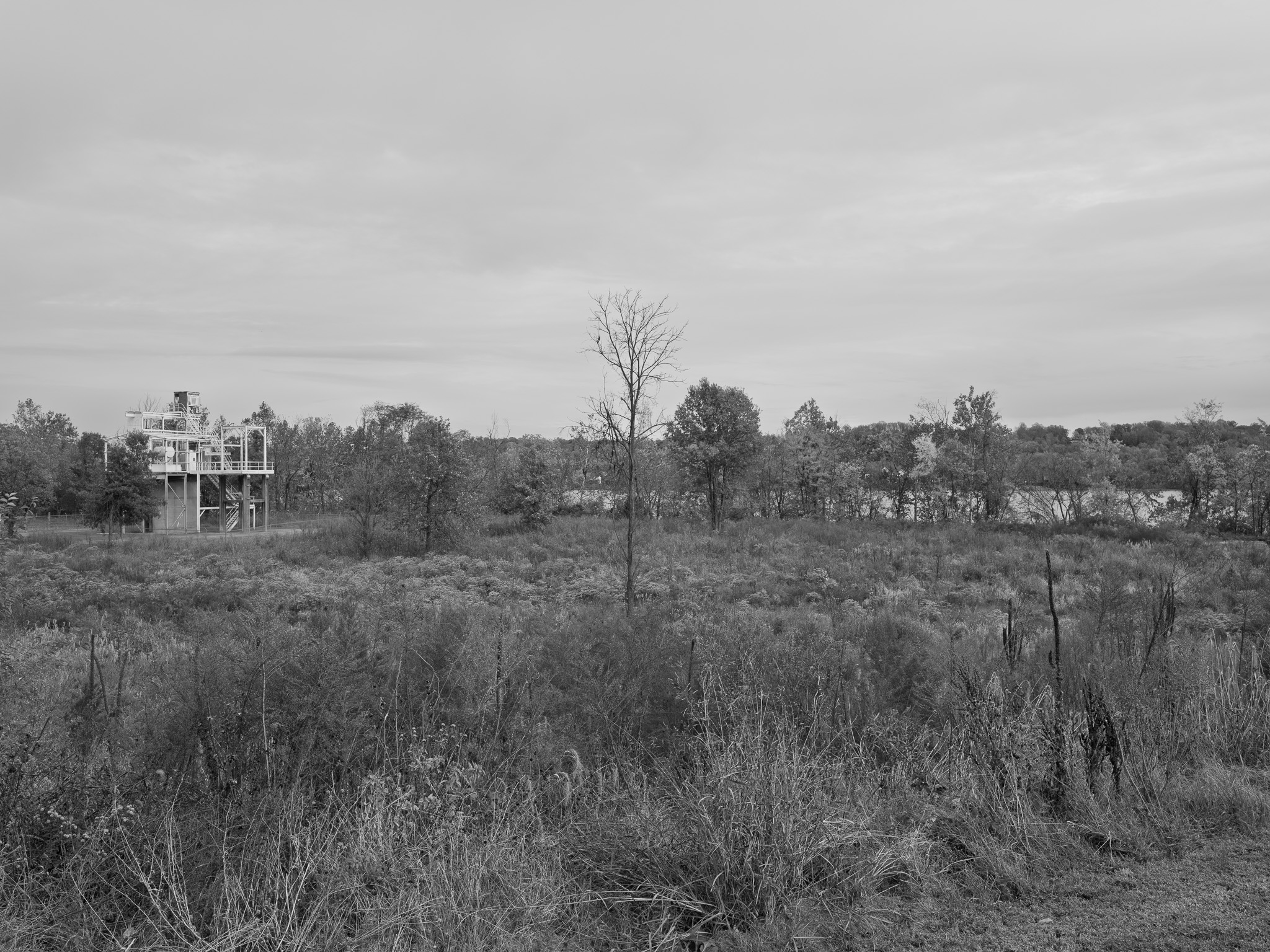
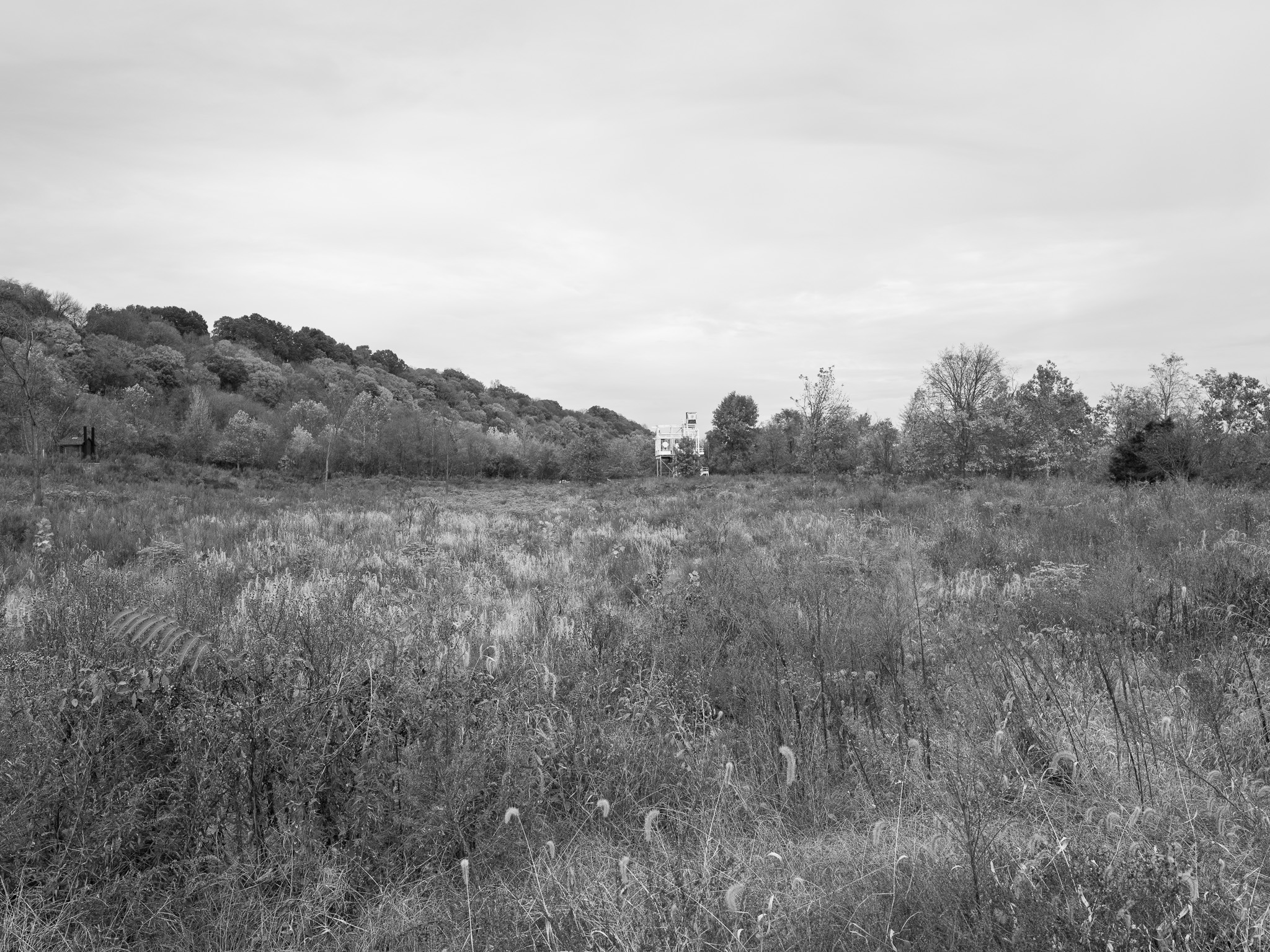
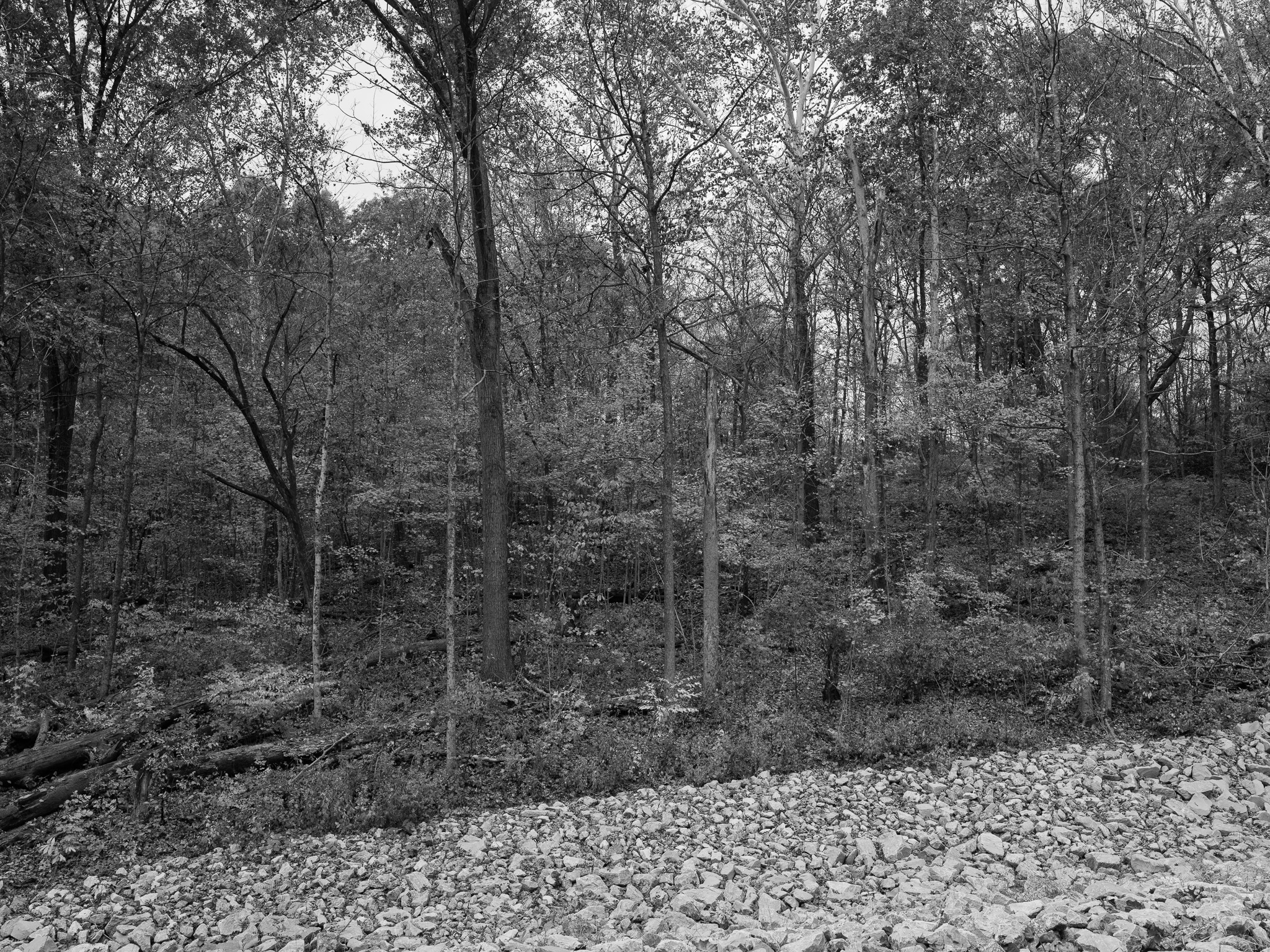
~394 to 384 Mya Middle Devonian Muscatatuck Group limestone and dolomite on the plateau, with the Silurian Louisville Limestone below it exposed in the Fourteenmile Creek bluffs; Devonian fossil outcrops and karst sinkholes along the trails, and a colluvial lag of Illinoian till erratics on the slopes.
Epoch
Middle Devonian (Muscatatuck Group); Silurian (Louisville Limestone)
Shawnee (Shawanwaki) · Myaamia (Miami) · Lenape (Delaware); a riverside cooking area of about 2000 BCE, with firepits, nutting stones, and tools of Laurel chert, was found in January 2006 during construction of the park's boat ramp; the Ohio corridor here runs 12 miles down to the Falls of the Ohio crossing; George Rogers Clark's 1778 landing at Corn Island opened the Virginia campaign for the Illinois country, and the 150,000 acres Virginia granted his soldiers in 1781 were excepted from Indian country by the Treaty of Greene Ville, August 3 1795.
Displacement & Tenure
Not ceded by a standard Indigenous treaty. Clark's Grant, Royce Cession 25 (Cession No. 5 in Indiana's cession sequence): 150,000 acres set aside by the Virginia General Assembly on January 2 1781, formalized in Virginia's 1784 deed of cession, and excepted from Indian country at Greene Ville in 1795; Charlestown was laid out on 300 acres in 1808. The federal government bought the land in three takings for the Indiana Ordnance Works and Hoosier Ordnance Plant, later the Indiana Army Ammunition Plant: farmland between State Road 62 and the Ohio in 1940, 4,800 acres south into Utica Township in January 1941, and the land north of Charlestown Landing Road, including Rose Island, in 1944, for a plant that reached 18,169 acres. The Army gave Indiana 859 acres of Plant 2 in 1993 and 1,125 more in 1994; the park opened in 1996 and grew with further transfers through 2016, the remainder of the plant going to the River Ridge Commerce Center.
Shadow History
The park is the riverfront of what was the world's largest smokeless powder plant. The 1940 purchase forced about sixty families out, and the January 1941 taking of 4,800 acres cleared about fifty farmhouses, thirty-five summer cottages, several businesses and churches, the Clark County Poor Farm, and 17 cemeteries; the Army blasted cave openings on the land shut in case they connected to the outside. The 1944 taking absorbed Rose Island, a resort on the peninsula at the mouth of Fourteenmile Creek that had become an amusement park in 1923 and was wrecked by the 1937 flood. Charlestown, a town of 939, took in some 30,000 transient construction workers who lived in trailers, chicken coops, barns, and the town jail until the State Board of Institutions condemned it. Housing and schools for Black workers were segregated: after white residents objected to mixed housing, 130 units were set apart behind a 300-foot-wide strip, and a 1942 newspaper described Black children in Charlestown Township studying in a broken-windowed sixty-five-year-old frame building. About 1,000 German prisoners of war from the Afrika Korps were marched up State Road 62 in May 1945 to work on the rocket powder plant. The plant made more than one billion pounds of smokeless powder in World War II and ran again for Korea and Vietnam; the Army's environmental restoration began in 1994 and cost $27.5 million through 2006, followed by a $41.5 million explosive decontamination of 901 structures from 2004, many burned in place.
Ecology
Mixed deciduous forest over limestone cliffs, from dry upland with eastern red cedar, chinquapin oak, prickly pear cactus, shooting star, puccoon, nodding onion, and adder's tongue fern, to the moister Devil's Backbone ridge with sugar maple, tulip poplar, red, white, black, and chinquapin oaks, American beech, twinleaf, sessile trillium, and walking fern; 72 bird species including eastern bluebird, black vulture, and bald eagle. The 1,602-acre Fourteenmile Creek Nature Preserve lies inside the park.
Hydrology
Fourteenmile Creek, among the oldest unglaciated stream valleys in Indiana, entrenched more than 200 feet below the plateau and held near river level in its lower reach by the Ohio's navigation dams; it meets the Ohio around the isolated bedrock ridge of the Devil's Backbone, with Twelve Mile Island offshore; sinkholes drain the upland karst.