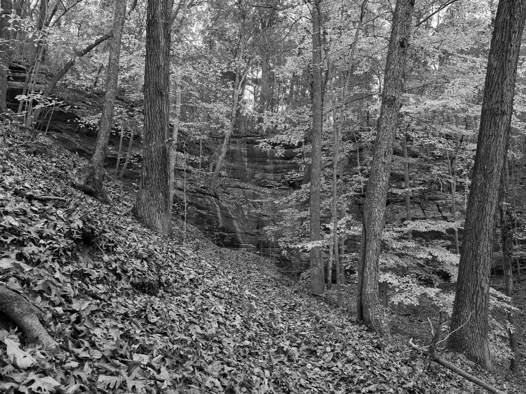
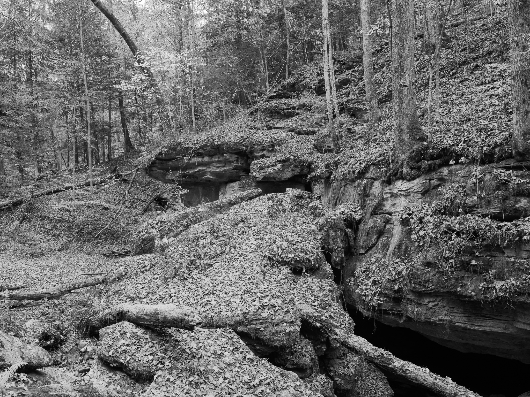
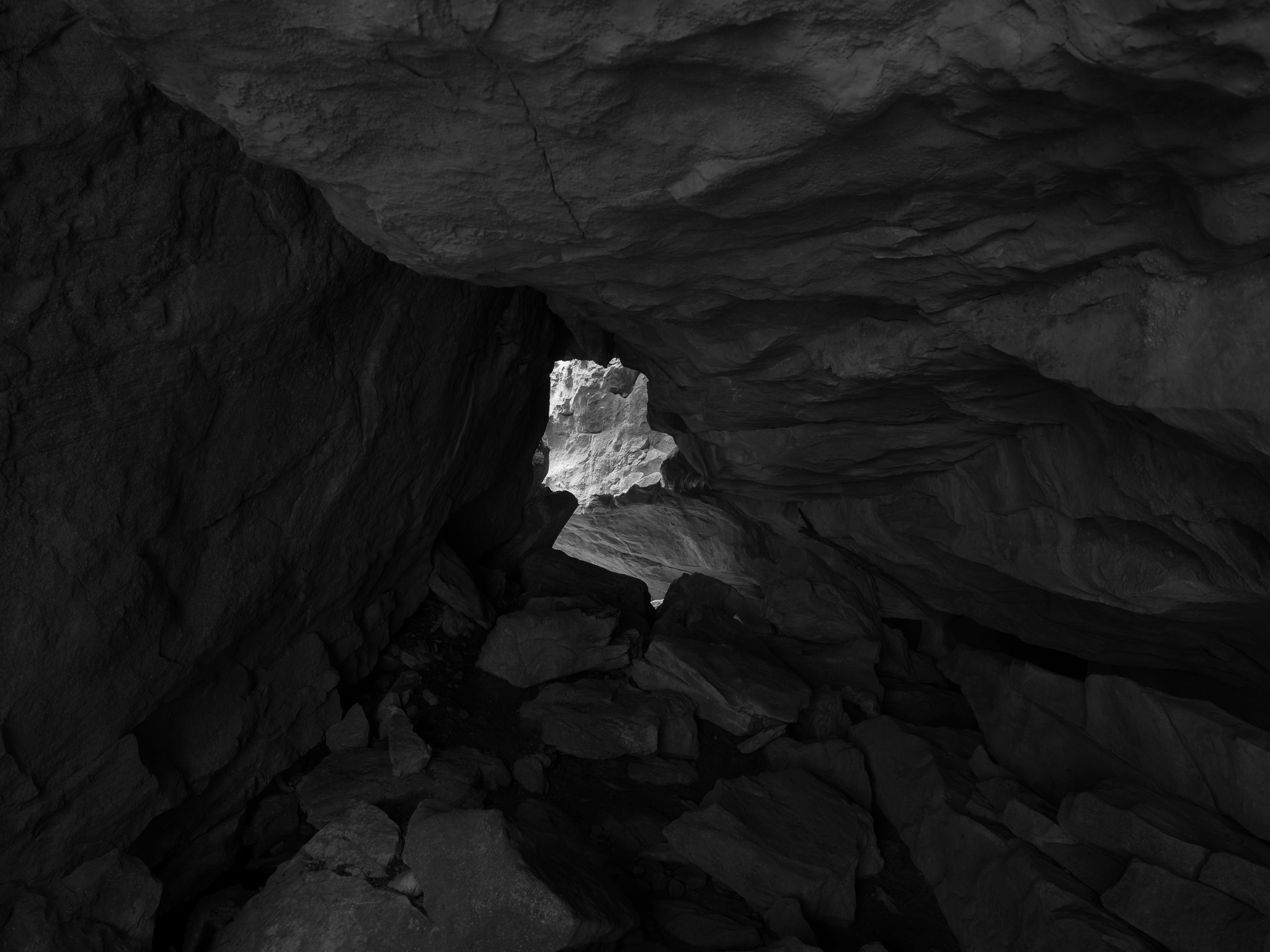
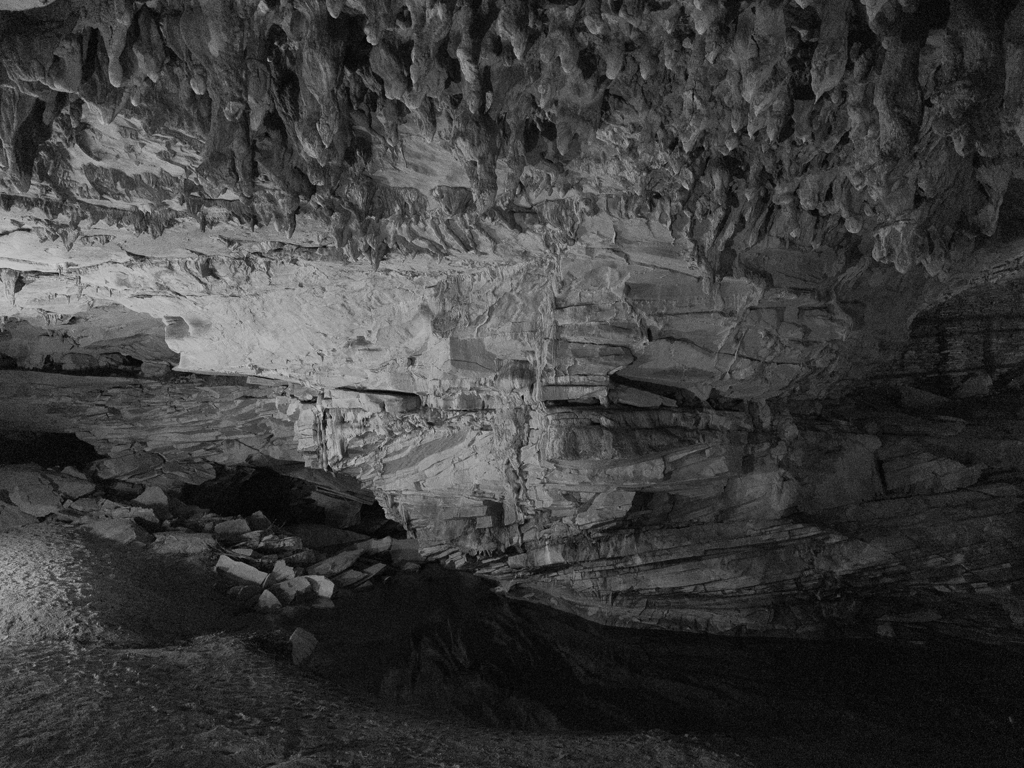
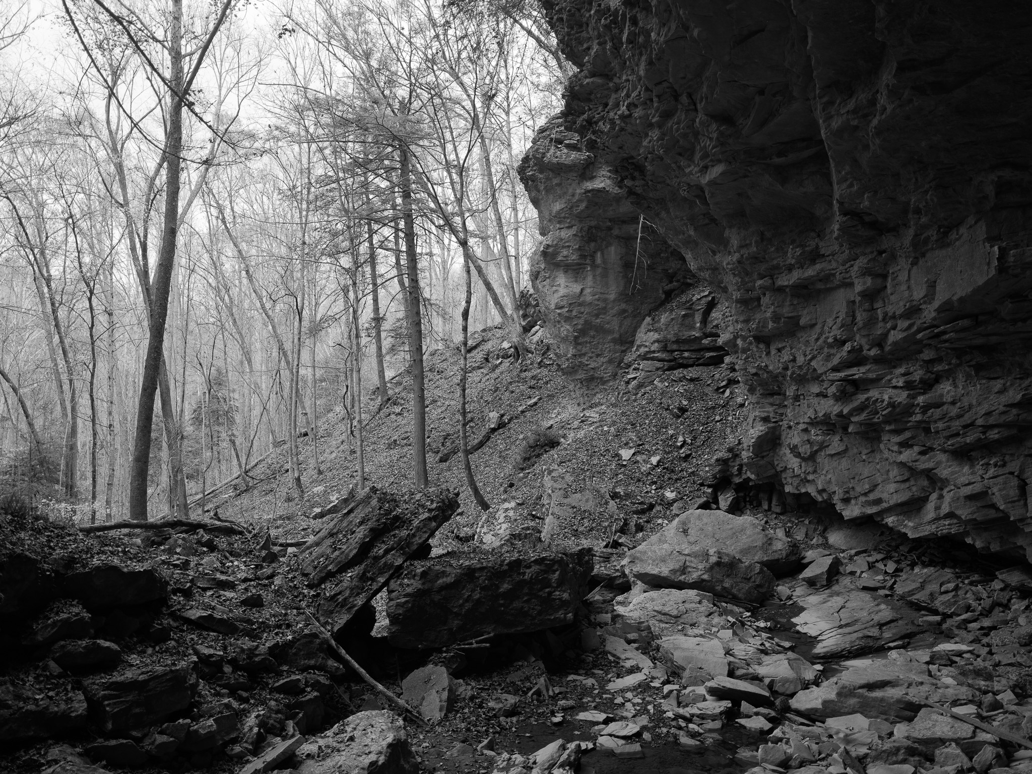
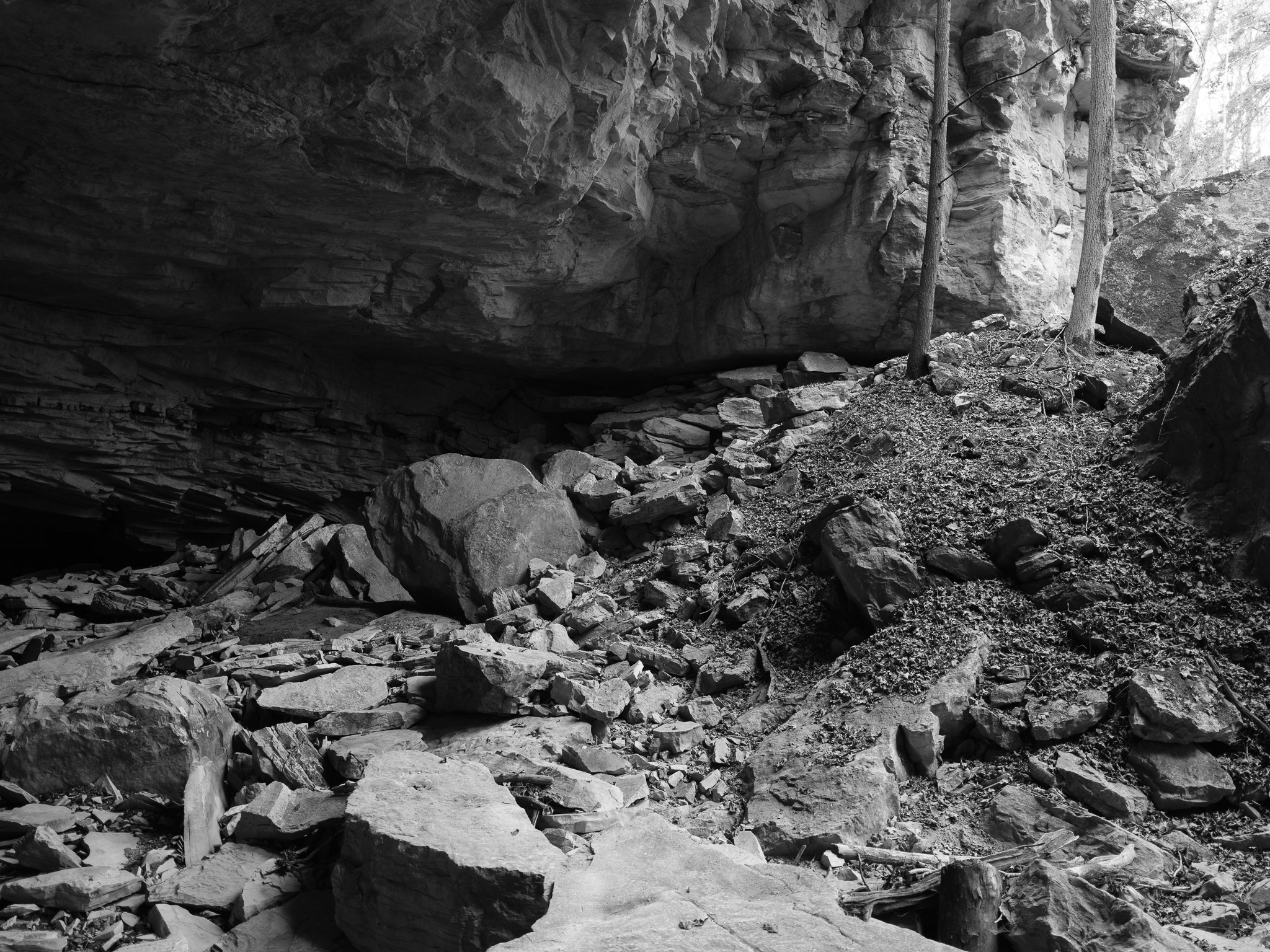
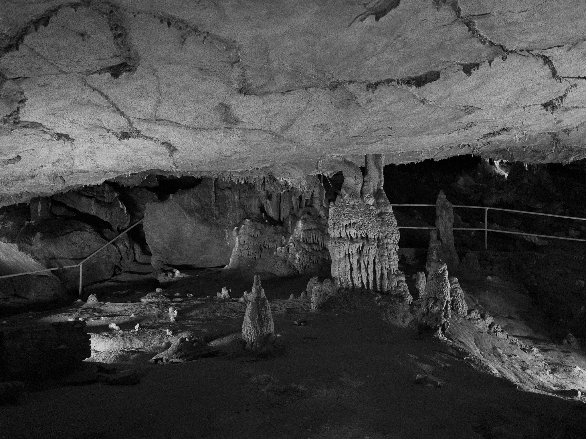
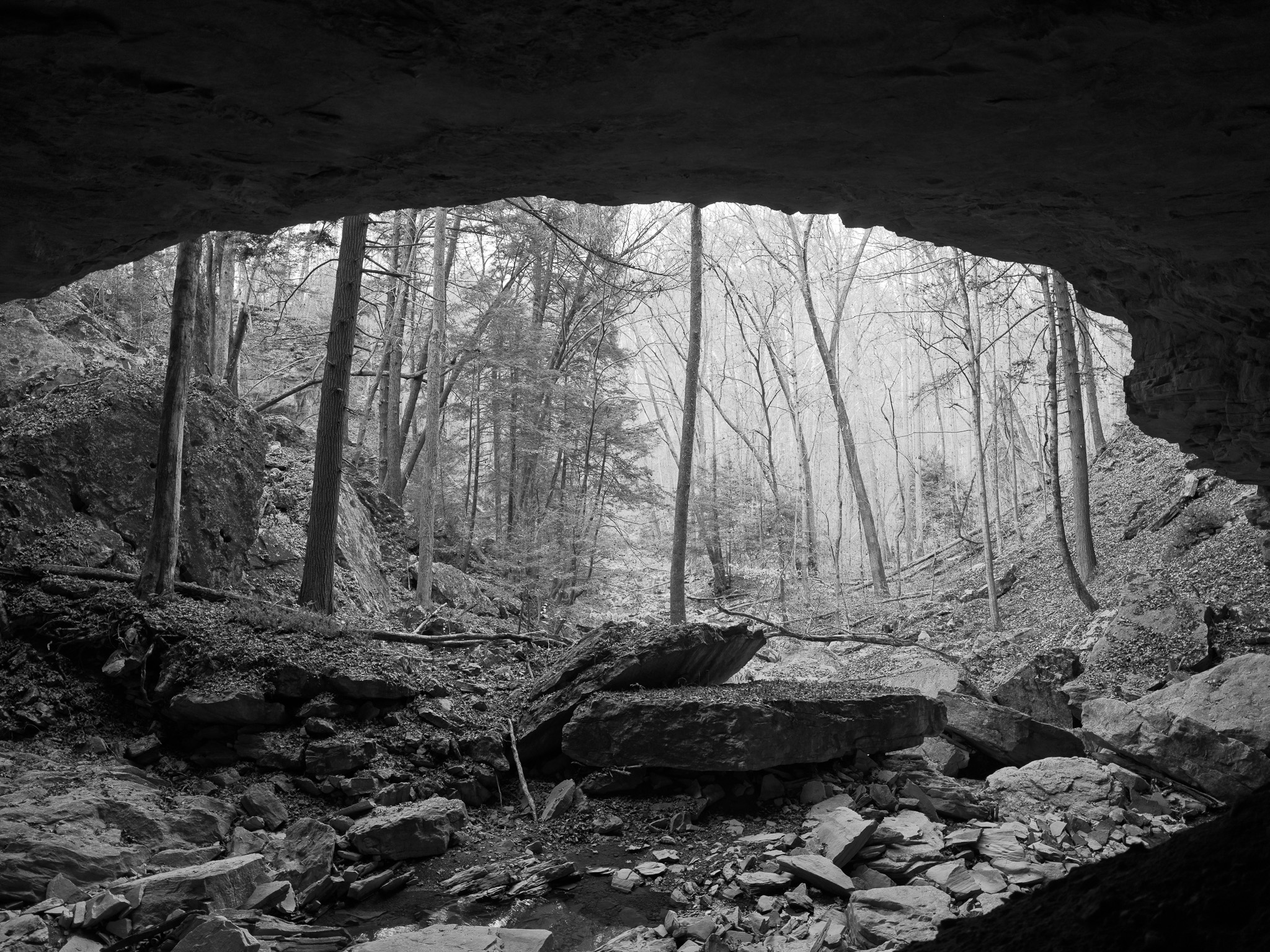
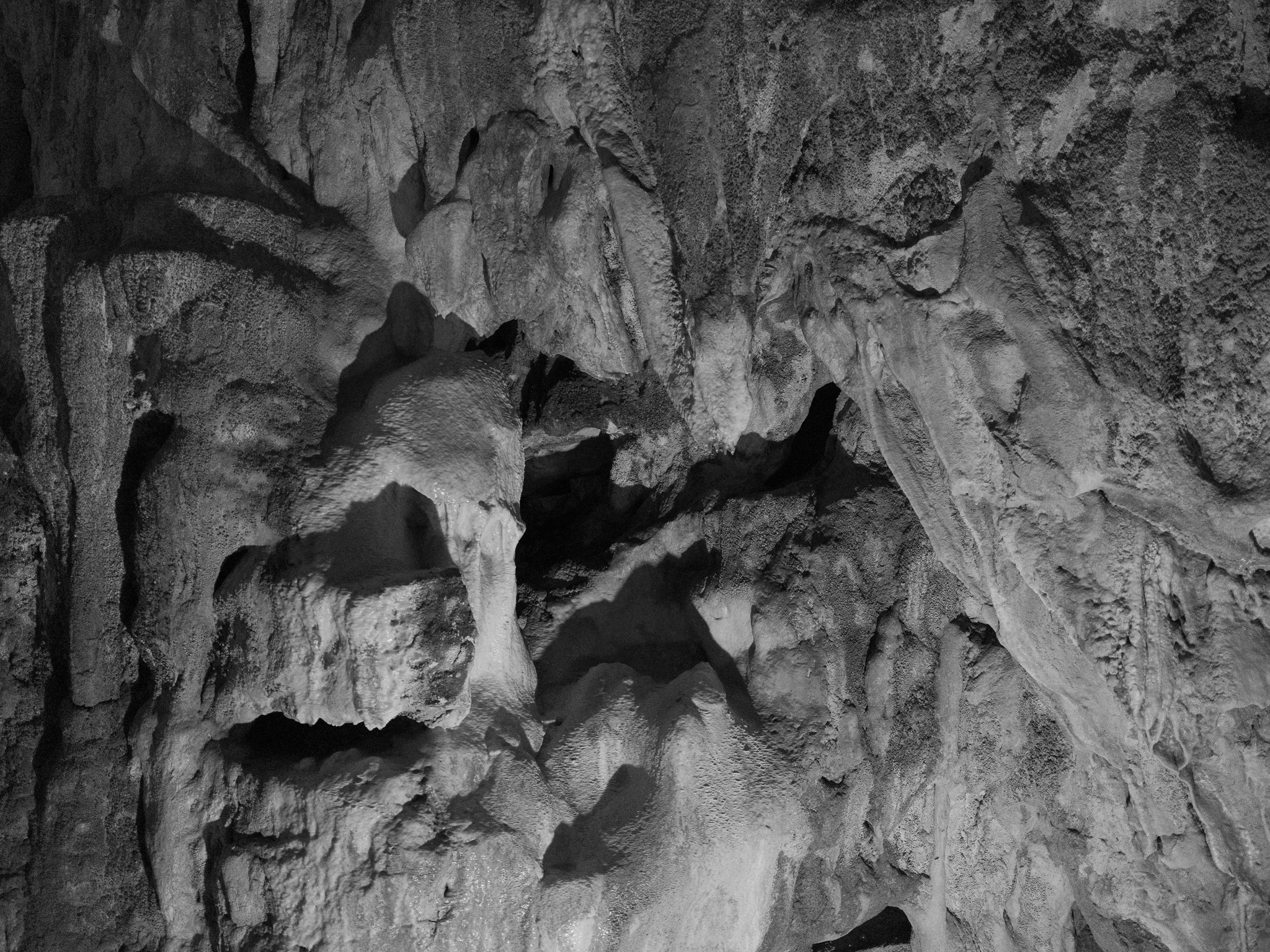
~330 to 323 Mya Mississippian Slade Formation limestone, about 25 m thick, in which the caves formed, Saltpeter Cave along a bedding plane near the top of the Slade; the ridgetops are capped by the Upper Mississippian Carter Caves Sandstone at the base of the Paragon Formation, the caprock of the karst system, in a fluviokarst of deeply incised valleys covering 106 km2. Arches form in both rocks: Fern Bridge and Cascade Bridge are joint-controlled alcove arches in the Carter Caves Sandstone, and an arch in the park's Slade limestone is 193 feet (59 m) wide, the widest measured in Kentucky. Proglacial Lake Tight backflooded the valleys to the 275 m contour for some 10,000 years in the mid-Pleistocene, about 0.77 Mya, and its shorelines helped cut the sandstone arches.
Epoch
Middle to Late Mississippian (Slade Formation; Carter Caves Sandstone of the Paragon Formation)
Shawnee (Shawanwaki) · Tsalagi (Cherokee) · Lenape (Delaware) · Haudenosaunee (Iroquois) · Fort Ancient culture; the Carter Caves Pictograph, site 15CR60, is listed on the National Register under the Prehistoric Rock Art Sites in Kentucky multiple property listing, and the 1963 state marker at Saltpeter Cave records artifacts and Indian graves found in the cavern; Tygarts Creek flows north to the Ohio at South Shore, about 4 miles east of Lower Shawneetown (Shannoah) at South Portsmouth, a Shawnee, Lenape, and Iroquois center of trade and diplomacy from about 1734, built over a Late Fort Ancient Montour phase occupation of 1550 to 1750, abandoned in November 1758 during the French and Indian War when its people moved up the Scioto to the Pickaway Plains; the Haudenosaunee ceded their claim south of the Ohio at Fort Stanwix, November 5 1768, the Cherokee theirs by the treaties of Hard Labor (October 1768) and Lochaber (October 18 1770), and after Dunmore's War the Shawnee agreed at Camp Charlotte (October 1774) to give up hunting south of the Ohio.
Displacement & Tenure
Eastern Kentucky lies outside the federal-domain Royce cession system; no federal Royce cession applies. The Haudenosaunee claim passed at Fort Stanwix (1768) and the Cherokee claim by the treaties of Hard Labor (1768) and Lochaber (1770); Virginia organized Kentucky County in 1776 and opened the land to warrants under the Virginia Land Act of 1779, Kentucky became a state in 1792, and Carter County was formed in 1838. In 1902 the owner, Samuel B. Thomas, cut trails through Saltpeter and X Caves; by 1924 J.F. Lewis had bought the property from Thomas's heirs and formed the Carter Caves Company with local partners. The Grayson and Olive Hill Rotary Clubs raised the purchase money in 60 days, and on July 31 1946 the company sold 945 acres to the Commonwealth of Kentucky under Governor Simeon Willis. Cascade Cave, privately shown since 1925, was added in 1959, and the Bat Cave and Cascade Caverns State Nature Preserves, two tracts totaling 155 acres, were dedicated December 16 1981.
Shadow History
Saltpeter Cave, site 15Cr99, was an industrial niter mine before it was a tourist cave. During the War of 1812 miners dug, leached, and dumped more than 620 cubic meters of cave earth, leaving spoil piles to the ceiling, a passage floor lowered about 3 feet for most of its length, and 25 leaching vats. Who owned the works and who did the labor is unknown: the 2001 National Register nomination reports that searches of the DuPont records at Hagley, the National Archives, University of Kentucky Special Collections, and the Kentucky State Archives all came back negative, and Greenup County's records were lost in the 1937 flood. Over some 145 years of tourism visitors stripped the vats' wooden sides for souvenirs, torches, and fuel, and a concrete vat built in 1937 piped the cave's drip water to the fountains of a lodge. The nomination also records a bat protection group's view that the mining and the tourism drove thousands of Indiana bats out of the cave, which has closed each winter since 1997 in an attempt to bring them back. Bat, Saltpetre, and Laurel Caves were closed from 2008 or 2009, and in February 2013 white-nose syndrome was confirmed in bats from all three, caves that shelter about half of Kentucky's hibernating Indiana bats.
Ecology
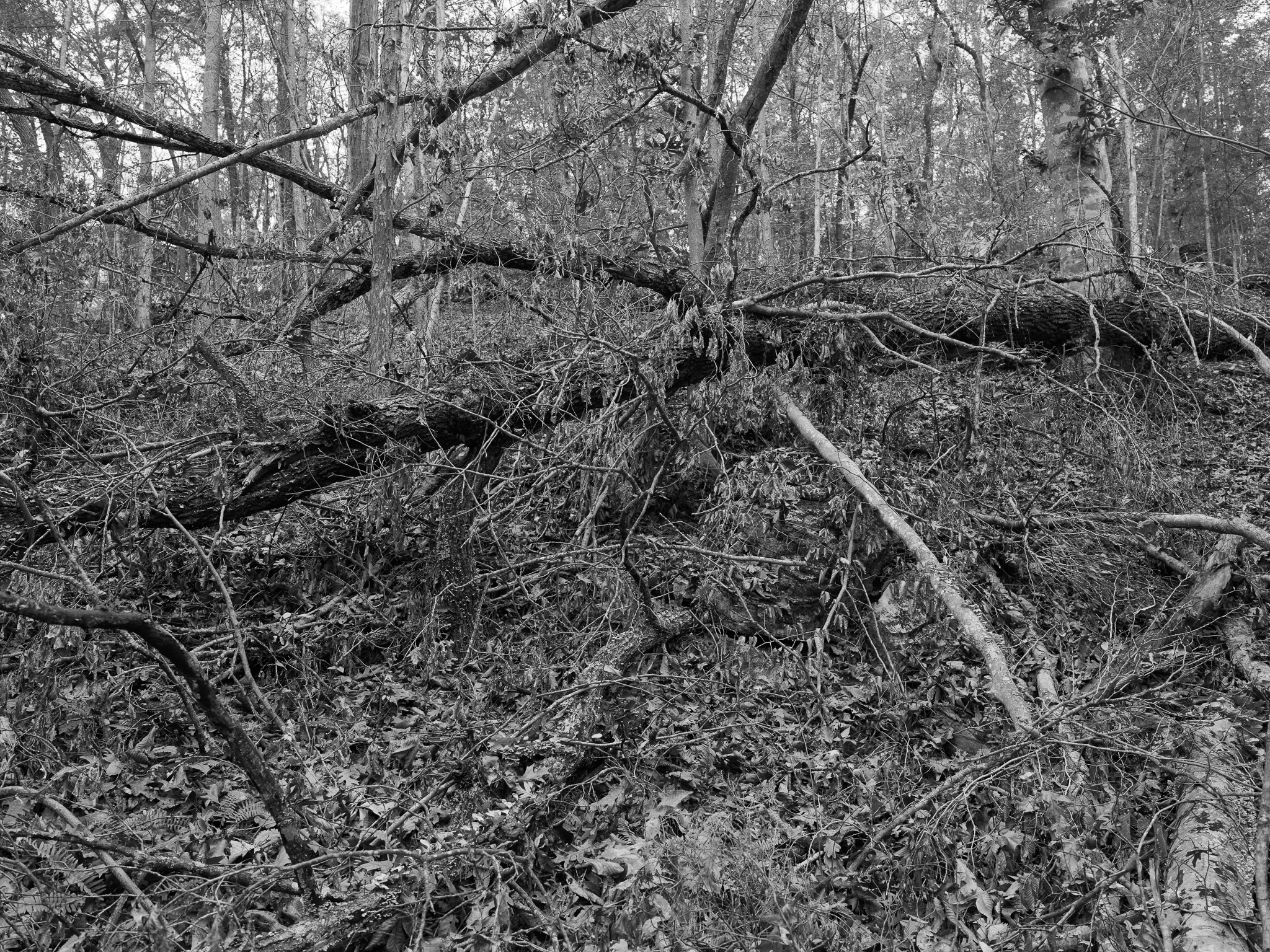
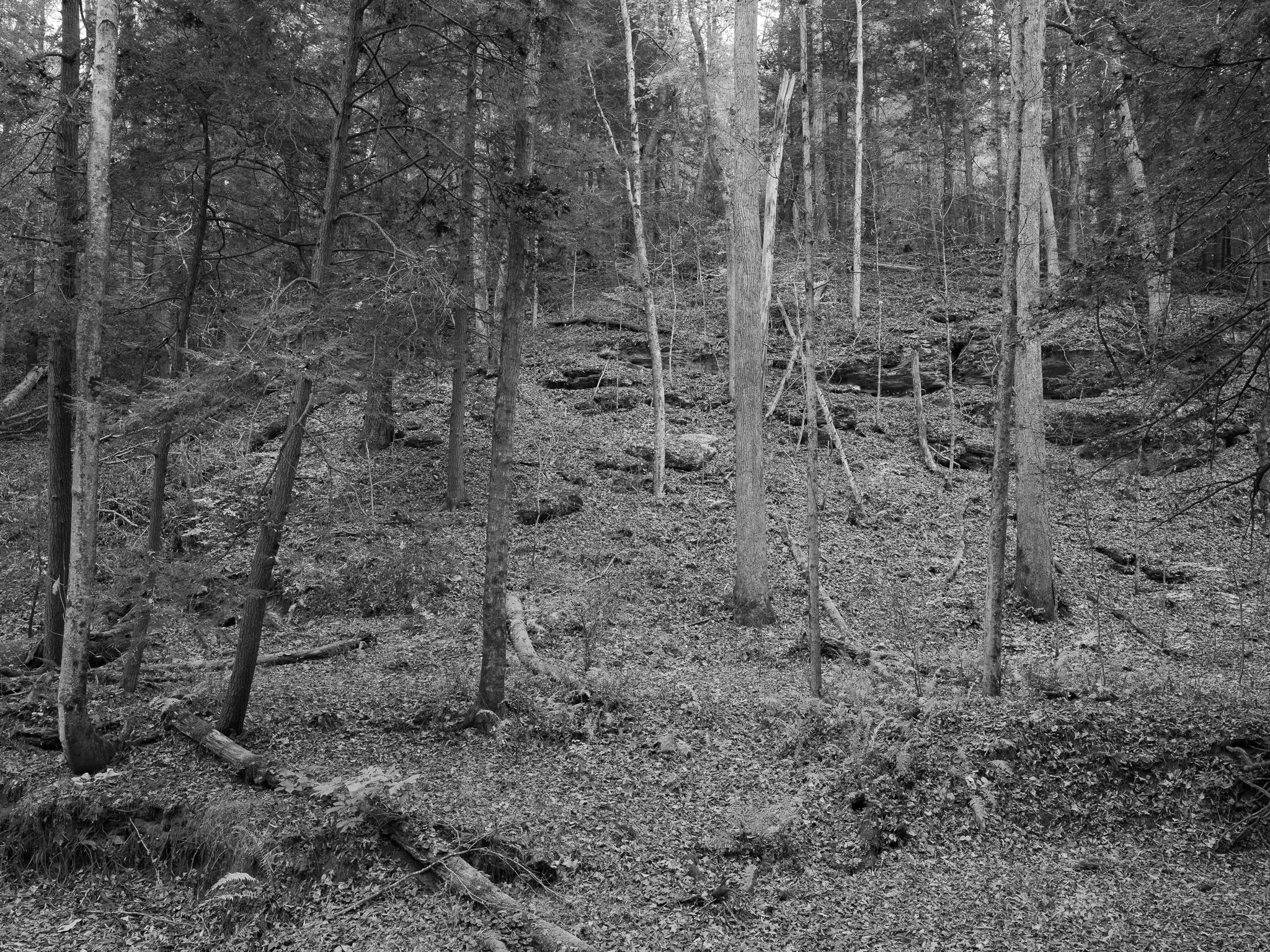
Mixed hardwood forest on karst: southwest slopes almost exclusively white oak with black oak and pignut hickory, northeast slopes tuliptree with white oak and sugar maple, and cliffline communities of sugar maple, chinkapin oak, blue and white ash, American basswood, and northern red oak; Cascade Caverns protects relict mountain maple (Acer spicatum) and Canada yew (Taxus canadensis), with Allegheny woodrat, state endangered limber honeysuckle, and state threatened downy arrowwood.
Hydrology
Tygarts Creek, 88 miles long and draining 339.6 square miles, passes Olive Hill and the park on its way to the Ohio River at South Shore and is the principal stream here; its tributaries Cave Branch and James Branch hold the caves, and Box Canyon is a solution valley that began as James Branch. Cascade Cave holds a lake room and a 30-foot underground waterfall; Smoky Valley Lake is a 45-acre impoundment.