Geology
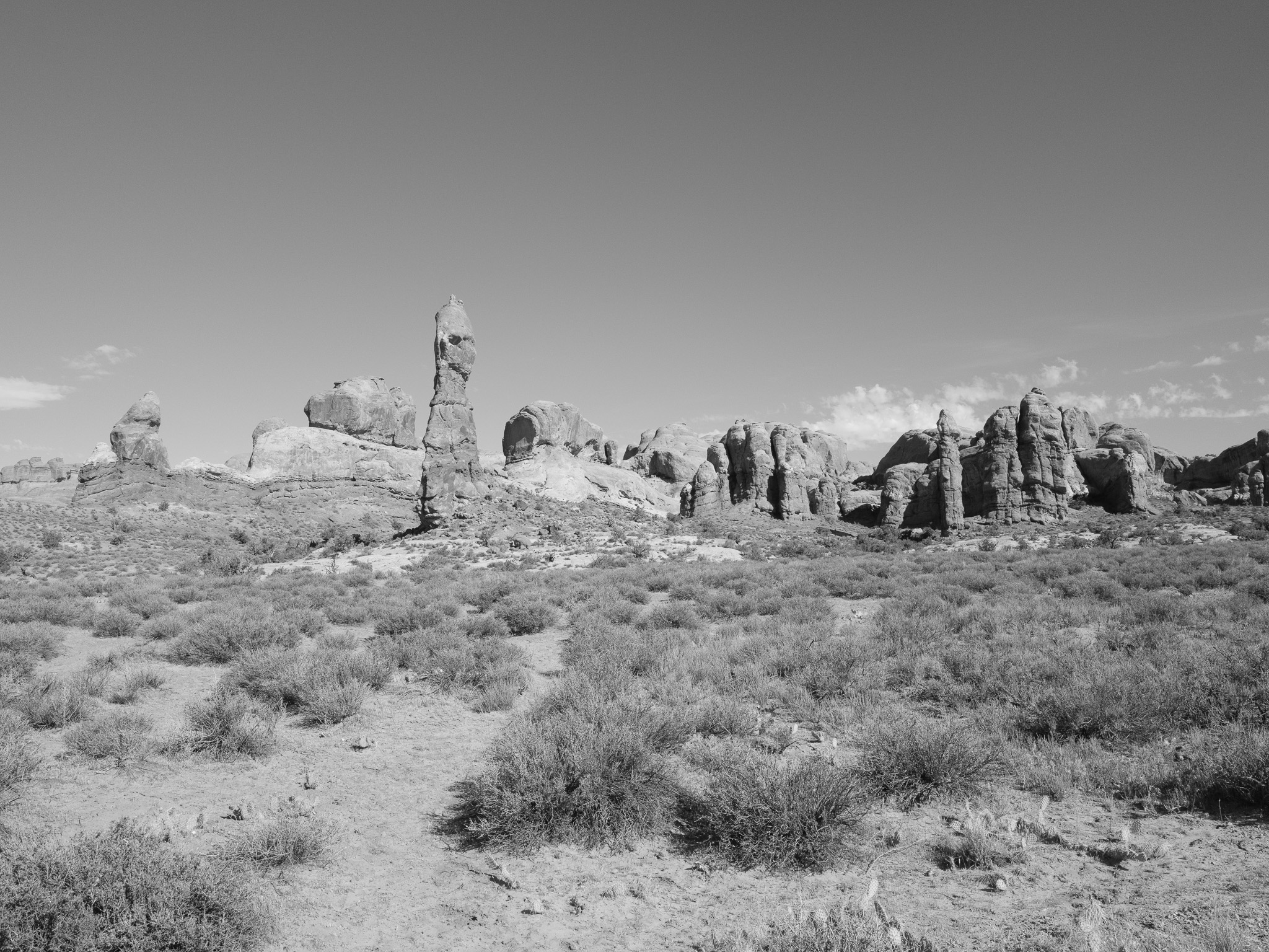
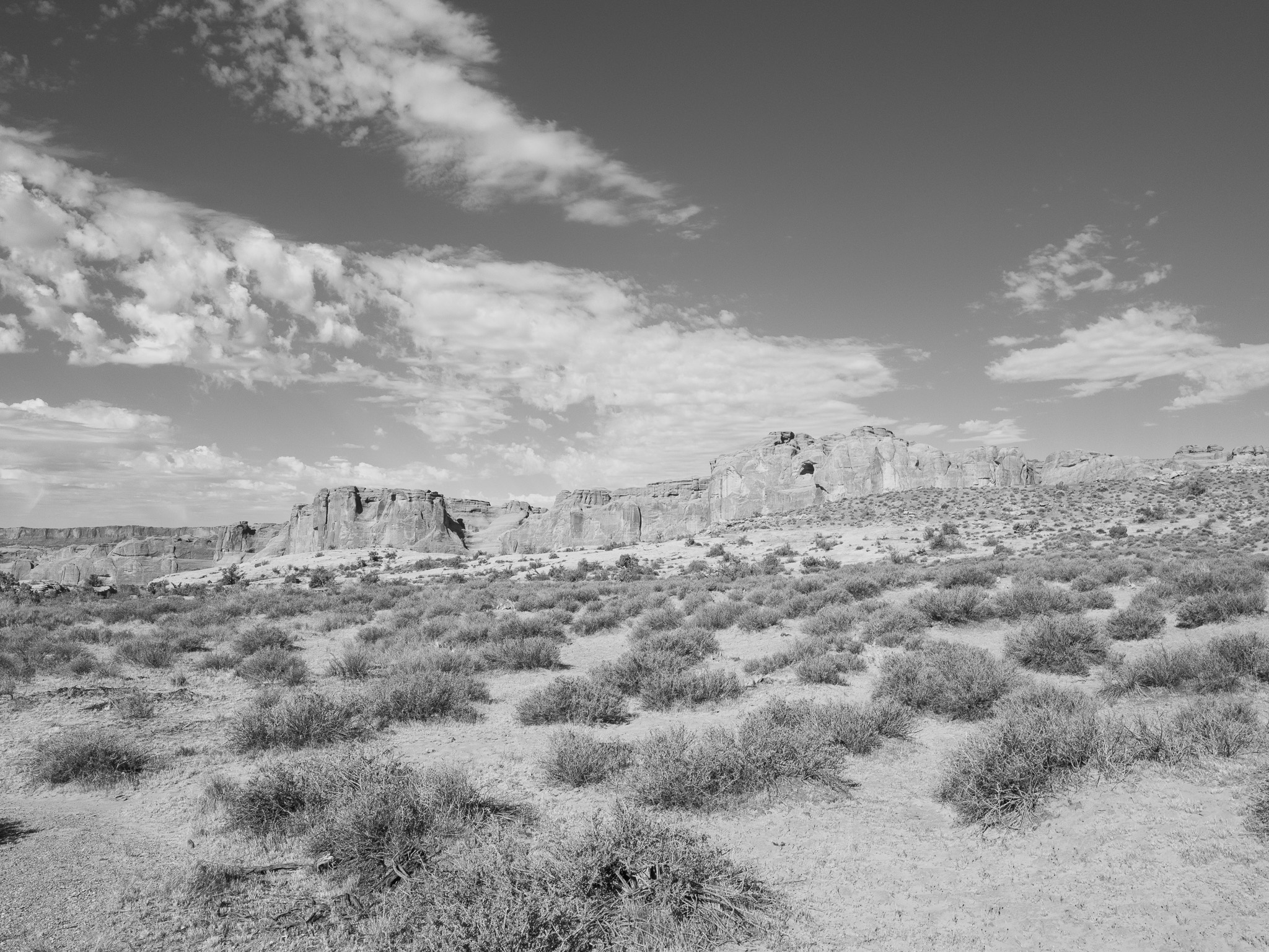
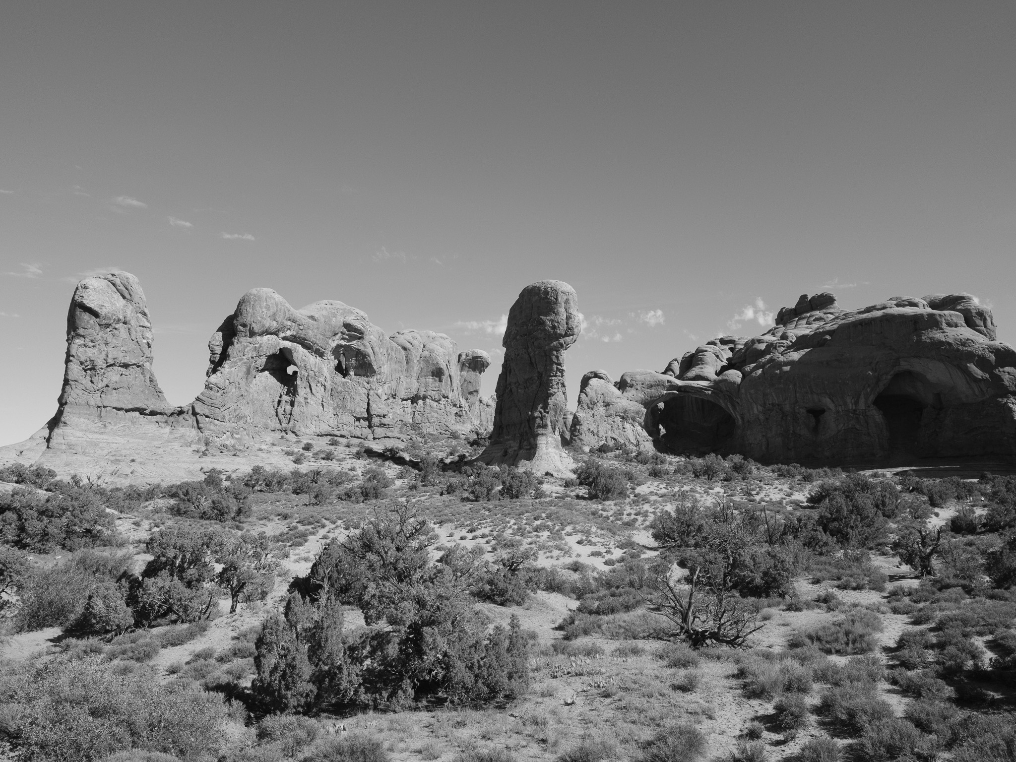
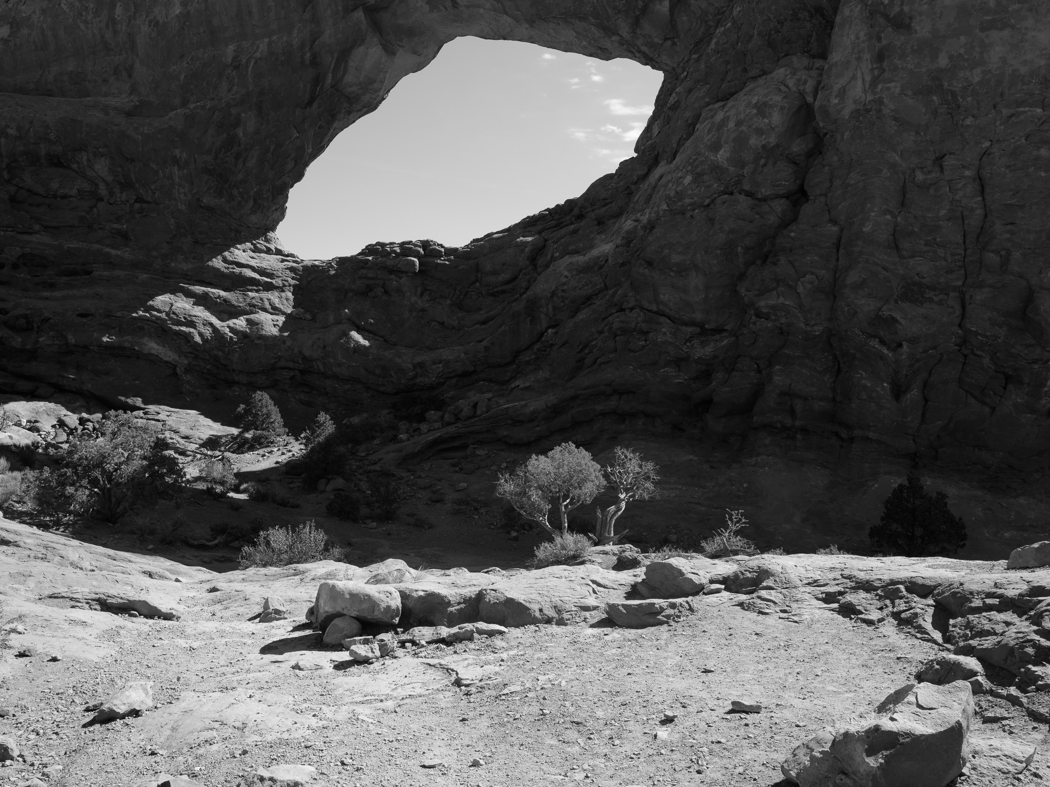
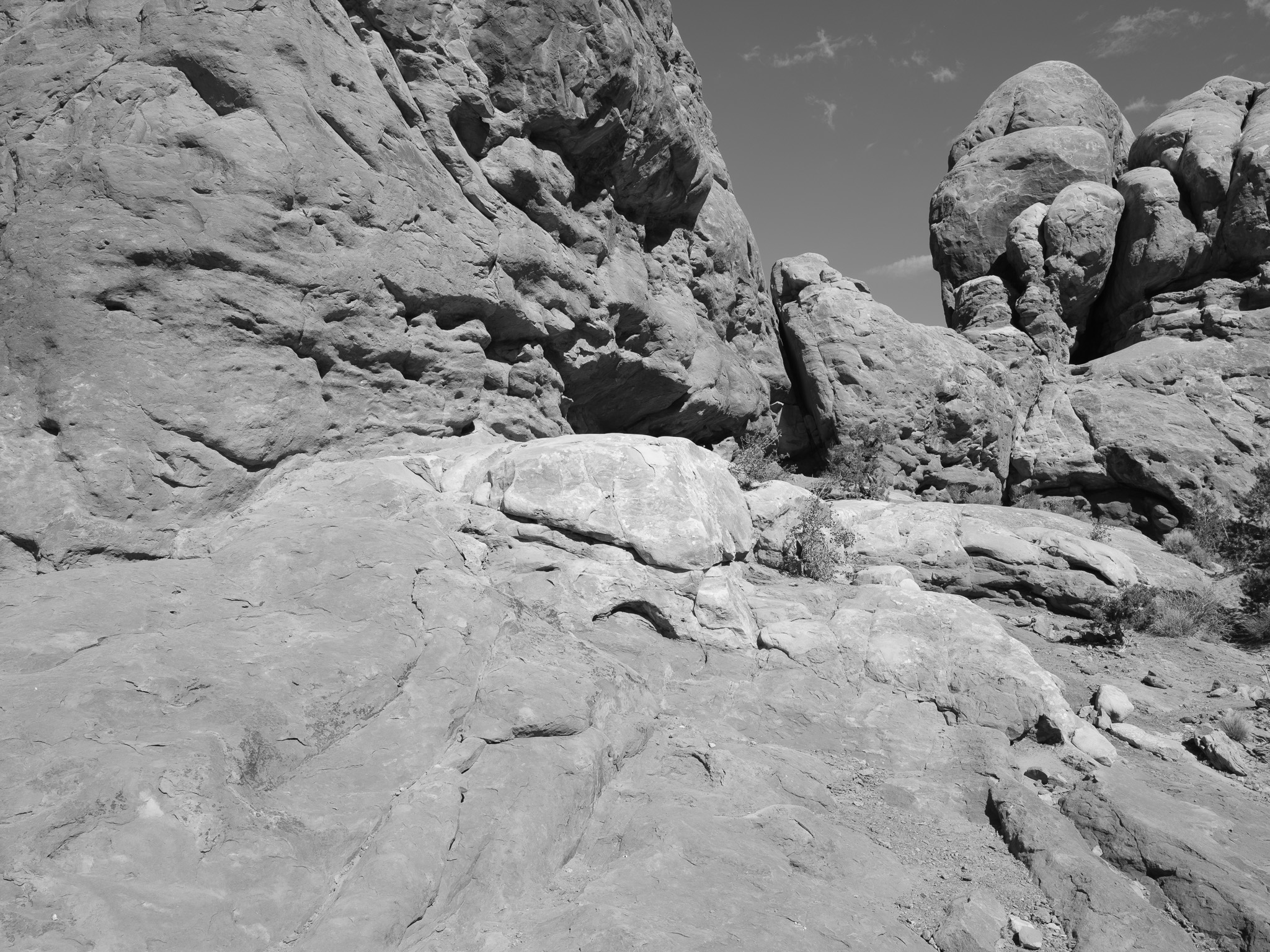
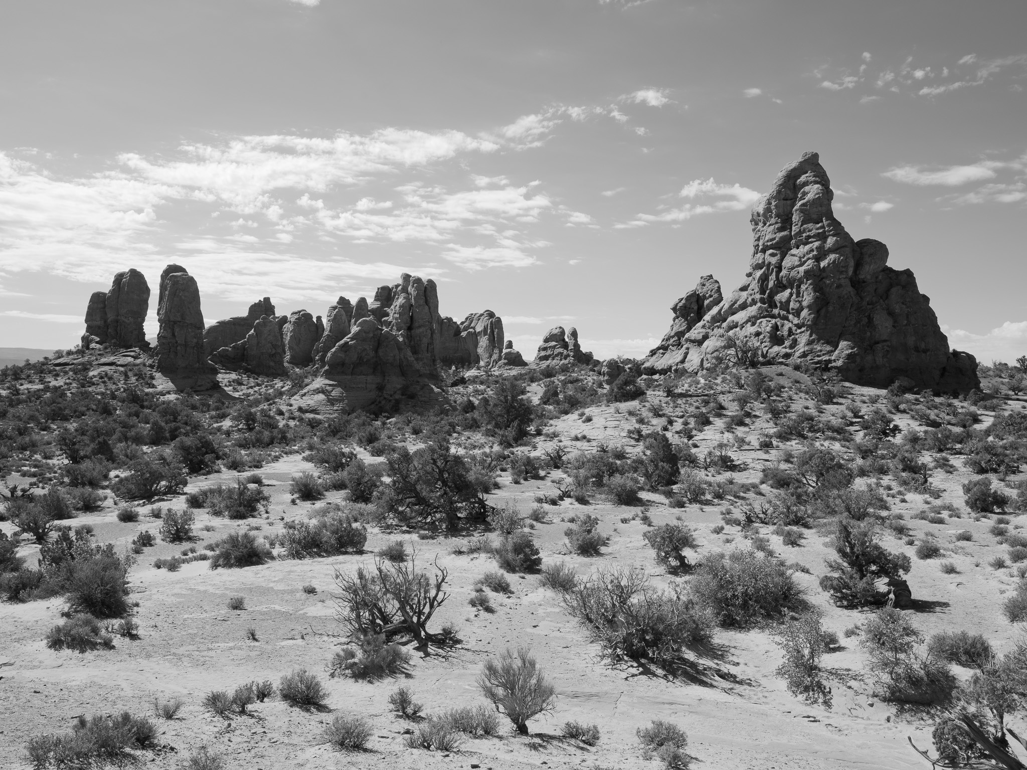
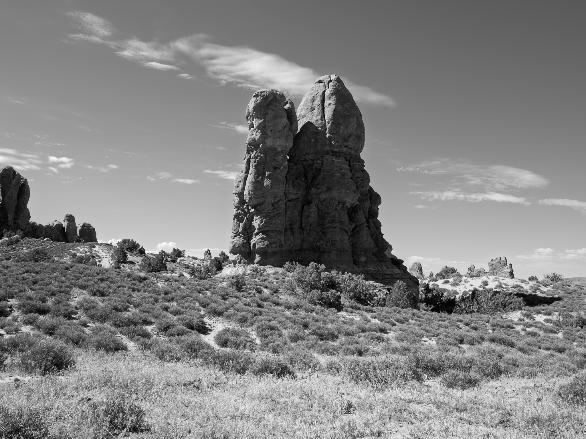
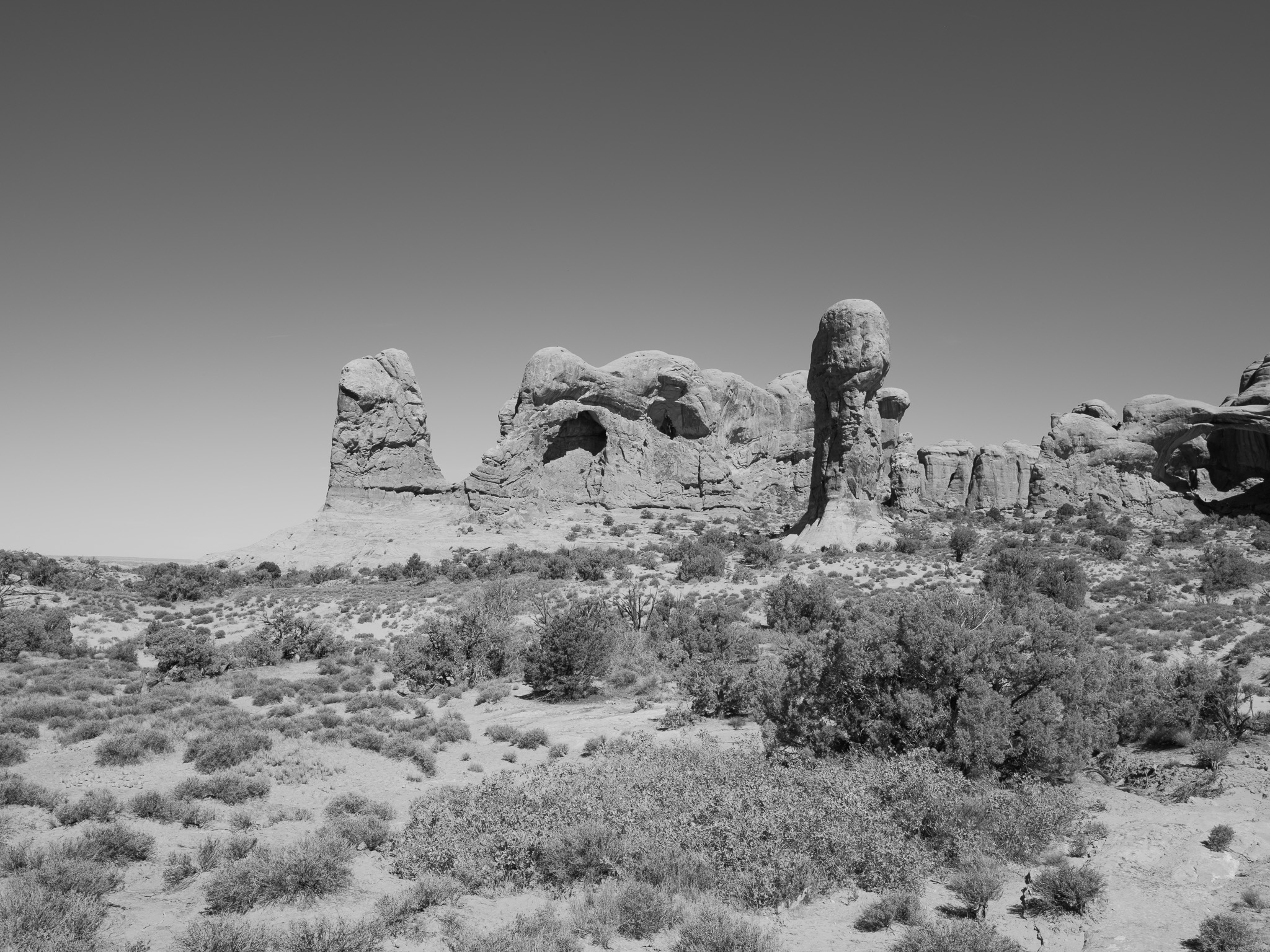
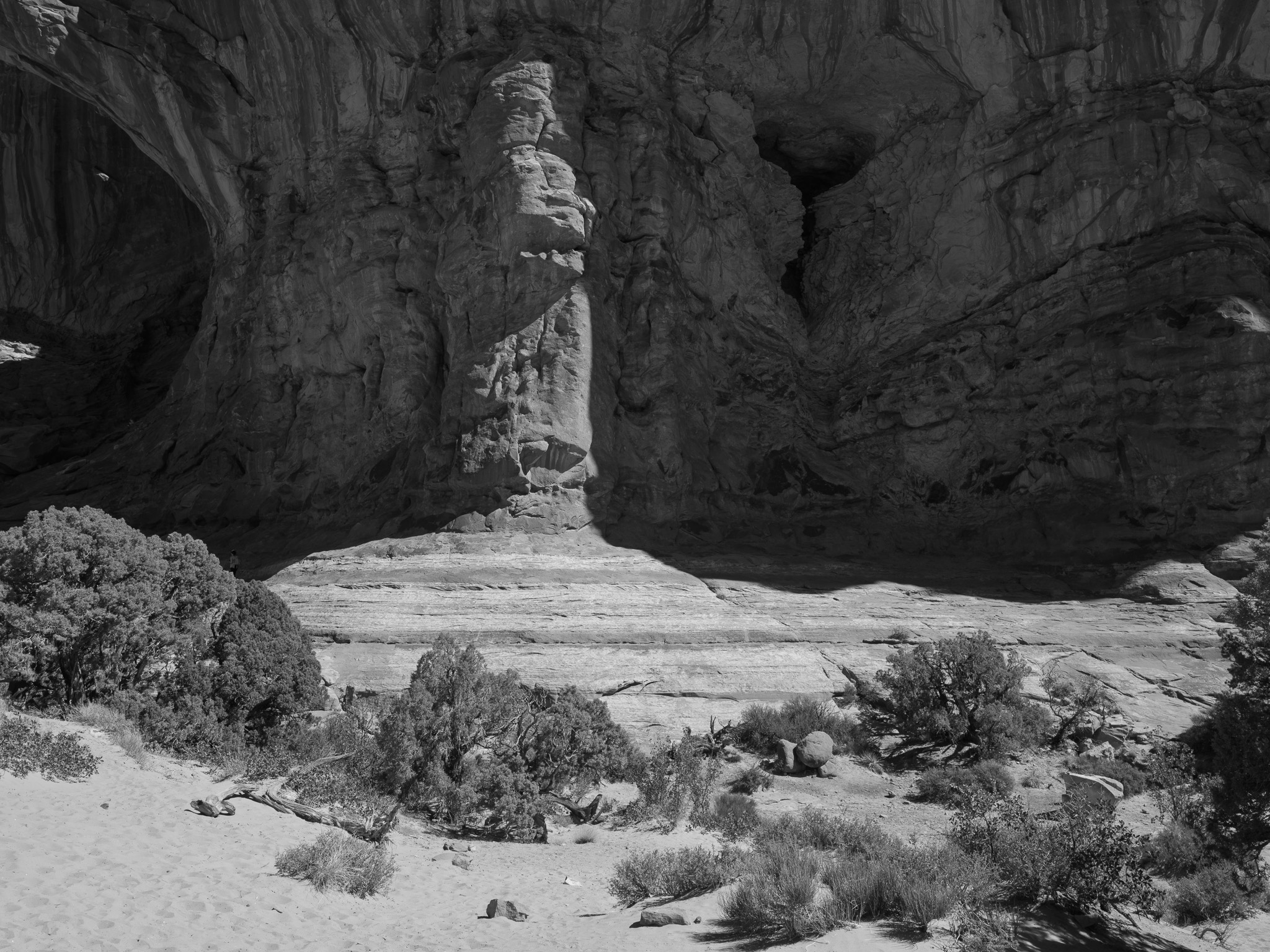
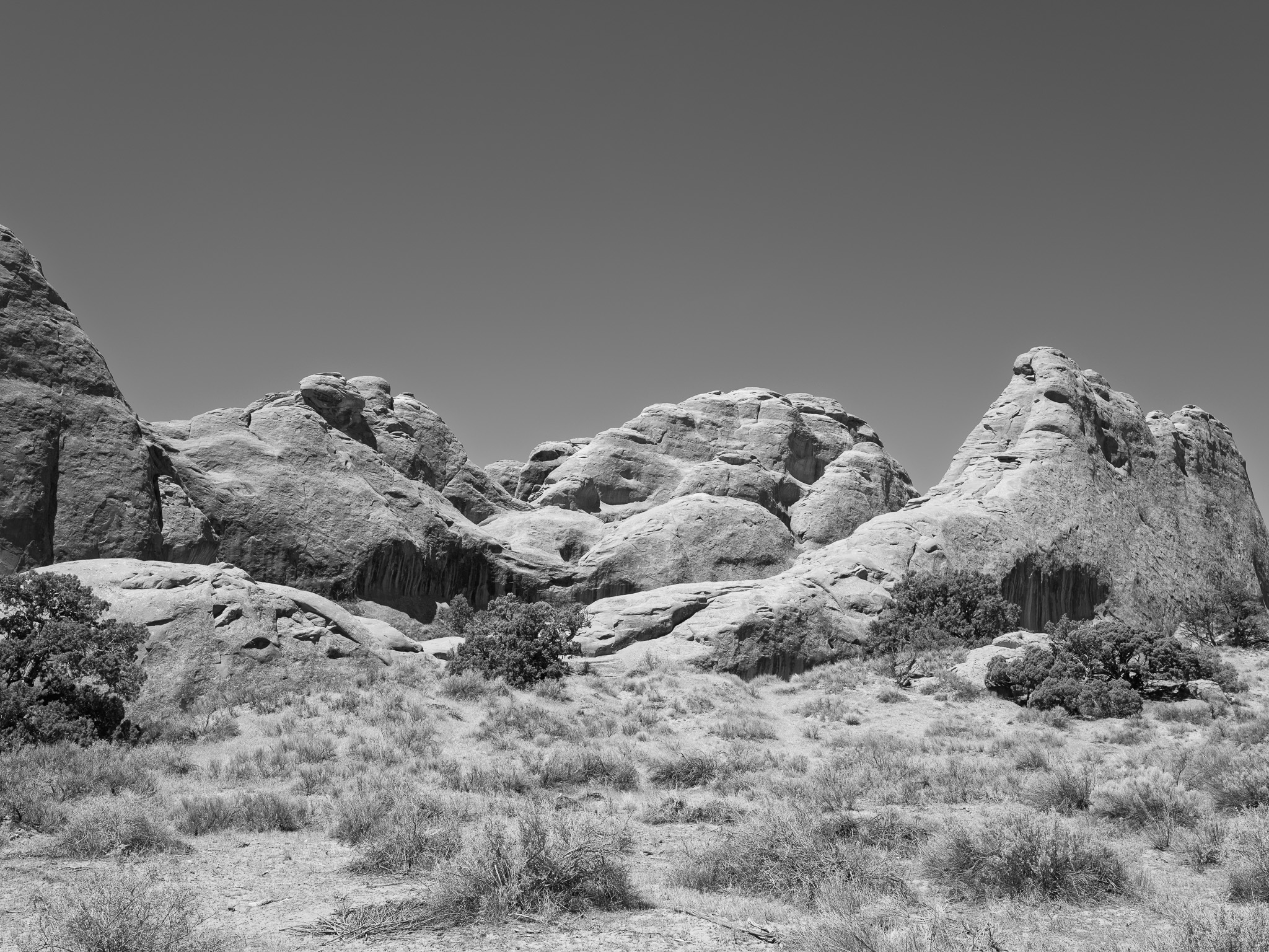
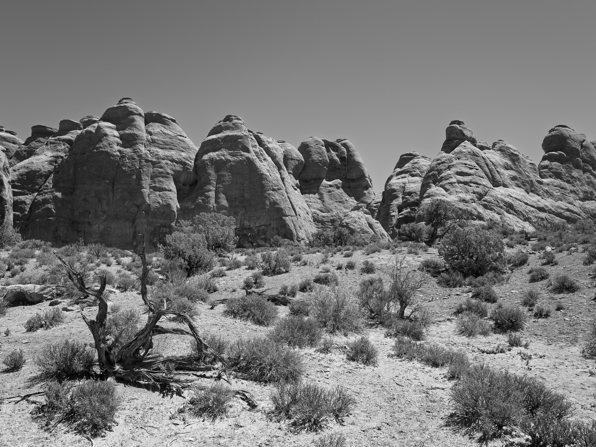
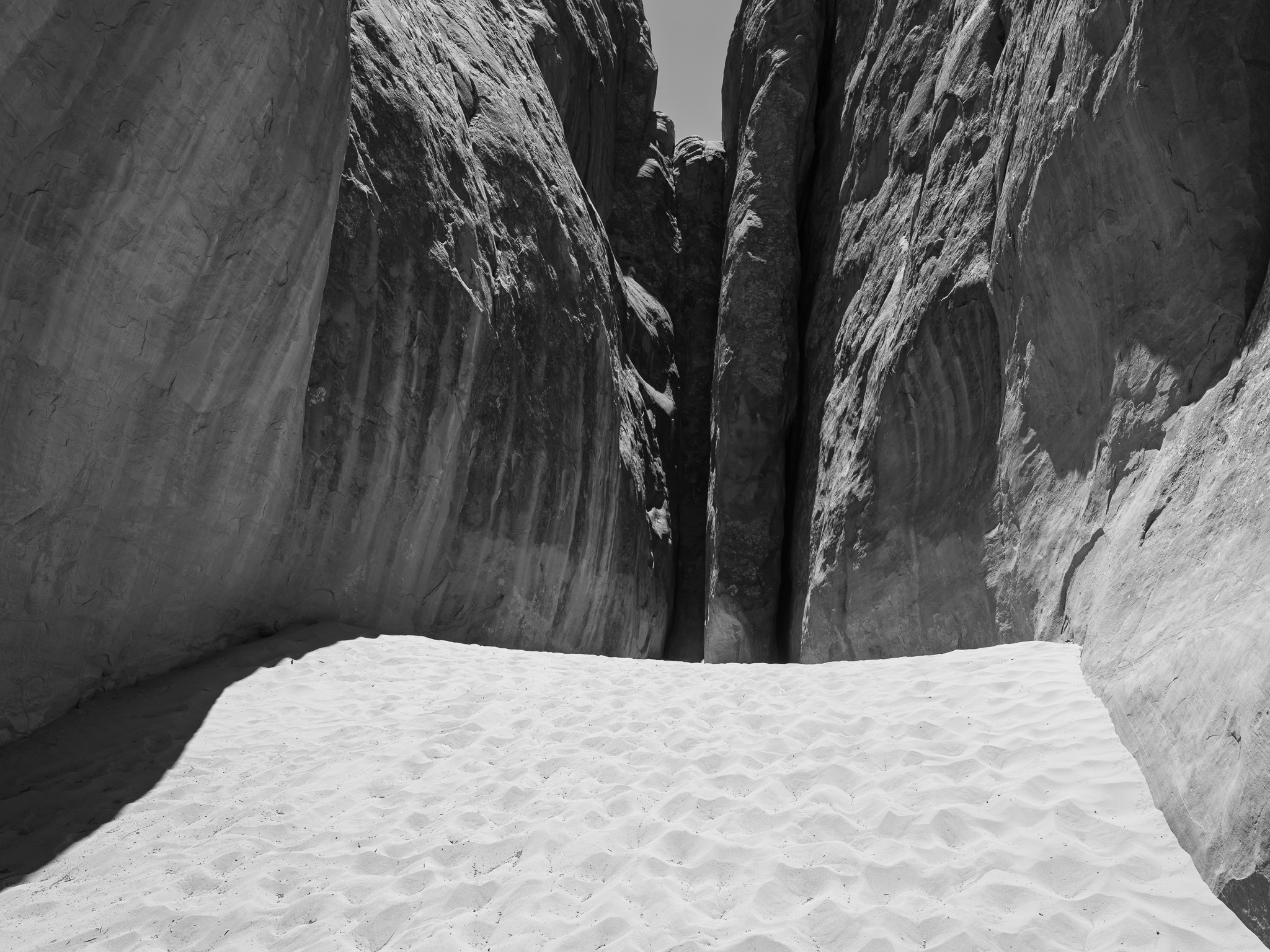
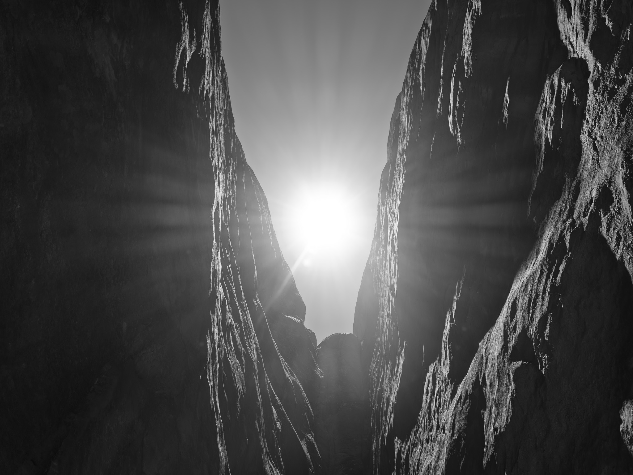
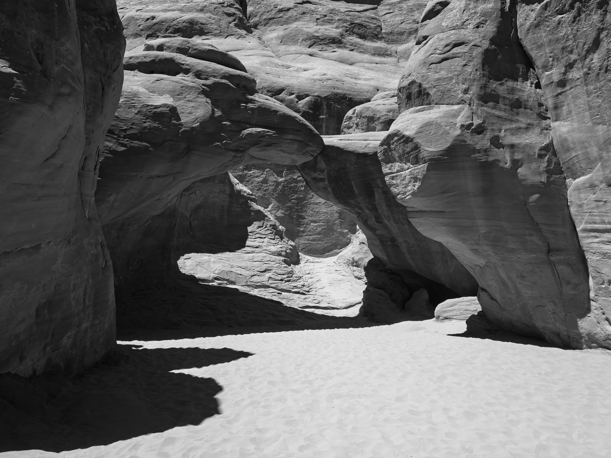
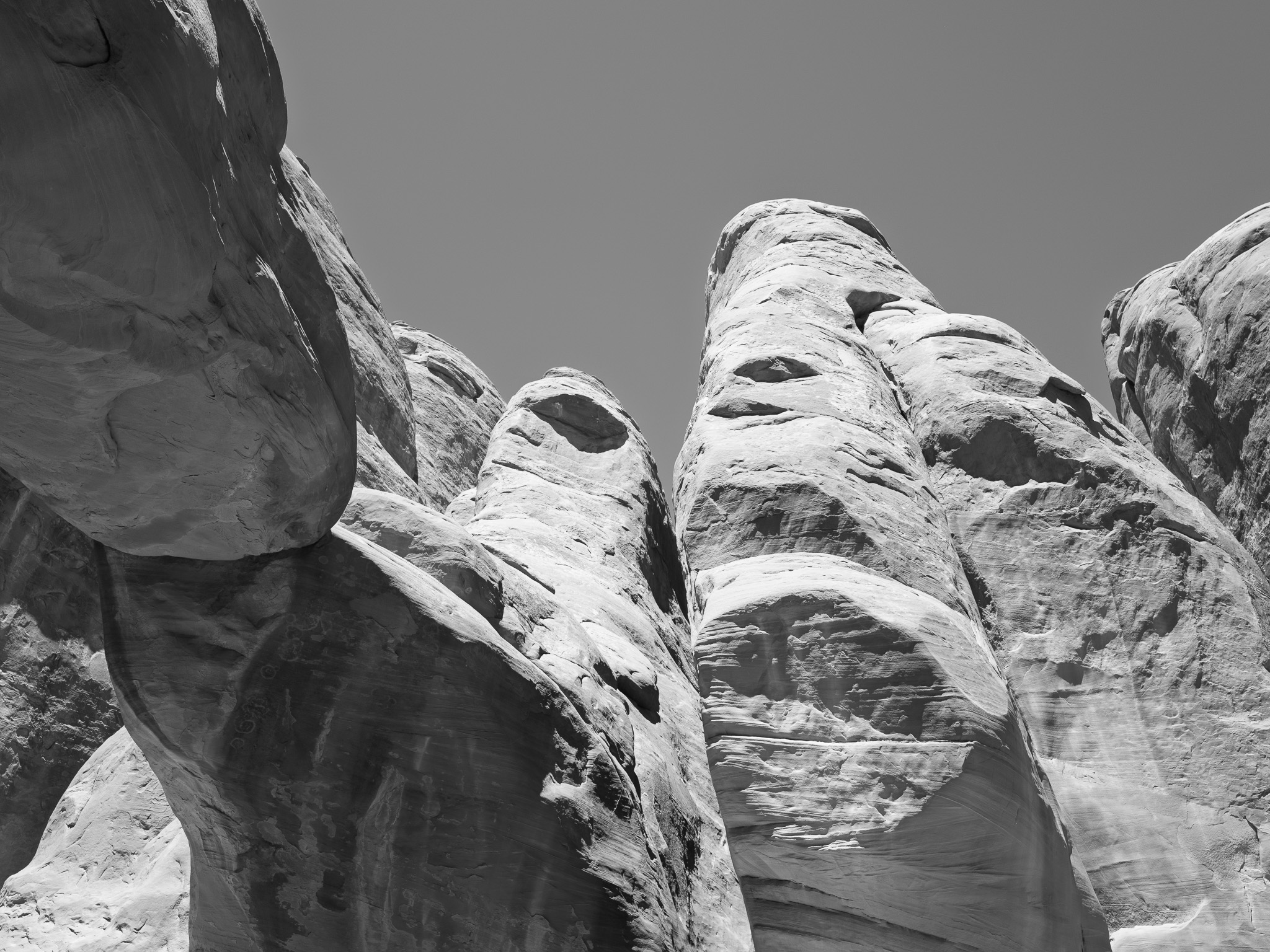
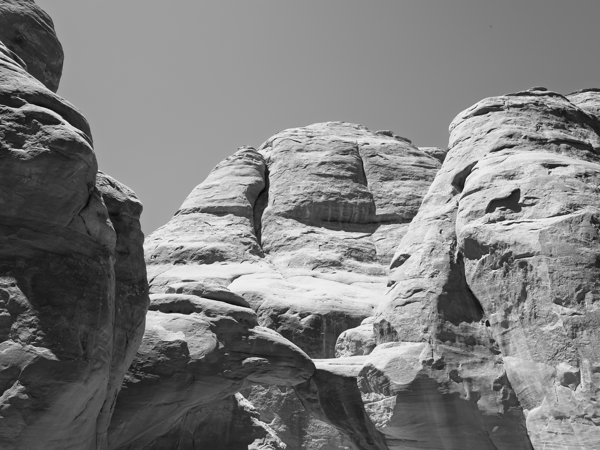
~165-145 Mya Middle to Late Jurassic Entrada Sandstone (Slick Rock Member), the wind-deposited desert sandstone in which nearly all the arches are cut; the park's structure rests on a ~300 Mya Pennsylvanian salt bed (Paradox Formation) whose slow flow and collapse buckled the overlying rock into the fins that erode into arches
Epoch
Middle to Late Jurassic (Entrada Sandstone) / Pennsylvanian (Paradox salt)
Native lands
Ute (Núu-agha-tʉvʉ-pʉ̱), specifically the Sheberetch or Seuvarits band whose homeland centered on the Moab Valley between the Grand (Colorado) and Green Rivers; Fremont and Ancestral Puebloan agriculturalists occupied the Colorado Plateau from roughly AD 200 to 1300, leaving rock-art panels, though no dwellings within the park; the petroglyph panel at Wolfe Ranch, showing riders on horseback, is attributed to the Ute and postdates the Spanish introduction of the horse; first documented European contact came with the Dominguez-Escalante expedition of 1776 and the Old Spanish Trail that crossed Spanish Valley; the Mormon Elk Mountain Mission of 1855 was abandoned within months after conflict with the Sheberetch, and the band was decimated by a smallpox epidemic between about 1872 and 1876, survivors absorbed into other Ute bands; descendant communities include the Ute Indian Tribe of the Uintah and Ouray Reservation, with Hopi, Southern Paiute, Navajo, and Zuni also holding ancestral ties
Displacement & Tenure
No ratified treaty or Royce cession ever extinguished Ute title to the Moab region of eastern Utah; the 1865 Treaty of Spanish Fork, which would have removed Utah's Ute bands to the Uintah Valley, was never ratified by the Senate. Dispossession proceeded by executive order and settlement: Abraham Lincoln set aside the Uintah Valley Reservation (about 2,039,400 acres) in 1861; following the 1879 White River conflict, the White River (Yamparka and Parianuc) Utes were forcibly removed to the Uintah Reservation in 1881, and the Uncompahgre (Taviwac) Utes under Ouray were removed to the new Ouray Reservation in 1882. The Sheberetch homeland around Moab was taken through Mormon colonization (the failed Elk Mountain Mission of 1855, then permanent settlement from 1877 to 1878) and the band's collapse from disease. The land was proclaimed Arches National Monument on April 12, 1929, enlarged by Presidents Franklin Roosevelt (1938) and Eisenhower (1960), and established as Arches National Park on November 12, 1971 (Public Law 92-155), all carved from this unceded Ute homeland.
Shadow History
Arches's scenic-arch narrative obscures the radioactive legacy of the Cold War uranium boom that built modern Moab. The Atlas Minerals uranium mill, constructed in 1956 about one mile from the park entrance on the bank of the Colorado River, processed ore into yellowcake for the Atomic Energy Commission until it closed in 1984, leaving roughly 16 million tons of mill tailings in an unlined pile over 90 feet high that leached ammonia and heavy metals into the river, the same reach that sustains four federally endangered native fish. The Moab Uranium Mill Tailings Remedial Action (UMTRA) Project, a Department of Energy cleanup with a lifecycle cost exceeding one billion dollars, began shipping the tailings by rail in 2009 to a disposal cell near Crescent Junction 32 miles north; as of 2025 more than 98 percent had been moved, with completion projected around 2034. The mill was one node of the regional boom touched off by Charlie Steen's 1952 Mi Vida strike, and the same decade brought the road paving and "industrial tourism" that ranger Edward Abbey condemned in Desert Solitaire (1968).
Ecology
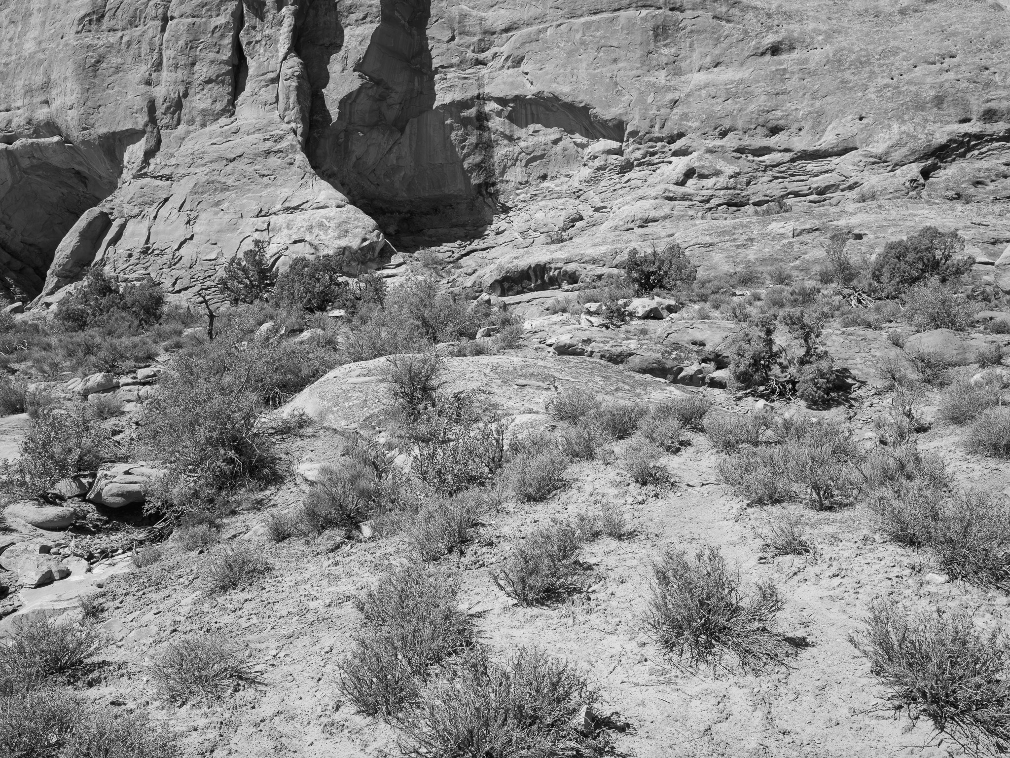
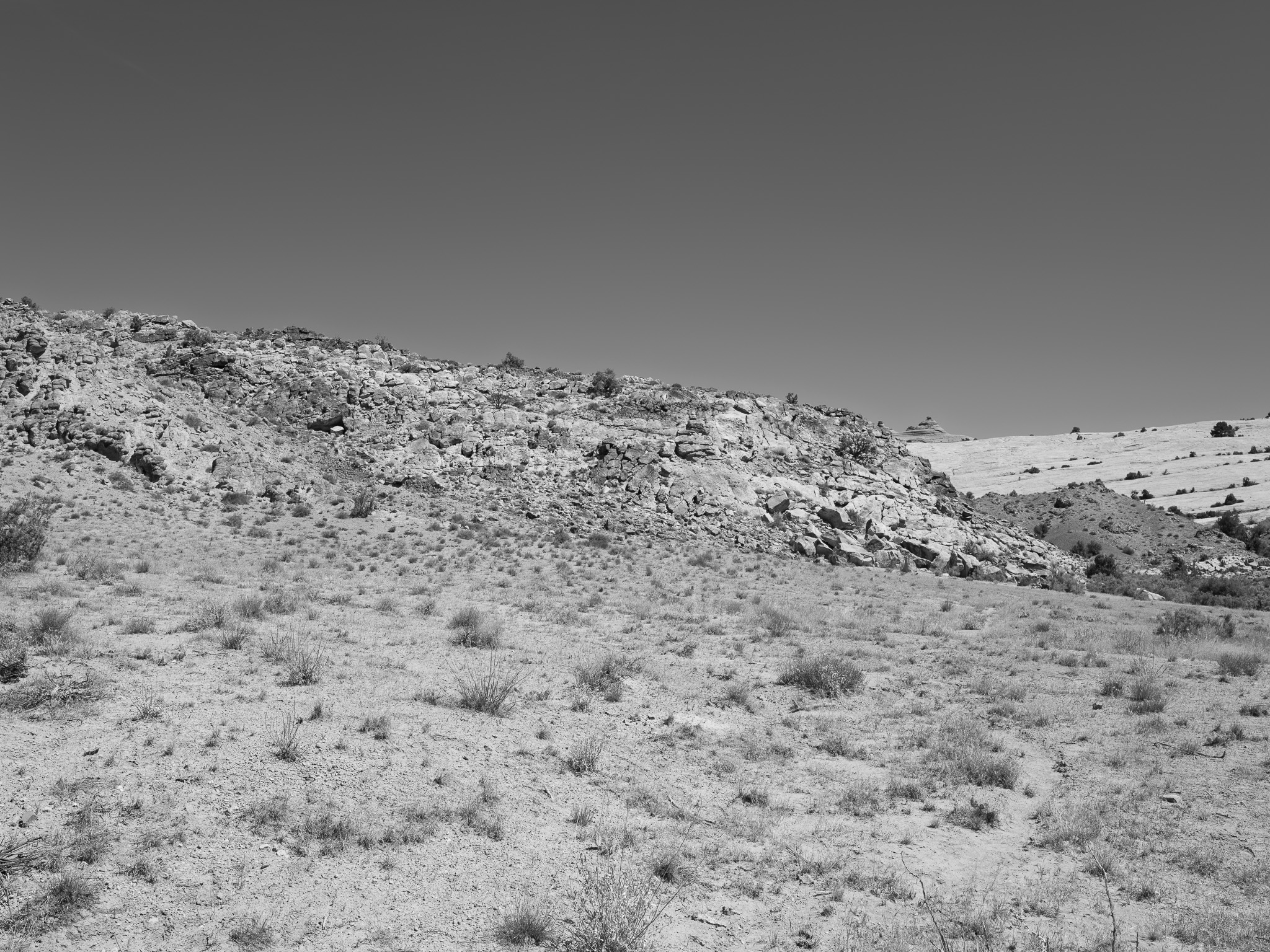
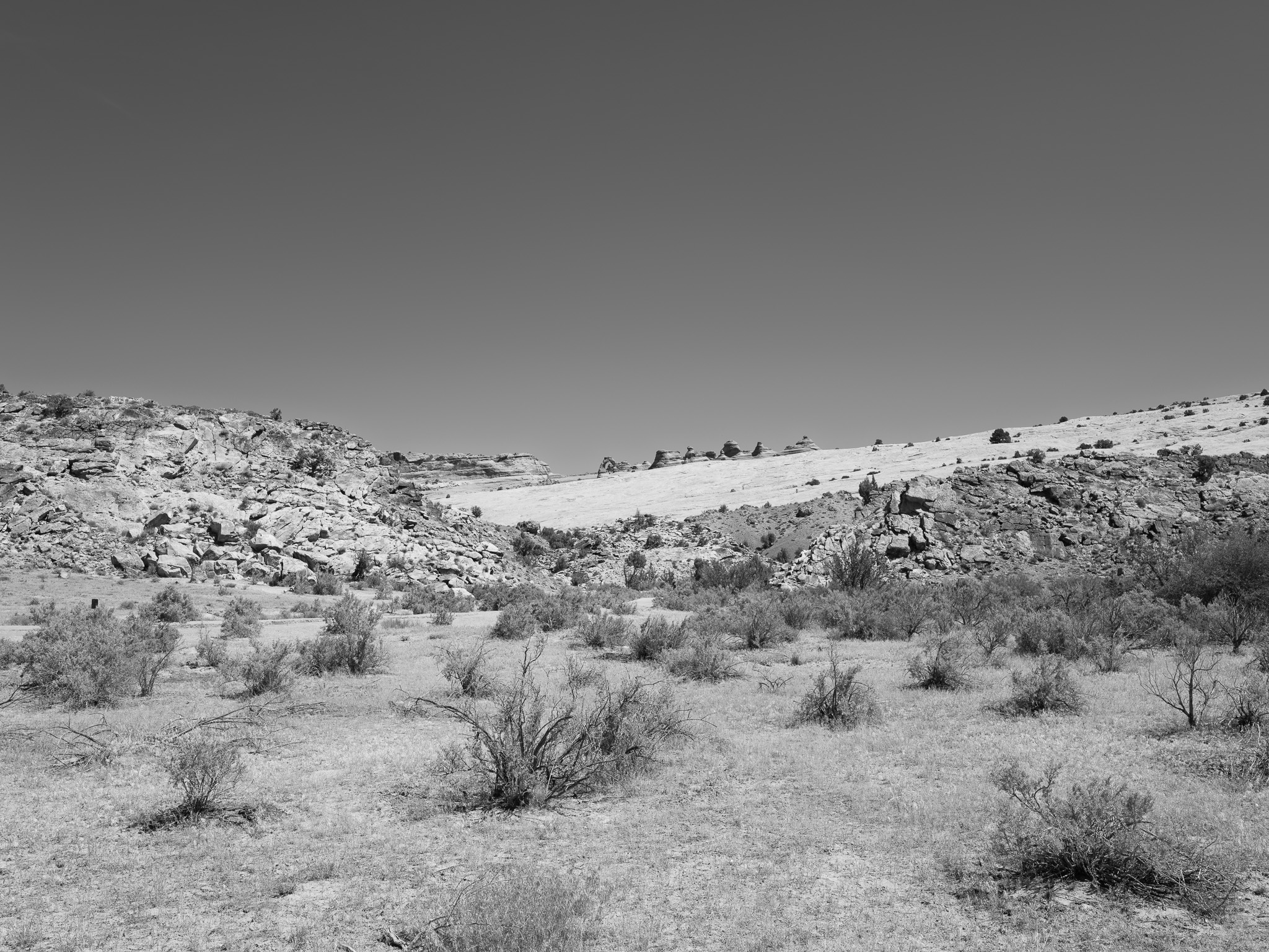
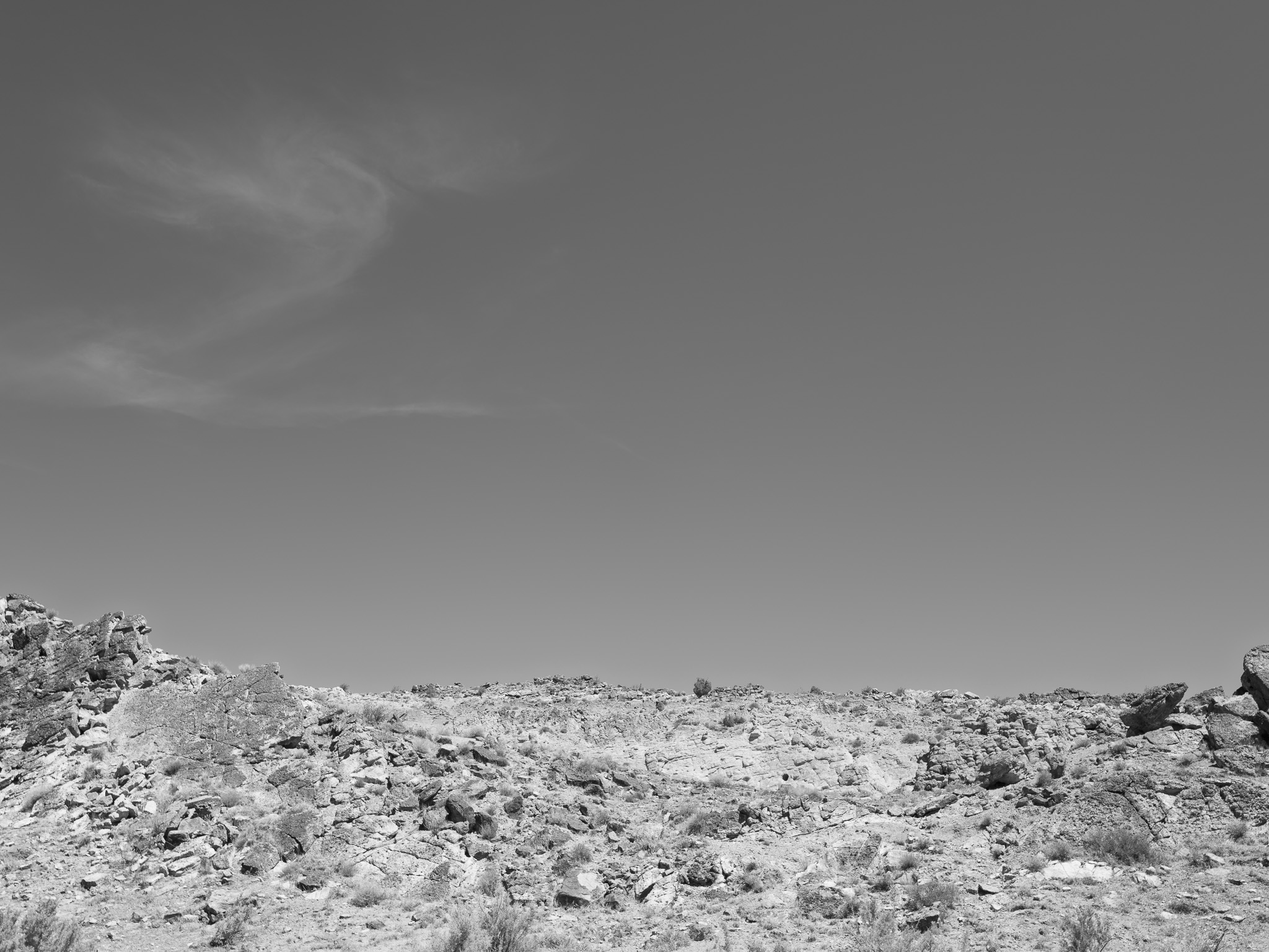
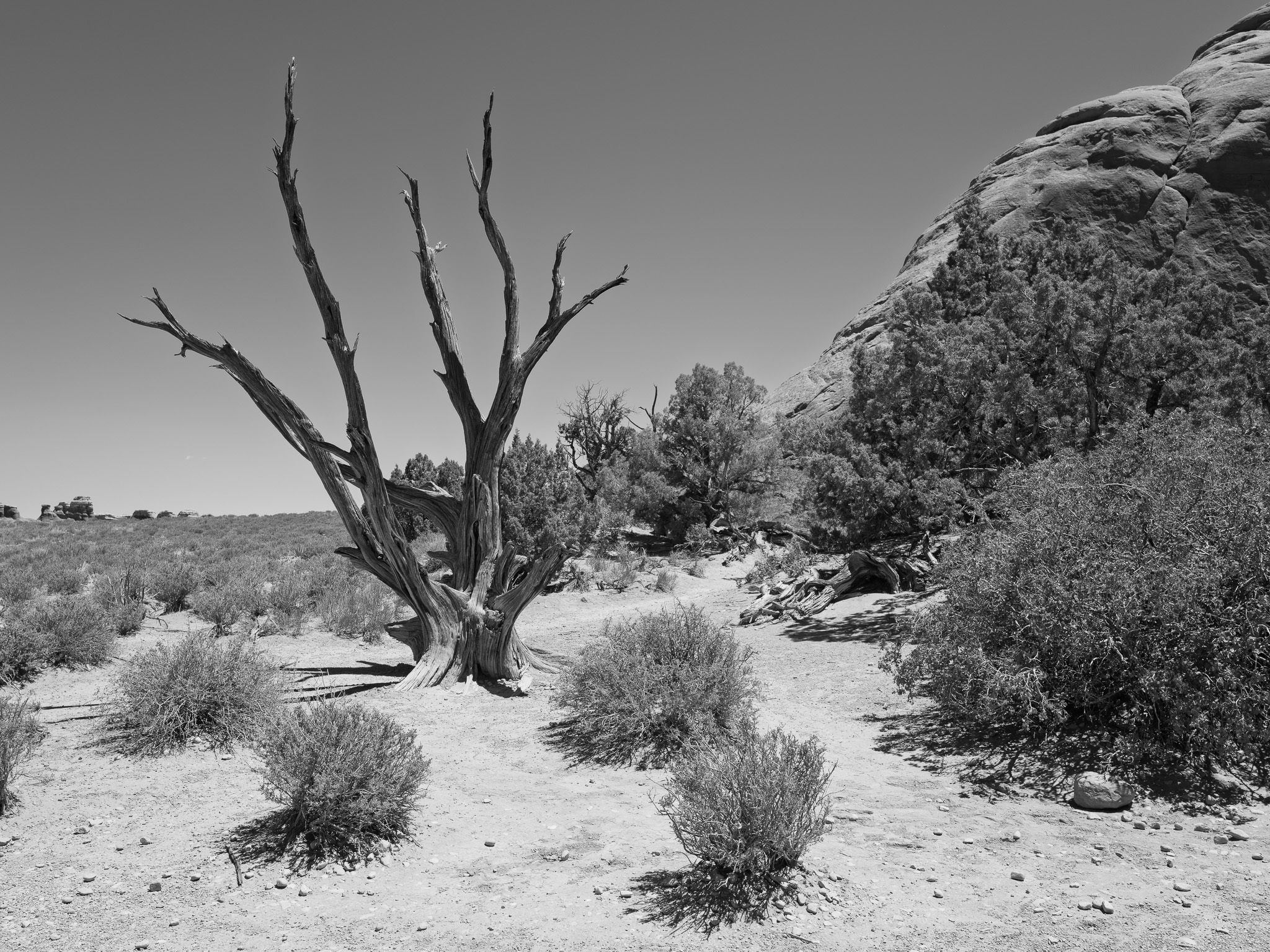
A cold high desert receiving only 8 to 10 inches of rain a year, dominated by pinyon-juniper woodland on rocky soils with blackbrush, Mormon tea, cliffrose, and saltbush in the openings; the ground between plants is held by biological soil crust, a living mat of cyanobacteria, lichens, and mosses that fixes nitrogen and resists erosion but takes decades to recover once trampled. More than 480 plant species persist here; wildlife includes desert bighorn sheep, mule deer, mountain lion, kangaroo rat, and antelope squirrel, most of it nocturnal, alongside collared and side-blotched lizards, midget faded rattlesnake, and gopher snake.
Hydrology
Drained entirely to the Colorado River, whose canyon forms the park's southeastern boundary; most of the park sheds through Salt Wash, whose canyon reaches nearly 1,200 feet deep near the confluence and carries the park's most reliable surface water, while the southwest drains via Courthouse Wash and Moab Canyon. Salt Valley, a collapsed salt anticline, runs northwest to southeast through the park, and intermittent washes and rare potholes hold the only other standing water in this arid landscape.